シュリッツの天然記念物・トップ20
シュリッツが誇る美しい風景を見てみたいなら、シュリッツの素晴らしい天然記念物・トップ20
に行ってみましょう。あなたにぴったりの場所が見つかるよう、素晴らしい天然記念物を探索するために必要なすべての情報を集めました。次のアウトドアの冒険に出かける計画の参考にしましょう。
最終更新日: 9月 27, 2026
ハウネタールシュペレ
ハイライト • 湖
翻訳者 Google •
役立つ情報 は

フルダ城公園
ハイライト • 記念碑
翻訳者 Google •
役立つ情報 は

今すぐサインアップして、こんな場所を発見しよう
最高のシングルトラック、ピーク、その他のエキサイティングなアウトドアスポットのおすすめを受け取ろう。
Haunestausee
ハイライト • 湖
翻訳者 Google •
役立つ情報 は

ヘルツベルク城
ハイライト • 城
翻訳者 Google •
役立つ情報 は




コミュニティからのヒント


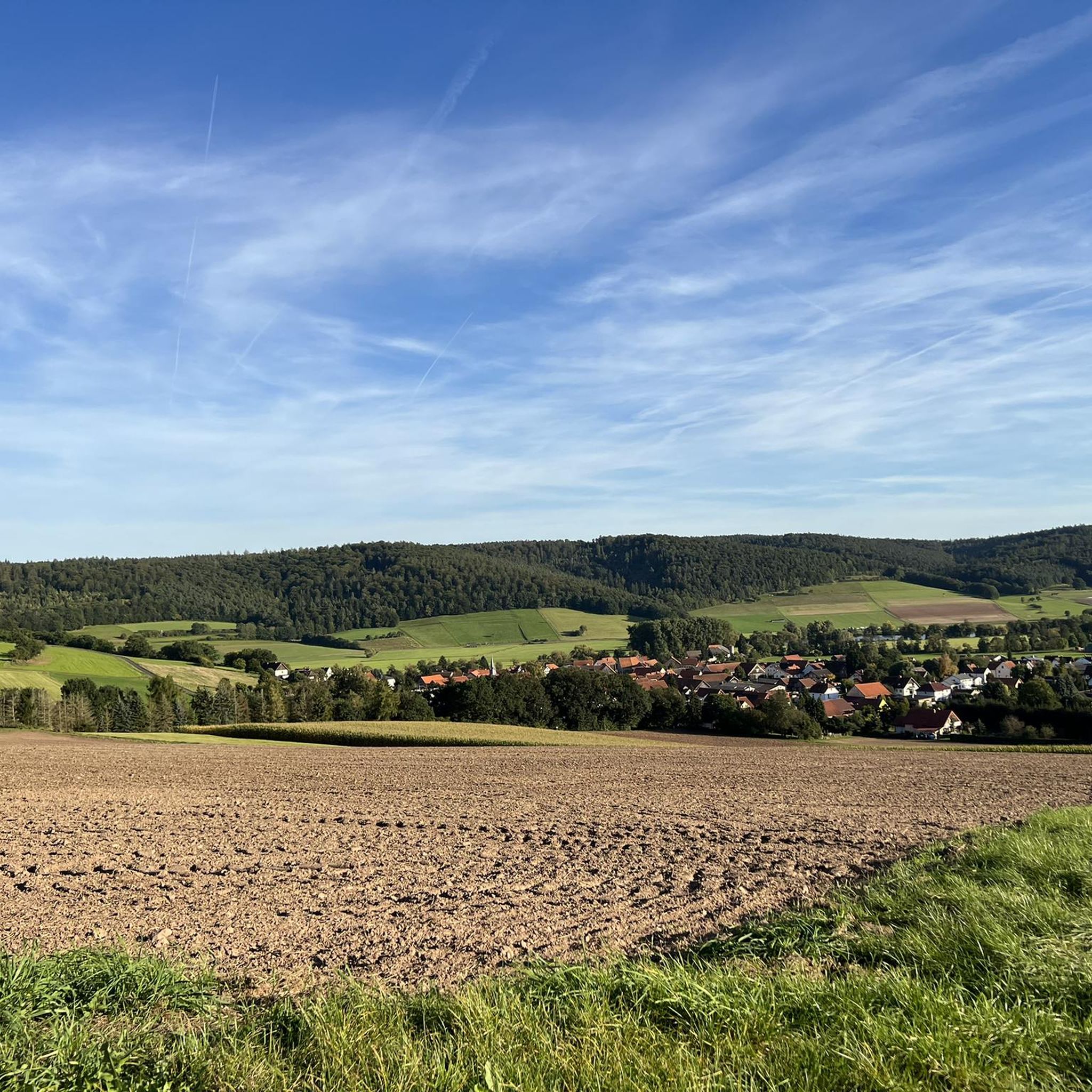
It's a beautiful drive from Steinhaus through the forest to the Haunestausee, far to Rückers past the Mariengrotte and back.
0
1

The construction of the Marbach retention basin with permanent dam required extensive and difficult land negotiations in the 1970s, which lasted for six years. For example, the Zellmühle, the Grubenmühle and the Grubenhof had to be relocated. In 1983, the project was given the go-ahead/construction began. The work went according to plan, so that Phase I of the test dam could be initiated on February 1, 1988. In the spring of 1989, Phase II was successfully passed, so that the approval and commissioning was now possible. In addition to the main goal of preventing flooding and the associated damage, the creation of the permanent dam with a size of 15.6 hectares is intended to enrich the landscape and create opportunities for leisure and recreation. A protected part of the permanent dam with around five hectares serves in a special way to protect nature and the landscape and exclusively to promote and care for nature. The remaining area of around ten hectares, a circular path and ancillary facilities are used by the residents of our area for leisure activities and recreation. The hydropower inherent in the dam is used to generate electricity by SynEnergie - a company of RhönEnergie Fulda. The construction of this plant cost 32 million German marks (1989).
2
1

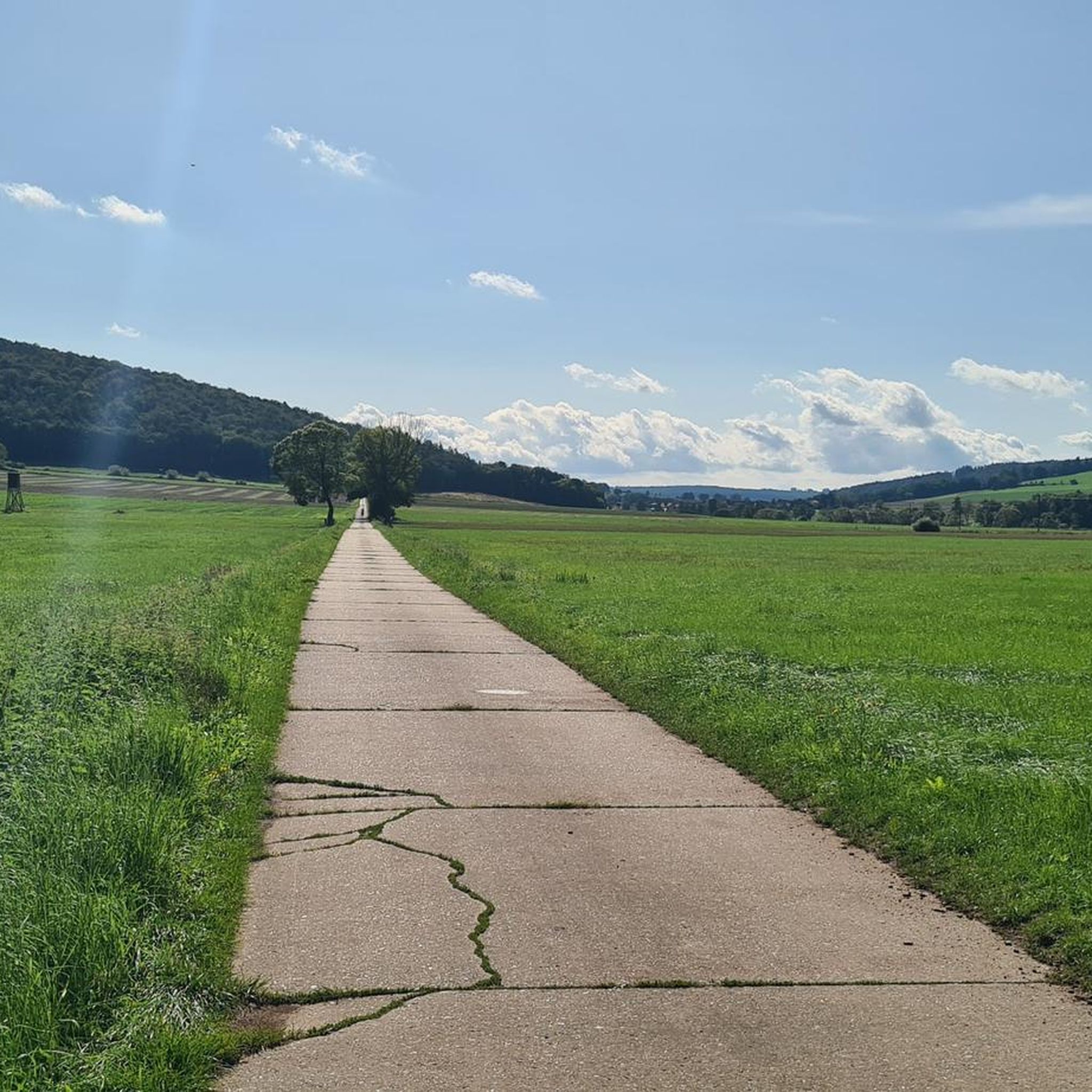
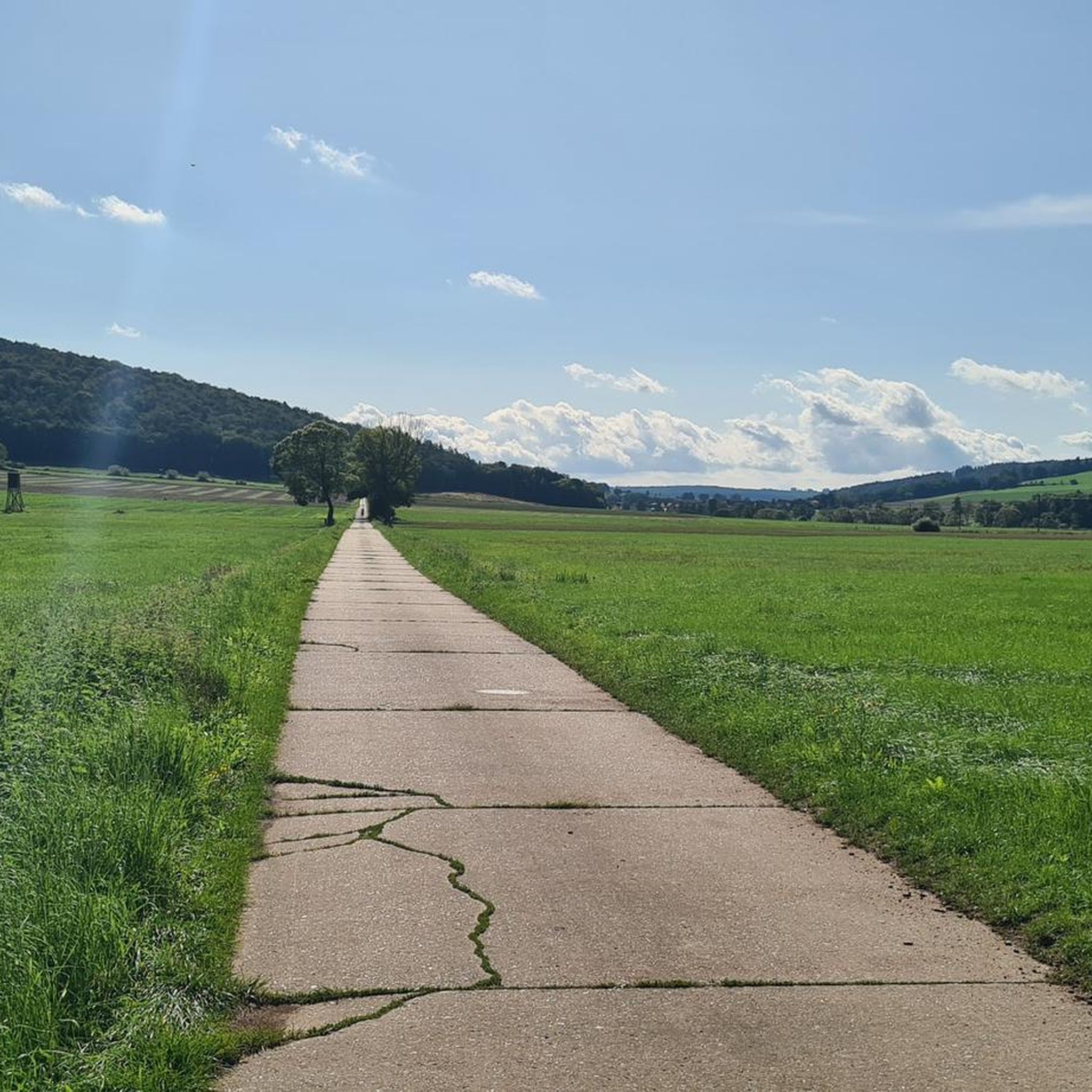
It is a beautiful and extremely flat running route around the Haunestausee.
2
0

The Haune Dam of the Haune Water Association is a small dam and reservoir and at the same time a flood retention basin on the Haune near the village of Marbach in the eastern Hessian district of Fulda and belongs to the catchment area of the Weser source river Fulda.
3
0
The Haune Dam of the Haune Water Association is a small dam and reservoir and at the same time a flood retention basin on the Haune near the village of Marbach in the eastern Hessian district of Fulda and belongs to the catchment area of the Weser source river Fulda.
5
1

シュリッツでのの人気観光スポット

komootモバイルアプリでインスピレーションを得よう


さらに探索
これらのガイドで、最高の洞窟を探す範囲を広げましょうシュリッツでの:
