ボルンヘーフェドの天然記念物・トップ20
ボルンヘーフェドが誇る美しい風景を見てみたいなら、ボルンヘーフェドの素晴らしい天然記念物・トップ20
に行ってみましょう。あなたにぴったりの場所が見つかるよう、素晴らしい天然記念物を探索するために必要なすべての情報を集めました。次のアウトドアの冒険に出かける計画の参考にしましょう。
最終更新日: 9月 14, 2026
イールゼー湖
ハイライト • 湖
湖の形成については、まだ完全に解明されていません。氷河期後にデッドアイスによって形成された窪地であるか、あるいはゼーゲベルガー塩ドームの洞窟の崩壊によって生じたシンクホールであるかのいずれかです。
現在、湖の面積は約29ヘクタールで、南北に450メートル、東西に約850メートルに広がっています。湖岸線の長さは2.25キロメートルです。ビュルト湖やガーレン湖とともに、この湖はシュレースヴィヒ=ホルシュタイン州で数少ない栄養塩の少ない湖の一つです。
湖は窪地にあり、流入河川はありません。地下水と流入する表層水(降水)のみによって供給されています。
水浴場エリアの北側には流出口があり、湖とグローサー・ゼーゲベルガー湖を結んでいます。
湖は周回できますが、湖岸に沿った直接の道はありません。
東岸には数十年前から存在する水浴場があり、水浴場の水質は定期的に監視されており、近年は非常に良いから良いと評価されています。
北岸には住宅地があります。
西側と南側では、沼沢林であるイールヴァルトが湖岸帯を形成しています。1911年から1961年まで、イール湖にはキール=ゼーゲベルクナローゲージ鉄道の駅がありましたが、その線路は1962年にはすでに撤去されました。
イール湖は、その特別な特徴から1950年に自然保護区に指定されました。この湖は特に栄養塩の少ない水域であり、珍しい植物相をもたらしています。現在、この湖はイール湖とイールヴァルト自然保護区の一部であり、2006年からはNatura 2000保護地域ネットワークの一部となっています。
de.wikipedia.org/wiki/Ihlsee
翻訳を表示中
役立つ情報 は

カットホルツオーク
ハイライト • 自然記念物
ドイツで最も太いと言われている。 ;)
翻訳を表示中
役立つ情報 は

今すぐサインアップして、こんな場所を発見しよう
最高のシングルトラック、ピーク、その他のエキサイティングなアウトドアスポットのおすすめを受け取ろう。
タールベカー・ムーア
ハイライト • 自然
翻訳者 Google •
役立つ情報 は

イールヴァルト自然保護区
ハイライト • 森
翻訳者 Google •
役立つ情報 は

Stocksee自然保護区
ハイライト • 湖
翻訳者 Google •
役立つ情報 は

無料でサインアップして、さらに多くの自然記念物を発見しましょう ボルンヘーフェドでの。
すでにアカウントをお持ちですか?
無料アカウントで今日から始めよう
次の冒険が待っています。
コミュニティからのヒント

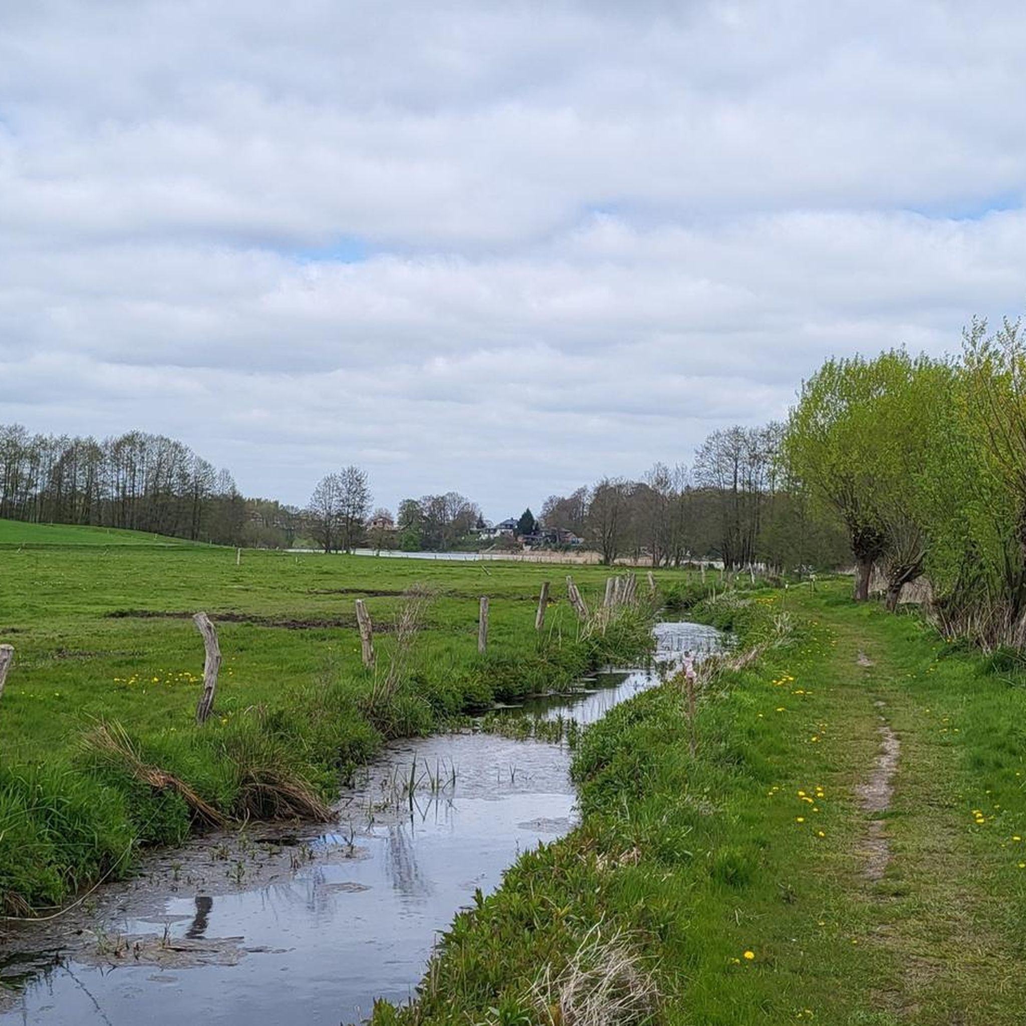
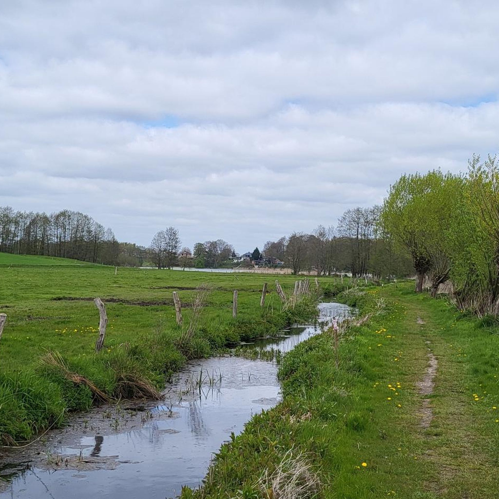
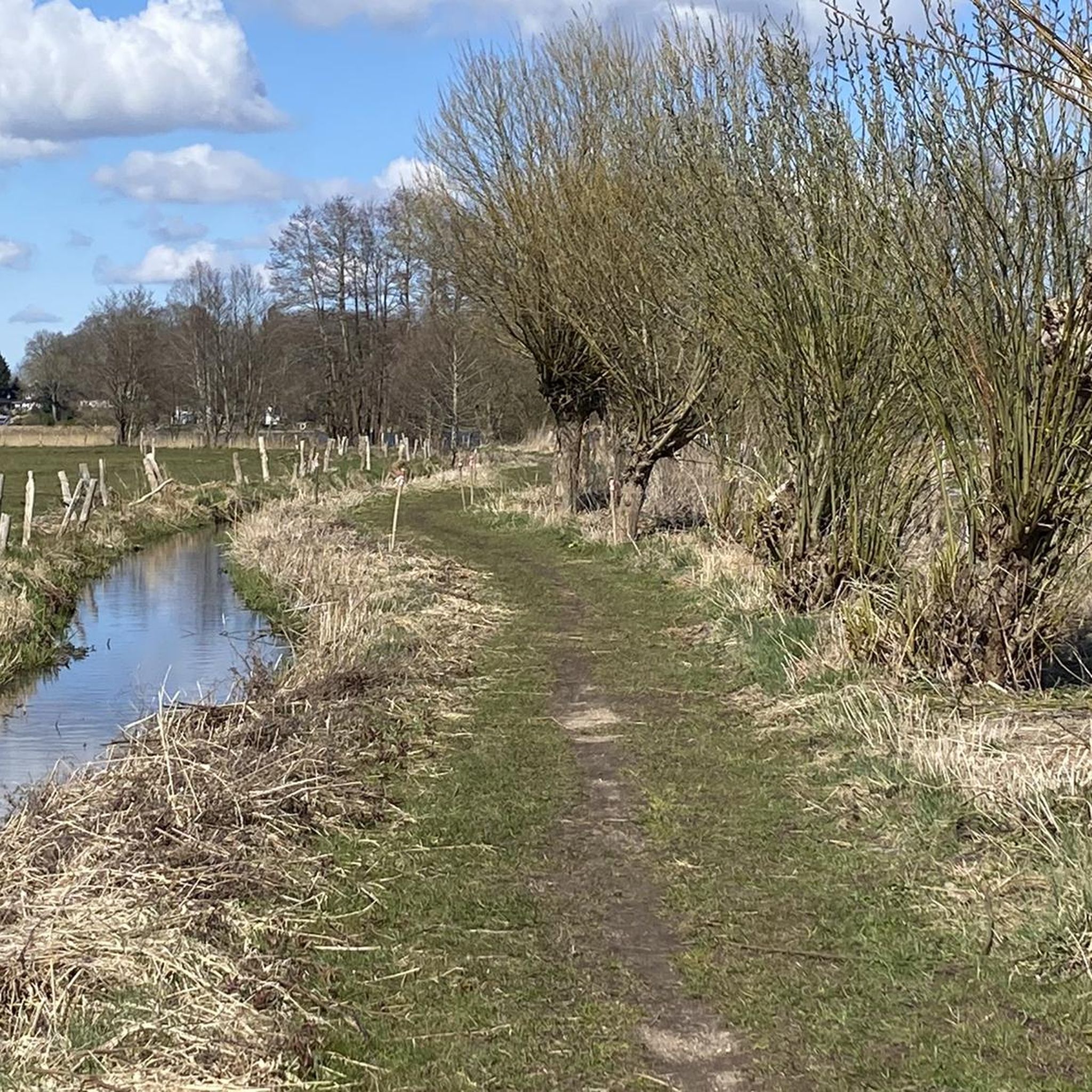
A tranquil nature reserve with pristine nature, home to rare bird species and diverse plant life. The paths mostly follow the edge, allowing you to enjoy the untouched landscape in all its tranquility. An ideal place for nature lovers who appreciate peace and quiet and unique flora and fauna.
3
0

The list of cultural monuments in Stocksee includes the cultural monuments registered in the list of monuments of the state of Schleswig-Holstein. The lake, the Stockseehof and the annual music festival as part of the Schleswig-Holstein Music Festival are particularly well-known. There is a campsite on the lake. Motorboats and water sports equipment are not allowed on the lake. Fishing licenses are available for fishing. An (unguarded) bathing area with a playground and changing rooms is located in the middle of the village on Seestrasse. Since October 2010, village community rooms have been available for use by local clubs and groups in the old school, the former home of the honorary mayor Dietrich Wiebe, who died in 2009.
11
0
In terms of settlement geography, the municipality consists of a number of districts, also called residential areas in the jargon of settlement statistics. The municipality of Stocksee includes the settlement areas of the eponymous village, the Moorkate group of houses, the Stockseehof estate settlement, the Lehmkuhl farm settlement and the Tannenkate and Voßberg house settlements.
11
1
The area of the municipality of Stocksee extends along the water of the same name[2] in the northwestern part of the main natural area of the East Holstein Hills and Lakes Region (No. 702),[3] one of the Schleswig-Holstein hill countries.
11
1
Stocksee is a municipality in the district of Segeberg in Schleswig-Holstein. The municipality is known throughout Schleswig-Holstein for the summer camp that takes place every year during the summer holidays for up to 170 children and young people from schools in Neumünster, Husum and Itzehoe.
11
0

As part of the Holstein Switzerland Nature Park, the Tarbek Moor with its special charm is a popular excursion destination that gives you a variety of impressions. With its diverse composition of ponds and vegetation-free peat banks, it offers undisturbed insights into a mysterious-looking habitat. A moor birch forest borders dark ponds surrounded by snakeroot, dead birch trees in water-filled peat pits rise picturesquely into the sky and fields of waving cotton grass are reminiscent of images from Nordic legends. In the 131-hectare area, which was previously used as a peat extraction area, remnants of this use can still be seen today and carefree cycling and hiking from the Tarbek Moor to the Ihlsee in Bad Segeberg is possible both along former routes that have been preserved to this day and along the railway embankment that connected Bad Segeberg, Bornhöved and Kiel until 1960. https://www.blunkerbach-sh.de/tarbeker-moor
3
0
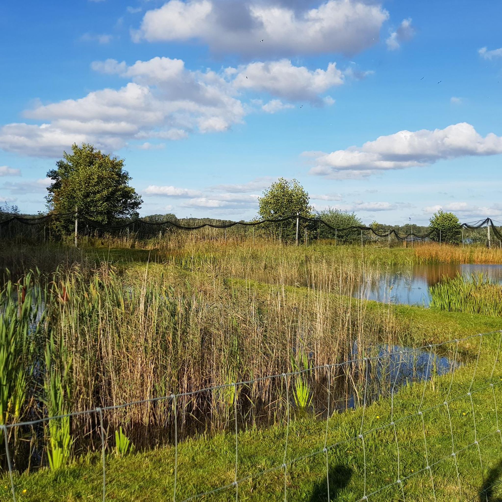
The 28 hectare Ihlsee is located on the northern outskirts of Bad Segeberg and is a very special body of water: Unlike most lakes in Schleswig-Holstein, the Ihlsee is low in nutrients and lime and is therefore the habitat of extremely rare plant species in this country. Typical are the lawns of European sea larkspur, which grows from temporarily dry shore areas to a depth of around 2 m. In addition, sea quillwort and water lobelia grow in the shallow water zones, pushing their pale blue or white flowers above the water surface in summer. The Ihlsee is the last body of water in Schleswig-Holstein where the water lobelia and the shimmering luminous algae, which occur at greater water depths, occur. In total, at least 11 species of submerged leaf plants live in the Ihlsee, some of which are highly endangered. Aquatic plants can be found here as deep as 9 m. The clear water of the lake makes this possible, as sunlight can penetrate to these depths. Due to the comparatively low nitrogen and phosphorus content of the lake water, plant and animal plankton, which cloud the water in many other lakes, develop only sparsely. The Ihlwald forest, which borders the southern shore of the lake, is also part of the 42-hectare nature reserve, which is managed voluntarily by NABU Bad Segeberg. The wild Ihlwald forest can be admired from a hiking trail. The shore is quite overgrown, so unfortunately you can't see much of the lake, but it is still a beautiful path through the nature reserve. Due to the damp site conditions, a large part of the area consists of black alder swamp forests with downy birch and peat mosses, as well as ash wet forests in which stately pedunculate oaks grow. https://www.naturpark-holsteinische-schweiz.de/naturschutzgebiet-ihlsee-und-ihlwald
2
0
イール湖は、バート・ゼーゲベルク郡庁所在地の北西部に位置し、クライニーニエントルフ地区の北端にあり、指定されたイール湖とイールヴァルト自然保護区の一部です。 湖の形成については、まだ完全に解明されていません。氷河期後にデッドアイスによって形成された窪地であるか、あるいはゼーゲベルガー塩ドームの洞窟の崩壊によって生じたシンクホールであるかのいずれかです。 現在、湖の面積は約29ヘクタールで、南北に450メートル、東西に約850メートルに広がっています。湖岸線の長さは2.25キロメートルです。ビュルト湖やガーレン湖とともに、この湖はシュレースヴィヒ=ホルシュタイン州で数少ない栄養塩の少ない湖の一つです。 湖は窪地にあり、流入河川はありません。地下水と流入する表層水(降水)のみによって供給されています。 水浴場エリアの北側には流出口があり、湖とグローサー・ゼーゲベルガー湖を結んでいます。 湖は周回できますが、湖岸に沿った直接の道はありません。 東岸には数十年前から存在する水浴場があり、水浴場の水質は定期的に監視されており、近年は非常に良いから良いと評価されています。 北岸には住宅地があります。 西側と南側では、沼沢林であるイールヴァルトが湖岸帯を形成しています。1911年から1961年まで、イール湖にはキール=ゼーゲベルクナローゲージ鉄道の駅がありましたが、その線路は1962年にはすでに撤去されました。 イール湖は、その特別な特徴から1950年に自然保護区に指定されました。この湖は特に栄養塩の少ない水域であり、珍しい植物相をもたらしています。現在、この湖はイール湖とイールヴァルト自然保護区の一部であり、2006年からはNatura 2000保護地域ネットワークの一部となっています。 https://de.wikipedia.org/wiki/Ihlsee
3
0
ボルンヘーフェドでのの人気観光スポット

komootモバイルアプリでインスピレーションを得よう


さらに探索
これらのガイドで、最高の洞窟を探す範囲を広げましょうボルンヘーフェドでの:
