スタンズの峠・トップ10
風景を楽しんだり、上りや下りを満喫したり、峠には楽しみ方がたくさんあります。スタンズの素晴らしい峠の一覧を参照して、思い出に残るアドベンチャーに出かけましょう。コミュニティのメンバーがコミュニティのために投稿した峠のハイライトは、他のユーザーが実際におすすめする情報なので、どれも信頼できるものです。気に入った峠にさっそく向かってみましょう。
最終更新日: 7月 7, 2026
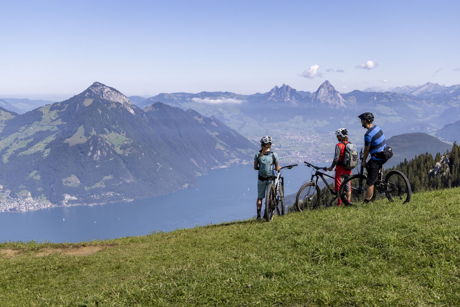
Staffelhöhe
ハイライト • 展望台
翻訳者 Google •
役立つ情報 は

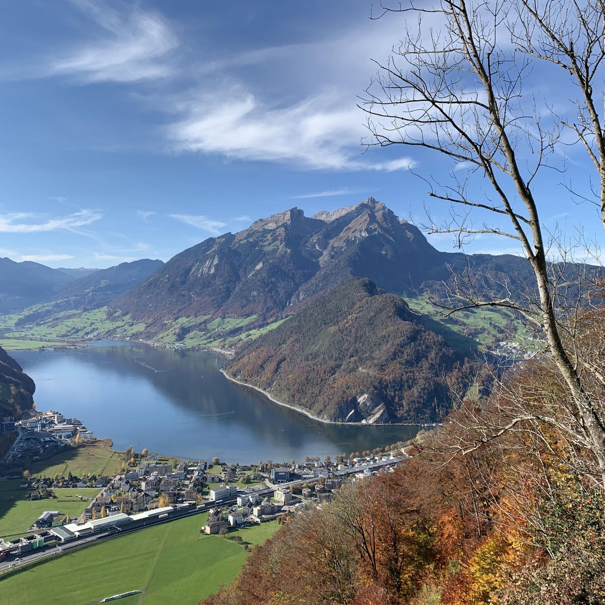
レンッグ峠
ハイライト • 山道
翻訳者 Google •
役立つ情報 は

今すぐサインアップして、こんな場所を発見しよう
最高のシングルトラック、ピーク、その他のエキサイティングなアウトドアスポットのおすすめを受け取ろう。
無料新規登録
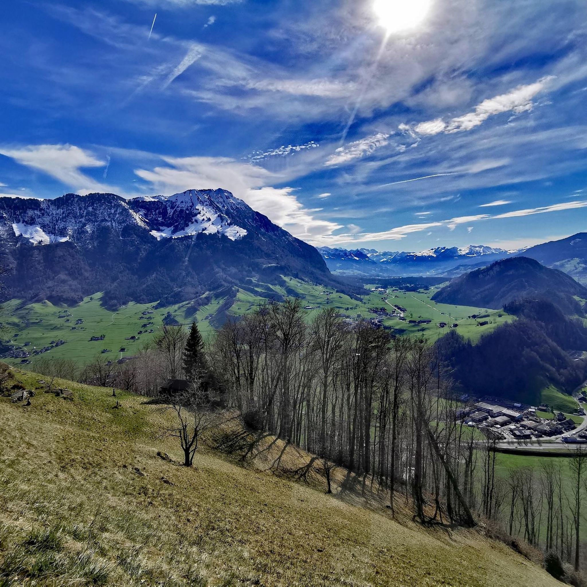
エッヒャーリ峠
ハイライト • 山道
翻訳者 Google •
役立つ情報 は

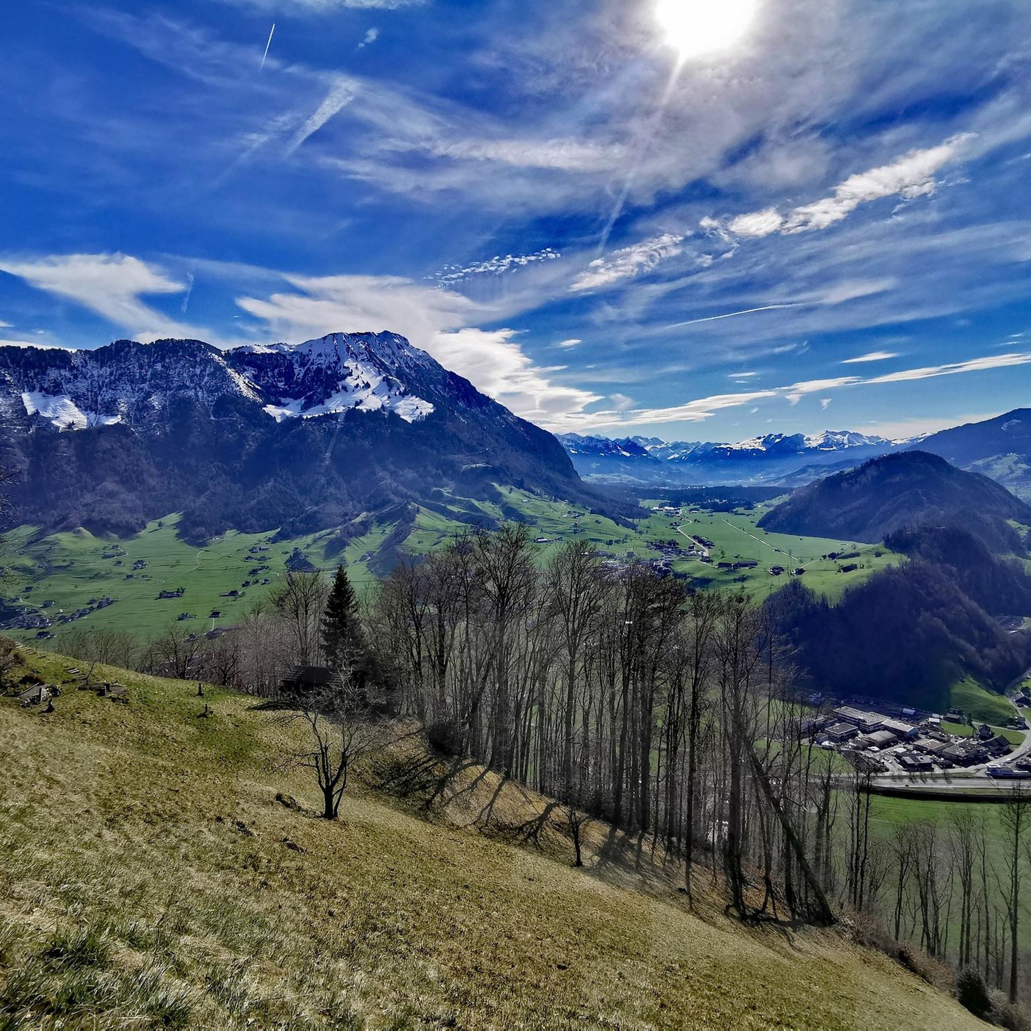
サルネン発:グラウベンベルク峠
ハイライト (セグメント) • 山道
It gets pretty cold on the descent from Glaubenberg, so make sure you have something warm :)
役立つ情報 は






スタンズでのの他の冒険


コミュニティからのヒント


The Rengg Pass connects Hergiswil and Alpnachstad and was once an important mule track. Today, a beautiful hiking trail leads through forests and past historical sites, including the remains of a medieval defensive wall. The pass offers tranquil nature, steep sections, and views of Lake Lucerne and Mount Pilatus – ideal for a short, historically rich hike.
7
0


This is where the cantonal border between Lucerne and Schwyz lies. Originally, the Vitznau Rigi Railway was only allowed to run as far as Staffelhöhe. For a long time, it was not allowed to cross the cantonal border from Lucerne to Schwyz. The reason was that the people of Schwyz wanted to promote the Arth Rigi Railway, which lies on Schwyz soil. It was not until two years later (1873) that the railway was extended to Rigi Kulm (1752 m above sea level). This section lies in the territory of the canton of Schwyz, for which the VRB does not have a concession. The line belongs to the ARB and was leased by the Vitznau-Rigi Railway. It was not until 1990 that a track connection was established between the ARB and VRB in Rigi Staffel. This was the beginning of the merger, which was completed in 1992 and also includes the Weggis–Rigi Kaltbad cable car (LWRK).
1
0

The Renggpass is located at 885 meters above sea level, exactly between the two cantons of Nidwalden and Obwalden. From here you can look down about 450 meters to Lake Lucerne.
4
0

The path/climb from here over the back to the Chrummhorn is steep and spectacular... ;-)
2
0

A tough pass - but very lonely and with very few cars. It is also wonderful to ride a gravel bike.
0
0

The historic mountain saddle Rengg, 891 m above sea level, was once a popular pass crossing to Obwalden and from there to Lucerne. Before the Brünigstrasse was built, this was the only land route along the Lopper and the shortest land connection with the Brünig.
4
0

komootモバイルアプリでインスピレーションを得よう


さらに探索
これらのガイドでさらに壮大な山道を見てみましょうスタンズでの:
