スタンズのおすすめランニングルート
4.5
(222)
11,576
ランナー
41
ランニング
スタンズでランニングを楽しめば、このエリアをより深く知ることができます。ランニングに適した美しいルートが見つかるように、komootがスタンズでのルートのコレクション全体を評価して選び抜いた、人気ランニングトレイルをご紹介します。ルートをクリックして詳細を表示し、他のユーザーがアップロードした役立つ情報や写真を閲覧しましょう。
最終更新日: 8月 21, 2026
3.8
(5)
320
ランナー
19.3km
03:29
1,360m
1,360m
難しいジョギング. 標準以上のフィットネスレベルが必要です。 安定して歩行できる技術、丈夫な靴、高標高地での登山経験が必要です。
5.0
(1)
66
ランナー
中程度のジョギング. ある程度のフィットネスレベルが必要です。 全般的に舗装された状態です。あらゆるスキルレベルに適しています。

無料新規登録
5.0
(1)
60
ランナー
4.91km
00:30
10m
10m
初級者向けランニング. あらゆるフィットネスレベルに適しています。 全般的に舗装された状態です。あらゆるスキルレベルに適しています。
47
ランナー
中程度のジョギング. ある程度のフィットネスレベルが必要です。 全般的に舗装された状態です。あらゆるスキルレベルに適しています。
53
ランナー
15.6km
03:25
1,360m
1,360m
難しいジョギング. 標準以上のフィットネスレベルが必要です。 安定して歩行できる技術、丈夫な靴、高標高地での登山経験が必要です。
さらに多くのルートや他のユーザーのおすすめ情報を確認できます。
無料新規登録
すでにアカウントをお持ちですか?
おすすめのツアーは他のkomootユーザーが実際に経験した何千ものアクティビティに基づいています。



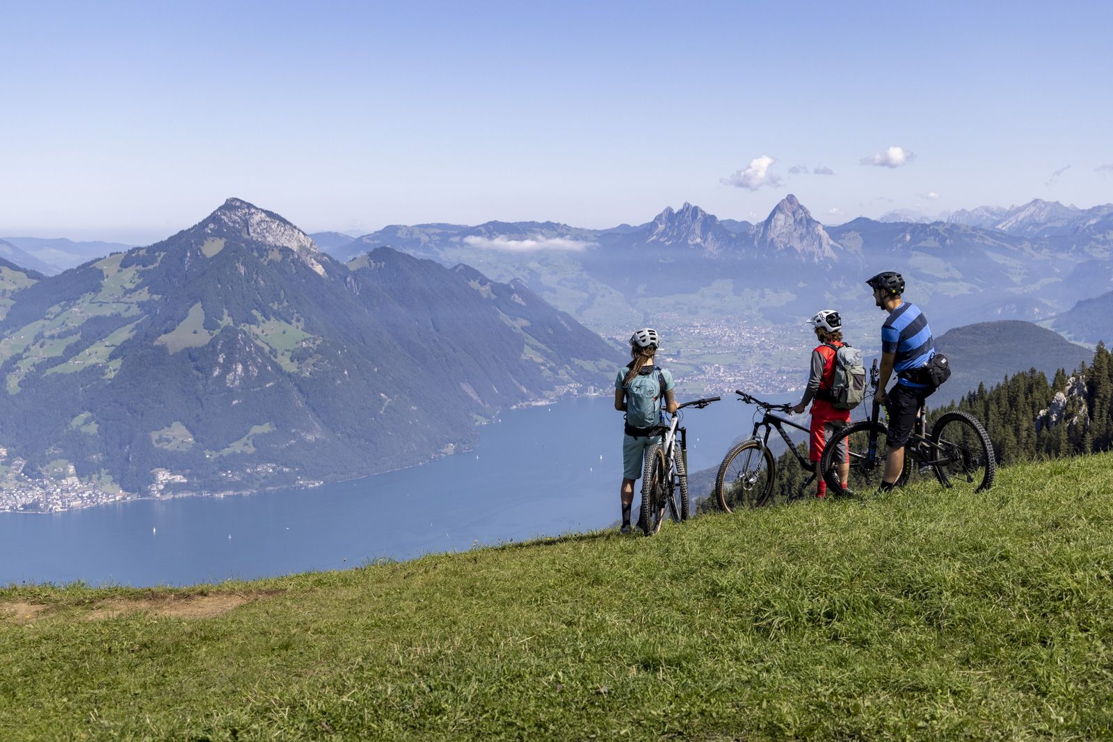
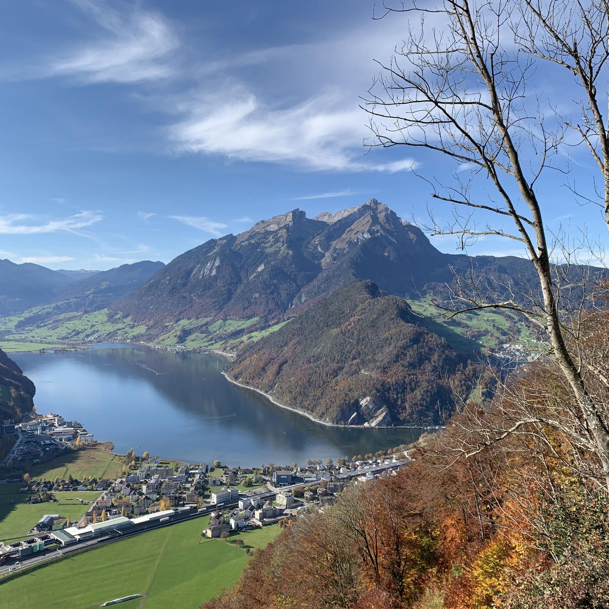
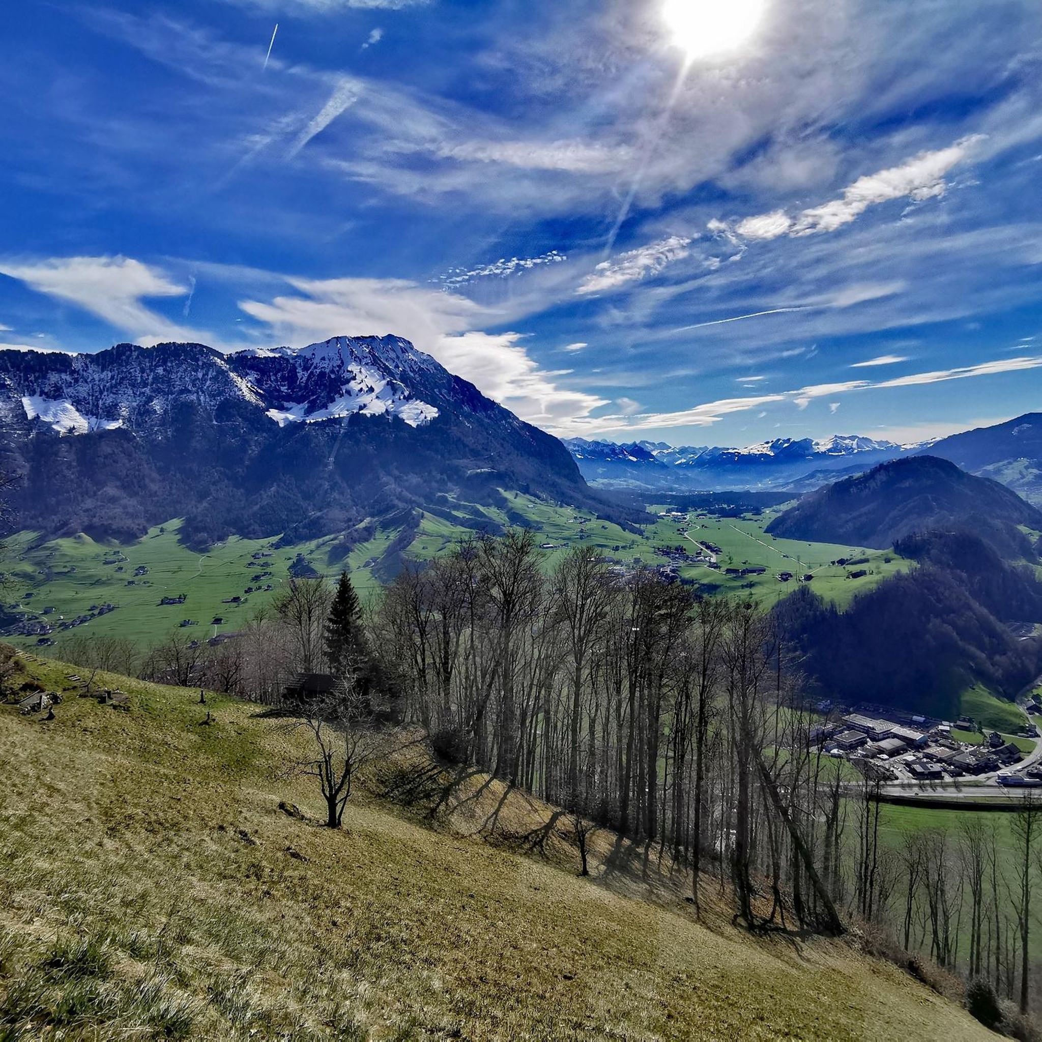
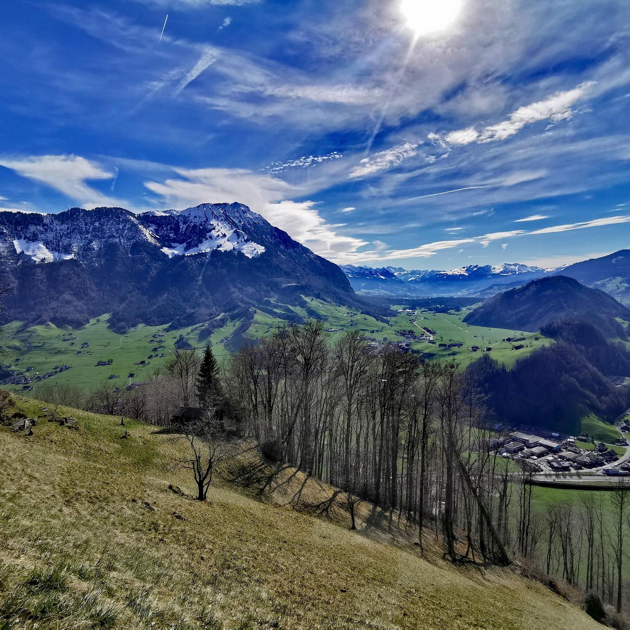
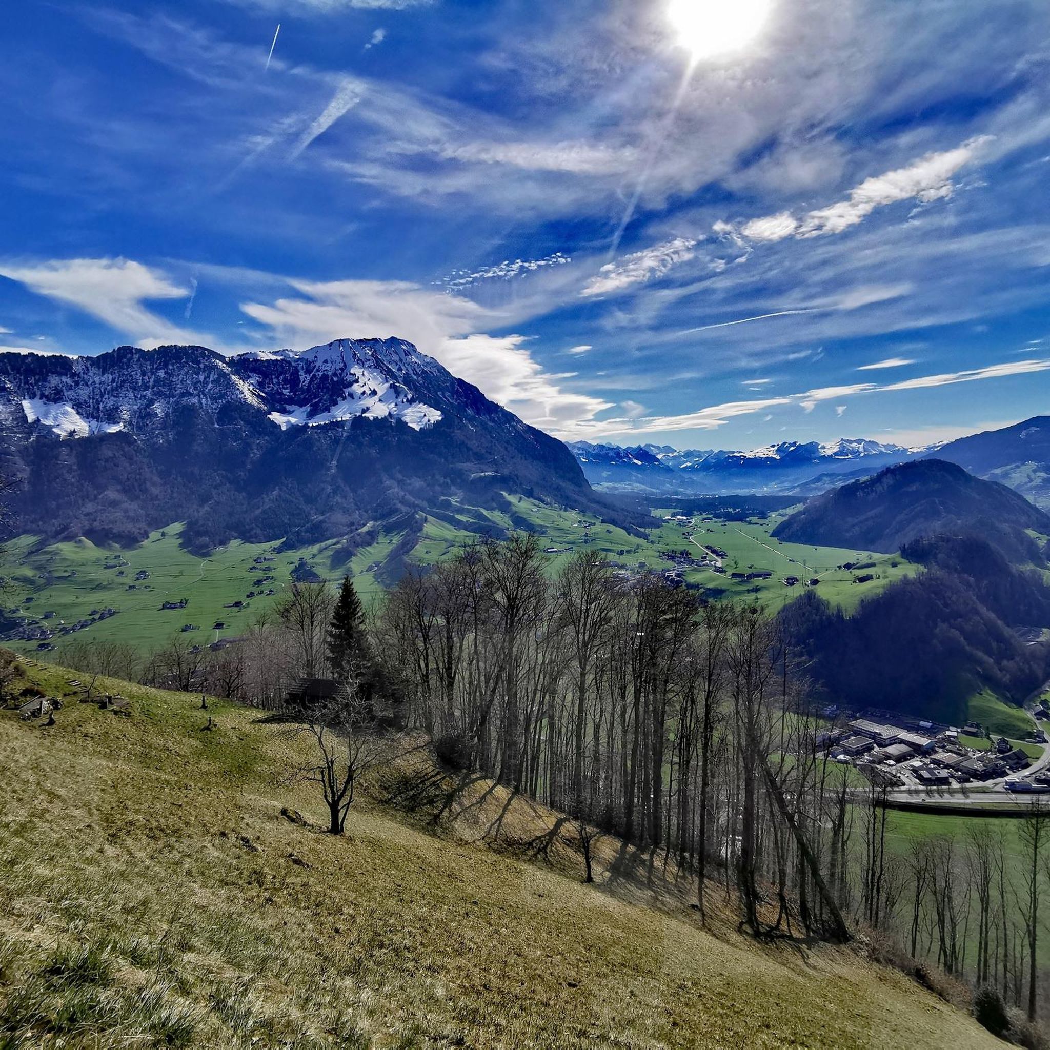

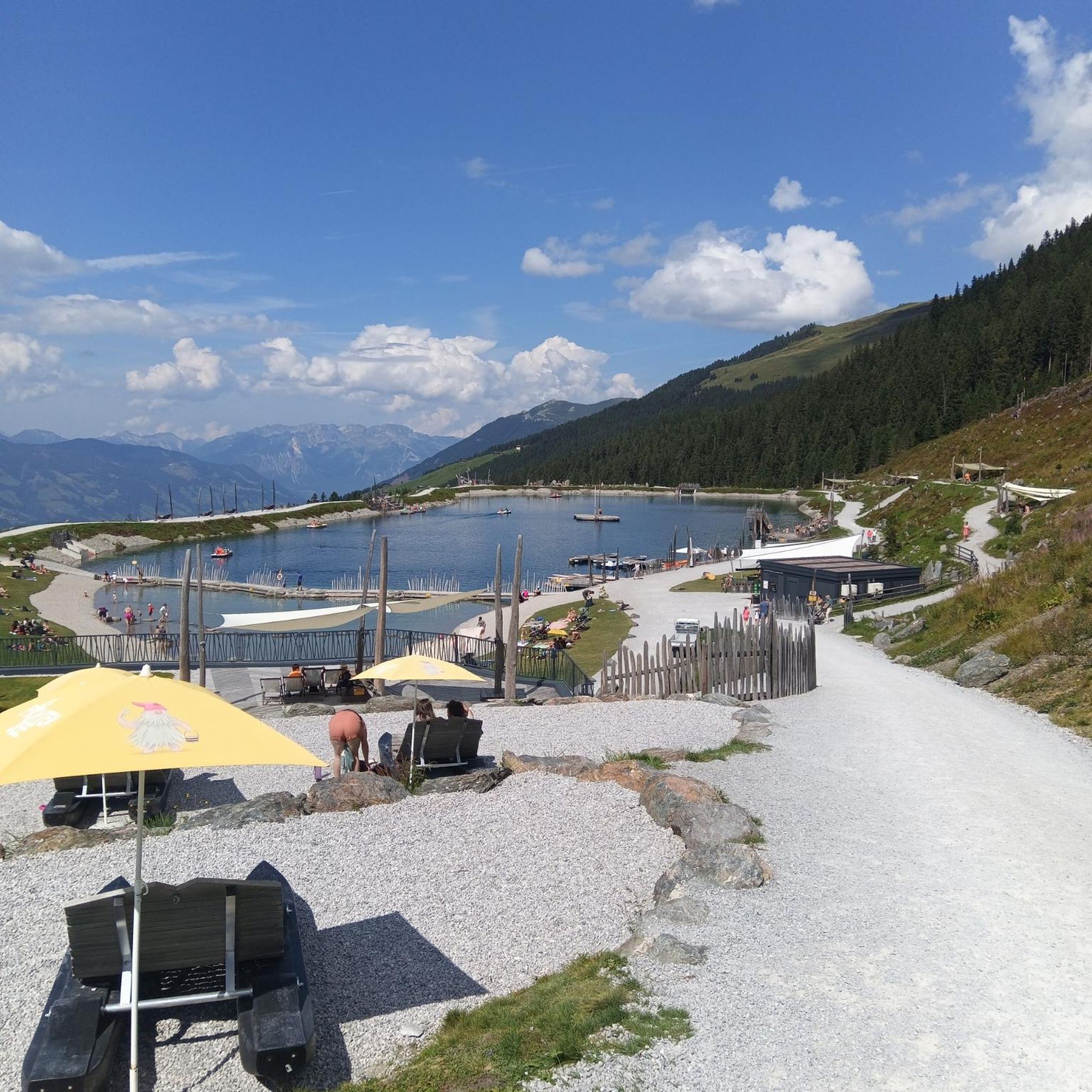
スタンズでのの他の冒険


コミュニティからのヒント

素晴らしい眺めですが、人が少し多く、値段も高いです。しかし、眺めのためだけでも登る価値はあります。
0
0

道端の十字架、Aawasser Damwegにて。少し変わった場所ですが、人が行き交うところにはどこにでも道標があります。立ち止まり、静かに考えましょう。
0
0

The 1,897 m high Stanserhorn is a fantastic vantage point, easily accessible from Stans by historic funicular and the world's only CabriObahn. A roughly half-hour circular walk around and up to the summit offers magnificent views in all directions, including the communities on Lake Lucerne, the Engelberg Valley, and the Sarner Aa Valley, as well as the glaciated peaks of the Bernese Oberland (Eiger, Mönch, and the Wetterhorn Group to the south) and the Uri Alps (Titlis, Walenstöcke, and Ruchstock to the southeast). A restaurant with a large terrace invites you to linger and enjoy food and refreshments. The marmot enclosure and the steel viewing platform are sure to be of interest to children. The descents south to Wiesenberg and across the alpine pastures from Treichi to Wirzweli are particularly worthwhile in early summer. Then, in addition to the mountain panoramas, the blossoming alpine flora is captivating. The direct northward descent via Chälti, as well as the Kammweg and Blättli trails to Stans, is also very attractive despite its length, offering repeated magnificent views of Lake Lucerne, Mount Pilatus, Mount Bürgenstock, and Mount Rigi. Important: For the descent, you should purchase a boarding pass for a fixed travel time online in advance immediately after arriving on the CabriObahn, or if you chose to ascend on foot, to avoid long waits.
0
0

A great view from there and it won't be long before you reach the summit.
0
0
A cool ride on a vintage train. A must-do experience.
0
0
A great place for a short rest with a wonderful view of the valley. It has a table and seating.
0
0

There are numerous administrative buildings around the town hall square, including the Nidwalden cantonal parliament
1
0

A unique experience to ride the funicular! And it is definitely nicer than walking from Stans to Kälti. You almost feel like you have been transported to another time. The tickets alone are wonderfully retro😊
0
0

komootモバイルアプリでインスピレーションを得よう


さらに探索
他の地域の最高のランニングトレイル & ルートを見てみましょう。
