ルート

プランナー

機能

アップデート

App

ログインまたはサインアップ

アプリを入手

ログインまたはサインアップ

ルート
Places to see
Mountain passes
スイス
中央スイス
ニートワルデン

エネットモース

エネットモースの峠・トップ10

風景を楽しんだり、上りや下りを満喫したり、峠には楽しみ方がたくさんあります。エネットモースの素晴らしい峠の一覧を参照して、思い出に残るアドベンチャーに出かけましょう。コミュニティのメンバーがコミュニティのために投稿した峠のハイライトは、他のユーザーが実際におすすめする情報なので、どれも信頼できるものです。気に入った峠にさっそく向かってみましょう。

最終更新日: 7月 23, 2026

レンッグ峠

ハイライト • 山道

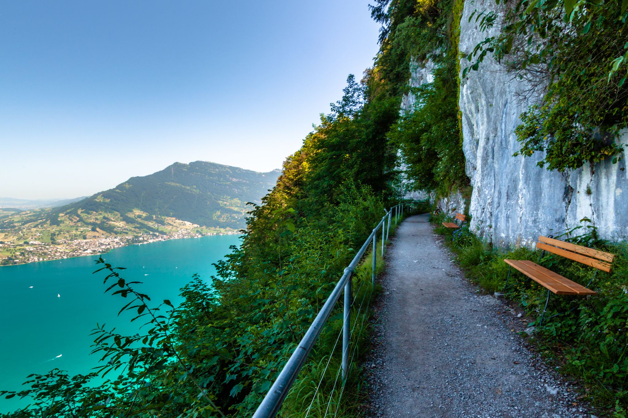
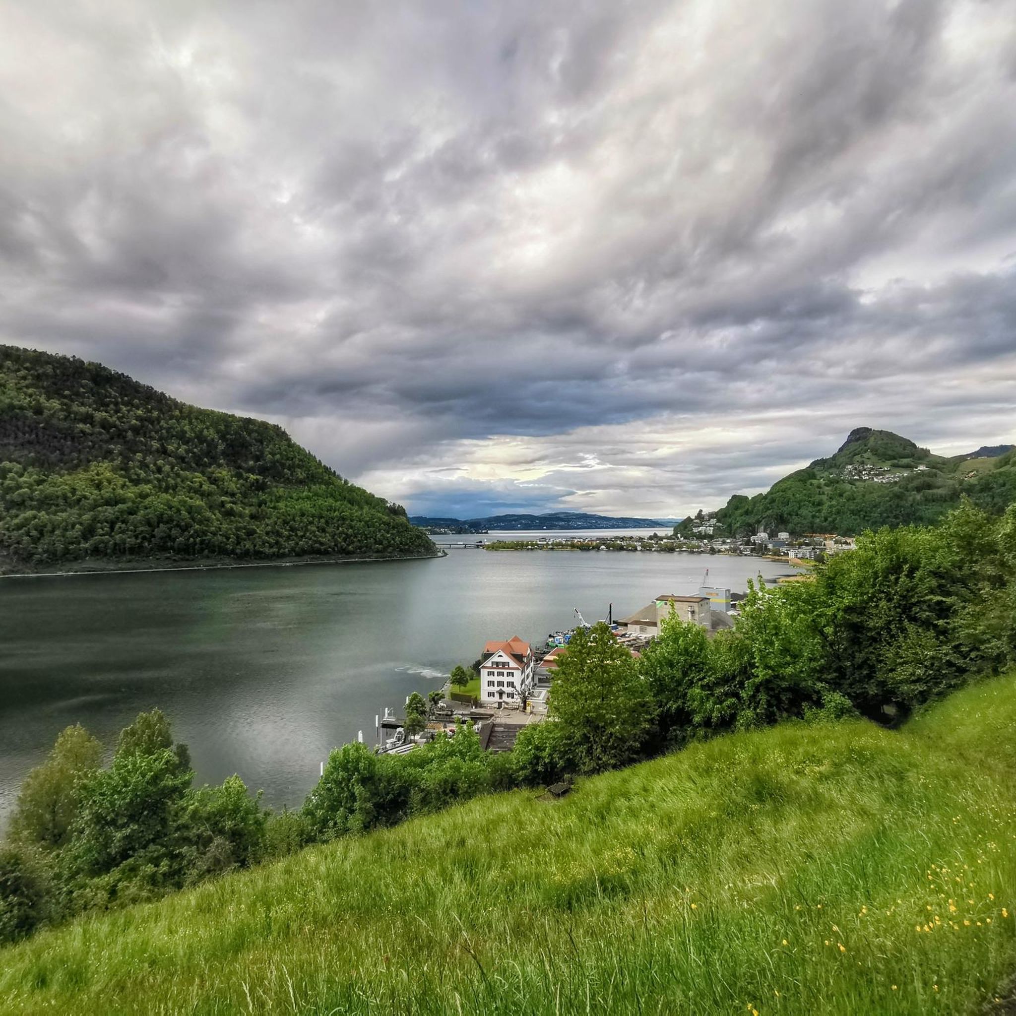
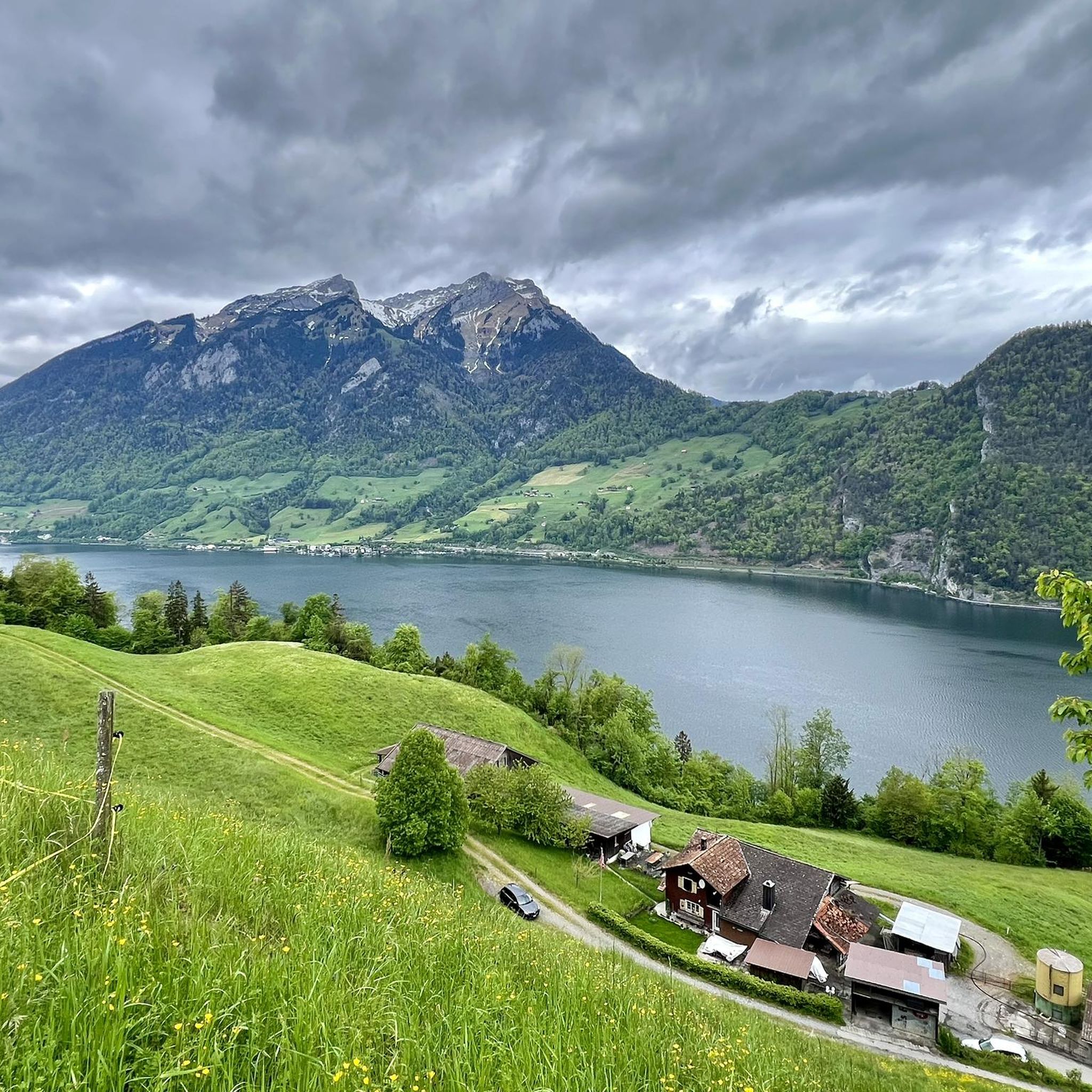
The Renggpass is located at 885 meters above sea level, exactly between the two cantons of Nidwalden and Obwalden. From here you can look down about 450 meters to Lake Lucerne.

翻訳者 Google •

役立つ情報

によるものです

ここでのハイキングを見る

スマートフォンに送信

保存

エッヒャーリ峠

ハイライト • 山道

The Ächerli Pass is a small connecting pass at 1458m between the two half-cantons of Nidwalden and Obwalden and leads from Dallenwil to Sand near Kerns. This pass has historical …

翻訳者 Google •

役立つ情報

によるものです

保存

今すぐサインアップして、こんな場所を発見しよう

最高のシングルトラック、ピーク、その他のエキサイティングなアウトドアスポットのおすすめを受け取ろう。

無料新規登録

トロッケンマットザッテル

ハイライト • 山道

Once the drying mat saddle is reached, it goes down. Either to Stäfalialp or back towards Eigenthal. For the insatiable, there is the Mösere a little further up, which is …

翻訳者 Google •

役立つ情報

によるものです

保存

Storeggpass

ハイライト • 山道

Beautiful pass (1,741 meters) between the cantons of Nidwalden and Obwalden. On one side lies the Melchtal, on the other Engelberg.

翻訳者 Google •

役立つ情報

によるものです

保存

クリネン

ハイライト • 山道

It's located slightly to the left on the ascent and slightly to the right on the descent, without any signage. Keep an eye on the map. Beautiful view of Lake Sarnen.

翻訳者 Google •

役立つ情報

によるものです

保存

無料でサインアップして、さらに多くの山道を発見しましょう エネットモースでの。

無料新規登録

すでにアカウントをお持ちですか?

無料アカウントで今日から始めよう

次の冒険が待っています。

ログインまたは登録

エネットモース周辺で人気

Utterly refreshing – 9 watery hikes in Nidwalden

エネットモースのMTBトレイル

エネットモースでのサイクリング

エネットモースのロードバイクルート

エネットモースでのハイキング

エネットモースのランニングコース

エネットモースでののグラベルライド

エネットモースでの登山&山歩き

エネットモースでのの他の冒険

Utterly refreshing – 9 watery hikes in Nidwalden

ハイキングのコレクション によって

Nidwalden Tourismus

コミュニティからのヒント

Frank - Wanderfotografie
5月 28, 2026, Chrinnen

山の南側、シュタンゼルホルンを横切るように延びています

Google翻訳による翻訳

1

0

Targi
12月 10, 2025, Rengg Pass

The Rengg Pass connects Hergiswil and Alpnachstad and was once an important mule track. Today, a beautiful hiking trail leads through forests and past historical sites, including the remains of a medieval defensive wall. The pass offers tranquil nature, steep sections, and views of Lake Lucerne and Mount Pilatus – ideal for a short, historically rich hike.

Google翻訳による翻訳

7

0

Jan
11月 13, 2025, Chrinnen

It's located slightly to the left on the ascent and slightly to the right on the descent, without any signage. Keep an eye on the map. Beautiful view of Lake Sarnen.

Google翻訳による翻訳

1

0

JR on Tour
8月 5, 2024, Storeggpass

Coming from the ridge path towards Stanserhorn, you turn off here towards Lutersee... Wonderful views in both directions

Google翻訳による翻訳

2

0

Moor area

Google翻訳による翻訳

1

0

Stoni
5月 20, 2024, Trockenmattsattel

Super nice crossing from Eigenthal towards Schwarzenberg or vice versa. You just have to drive it.

Google翻訳による翻訳

2

0

The Renggpass is located at 885 meters above sea level, exactly between the two cantons of Nidwalden and Obwalden. From here you can look down about 450 meters to Lake Lucerne.

Google翻訳による翻訳

4

0

Flo
2月 12, 2024, Rengg Pass

The path/climb from here over the back to the Chrummhorn is steep and spectacular... ;⁠-⁠)

Google翻訳による翻訳

2

0

エネットモースでのの人気ルート

エネットモースのMTBトレイル

エネットモースでのの人気観光スポット

Places to see

Store rating

komootモバイルアプリでインスピレーションを得よう

無料のkomootアカウントがあれば、無限のアウトドアコースを簡単に見つけてカスタマイズし、ナビで案内できます。

または

今すぐkomootに参加しよう

Store rating

さらに探索

これらのガイドでさらに壮大な山道を見てみましょうエネットモースでの:

ヴォルフェンシーエッセンエメッテンベッケンリートブオクスダレンヴィルスタンズエネットビュルゲンヘルギスヴィールヘルギスヴィール(北西)

近くのアドベンチャーガイド

Kernwaldでやるべきこと

background

新しいピークを征服する準備をしよう

無料でサインアップ

探検する
ルートルートプランナー機能バウチャーを利用ハイキングMTBトレイルロードバイクルートバイクパッキングサイトマップ
アプリをダウンロード
SNSでフォローする

© komoot GmbH

プライバシーポリシー