シュルックセの峠・トップ12
風景を楽しんだり、上りや下りを満喫したり、峠には楽しみ方がたくさんあります。シュルックセの素晴らしい峠の一覧を参照して、思い出に残るアドベンチャーに出かけましょう。コミュニティのメンバーがコミュニティのために投稿した峠のハイライトは、他のユーザーが実際におすすめする情報なので、どれも信頼できるものです。気に入った峠にさっそく向かってみましょう。
最終更新日: 8月 30, 2026
グリューブル鞍部(フェルトベルク山塊)
ハイライト • 山道
翻訳者 Google •
役立つ情報 は

リンケン峠の休憩所
ハイライト • 山小屋
翻訳者 Google •
役立つ情報 は

今すぐサインアップして、こんな場所を発見しよう
最高のシングルトラック、ピーク、その他のエキサイティングなアウトドアスポットのおすすめを受け取ろう。
無料新規登録
ヒンターヴァルトコプフ山小屋
ハイライト • 山小屋
詳細については、hinterwaldkopf-huette.deをご覧ください。
翻訳を表示中
役立つ情報 は

Äulemer Höhe(峠道)
ハイライト (セグメント) • 山道
翻訳者 Google •
役立つ情報 は

リンケンサッテルへの連続ヘアピンカーブ
ハイライト (セグメント) • トレイル
翻訳者 Google •
役立つ情報 は

無料でサインアップして、さらに多くの山道を発見しましょう シュルックセでの。
無料新規登録
すでにアカウントをお持ちですか?
無料アカウントで今日から始めよう
次の冒険が待っています。
ログインまたは登録
シュルックセ周辺で人気
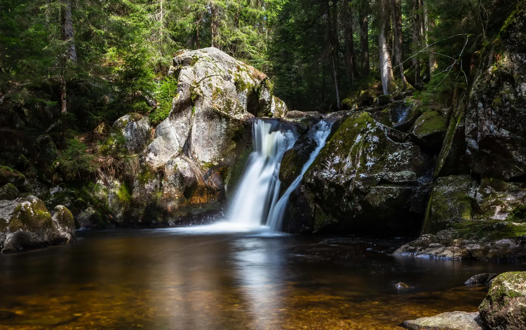
Hiking, ponds & waterfalls – superb Black Forest swimming spots
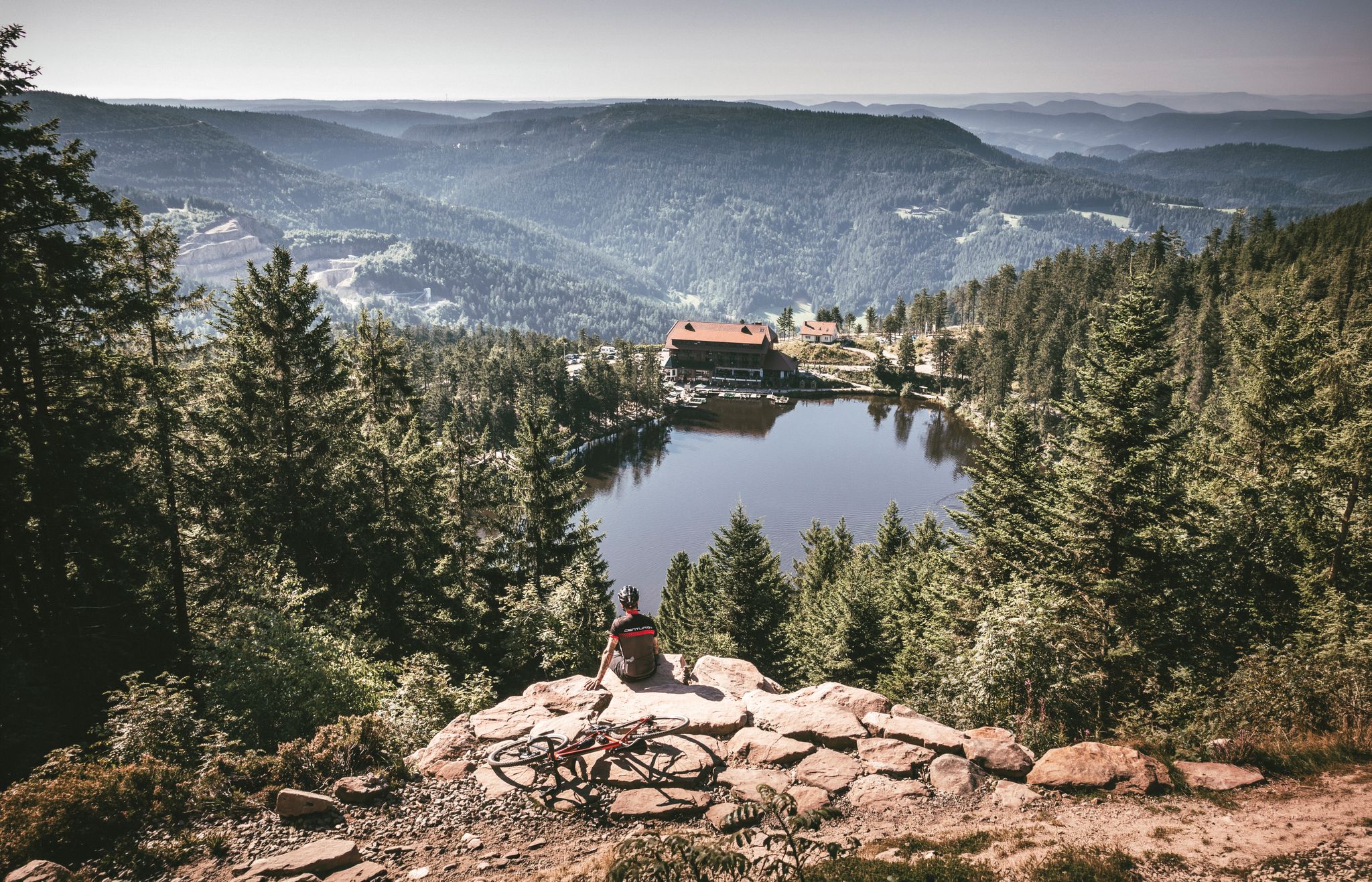
Your Gravel Summer – refreshing rides in the Black Forest
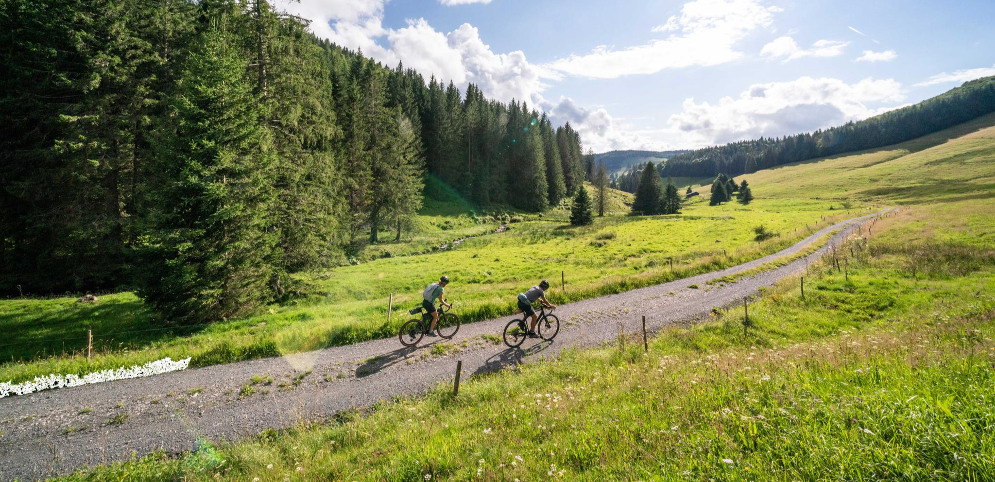
Your slice of gravel happiness – gravel in the Black Forest
シュルクセーからヴェールまでのシュルクテンシュタイク・ヴェスト
By the water – along the rivers and lakes of the Black Forest
グルアンドの黑水の出生合が要ています。
Sustainable travel – hikes that you can enjoy without a car
Sunny rides up to heights in the Black Forest
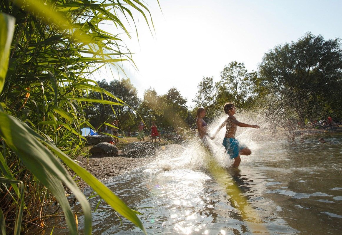
Refreshing summer hikes in Baden Wuerttemberg – bathing fun for the whole family
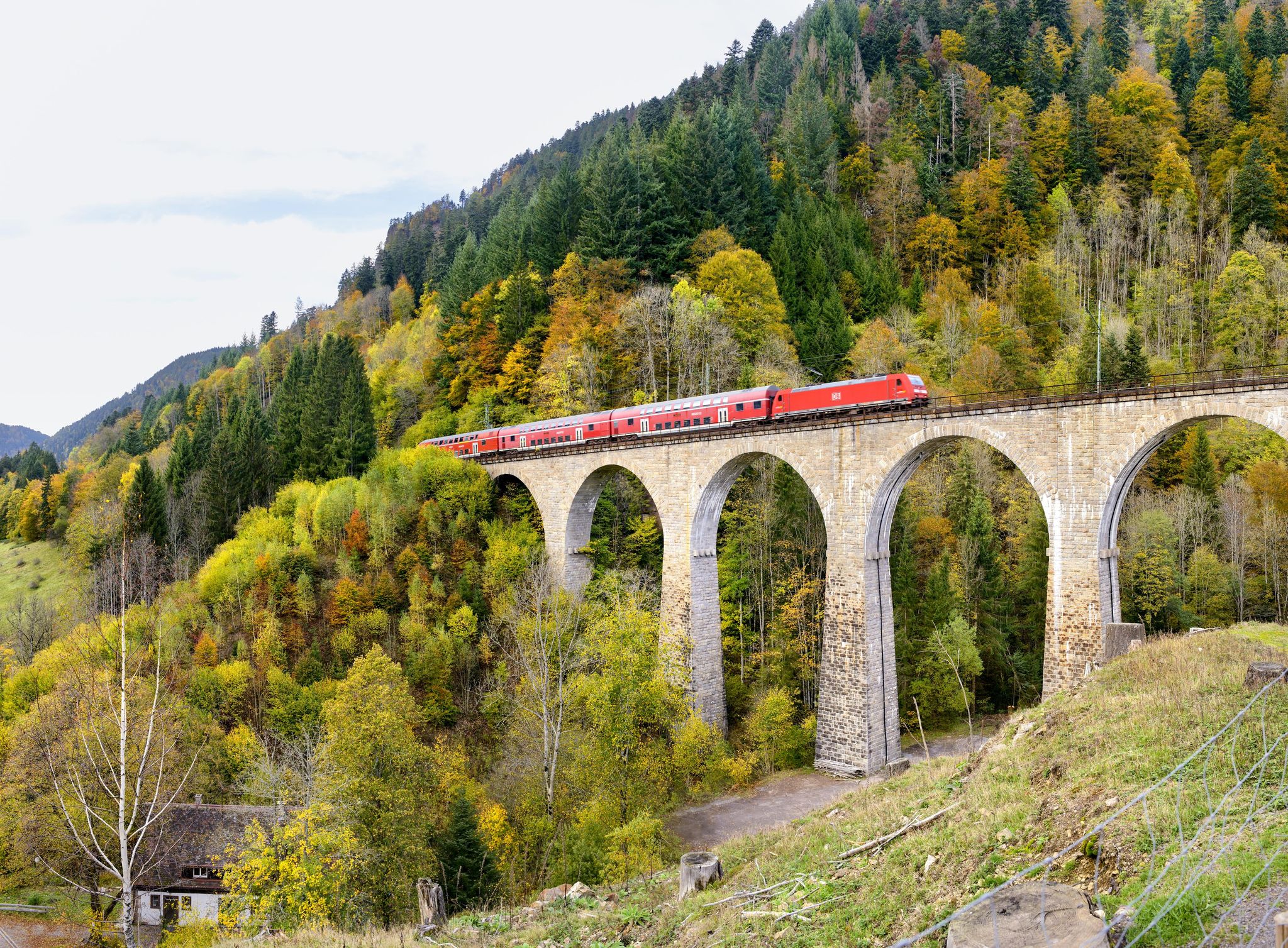
Into the countryside by bus and train – hiking in Germany’s large protected areas


コミュニティからのヒント

We cycled the entire Hochschwarzwald panoramic cycle path and rode this section from Titisee up and then down to Freiburg. We can therefore confirm that it is always uphill to the Rinkensattel rest area and then downhill from the top towards Freiburg. It was a great and fast descent. Tip: The brakes must be in perfect condition, otherwise change the brake pads for new ones beforehand.
0
0

Very steep climb but worth it.
2
0

the upper part is gravel. Which weak mats???? Otherwise the descent is great. The ascent is probably very, very exhausting.
3
4
The Rinken at 1196 m altitude or the pass of the same name is located at the northern foot of the Feldberg. The ascent from Oberried (on the Notschrei north ramp) through the deep Zastlertal is certainly one of the toughest climbs that the Black Forest has to offer for racing bikes. In the upper area the road is not asphalted for a few hundred meters - but the forest path is easy to ride on a racing bike.
4
0

Pleasant climb of about 5km with some hairpin bends. A bit steeper towards the end. As a descent you can easily go to +80 km/h on the last straight
2
1

The Black Forest is (when the weather is dry) always worth a bike trip. The climbs are moderate and easy to manage even without motor support.
2
0

Our weather quickly turned to rain. Always be prepared for rain!
5
0

There is the possibility to get to the highest point of the Feldberg via the gravel path or a tar path.
4
0

komootモバイルアプリでインスピレーションを得よう


さらに探索
これらのガイドでさらに壮大な山道を見てみましょうシュルックセでの:
