シュルックセの湖・トップ20
次の冒険でシュルックセの素晴らしい湖を訪れてみませんか?湖畔の穏やかな雰囲気や、天気が良い日のひと泳ぎは格別です。komootコミュニティがおすすめするシュルックセの素晴らしい湖の一覧を参考にして、次の冒険では湖をもっと満喫しましょう。
最終更新日: 10月 23, 2026
フェルトゼー湖
ハイライト • 湖
翻訳者 Google •
役立つ情報 は

カール・エゴン通り
ハイライト (セグメント) • トレイル
翻訳者 Google •
役立つ情報 は

今すぐサインアップして、こんな場所を発見しよう
最高のシングルトラック、ピーク、その他のエキサイティングなアウトドアスポットのおすすめを受け取ろう。
シュルッフゼー東岸
ハイライト • 湖
翻訳者 Google •
役立つ情報 は

ティティシー海岸
ハイライト • 展望台
翻訳者 Google •
役立つ情報 は

ティティーゼー周回コース
ハイライト • トレイル
翻訳者 Google •
役立つ情報 は

無料でサインアップして、さらに多くの湖を発見しましょう シュルックセでの。
すでにアカウントをお持ちですか?
無料アカウントで今日から始めよう
次の冒険が待っています。
シュルックセ周辺で人気
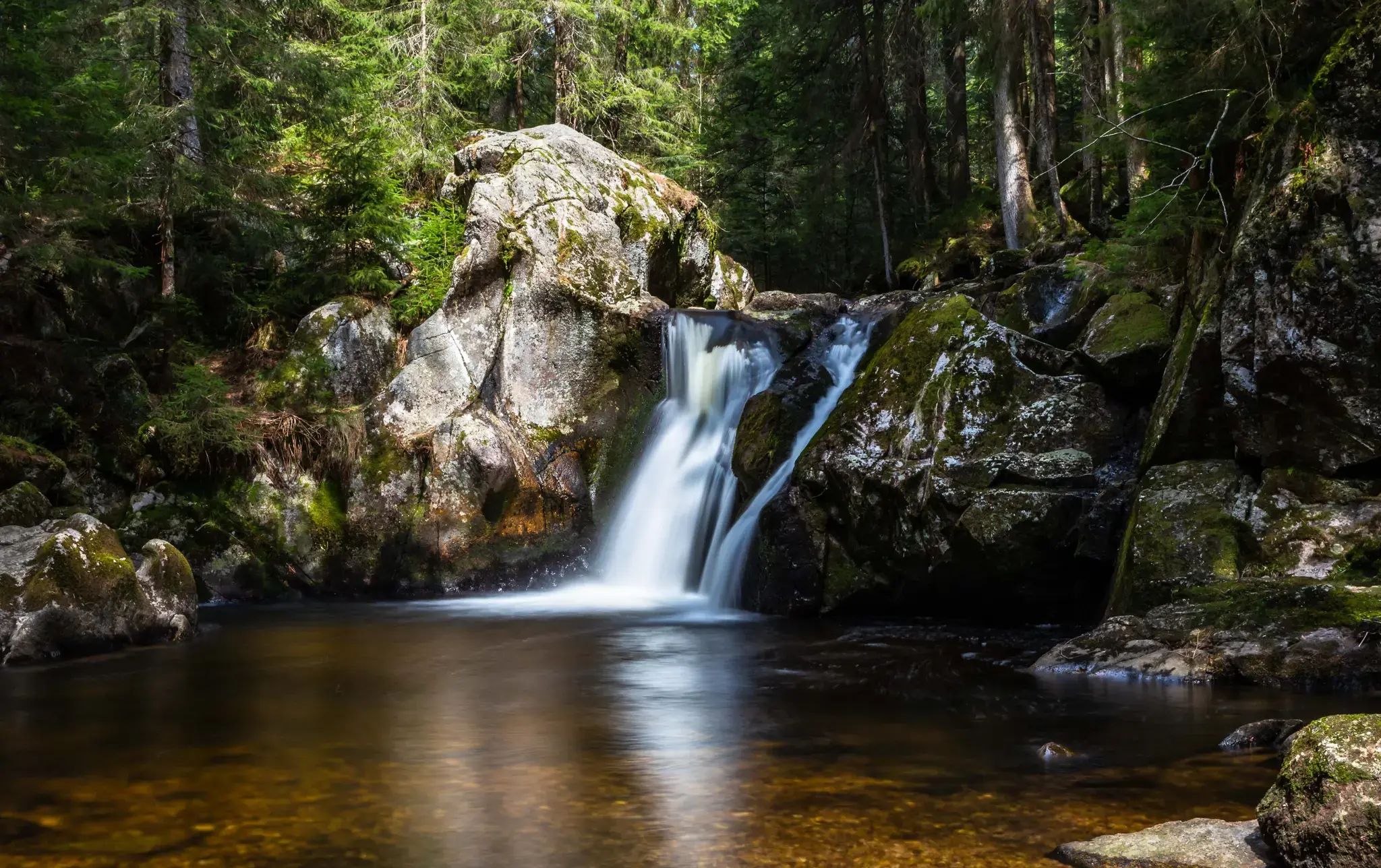
Hiking, ponds & waterfalls – superb Black Forest swimming spots
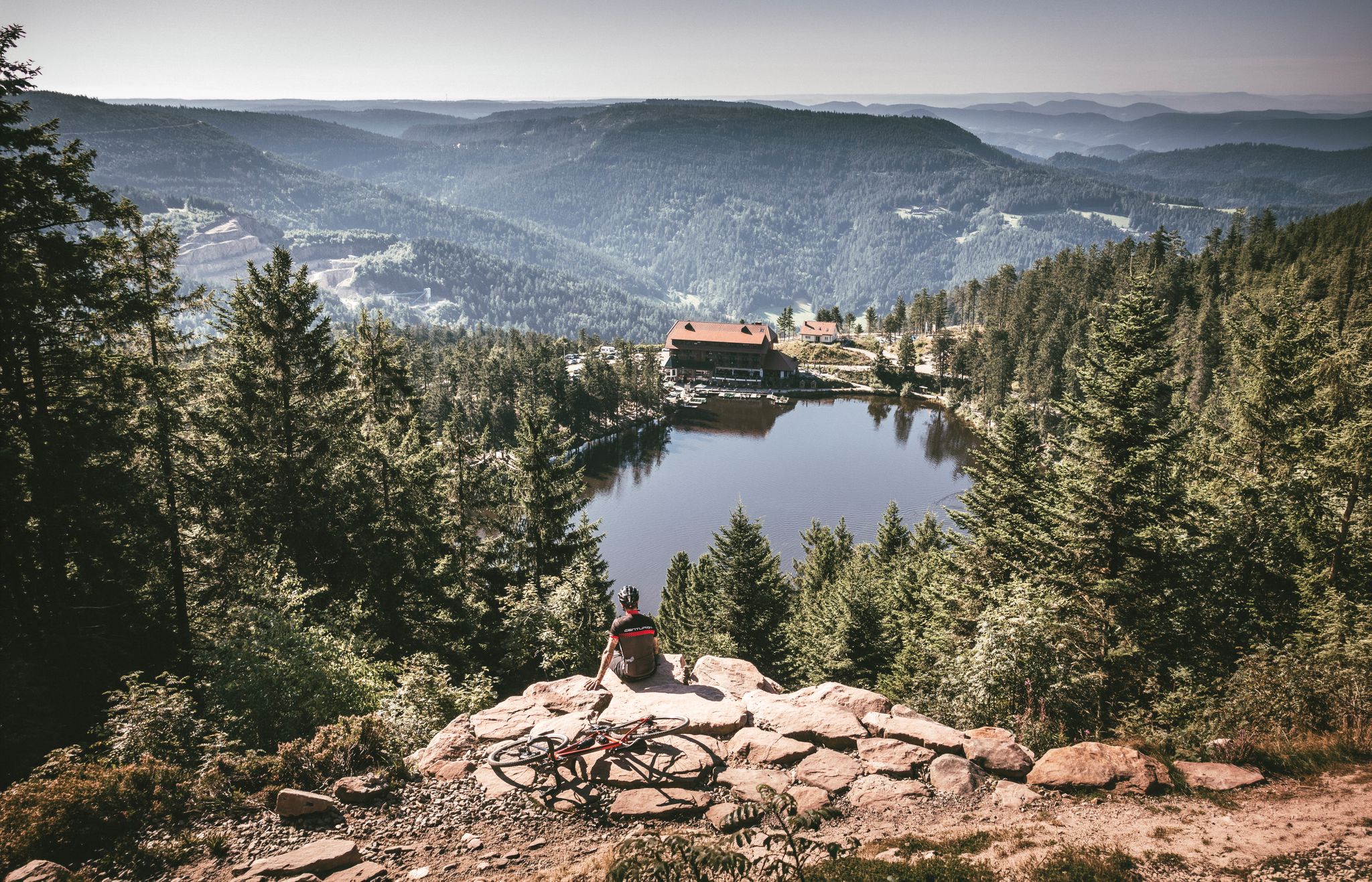
Your Gravel Summer – refreshing rides in the Black Forest
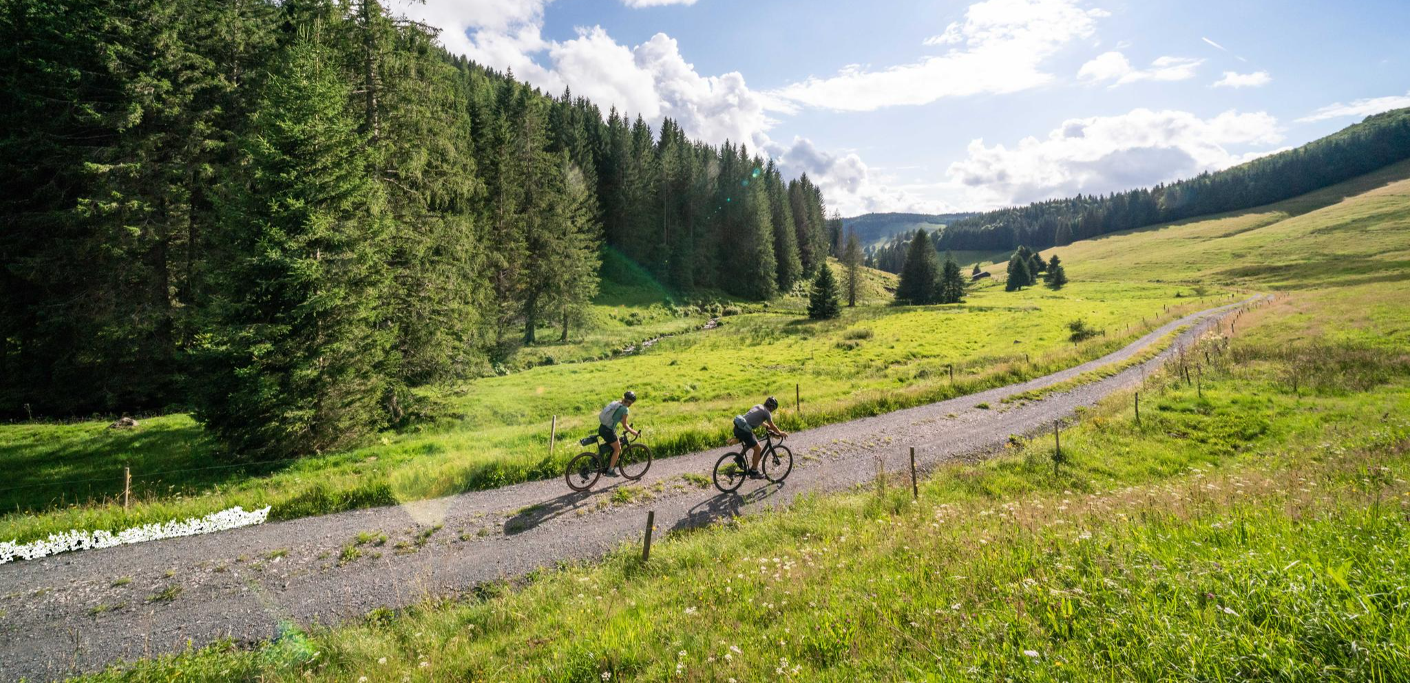
Your slice of gravel happiness – gravel in the Black Forest
シュルクセーからヴェールまでのシュルクテンシュタイク・ヴェスト
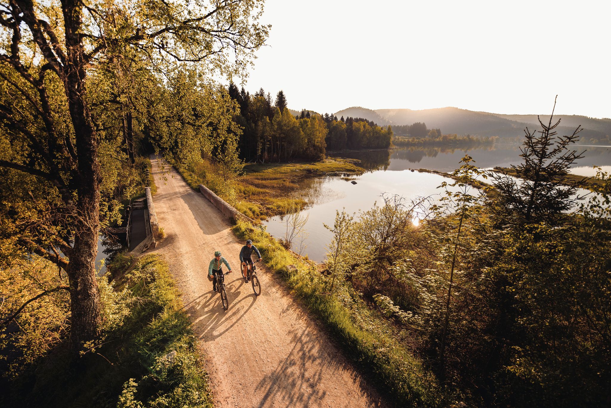
By the water – along the rivers and lakes of the Black Forest
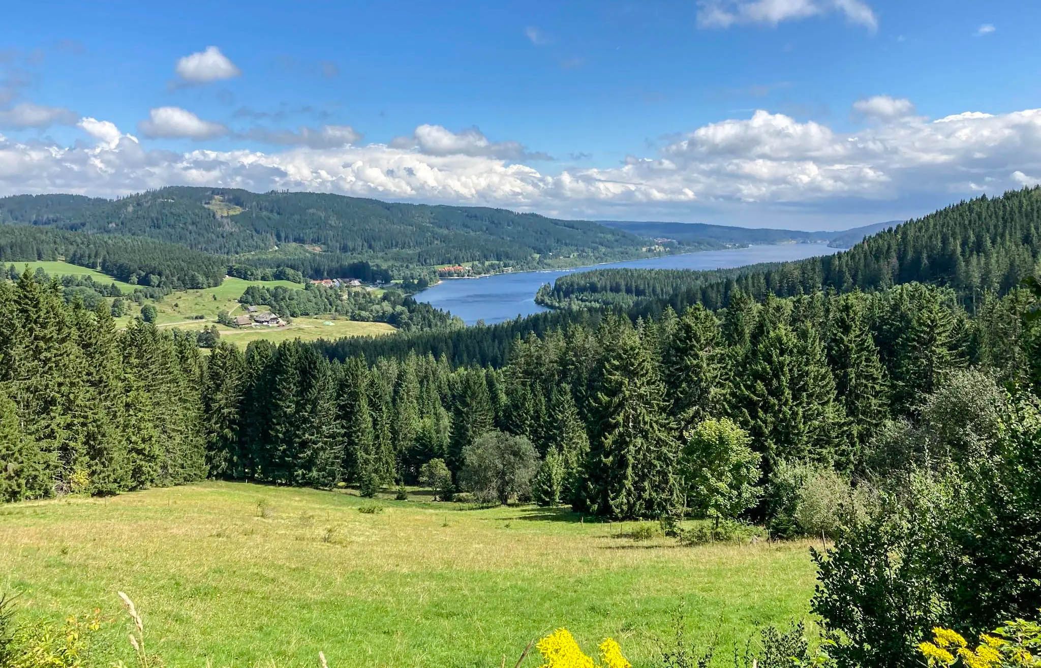
グルアンドの黑水の出生合が要ています。
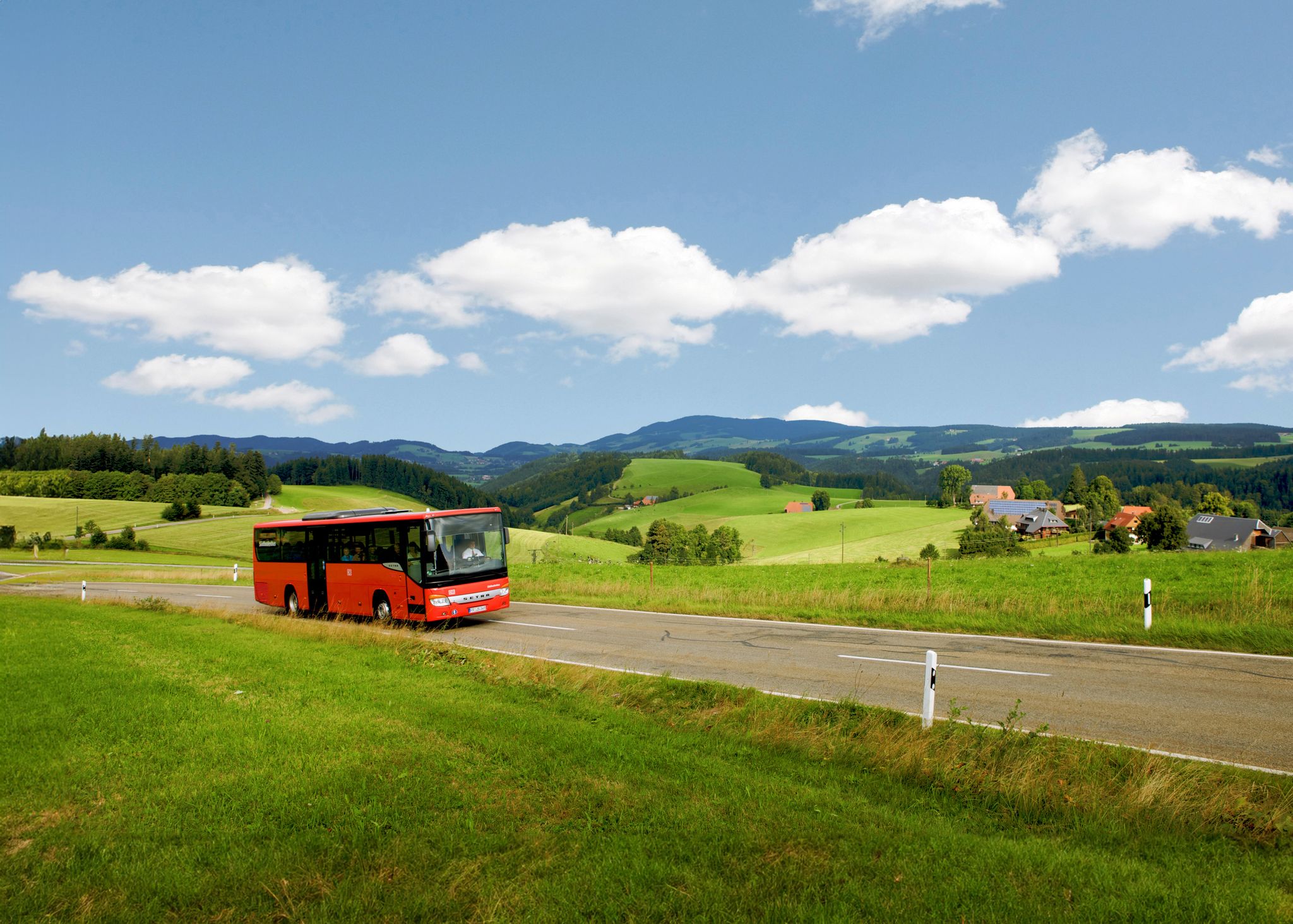
Car-free hiking adventures – the Black Forest without a car
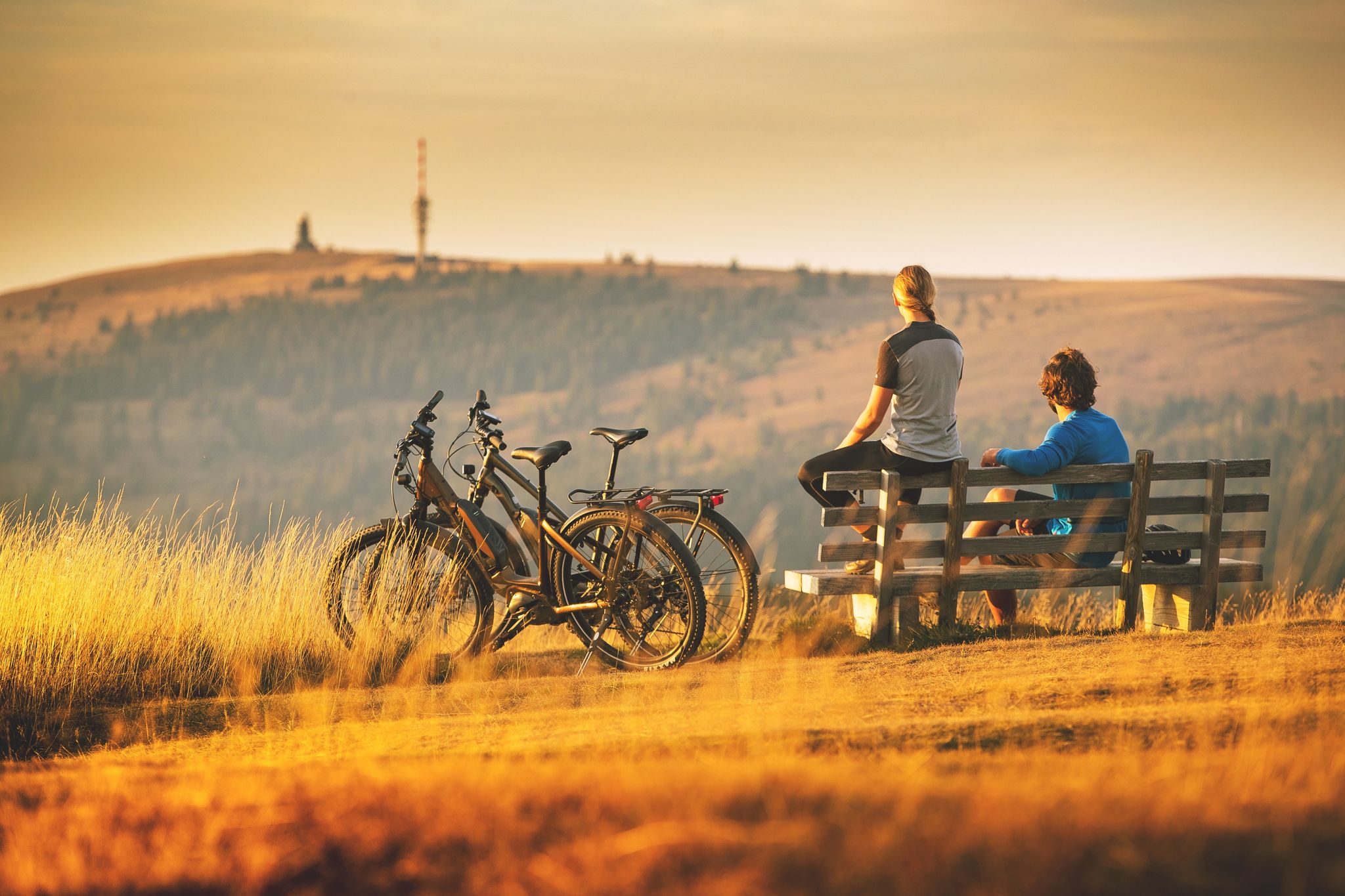
Sunny rides up to heights in the Black Forest
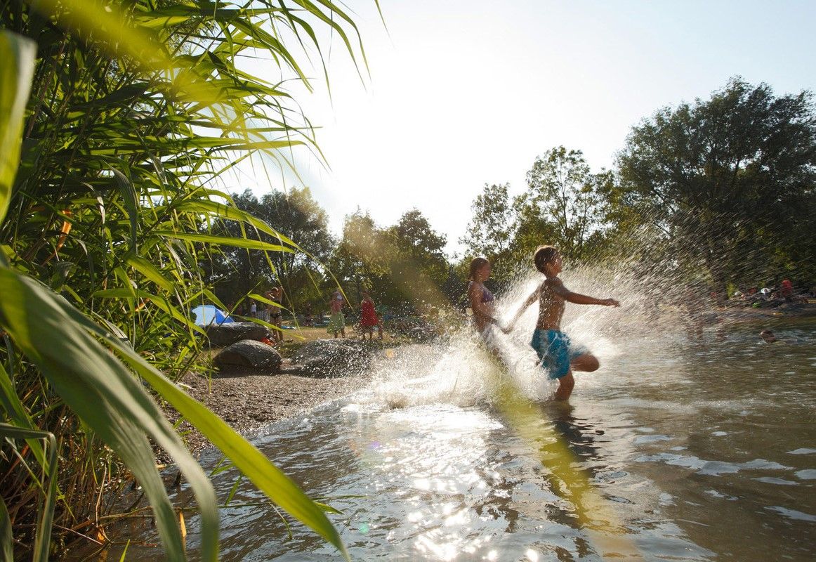
Refreshing summer hikes in Baden Wuerttemberg – bathing fun for the whole family
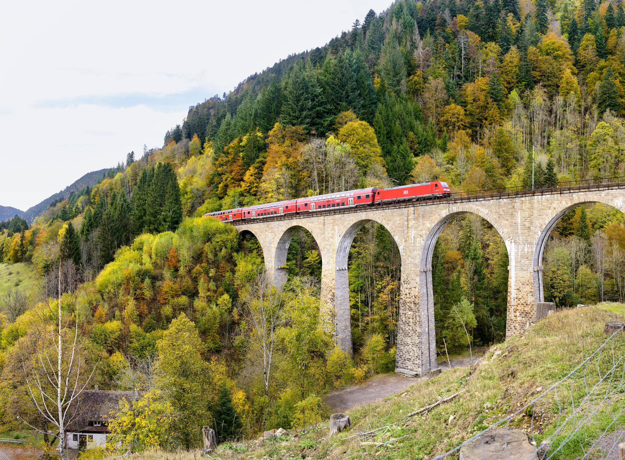
Into the countryside by bus and train – hiking in Germany’s large protected areas


コミュニティからのヒント


There is a beautiful view of the lake from the shore.
9
0

An ascent and descent reminiscent of Alpine trails, all this in a low mountain range. In wet seasons, surefootedness is required (risk of slipping). Absolutely worth the hike in autumn, as it creates a wonderfully mystical (due to the fog) atmosphere with magnificent autumn colors.
5
0

At dusk the lake has a different color, just beautiful there.
12
0

The high-altitude climate trail is very beautiful, but you can only see the lake a little at the beginning and then again the last level section, along the east bank back to the village. The Titisee was created by the Feldberg Glacier, whose moraines formed in the Pleistocene form its banks today. It is fed by the Seebach and the outflow is the Gutach, which later becomes the Wutach. On the northern shore is the spa town of the same name. There are at least four different theories about the origin of the name, I like the one with the Roman general Titus the best. The Titisee is 2 km long, 700 m wide, covers an area of 1.07 km² and has an average depth of 20 m.
12
0

You can also hike the circular trail above the road in the forest.
15
1
The circular route around Lake Titisee initially also runs in the higher forest, at the campsite and then directly on the shore. Very nice circular hike!
22
0

The circular route is approx. 6.5 km long!
11
0

komootモバイルアプリでインスピレーションを得よう


さらに探索
まだ完璧な湖が見つかりませんかシュルックセでの?これらの地域のガイドをチェックして、さらに美しい場所を見てみましょう。
