ヒンターツァルテンの峠・トップ17
周辺の最高の峠には、山岳地帯を横断する高台にある自然の小道や歴史的な谷が含まれます。黒い森に位置するこの地域は、深く刻まれた自然のルートと伝統的な峠道が特徴です。これらのエリアは、挑戦的な登りから景色の良い展望台まで、多様な体験を提供します。ヒンターツァーテンは、アウトドア愛好家のために自然の美しさと歴史的重要性とのブレンドを提供します。
ヒンターツァーテン周辺の最高の峠
- 最も人気のある峠はアウレマーヘーエ峠道で、シュルッフゼーに向かって高く登る美しい峠道です。平坦な地形と景色の良い曲がりくねった道が特徴です。
- もう一つの必見スポットは、山小屋と峠であるリンケン峠の休憩所です。標高1196メートルのこの場所は、フェルトベルクの北の麓にあり、美しい景色を望む静かな道を提供しています。
- 訪問者はまた、峠であり自然記念物でもあるグリューブレ峠(フェルトベルク山塊)も気に入っています。ここからは、テレビ塔、フリードリヒ・ルイーゼ塔、ゼーブックのビスマルク記念碑の広大な景色が楽しめます。
- ヒンターツァーテンは、高台にある自然の小道、歴史的な谷、伝統的な峠道で知られています。これらのルートは、挑戦的な登りから景色の良い展望台まで、多様な体験を提供します。
- ヒンターツァーテン周辺の峠は、850件以上の「いいね」と110枚以上の写真が共有されており、komootコミュニティに高く評価されています。
最終更新日: 8月 20, 2026
グリューブル鞍部(フェルトベルク山塊)
ハイライト • 山道
翻訳者 Google •
役立つ情報 は

リンケン峠の休憩所
ハイライト • 山小屋
翻訳者 Google •
役立つ情報 は

今すぐサインアップして、こんな場所を発見しよう
最高のシングルトラック、ピーク、その他のエキサイティングなアウトドアスポットのおすすめを受け取ろう。
無料新規登録
ヒンターヴァルトコプフ山小屋
ハイライト • 山小屋
翻訳者 Google •
役立つ情報 は

Äulemer Höhe(峠道)
ハイライト (セグメント) • 山道
翻訳者 Google •
役立つ情報 は

リンケンサッテルへの連続ヘアピンカーブ
ハイライト (セグメント) • トレイル
翻訳者 Google •
役立つ情報 は

無料でサインアップして、さらに多くの山道を発見しましょう ヒンターツァルテンでの。
無料新規登録
すでにアカウントをお持ちですか?
無料アカウントで今日から始めよう
次の冒険が待っています。
ログインまたは登録
ヒンターツァルテン周辺で人気
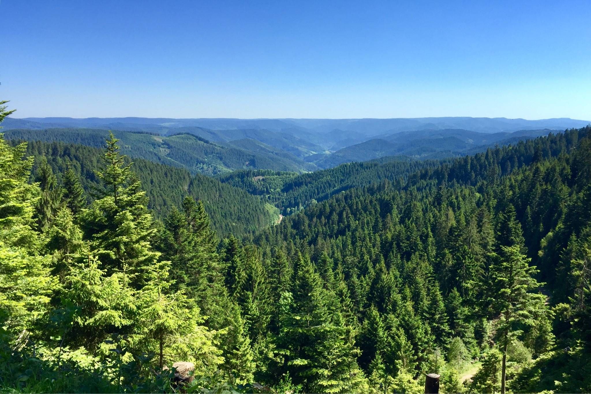
深い森と明るい高地 - ブラックフォレストを通る7ステージ
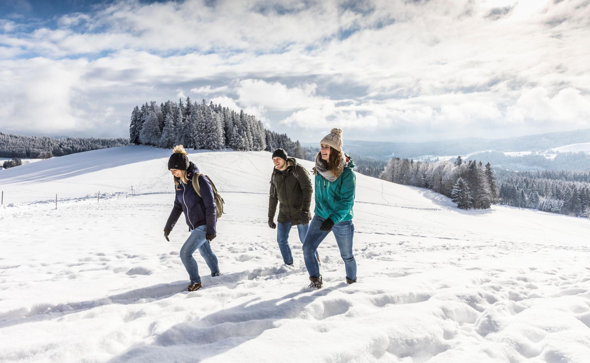
Black Forest Highlands – Winter Hiking with Snow, Silence and Vast Views
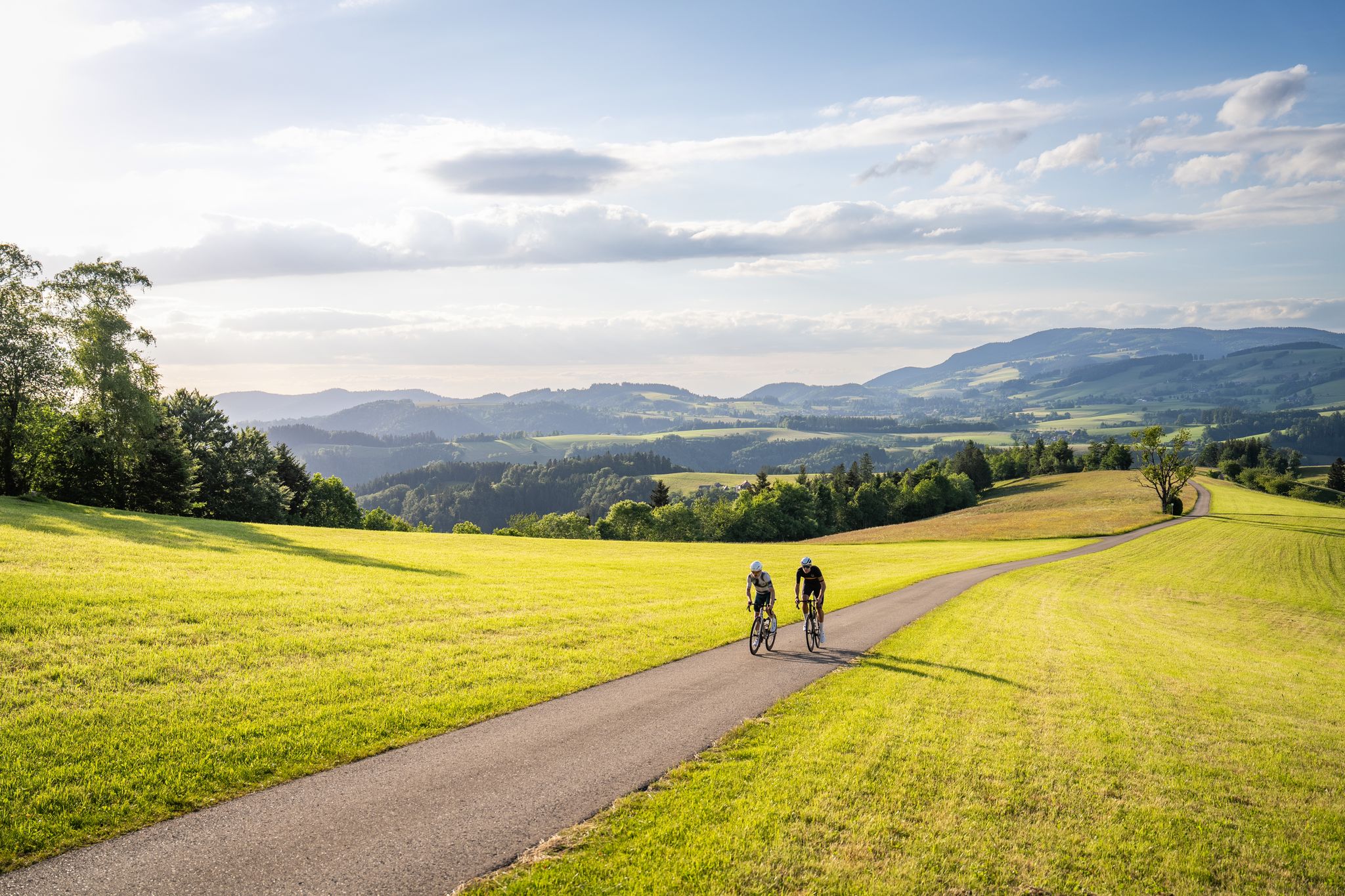
Asphalt poetry – road cycling in the High Black Forest
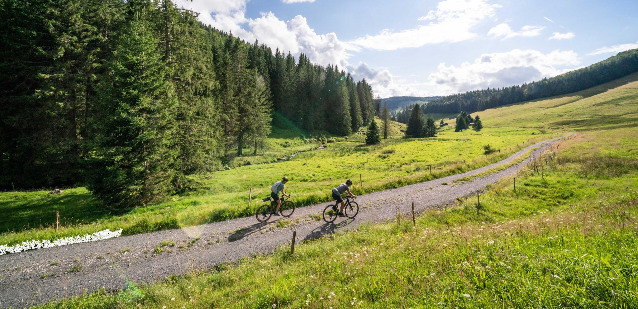
Your slice of gravel happiness – gravel in the Black Forest
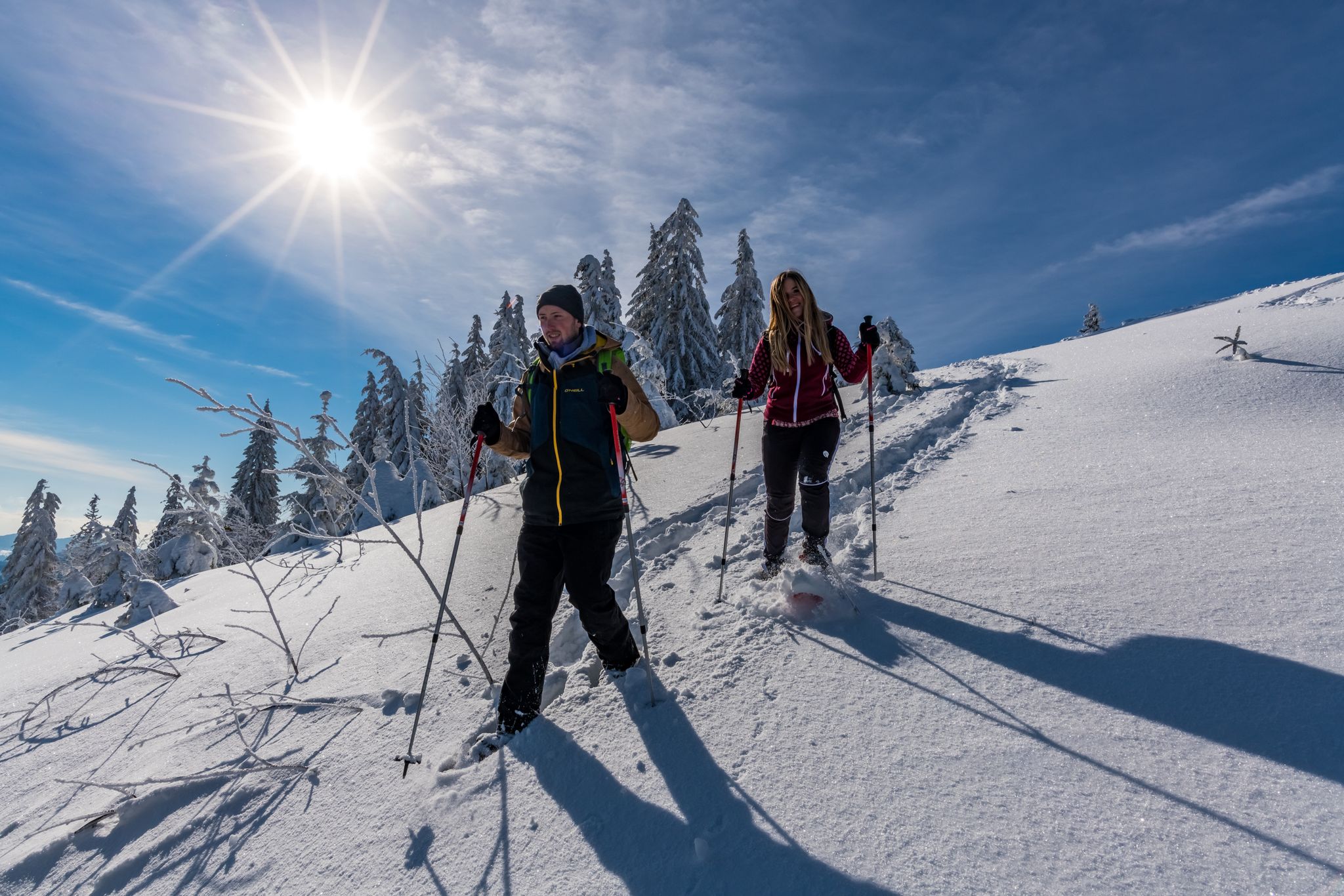
The Forest in its white dress – snowshoe Tours in the Black Forest
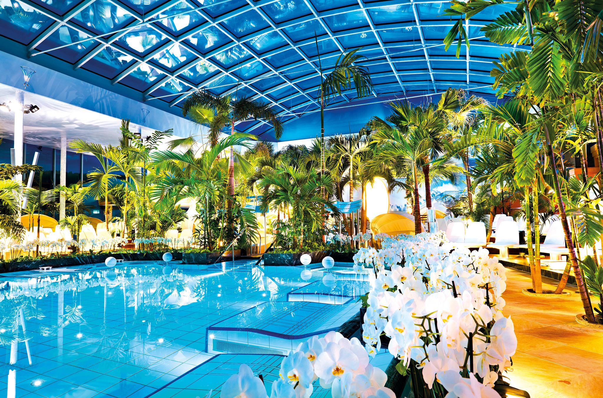
Hiking, wellness and relaxation around Titisee in the Black Forest
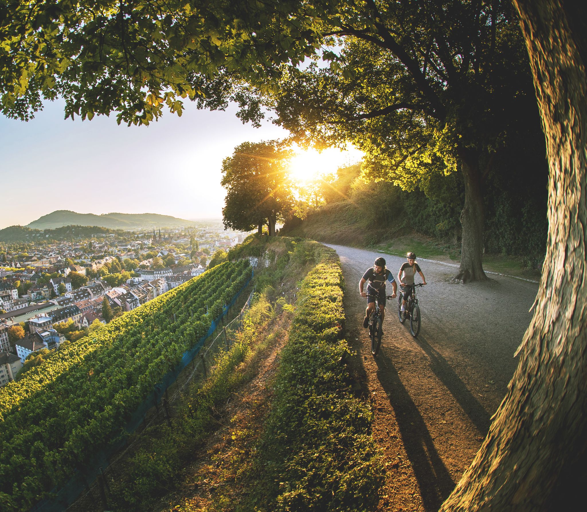
Just get out – long-distance cycle routes in the Black Forest
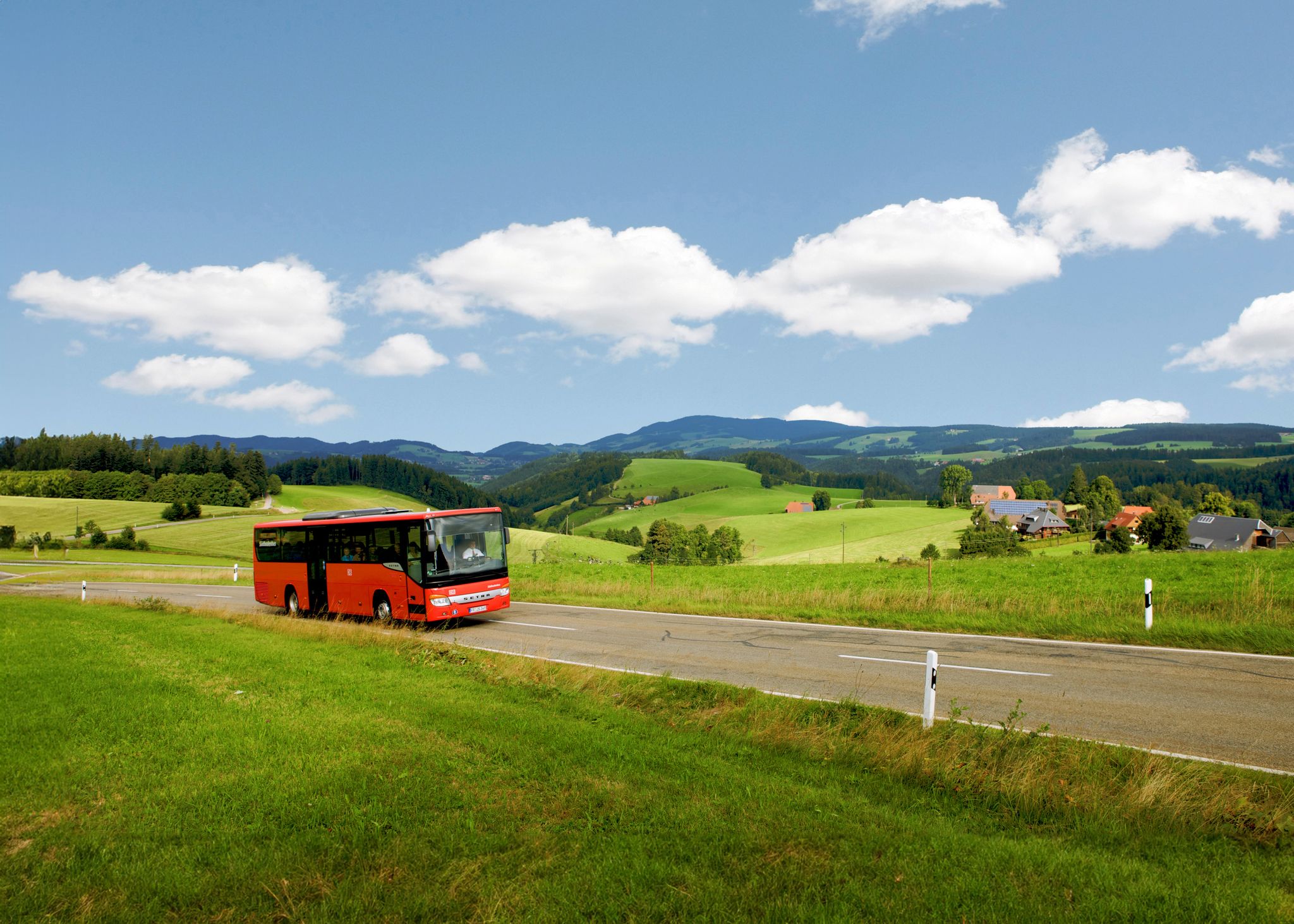
Sustainable travel – hikes that you can enjoy without a car
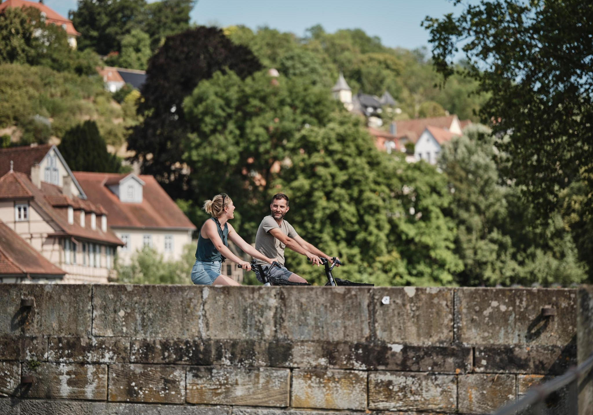
Culinary delights, culture, landscape – long-distance cycling in Baden-Württemberg
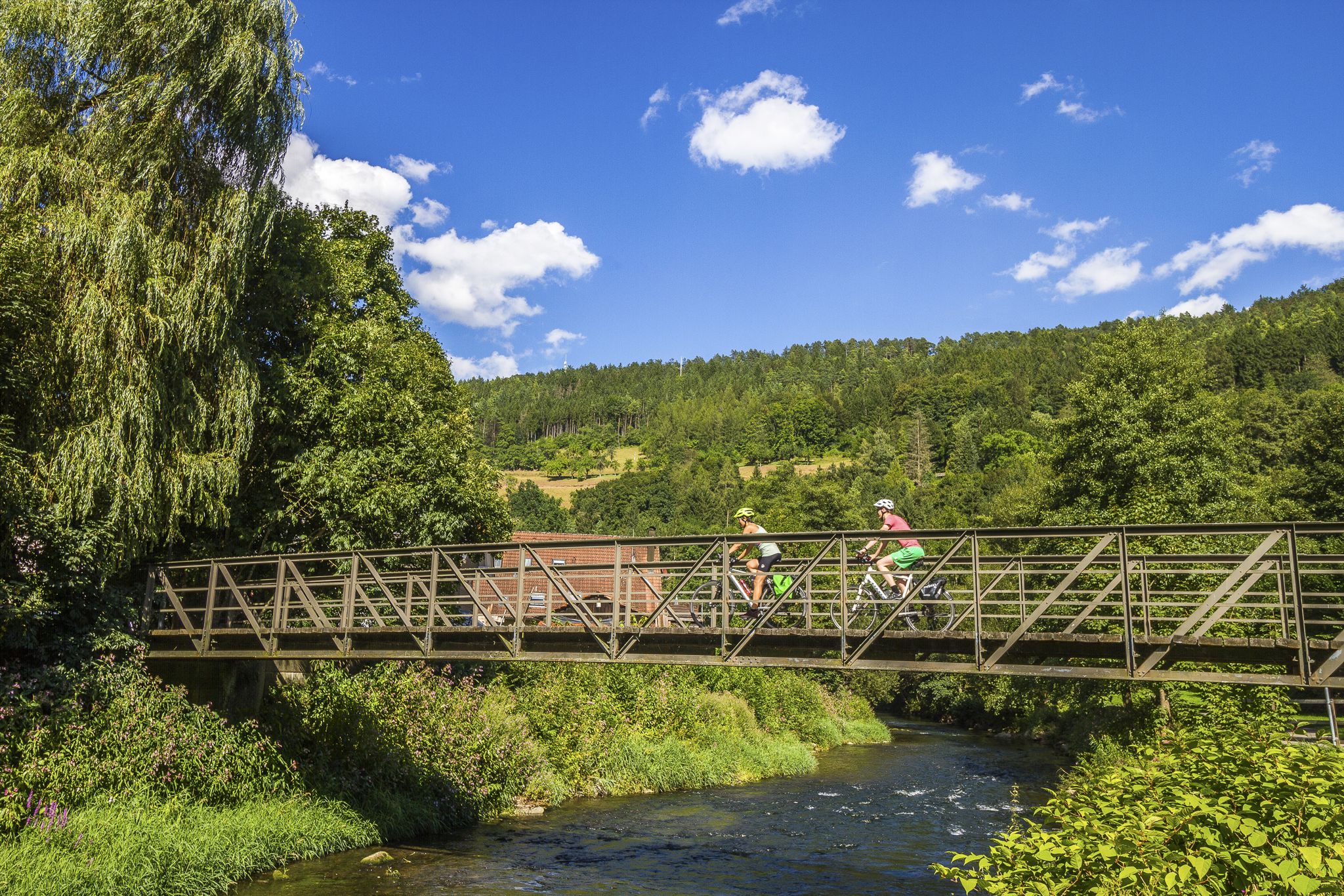
Biking the Black Forest: Our Favorite Long-Distance Rides


コミュニティからのヒント

We cycled the entire Hochschwarzwald panoramic cycle path and rode this section from Titisee up and then down to Freiburg. We can therefore confirm that it is always uphill to the Rinkensattel rest area and then downhill from the top towards Freiburg. It was a great and fast descent. Tip: The brakes must be in perfect condition, otherwise change the brake pads for new ones beforehand.
0
0

Very steep climb but worth it.
2
0

the upper part is gravel. Which weak mats???? Otherwise the descent is great. The ascent is probably very, very exhausting.
3
4
The Rinken at 1196 m altitude or the pass of the same name is located at the northern foot of the Feldberg. The ascent from Oberried (on the Notschrei north ramp) through the deep Zastlertal is certainly one of the toughest climbs that the Black Forest has to offer for racing bikes. In the upper area the road is not asphalted for a few hundred meters - but the forest path is easy to ride on a racing bike.
4
0

Pleasant climb of about 5km with some hairpin bends. A bit steeper towards the end. As a descent you can easily go to +80 km/h on the last straight
2
1

The Black Forest is (when the weather is dry) always worth a bike trip. The climbs are moderate and easy to manage even without motor support.
2
0

Our weather quickly turned to rain. Always be prepared for rain!
5
0

There is the possibility to get to the highest point of the Feldberg via the gravel path or a tar path.
4
0
ヒンターツァルテンでのの人気ルート

komootモバイルアプリでインスピレーションを得よう


さらに探索
これらのガイドでさらに壮大な山道を見てみましょうヒンターツァルテンでの:
