カンガス・デ・ナルセアの峠・トップ15
風景を楽しんだり、上りや下りを満喫したり、峠には楽しみ方がたくさんあります。カンガス・デ・ナルセアの素晴らしい峠の一覧を参照して、思い出に残るアドベンチャーに出かけましょう。コミュニティのメンバーがコミュニティのために投稿した峠のハイライトは、他のユーザーが実際におすすめする情報なので、どれも信頼できるものです。気に入った峠にさっそく向かってみましょう。
最終更新日: 8月 30, 2026
Alto de La Marta
ハイライト • 山道
翻訳者 Google •
役立つ情報 は

プエルト・デル・パロ
ハイライト • 山道
翻訳者 Google •
役立つ情報 は
今すぐサインアップして、こんな場所を発見しよう
最高のシングルトラック、ピーク、その他のエキサイティングなアウトドアスポットのおすすめを受け取ろう。
無料新規登録
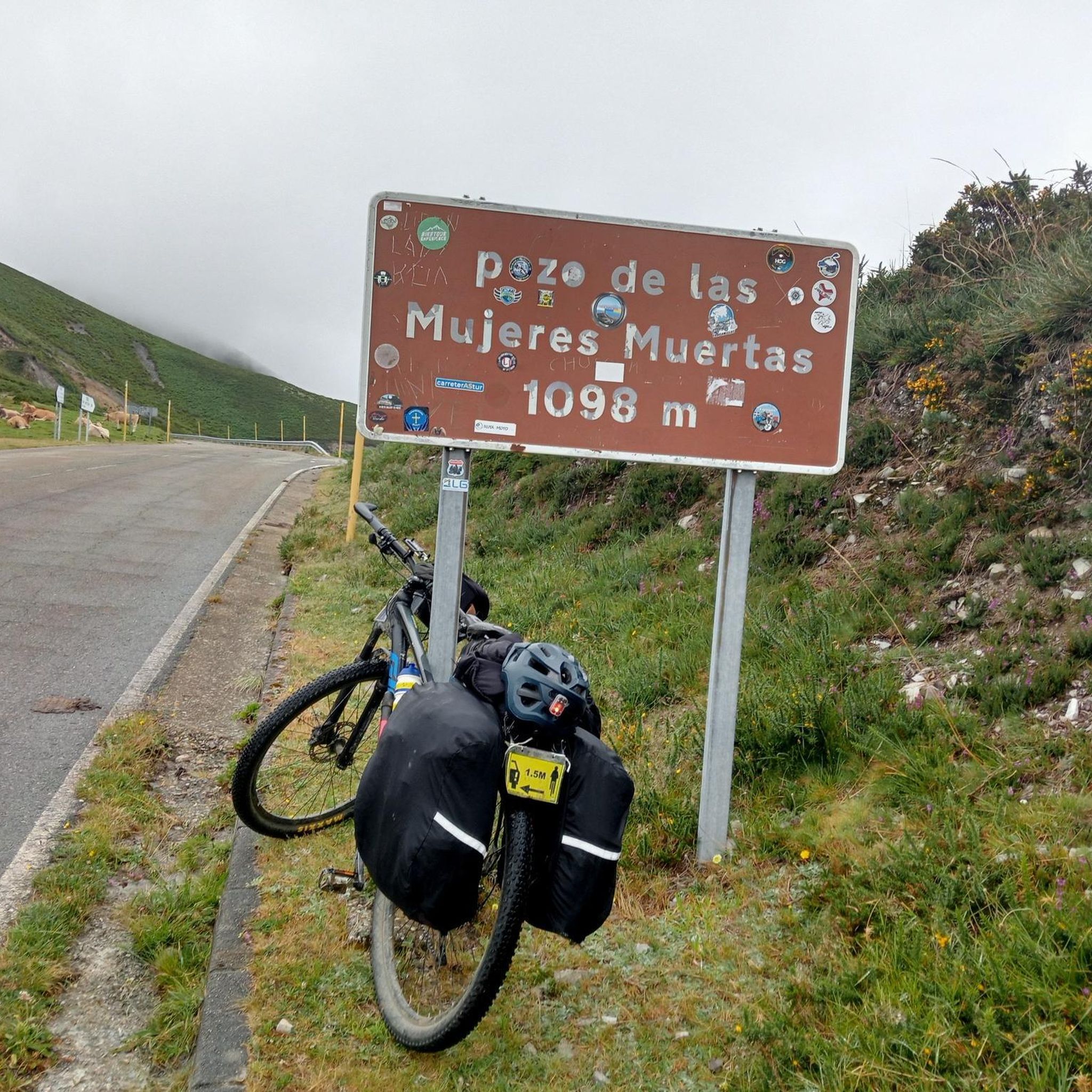
ポソ・デ・ラス・ムヘレス・ムエルタス峠
ハイライト • 山道
翻訳者 Google •
役立つ情報 は

コニオ峠
ハイライト • 山道
翻訳者 Google •
役立つ情報 は
プエルト・デ・レイタリエゴス
ハイライト • 山道
役立つ情報 は

ビジャヨン経由でアルト・デ・ラ・マルタへの登り
ハイライト (セグメント) • 山道
翻訳者 Google •
役立つ情報 は

アルト・デ・ラバドイラ
ハイライト • 山道
翻訳者 Google •
役立つ情報 は

レイタリエゴス峠(北側)
ハイライト (セグメント) • 山道
It is a very long pass that goes up the entire Naviego valley until reaching the …
翻訳者 Google •
役立つ情報 は

アルト・デ・ラ・カサ・デル・プエルト
ハイライト • 山道
翻訳者 Google •
役立つ情報 は

アルト・デ・サンタ・アナ
ハイライト • 山道
翻訳者 Google •
役立つ情報 は
無料でサインアップして、さらに多くの山道を発見しましょう カンガス・デ・ナルセアでの。
無料新規登録
すでにアカウントをお持ちですか?
無料アカウントで今日から始めよう
次の冒険が待っています。
ログインまたは登録

カンガス・デ・ナルセアでのの他の冒険


コミュニティからのヒント


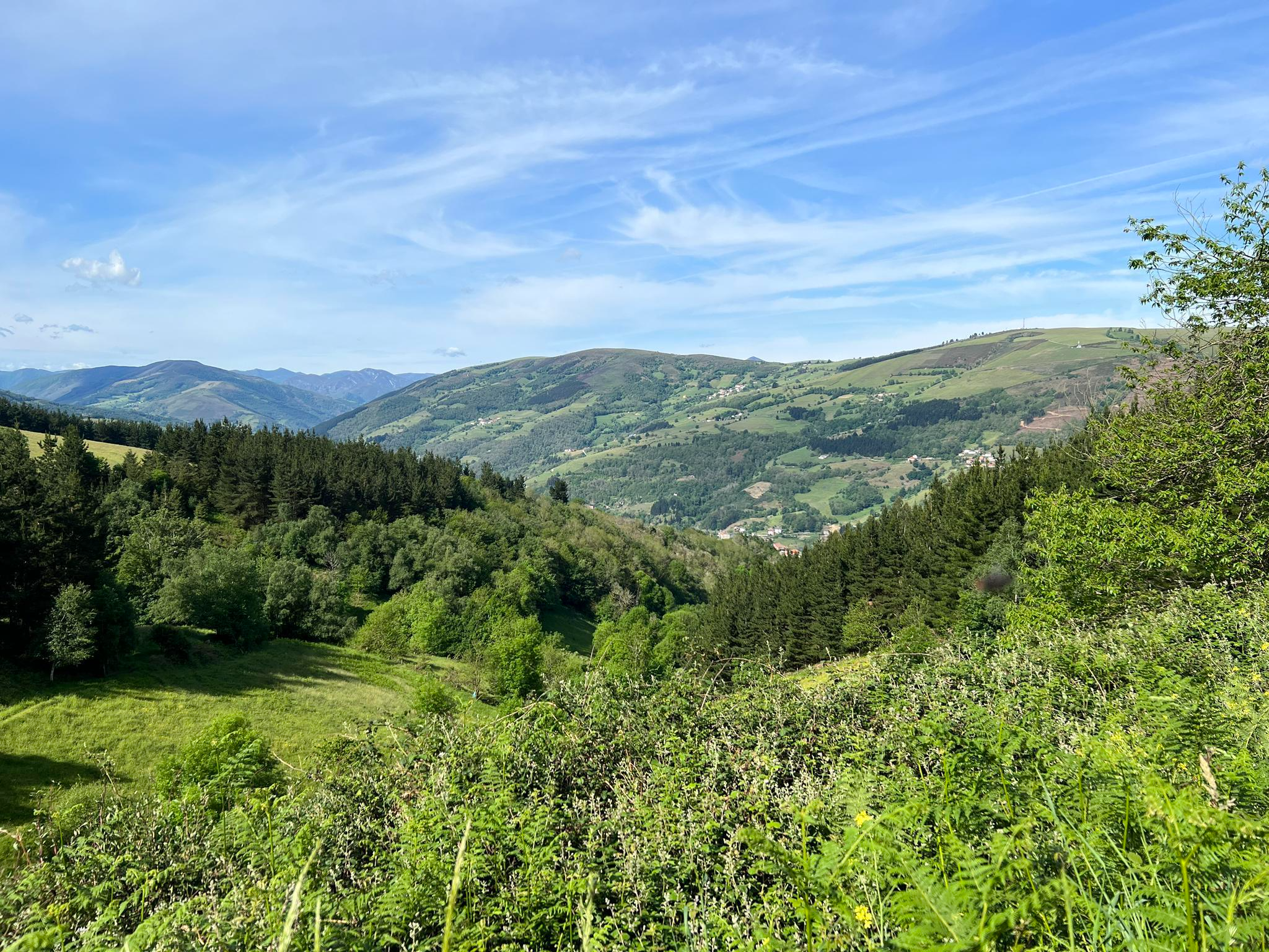
The Alto de la Casa del Puerto via Tineo is one of those passes you conquer without raising your voice. From the first ramps, the road winds over the high meadows of the Sierra de Tineo. The slope that begins in Tineo is compact and honest: about 5 km of ascent with 349 m of vertical gradient, an average gradient of 7%, and the crest at 1,025 m above sea level. Like all passes, it's demanding if you push, but gentle if you pace yourself. To reach the top is to reach a natural balcony. Next to the peak is the Casa del Puerto recreational area, a clearing in the pine forest with tables and a fountain: an ideal place to shelter, stretch, and gaze out. From here, you can see a large part of the municipality of Tineo; On clear days, the Aramo and Ubiña mountain ranges appear, sharply outlined, to the east, green hills towards the coast and, very close, the Pico Gallo mountain range with its wind turbines drawing the horizon.
0
0
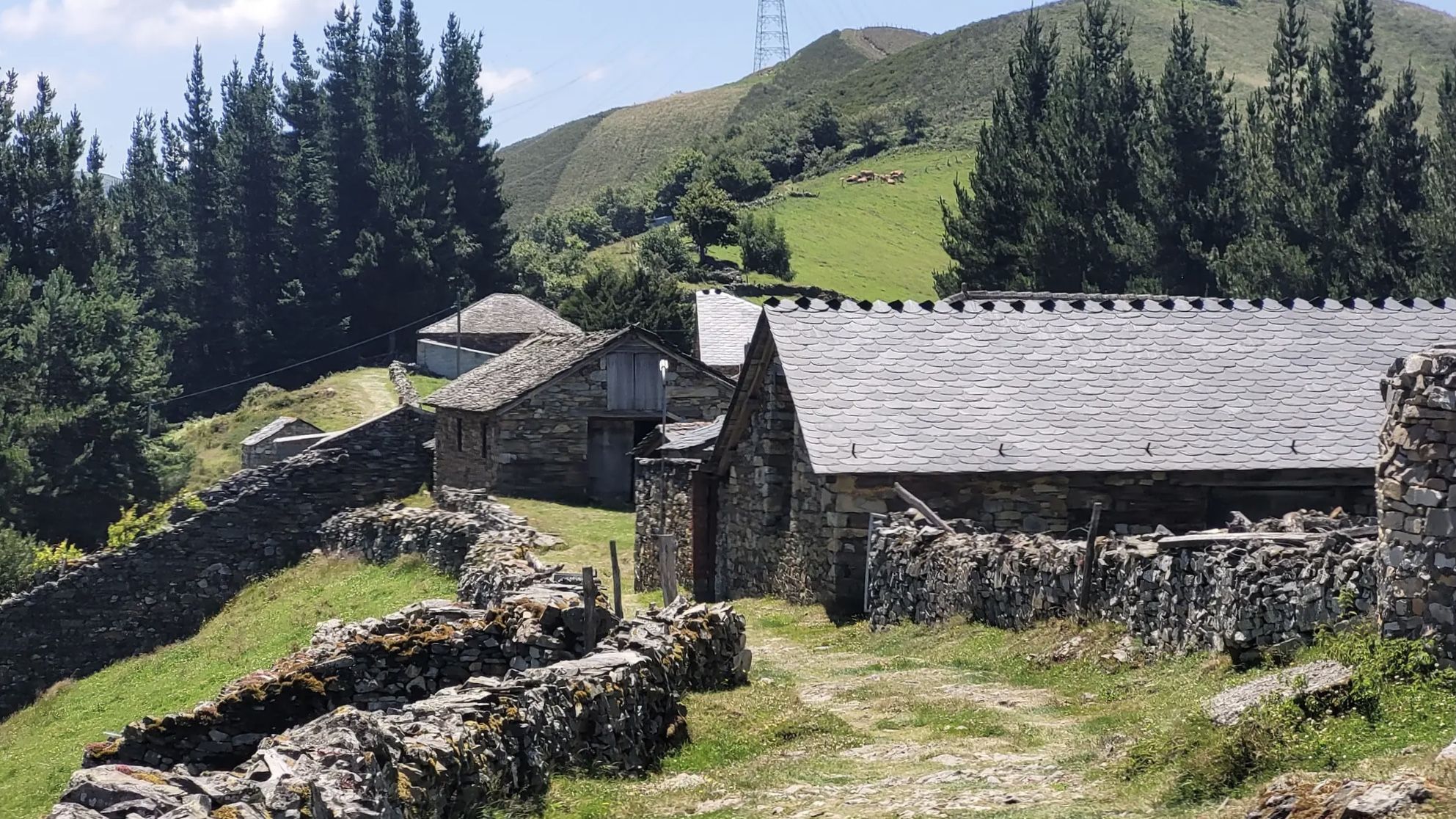
The climb to Alto de Chavadoira on the southern slope, from Pola de Allande, is one of those ascents that best defines the character of western Asturias: narrow roads, mountainous surroundings, a steady gradient, and the feeling of being in a place far from the noise. It's not a mountain pass with impressive numbers, but it is one of continuity. The road itself is in good condition, but its narrowness and the presence of blind curves require caution, especially on the descent. Traffic is almost nonexistent, which enhances the experience, but doesn't eliminate the need to remain alert at all times. In terms of weather, the pass reflects the reality of the Asturian mountains: humidity, fog, and temperature changes are frequent, so it's advisable to always wear appropriate clothing even if the day seems stable at the start. Here's the link to the altimetry published by @cyclingcols.com -- https://www.cyclingcols.com/col/Lavadoira
1
0
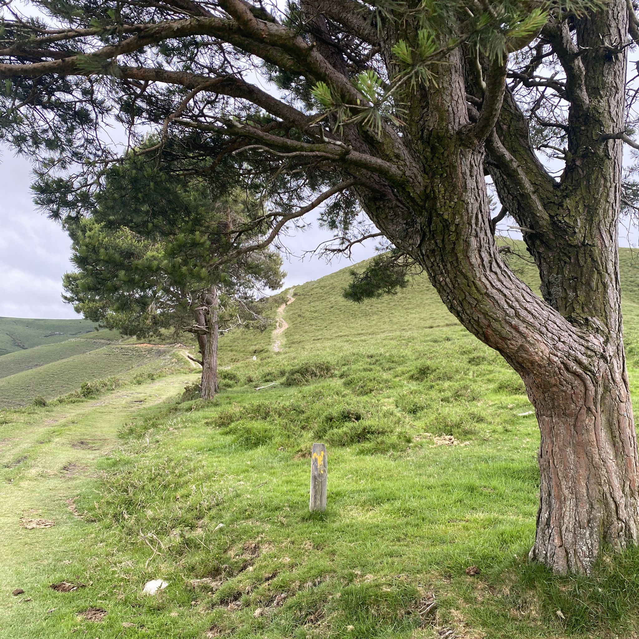
It is not too hard or long but it is very enjoyable.
0
0

The Leitariegos Pass is a mountain pass located at an altitude of 1,520 meters in a beautiful natural setting. It's an ideal stopover point on the trails and has a bar and restaurant.
0
1
Among the theories surrounding the unusual name of this mountain pass, one is the popular legend that some shepherdesses were caught in a blizzard and died in a nearby shelter. In any case, the pass is located in a stunning setting.
0
0
The Santa Ana peak is only 710 meters above sea level, but the ascent along the road offers spectacular views.
0
0
カンガス・デ・ナルセアでのの人気観光スポット

komootモバイルアプリでインスピレーションを得よう


探していたものは見つかりませんでしたか?
地域ごとに整理されたさらに素晴らしい山道を見つけましょうカンガス・デ・ナルセアでの:
さらに探索
これらのガイドでさらに壮大な山道を見てみましょうカンガス・デ・ナルセアでの:
