エスタレハの天然記念物・トップ5
エスタレハが誇る美しい風景を見てみたいなら、エスタレハの素晴らしい天然記念物・トップ5
に行ってみましょう。あなたにぴったりの場所が見つかるよう、素晴らしい天然記念物を探索するために必要なすべての情報を集めました。次のアウトドアの冒険に出かける計画の参考にしましょう。
最終更新日: 8月 30, 2026
カナル・デ・オヴァール 🌊 アヴェイロの潟
ハイライト • 湖
翻訳者 Google •
役立つ情報 は

塩田の眺め、Rua do Sal
ハイライト • 展望台
翻訳者 Google •
役立つ情報 は

今すぐサインアップして、こんな場所を発見しよう
最高のシングルトラック、ピーク、その他のエキサイティングなアウトドアスポットのおすすめを受け取ろう。
無料新規登録
Pateira de Frossos
ハイライト • 湖
ListMap
Show filters
I'm looking for
Regions
Municipalities
Category
No results found. Please use the form.
Your account
Favorites
My Centre
Albergaria-a-Velha
Aveiro Region
翻訳者 Google •
役立つ情報 は

アヴェイロ塩田
ハイライト • 構造物
This economic activity used to generate high revenues here, …
翻訳者 Google •
役立つ情報 は

アヴェイロ環境解説センター(CMIA)
ハイライト • 休憩所
翻訳者 Google •
役立つ情報 は

無料アカウントで今日から始めよう
次の冒険が待っています。
ログインまたは登録

コミュニティからのヒント


Salt mining in the Aveiro region dates back to a time before the Ria de Aveiro itself existed, with the first written document about Aveiro salt production dating back to before the founding of the nation. Over the centuries, the instability of the inlet (isolation from the sea) was a decisive factor in the variation in the number and production of salt pans. This resulted in periods of decline interspersed with periods of great favorability for production. This occurred in 1572, when, given the favorable condition of the inlet and the high and progressive commercial and maritime index, Aveiro became one of the best ports in Portugal, with a significant increase in salt trade and cod fishing. In 1808, the new inlet (an artificial system that allows seawater to enter) was finally opened, a fact of exceptional importance for the future of Aveiro and the entire region. (Source: Wikipedia) (Source: Wikipedia)⁶
13
0

Draining the sea and the resulting salt production has always played a major role in the economy of the Aveiro region. This economic activity used to generate high revenues here, but has lost much of its importance in recent years. Only a few salt pans remain.
11
1

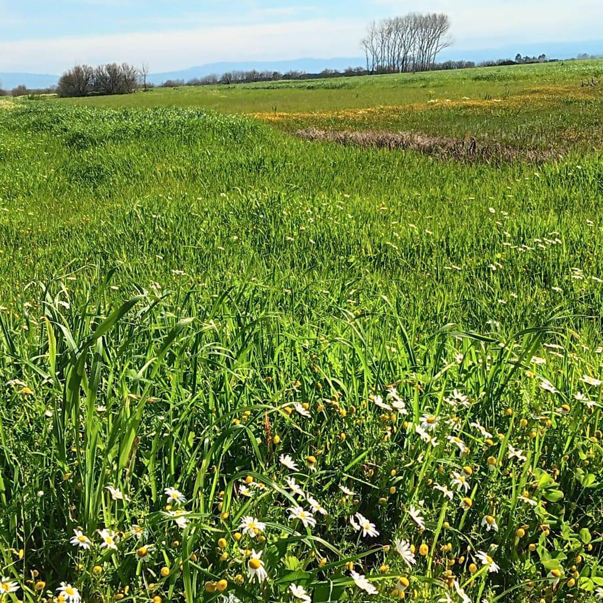
Search ListMap Show filters I'm looking for Regions Municipalities Category No results found. Please use the form. Your account Favorites My Centre Albergaria-a-Velha Aveiro Region Albergaria-a-Velha is a land of traditions made of water, bread and mills. The latter predominate in Albergaria-a-Velha – the municipality with the largest number of inventoried water mills in Europe – and constitute an important element of the rural landscape of the watercourses that run through the entire municipality. They are elements with high heritage value that delight the eyes of the people of their lands and all visitors who dare to visit them. Pateira de Frossos is part of the important lagoon system of the Ria de Aveiro, representing a valuable tourist resource that displays an unparalleled biodiversity of species and vegetation, an excellent natural resource that must be exploited, cared for, promoted and publicized. The sound of running water is a constant presence in the parish of Ribeira de Fráguas. The Caima River, which rises in the Serra da Freita and flows for 50 km until it flows into the right bank of the Vouga, as well as its various tributaries, carve their way through the uneven terrain of this more mountainous area. The Camino de Santiago represents a remarkable intangible heritage, a memory and an identity for Albergaria-a-Velha.
0
0

The CMIA ("Centro Municipal de Interpretacao Ambiental") is located right on the edge of the extensive saltworks landscape. It offers an interesting and varied exhibition with stuffed birds and other animal species, well-made and helpful display boards and other displays. The expert staff are happy to help with many further questions. From the walkable roof of the center there are great views of the extensive wetlands of the original saltworks landscape. Binoculars are also available. Outside there are covered table groups for resting and some educational games.
2
1

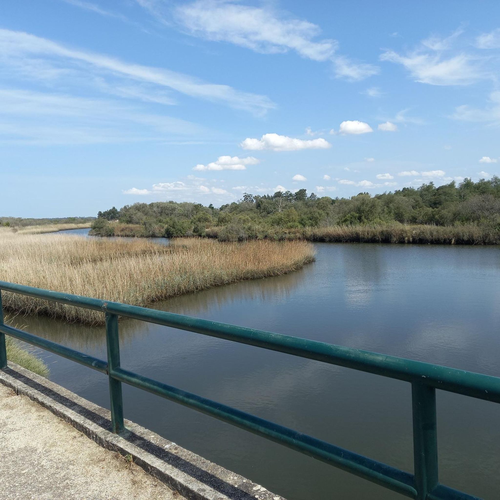
The Canal de Ovar, also known as Ria de Ovar, is the northern section of the Ria de Aveiro, between São Jacinto and Ovar, in the district of Aveiro. The shallow coastal lagoon, about 25 kilometers long, is the largest of the three main channels of the Ria (Ovar, Ílhavo and Mira) understood as a unique space in the context of Portugal and Europe, given the environmental and landscape qualities of high scientific value, with conditions for the practice of bird watching and other activities, such as rowing, sailing, canoeing, stand up paddle or simple boat or moliceiro trips. The Ria de Aveiro has been the target of a silting intervention since 2019, with the aim of strengthening the margins in low areas threatened by the advance of water, to protect people and goods and to restore the supply of sediment to the coast, and complementarily, contribute to the improvement of navigation conditions in the estuary and accessibility to some of the quays, which are quite silted, as well as to maintain an ecological flow, in order to preserve ecosystems
2
0
エスタレハでのの人気観光スポット

komootモバイルアプリでインスピレーションを得よう


さらに探索
これらのガイドで、最高の洞窟を探す範囲を広げましょうエスタレハでの:
