ムルトーサの天然記念物・トップ7
ムルトーサが誇る美しい風景を見てみたいなら、ムルトーサの素晴らしい天然記念物・トップ7
に行ってみましょう。あなたにぴったりの場所が見つかるよう、素晴らしい天然記念物を探索するために必要なすべての情報を集めました。次のアウトドアの冒険に出かける計画の参考にしましょう。
最終更新日: 8月 30, 2026
カナル・デ・オヴァール 🌊 アヴェイロの潟
ハイライト • 湖
翻訳者 Google •
役立つ情報 は

リア・デ・アヴェイロ - ミラ運河
ハイライト • 川
翻訳者 Google •
役立つ情報 は

今すぐサインアップして、こんな場所を発見しよう
最高のシングルトラック、ピーク、その他のエキサイティングなアウトドアスポットのおすすめを受け取ろう。
無料新規登録
塩田の眺め、Rua do Sal
ハイライト • 展望台
翻訳者 Google •
役立つ情報 は

リア・デ・アヴェイロの砂丘を通る木道
ハイライト • トレイル
翻訳者 Google •
役立つ情報 は

ダス・サン・ジャシント自然保護区の松林
ハイライト • 森
翻訳者 Google •
役立つ情報 は

無料でサインアップして、さらに多くの自然記念物を発見しましょう ムルトーサでの。
無料新規登録
すでにアカウントをお持ちですか?
無料アカウントで今日から始めよう
次の冒険が待っています。
ログインまたは登録


コミュニティからのヒント

Salt mining in the Aveiro region dates back to a time before the Ria de Aveiro itself existed, with the first written document about Aveiro salt production dating back to before the founding of the nation. Over the centuries, the instability of the inlet (isolation from the sea) was a decisive factor in the variation in the number and production of salt pans. This resulted in periods of decline interspersed with periods of great favorability for production. This occurred in 1572, when, given the favorable condition of the inlet and the high and progressive commercial and maritime index, Aveiro became one of the best ports in Portugal, with a significant increase in salt trade and cod fishing. In 1808, the new inlet (an artificial system that allows seawater to enter) was finally opened, a fact of exceptional importance for the future of Aveiro and the entire region. (Source: Wikipedia) (Source: Wikipedia)⁶
13
0

With 995.69 hectares, of which 733.48 hectares are on land and 262.21 hectares are marine, the Dunas de São Jacinto Nature Reserve is located in the "ria de Aveiro", on a thin sandy peninsula that separates the salt water from the brackish water, to which the Vouga River gives a "sweeter" taste.
2
1

The protected area consists of 3 very different zones: the dune area which leads into a pine and acacia forest that was planted at the end of the last century to reinforce the dunes. Inside there are some freshwater ponds.
2
1

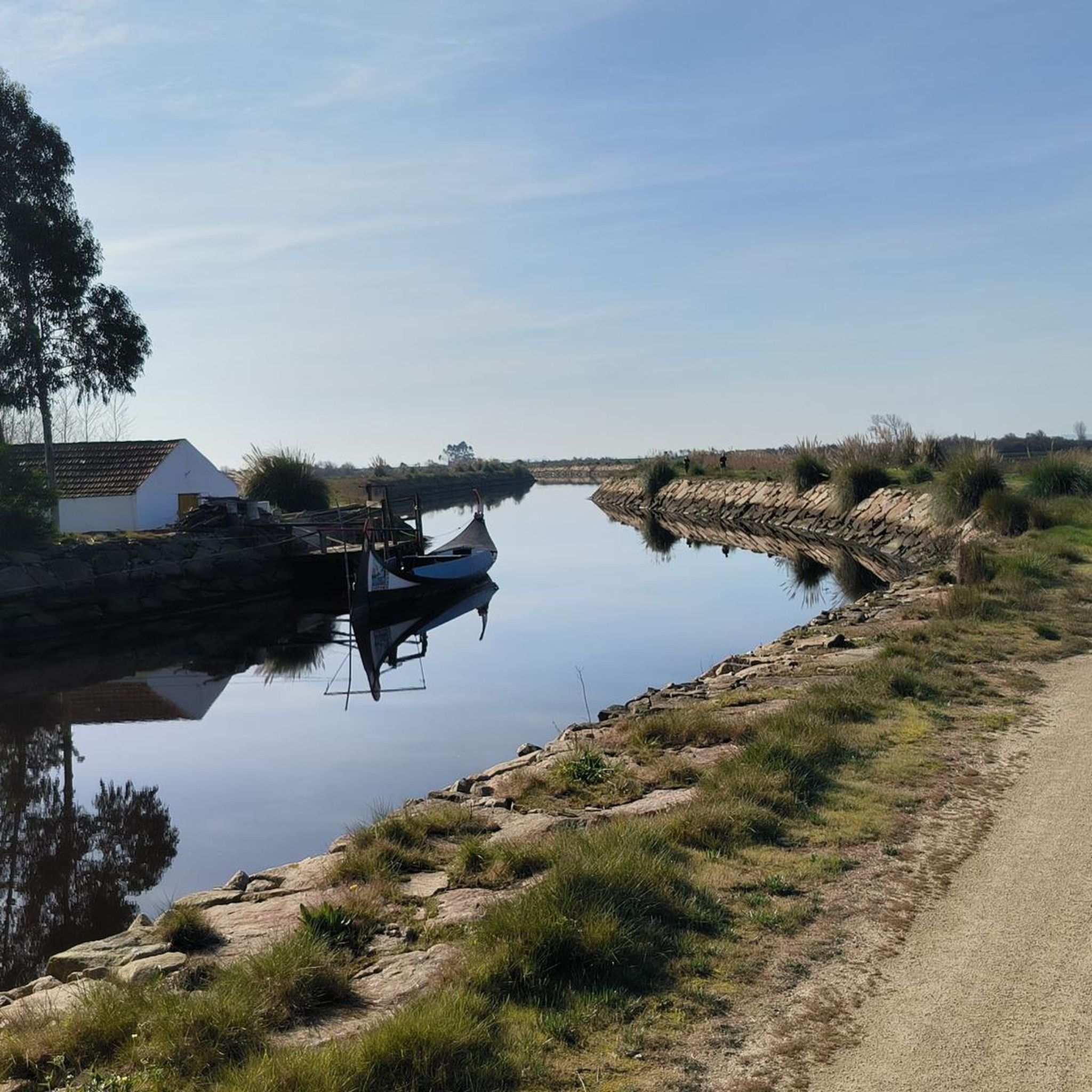
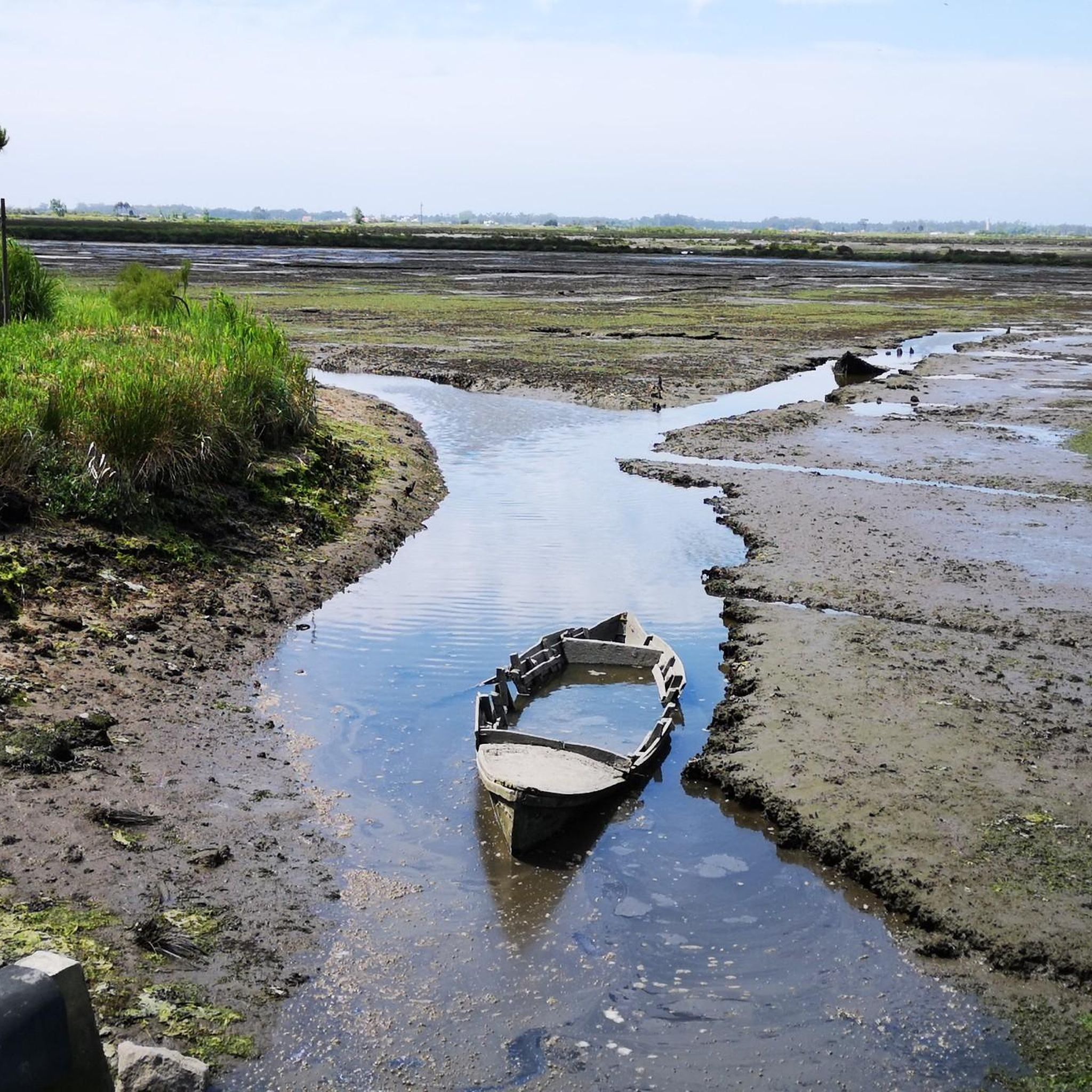
The Ria de Aveiro (also known as Foz do Vouga) is a shallow coastal lagoon in the Aveiro region, extending for 45 kilometers. It covers two districts and several locations, including Aveiro, Ílhavo and Mira. It is divided into three main channels, one of which is the Canal de Mira, location of the bridge in question.
0
0

The path leads over the dunes along the sea and is primarily intended to protect the vegetation there.
4
1

A boardwalk through the dunes
4
1

The bridge crosses the beautiful long extension of the coastal lagoon, stretching along the Lagoon from Aveiro to Vagueira
1
0
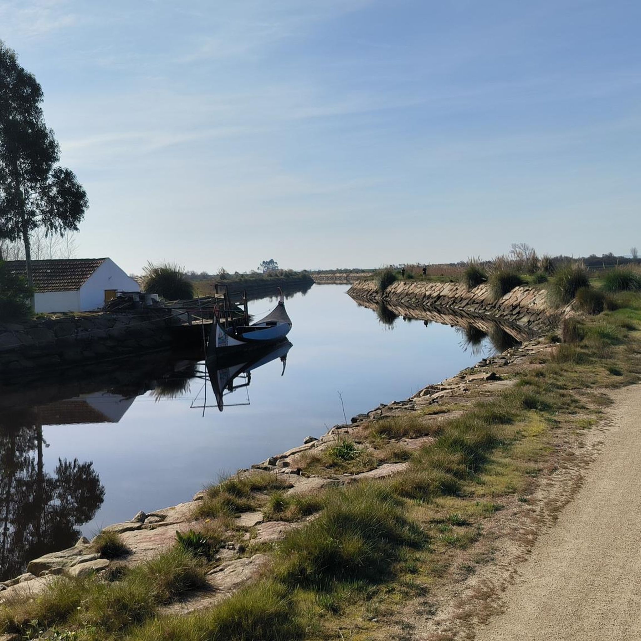
The Canal de Ovar, also known as Ria de Ovar, is the northern section of the Ria de Aveiro, between São Jacinto and Ovar, in the district of Aveiro. The shallow coastal lagoon, about 25 kilometers long, is the largest of the three main channels of the Ria (Ovar, Ílhavo and Mira) understood as a unique space in the context of Portugal and Europe, given the environmental and landscape qualities of high scientific value, with conditions for the practice of bird watching and other activities, such as rowing, sailing, canoeing, stand up paddle or simple boat or moliceiro trips. The Ria de Aveiro has been the target of a silting intervention since 2019, with the aim of strengthening the margins in low areas threatened by the advance of water, to protect people and goods and to restore the supply of sediment to the coast, and complementarily, contribute to the improvement of navigation conditions in the estuary and accessibility to some of the quays, which are quite silted, as well as to maintain an ecological flow, in order to preserve ecosystems
2
0
ムルトーサでのの人気観光スポット

komootモバイルアプリでインスピレーションを得よう


さらに探索
これらのガイドで、最高の洞窟を探す範囲を広げましょうムルトーサでの:
