ラ・オロタバの峠・トップ6
風景を楽しんだり、上りや下りを満喫したり、峠には楽しみ方がたくさんあります。ラ・オロタバの素晴らしい峠の一覧を参照して、思い出に残るアドベンチャーに出かけましょう。コミュニティのメンバーがコミュニティのために投稿した峠のハイライトは、他のユーザーが実際におすすめする情報なので、どれも信頼できるものです。気に入った峠にさっそく向かってみましょう。
最終更新日: 8月 25, 2026
テイデ山麓の最高地点
ハイライト • 山道
翻訳者 Google •
役立つ情報 は

景色の良い山道
ハイライト (セグメント) • 山道
役立つ情報 は

今すぐサインアップして、こんな場所を発見しよう
最高のシングルトラック、ピーク、その他のエキサイティングなアウトドアスポットのおすすめを受け取ろう。
無料新規登録
チャバオ峠
ハイライト • 山道
翻訳者 Google •
役立つ情報 は

エル・クルセ・デ・アラフォ
ハイライト • 山道
翻訳者 Google •
役立つ情報 は

テノ山脈を通ってプエルト・デ・ラ・クルスへ向かう景観ルート
ハイライト (セグメント) • トレイル
Small Intestine Tour to Puerto de la Cruz
Very scenic serpentine tour along the Teno mountains (pass height 1,120 m), along the coast and …
翻訳者 Google •
役立つ情報 は

無料アカウントで今日から始めよう
次の冒険が待っています。
ログインまたは登録
ラ・オロタバ周辺で人気
海岸からテイデへ - UTMBによるテネリフェ・ブルーテレイル
テネリフェの巨人 — ロードバイクでテイデを周り

Trail on the Canary Islands – discover the legendary races!
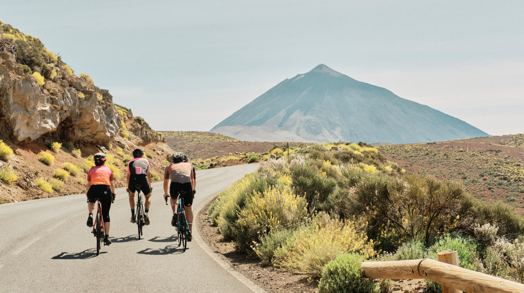
Tenerife by road bike — cycling between forests and volcanoes
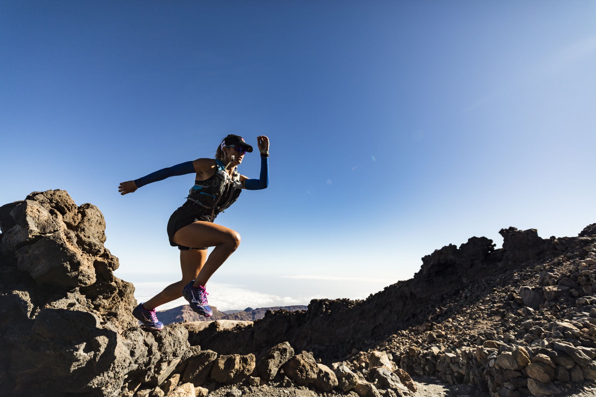
Trail running in Tenerife – dreamy routes between sea and mountain
Six fascinating ways to discover the Canary Islands on foot
火山、溶岩、および森林–テネリフで走る
壮大なテネリフェ森林 - 北部森林MTBルート
イリースプリジルット - カムナュ セ サランドティトフォルティク
テネリフ北から南へ–カミノ・ナチュラル・デ・アナガ・チャスナ
ラ・オロタバでのの他の冒険


コミュニティからのヒント

You can take some nice tours here, but it's also very busy.
0
0

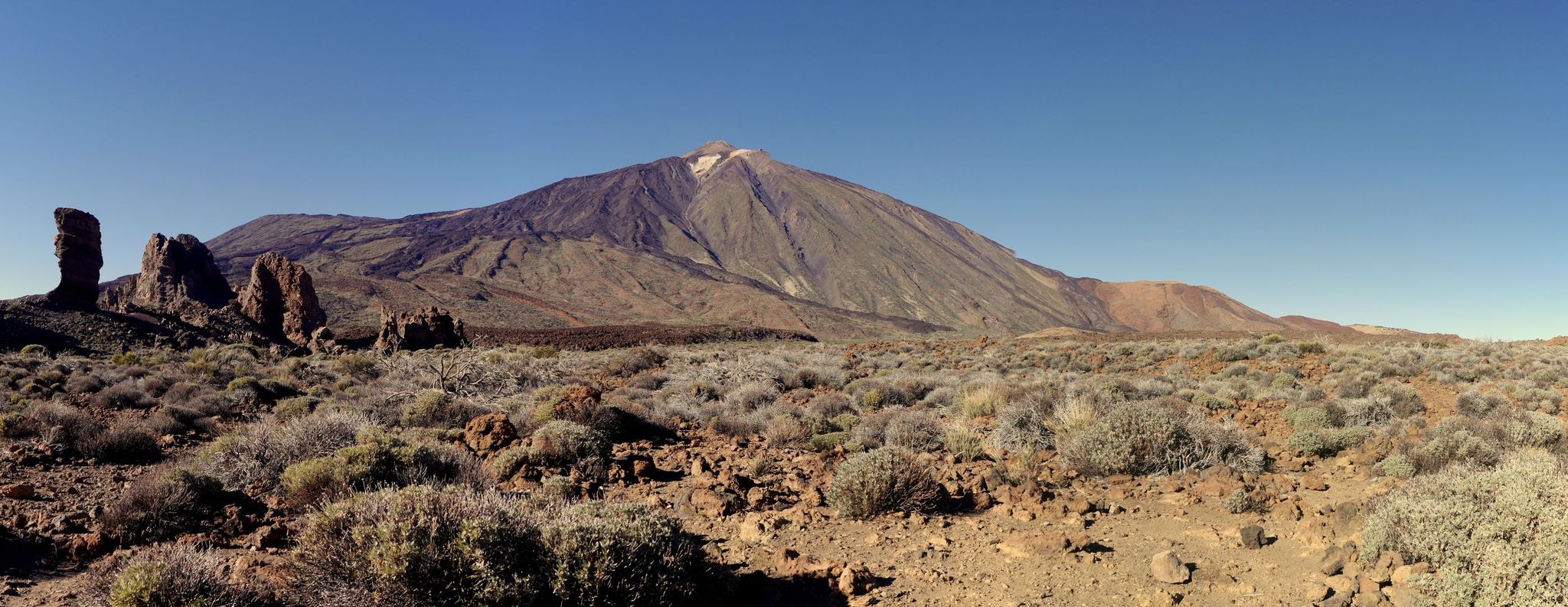
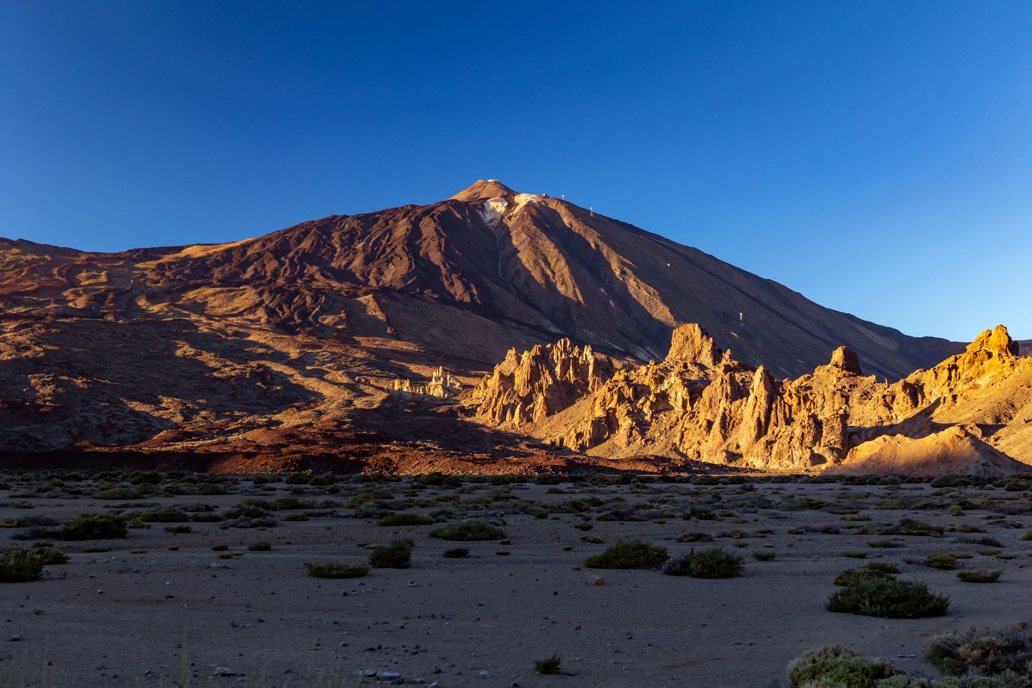
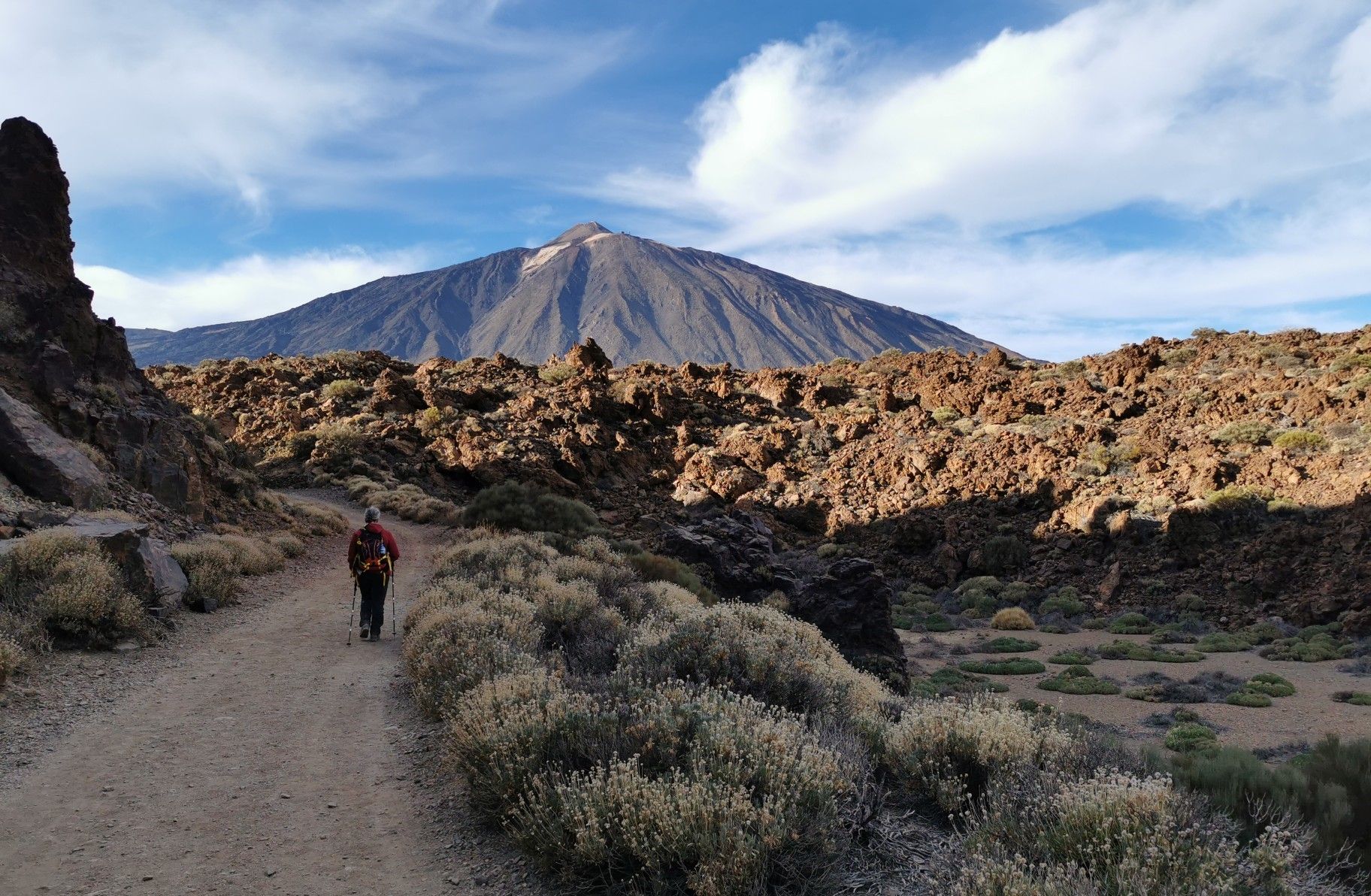
What a giant Teide is becomes clear here at the foot of the mountain. The sign gives it away: you are already at an altitude of 2,250 meters at this point. And yet you have to tilt your head back to look up at the crater of the island volcano and thus at the highest Spanish mountain.
1
0

One of the most beautiful slopes on the island. Recommended in every respect.
0
0

Called Chavao, it is one of the passes that reaches from the towns on the side of the mountain towards Montaña del Cedro.
1
0

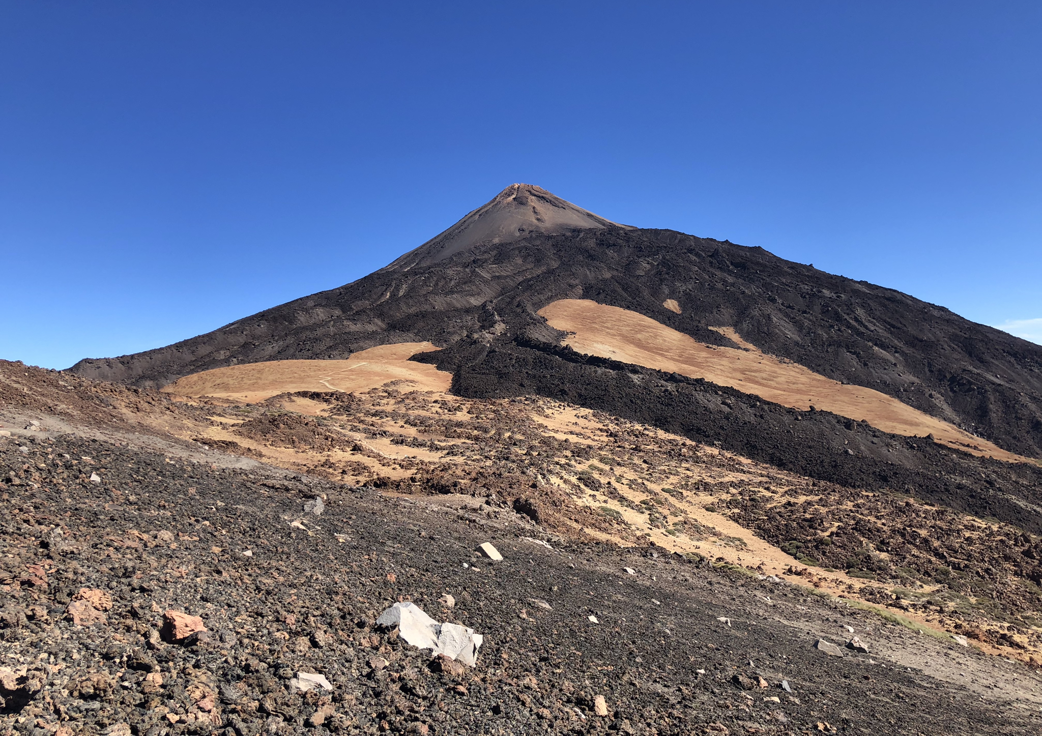
This is the highest point at the base of Teide, that is, the highest point in the national park (not counting the upper dome of the volcano). This can only be climbed by cable car or by walking along an extremely steep path, so this is the end of the ascent to Teide by bike.
0
0

And again with outside help..... 🚍 Small Intestine Tour to Puerto de la Cruz Very scenic serpentine tour along the Teno mountains (pass height 1,120 m), along the coast and along the north flank of the Teide with a total of 90 (!) stops from Los Gigantes to Puerto de la Cruz (port of the cross) on the green north side of Tenerife. The way was the goal.
0
0

So I took the chance last year. It shouldn't be too hot, the wind should be light if possible and no thunderstorms should be approaching. Today I gave up at Vilaflor. Uphill 10 percent and headwind of over 40 kmh. That's no longer possible at my age, but under normal circumstances it's doable with enough water and snacks and when it's done you look forward to the descent like a snow hare. With the tailwind that prevailed today, I was almost afraid of the brakes. When a gust hits you from behind on a 12-14 percent gradient, corners or crossings get tight. The brakes actually glow and I'm not a scarecrow. So be careful :-)
5
2

The Teide is the highest mountain in Spain.
2
2

komootモバイルアプリでインスピレーションを得よう


さらに探索
これらのガイドでさらに壮大な山道を見てみましょうラ・オロタバでの:
