イコー・デ・ロス・ビノスの峠・トップ9
風景を楽しんだり、上りや下りを満喫したり、峠には楽しみ方がたくさんあります。イコー・デ・ロス・ビノスの素晴らしい峠の一覧を参照して、思い出に残るアドベンチャーに出かけましょう。コミュニティのメンバーがコミュニティのために投稿した峠のハイライトは、他のユーザーが実際におすすめする情報なので、どれも信頼できるものです。気に入った峠にさっそく向かってみましょう。
最終更新日: 8月 25, 2026
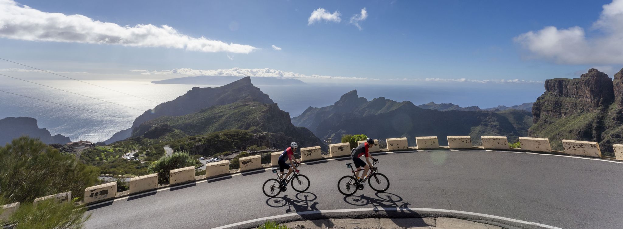
マスカ、ラ・ゴメラ、テイデの眺望
ハイライト • 展望台
翻訳者 Google •
役立つ情報 は

デゴジャダ・デル・ロケ(ロケ峠)
ハイライト • 山道
翻訳者 Google •
役立つ情報 は

今すぐサインアップして、こんな場所を発見しよう
最高のシングルトラック、ピーク、その他のエキサイティングなアウトドアスポットのおすすめを受け取ろう。
無料新規登録
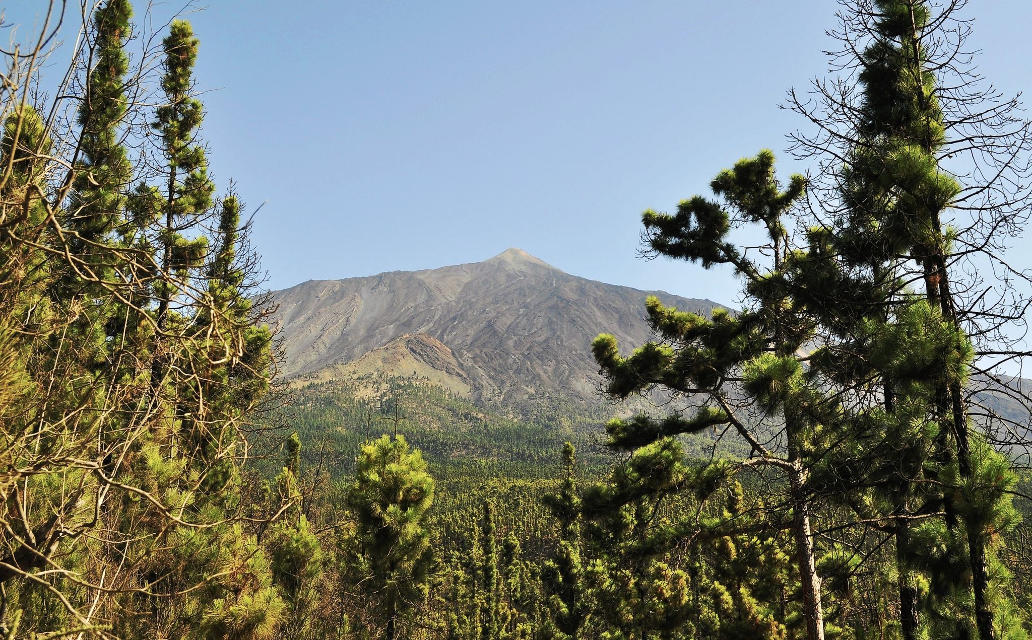
テイデ山麓の最高地点
ハイライト • 山道
翻訳者 Google •
役立つ情報 は

エルホス峠
ハイライト • 山道
The port is an interesting and popular route that starts from the sea …
翻訳者 Google •
役立つ情報 は

クルス・デ・ガラとリスコ・ヴェルデの間の鞍部
ハイライト • 山道
翻訳者 Google •
役立つ情報 は

無料でサインアップして、さらに多くの山道を発見しましょう イコー・デ・ロス・ビノスでの。
無料新規登録
すでにアカウントをお持ちですか?




コミュニティからのヒント

You can take some nice tours here, but it's also very busy.
0
0

It's worth driving up here. It's the highest point between the coast and the coast.
0
0

Fantastic view with climbing section
0
0

You should definitely climb the Risco verde. A magnificent view rewards the effort
0
0

Sometimes a lot of traffic, once the tunnel is finished it should be quieter
0
0

What a giant Teide is becomes clear here at the foot of the mountain. The sign gives it away: you are already at an altitude of 2,250 meters at this point. And yet you have to tilt your head back to look up at the crater of the island volcano and thus at the highest Spanish mountain.
1
0

very pleasant climb, perhaps a little busy, but still beautiful to walk and never challenging
0
0

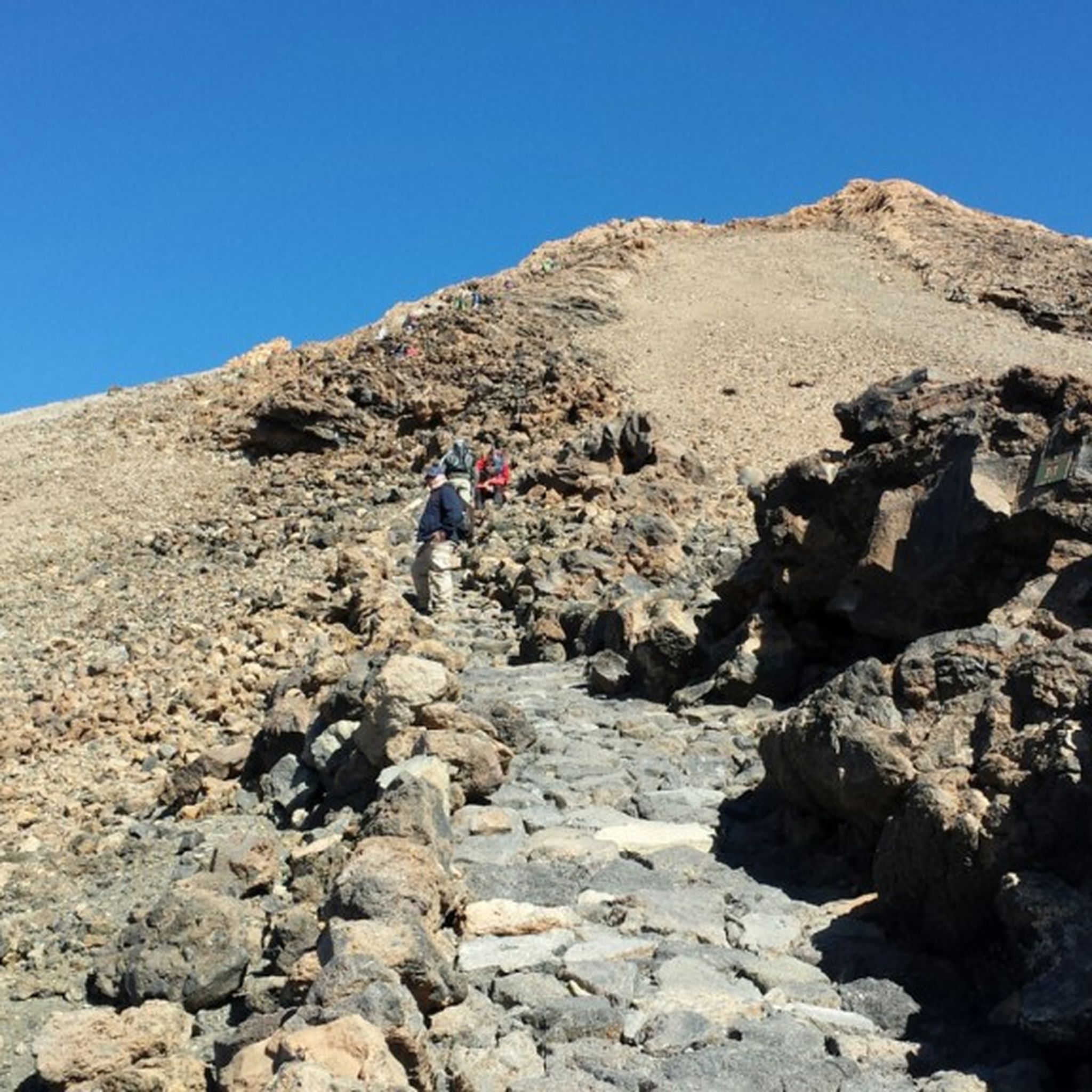
The path to Barancco Seco is closed from February to August due to bird breeding seasons. The upper path, which leads towards El bujero, is very impressive, especially the view of the valley. But the path is also adventurous and can be classified as T2+ in terms of level and in some areas up to T3+ (some exposed areas with a possible risk of falling. The path is mostly recognizable, sometimes only guessable. ), so not without it. At the end it is important to follow the red arrow and turn left up, otherwise you will end up on a short path (T4+) which, after some climbing on the slope, leads back to the actual path, but is very dangerous and you often cannot find the path so you have to look for it yourself. So be careful!
3
0
イコー・デ・ロス・ビノスでのの人気観光スポット

komootモバイルアプリでインスピレーションを得よう


さらに探索
これらのガイドでさらに壮大な山道を見てみましょうイコー・デ・ロス・ビノスでの:
