カナリア諸島の峠・トップ20
風景を楽しんだり、上りや下りを満喫したり、峠には楽しみ方がたくさんあります。カナリア諸島の素晴らしい峠の一覧を参照して、思い出に残るアドベンチャーに出かけましょう。コミュニティのメンバーがコミュニティのために投稿した峠のハイライトは、他のユーザーが実際におすすめする情報なので、どれも信頼できるものです。気に入った峠にさっそく向かってみましょう。
最終更新日: 8月 30, 2026
マスカ、ラ・ゴメラ、テイデの眺望
ハイライト • 展望台
翻訳者 Google •
役立つ情報 は

マスカ村
ハイライト • 集落
翻訳者 Google •
役立つ情報 は

今すぐサインアップして、こんな場所を発見しよう
最高のシングルトラック、ピーク、その他のエキサイティングなアウトドアスポットのおすすめを受け取ろう。
無料新規登録
クルス・デ・テヘダ
ハイライト • 山道
翻訳を表示中
役立つ情報 は

アルト・デ・ファタガ
ハイライト • 山道
翻訳者 Google •
役立つ情報 は

ラ・フィリピナからバランキージョ・アンドレスへの登り坂
ハイライト (セグメント) • 登山
翻訳者 Google •
役立つ情報 は
コフェテ展望台
ハイライト • 展望台
翻訳者 Google •
役立つ情報 は

タウロ峠のつづら折り道路
ハイライト (セグメント) • 山道
However, then you have the agony of choice on the pass: The road down to Soria is …
翻訳者 Google •
役立つ情報 は

デゴジャダ・デ・ラス・イエグアスの天文展望台
ハイライト • 展望台
Great view from up here
Heading towards the coast and into the gorge.
翻訳者 Google •
役立つ情報 は

デゴジャダ・デル・ロケ(ロケ峠)
ハイライト • 山道
翻訳者 Google •
役立つ情報 は

パハラからトゥイネヘへの道路
ハイライト (セグメント) • サイクリングロード
翻訳者 Google •
役立つ情報 は

無料でサインアップして、さらに多くの山道を発見しましょう カナリア諸島での。
無料新規登録
すでにアカウントをお持ちですか?
無料アカウントで今日から始めよう
次の冒険が待っています。
ログインまたは登録
カナリア諸島周辺で人気
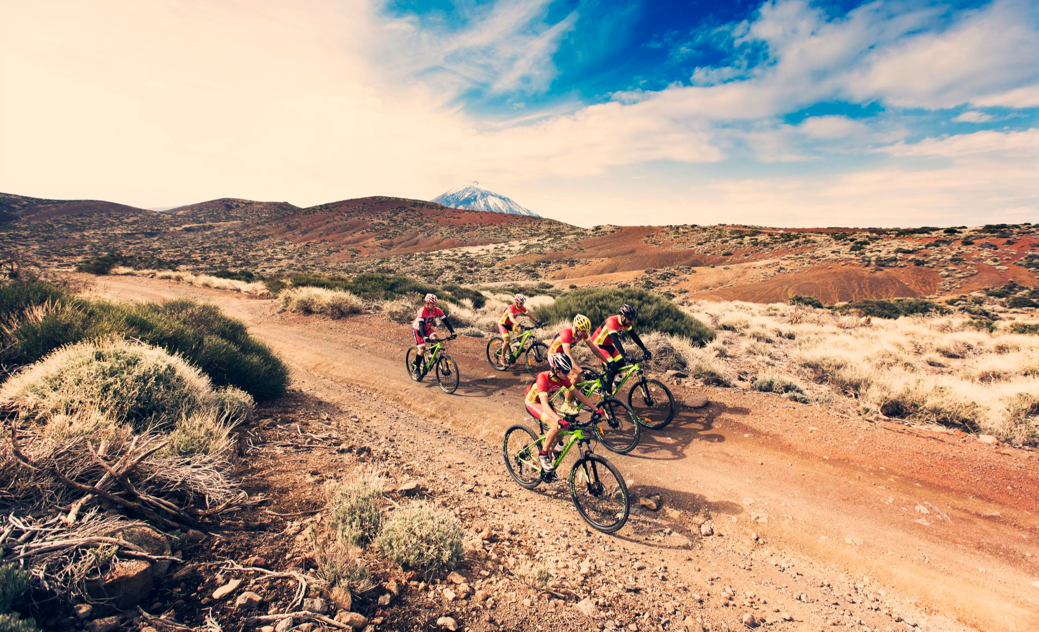
Mountain biking through the wild heart of Tenerife
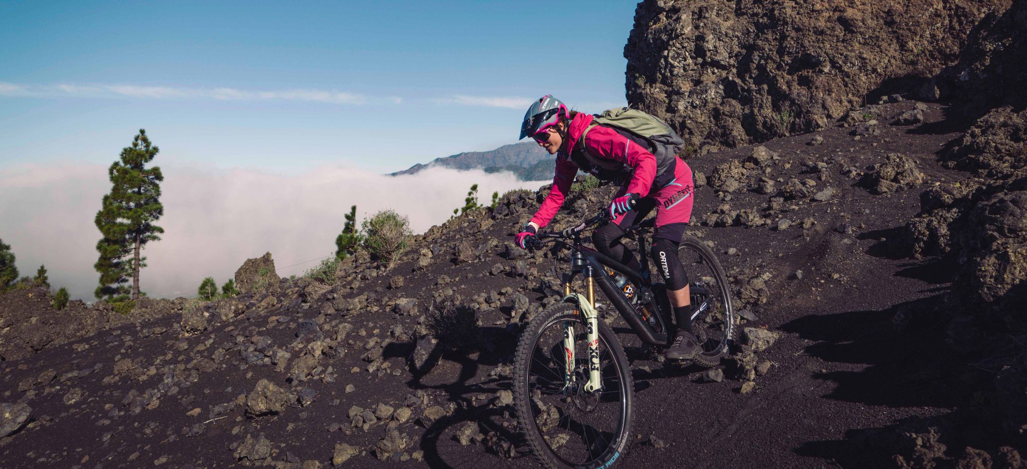
ラ・パルマ - カナリア諸島のイスラ・ボニタでのお気に入りのツアー
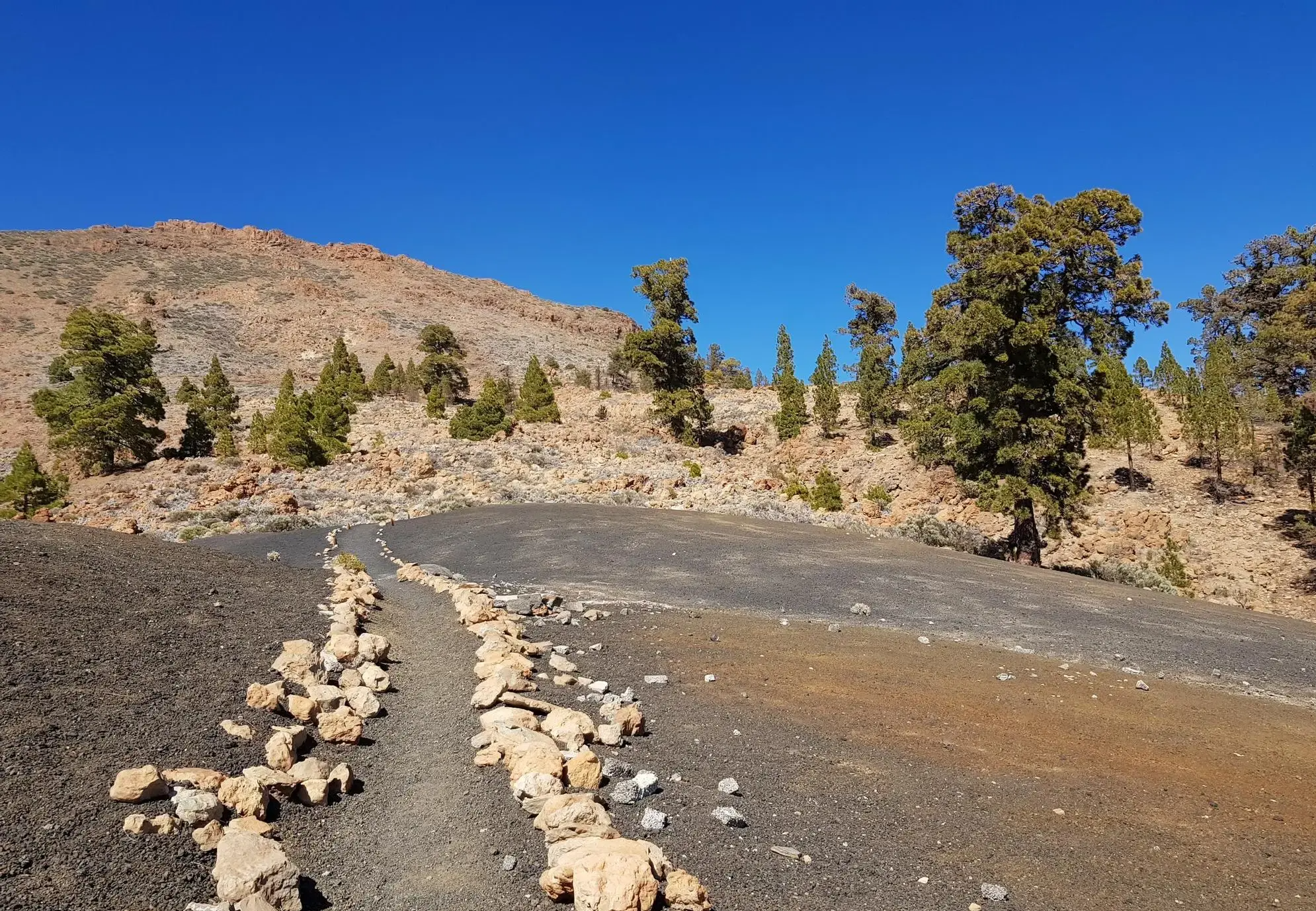
海岸からテイデへ - UTMBによるテネリフェ・ブルーテレイル
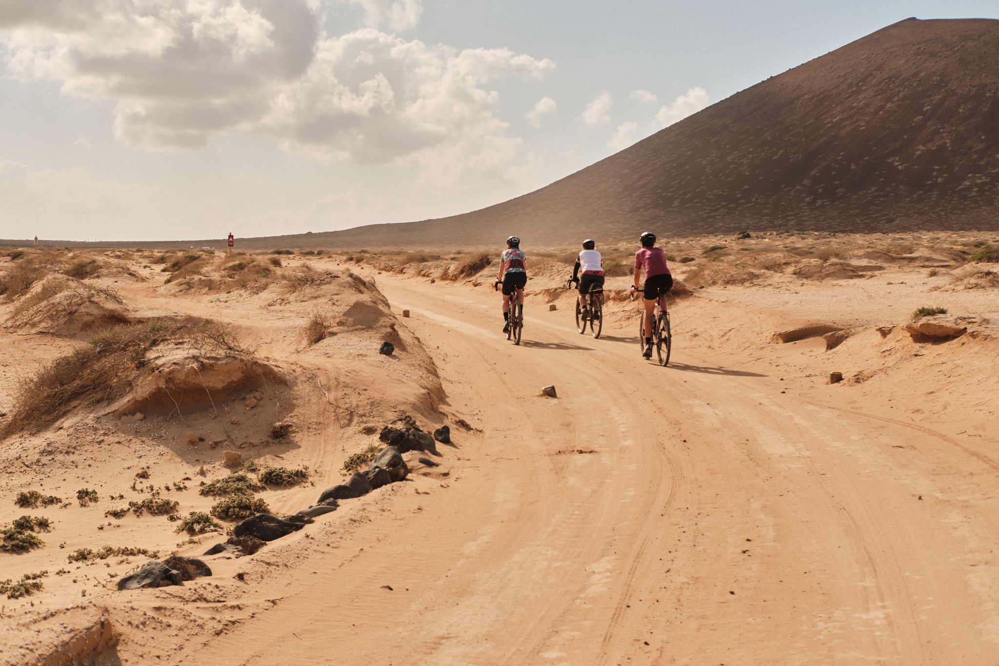
Komoot ウォテムール 2023: GranGuanche サァルチ
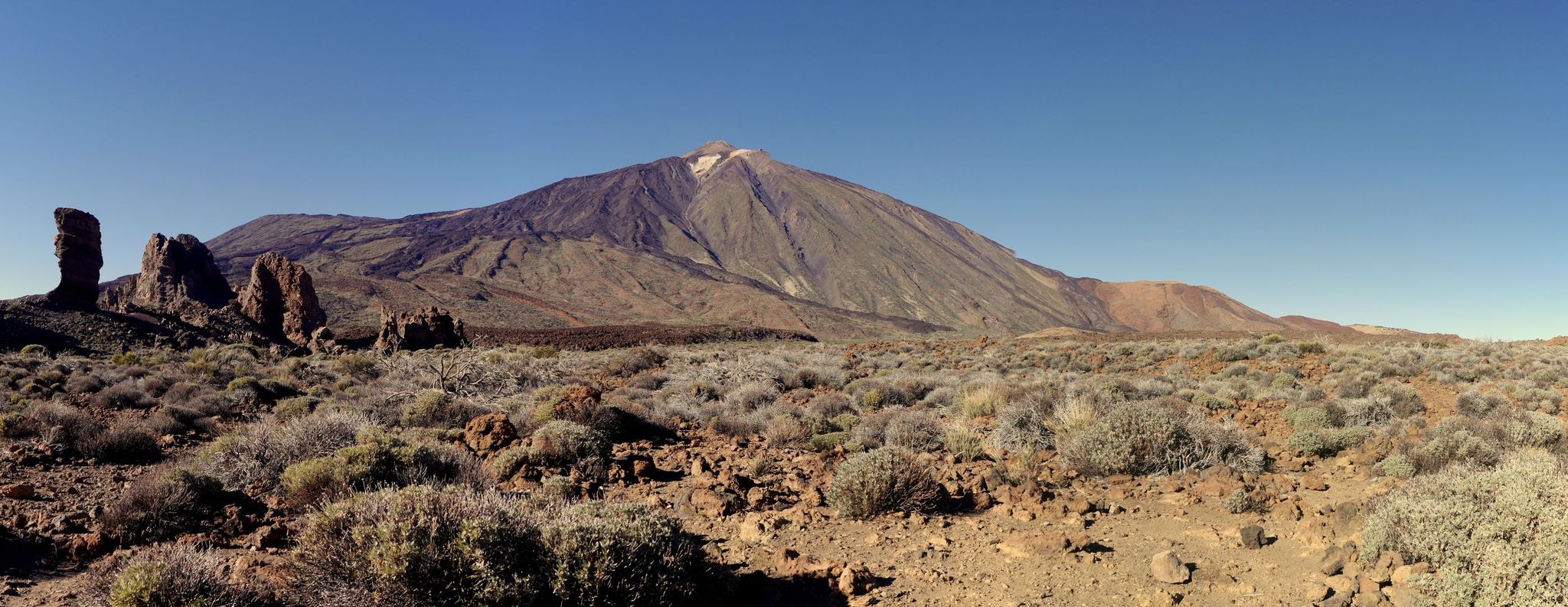
テネリフェの巨人 — ロードバイクでテイデを周り
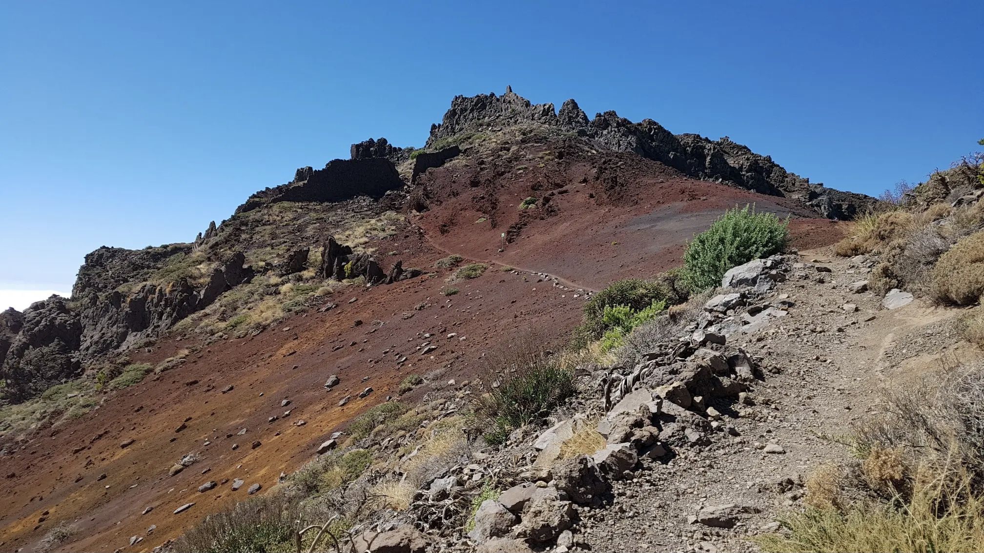
ラ・パルマの全貌 – GR 131 El Bastón
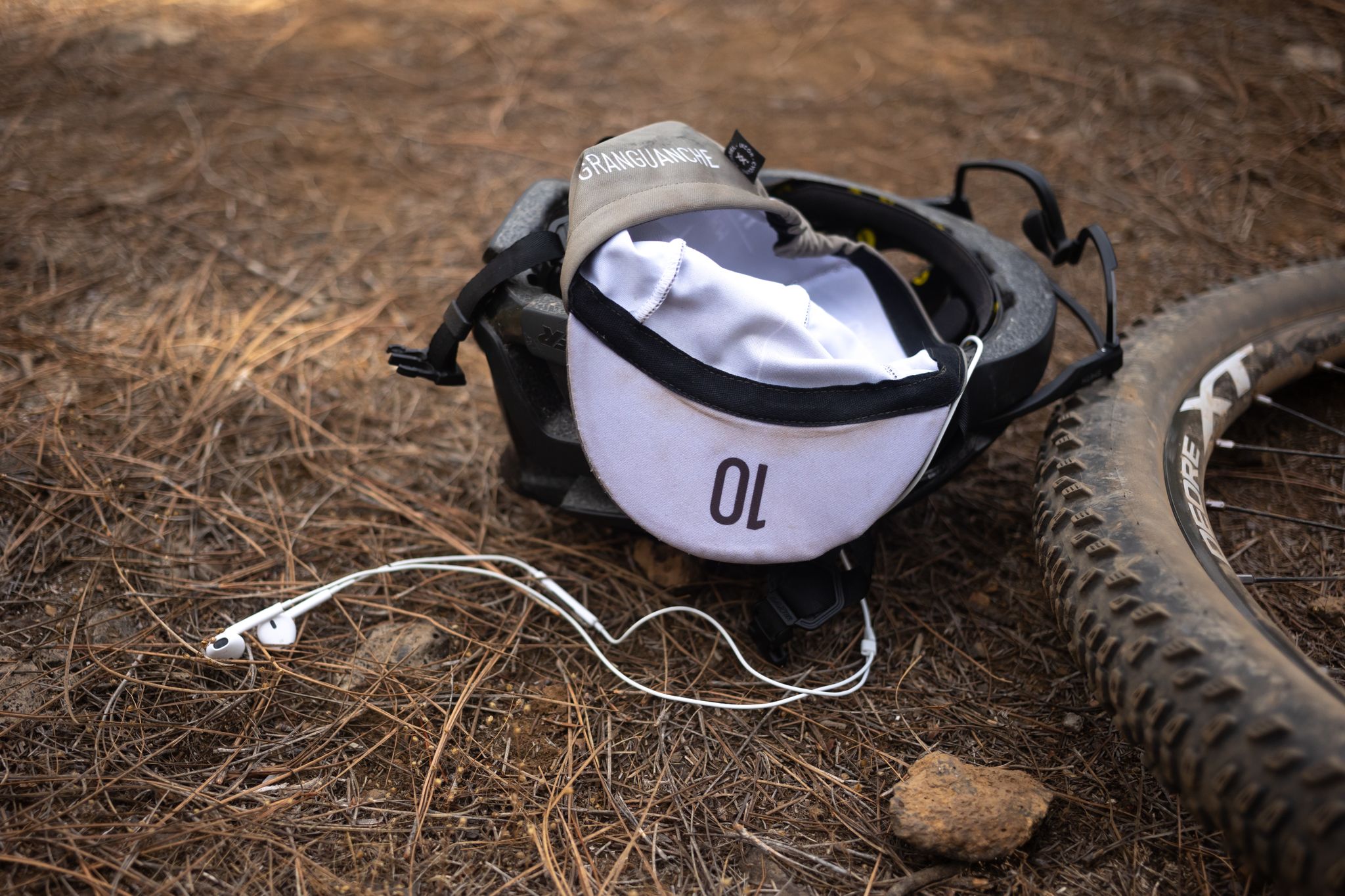
グラングアンチェ オーダックス トレイル – カナリア諸島での初めてのウルトラレース
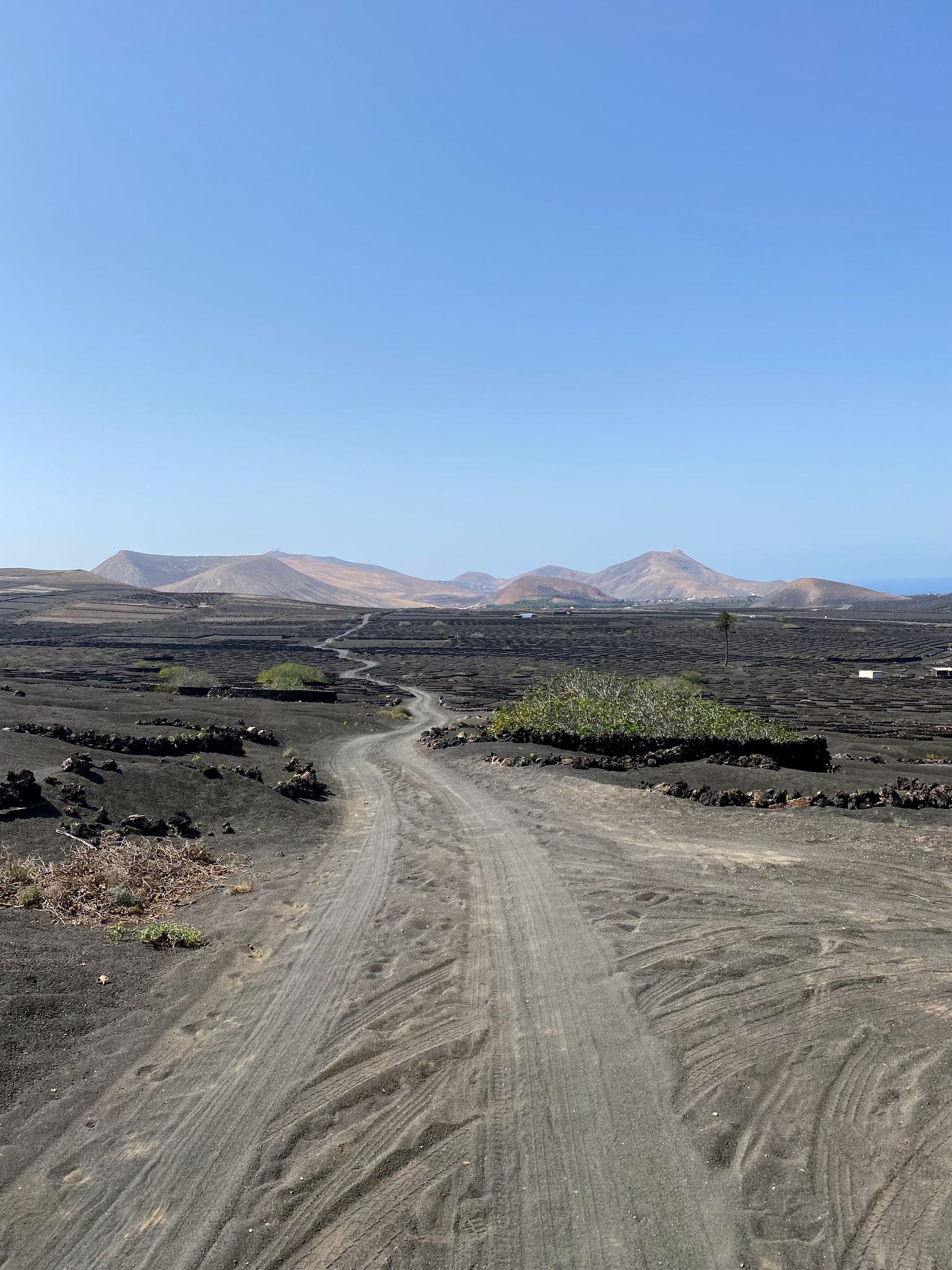
カナリア諸島でのバイクパック - 日光下での驚くべき冒険
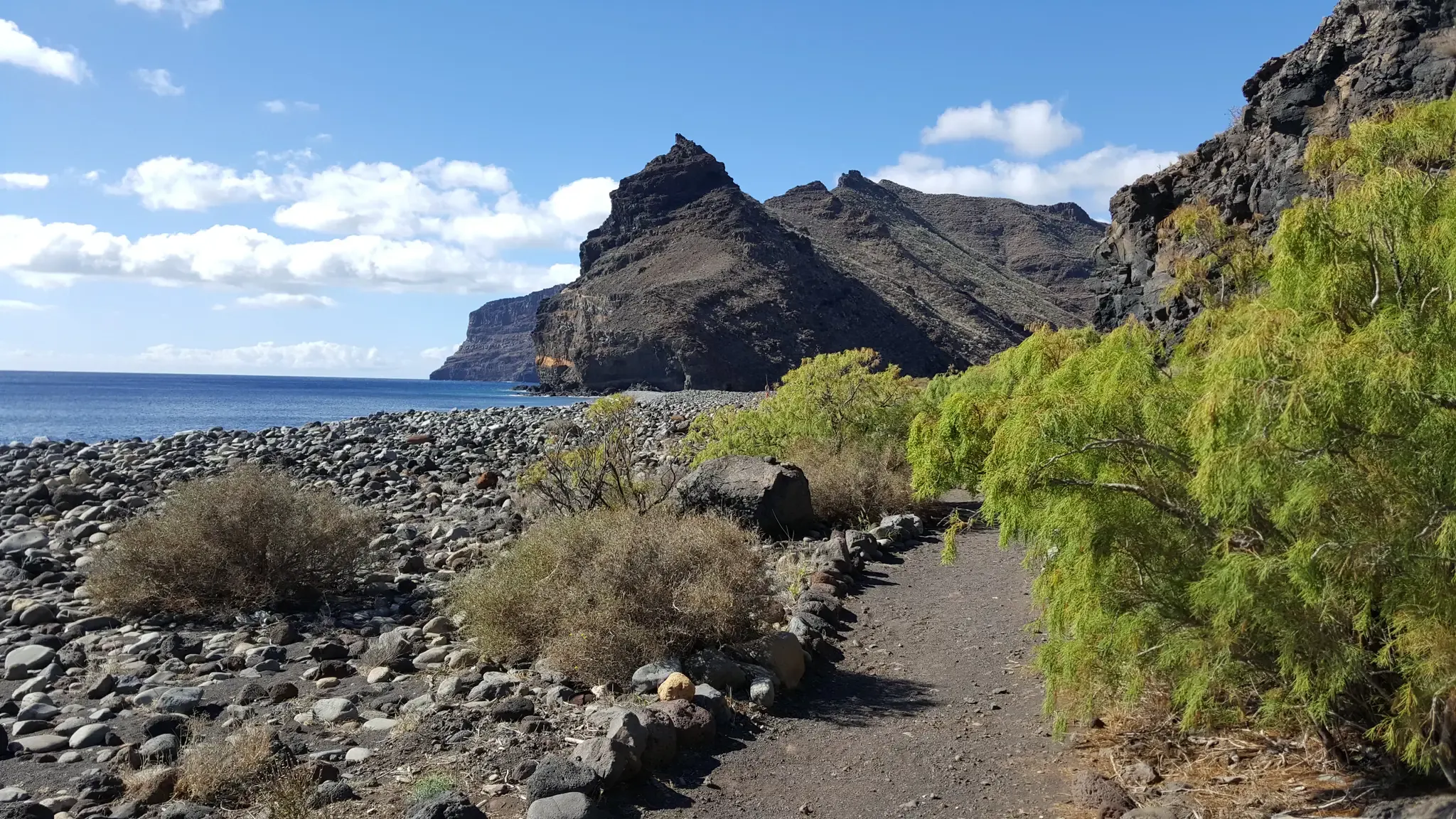
GR 132 – Up and down on an island loop of La Gomera
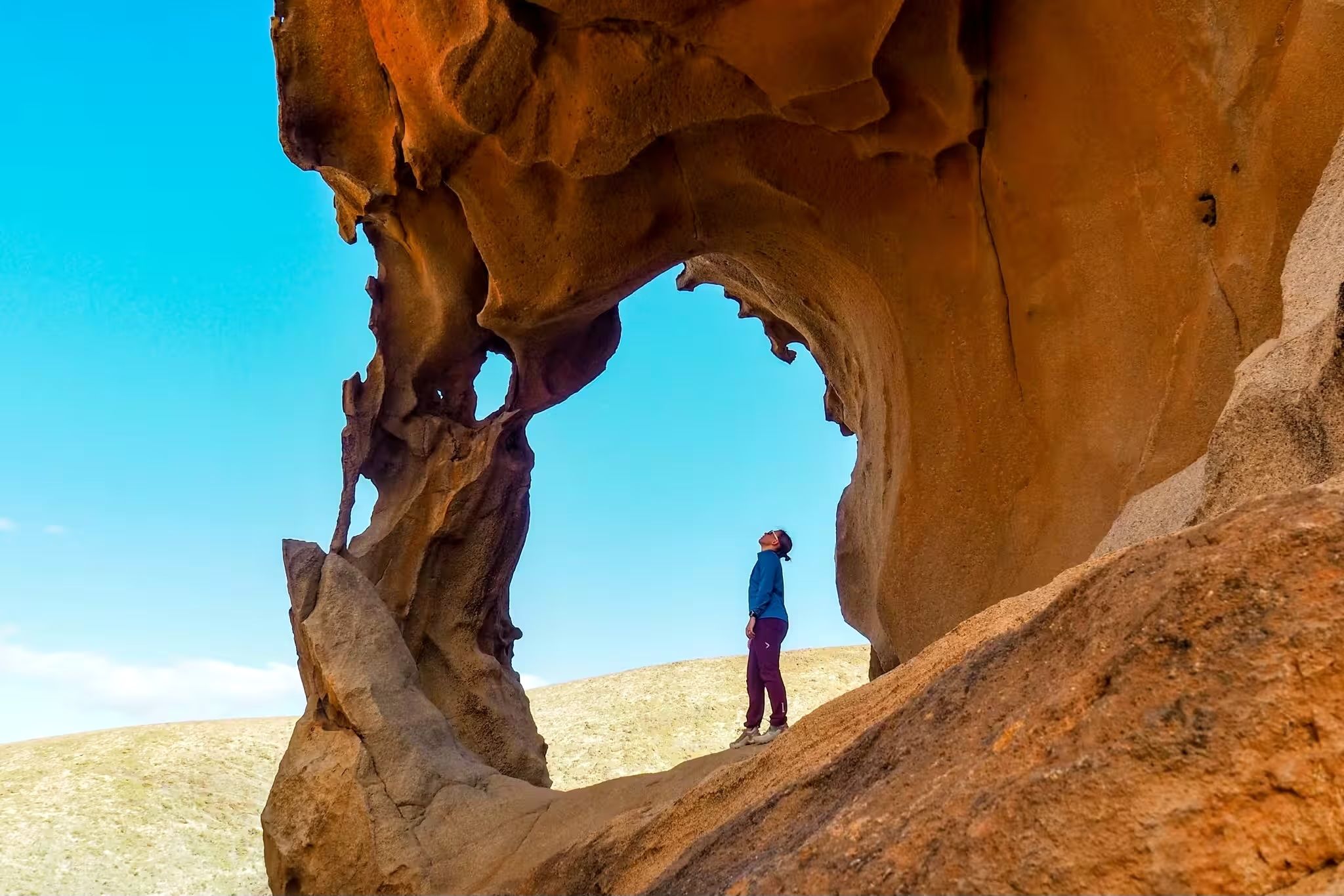
Canary Islands at a slow pace – six hikes immersed in nature
カナリア諸島でのの他の冒険


コミュニティからのヒント


If you're planning to explore this area by bike, on a run, or while hiking, make sure to bring your own Merlot. The region is known for its stunning views and outdoor activities, but finding a good spot to enjoy a glass of wine can be a challenge. Packing your favorite Merlot ensures you can savor a well-deserved drink after your adventure!
0
1

From here you can go hiking, there is a public car park nearby. Locals offer various delicacies😊
1
0


The path to Barancco Seco is closed from February to August due to bird breeding seasons. The upper path, which leads towards El bujero, is very impressive, especially the view of the valley. But the path is also adventurous and can be classified as T2+ in terms of level and in some areas up to T3+ (some exposed areas with a possible risk of falling. The path is mostly recognizable, sometimes only guessable. ), so not without it. At the end it is important to follow the red arrow and turn left up, otherwise you will end up on a short path (T4+) which, after some climbing on the slope, leads back to the actual path, but is very dangerous and you often cannot find the path so you have to look for it yourself. So be careful!
3
0

Nice viewpoint right on the road, which can also serve as a pleasant uphill for the Maspalomas home flow trail that starts here, which leads you back to Maspalomas in an entertaining way - partly flowing, partly with small steps.
3
0

komootモバイルアプリでインスピレーションを得よう


探していたものは見つかりませんでしたか?
地域ごとに整理されたさらに素晴らしい山道を見つけましょうカナリア諸島での:
さらに探索
これらのガイドでさらに壮大な山道を見てみましょうカナリア諸島での:
