アデヘの峠・トップ5
風景を楽しんだり、上りや下りを満喫したり、峠には楽しみ方がたくさんあります。アデヘの素晴らしい峠の一覧を参照して、思い出に残るアドベンチャーに出かけましょう。コミュニティのメンバーがコミュニティのために投稿した峠のハイライトは、他のユーザーが実際におすすめする情報なので、どれも信頼できるものです。気に入った峠にさっそく向かってみましょう。
最終更新日: 10月 18, 2026
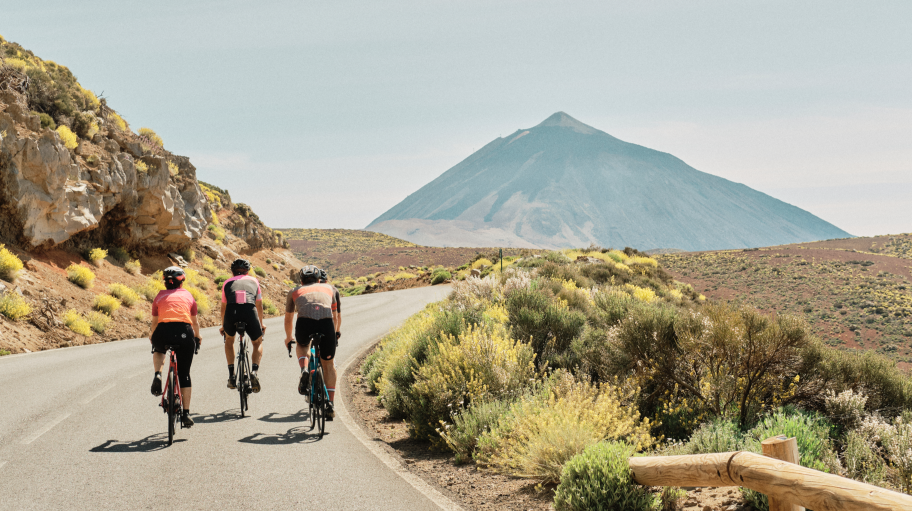
テイデ山麓の最高地点
ハイライト • 山道
翻訳者 Google •
役立つ情報 は

景色の良い山道
ハイライト (セグメント) • 山道
役立つ情報 は

今すぐサインアップして、こんな場所を発見しよう
最高のシングルトラック、ピーク、その他のエキサイティングなアウトドアスポットのおすすめを受け取ろう。
チャバオ峠
ハイライト • 山道
翻訳者 Google •
役立つ情報 は

ロス・ヒガンテス〜プエルト・デ・エルホス
ハイライト (セグメント) • 登山
翻訳を表示中
役立つ情報 は

テノ山脈を通ってプエルト・デ・ラ・クルスへ向かう景観ルート
ハイライト (セグメント) • トレイル
Small Intestine Tour to Puerto de la Cruz
Very scenic serpentine tour along the Teno mountains (pass height 1,120 m), along the coast and …
翻訳者 Google •
役立つ情報 は





コミュニティからのヒント

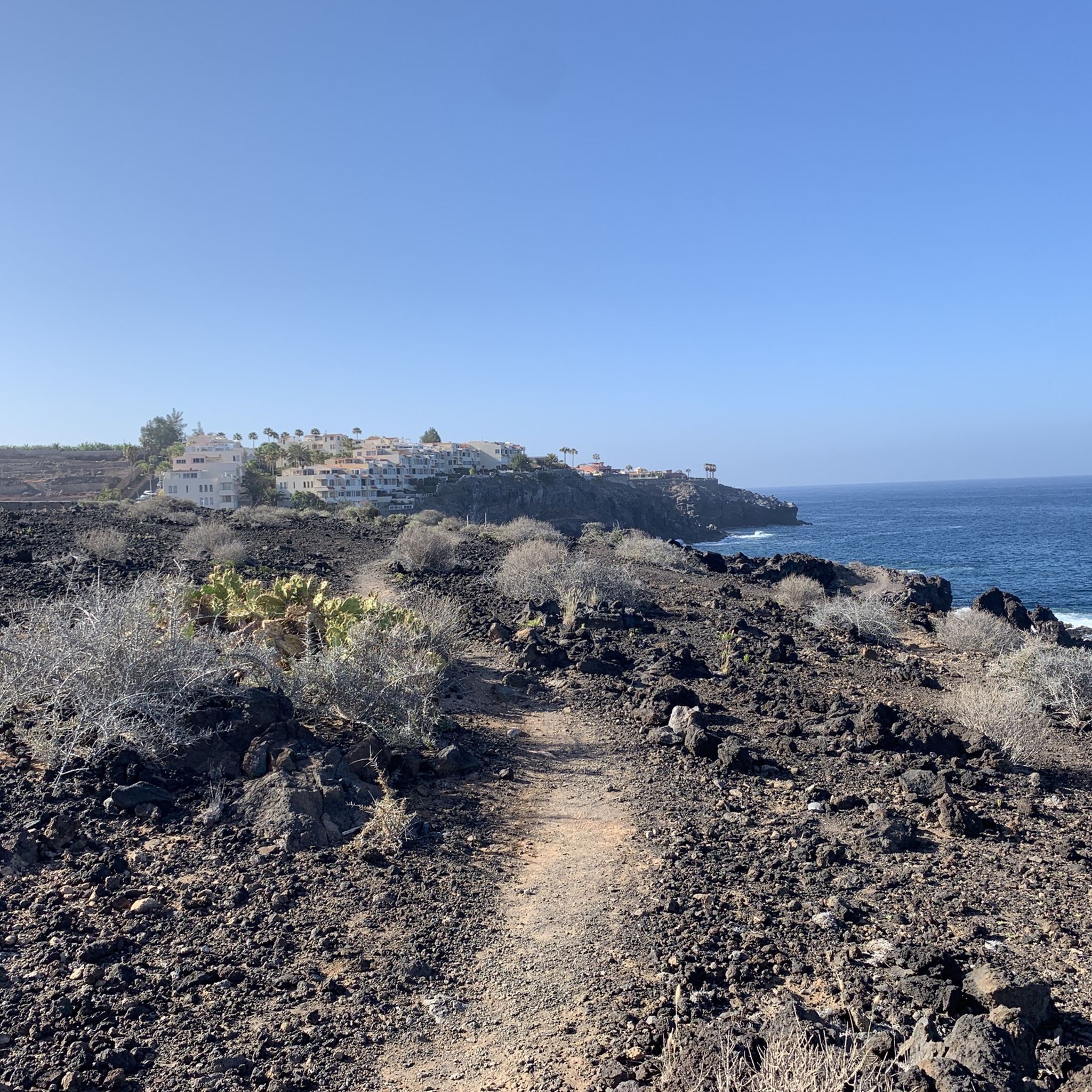
• 全ての登りは均一ではありません。ロス・ヒガンテスからタマイモまでの最初の、非常にテクニカルな区間(TF-454道路)は、勾配が定期的に10〜12%を超える、アスファルトの地獄のような坂道で、黒い玄武岩の岩からの太陽の反射によってさらに悪化します。サンティアゴ・デル・テイデでの短い平坦部の後、エルホス峠までの最後の4キロメートル(TF-82道路)は、約6〜8%の安定したアルパインのヘアピンカーブです。
0
0
テネリフェ島で最も容赦のない、連続したロードクライムの1つです。ロス・ヒガンテス・マリーナの海抜0メートルからスタートし、エルホス峠の海抜1117メートルで終わります。これは27キロメートル以上の絶え間ない上り坂で、特に装備を積んで走行する場合、ギアの硬さとサイクリストのコンディションを容赦なく検証します。
0
0

You can take some nice tours here, but it's also very busy.
0
0

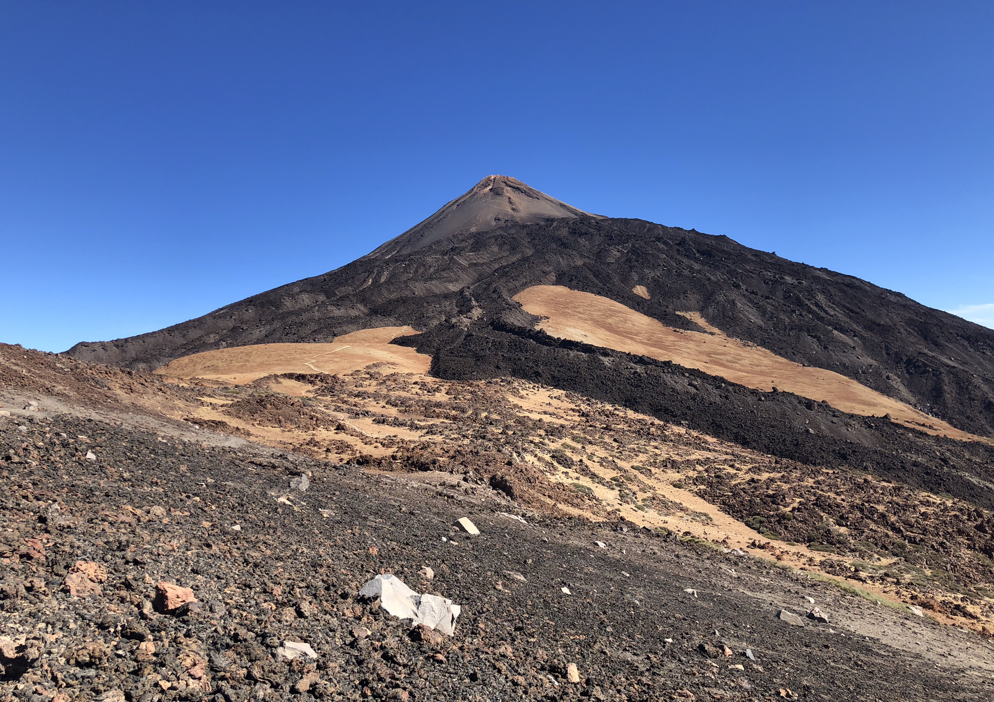
What a giant Teide is becomes clear here at the foot of the mountain. The sign gives it away: you are already at an altitude of 2,250 meters at this point. And yet you have to tilt your head back to look up at the crater of the island volcano and thus at the highest Spanish mountain.
1
0

One of the most beautiful slopes on the island. Recommended in every respect.
0
0

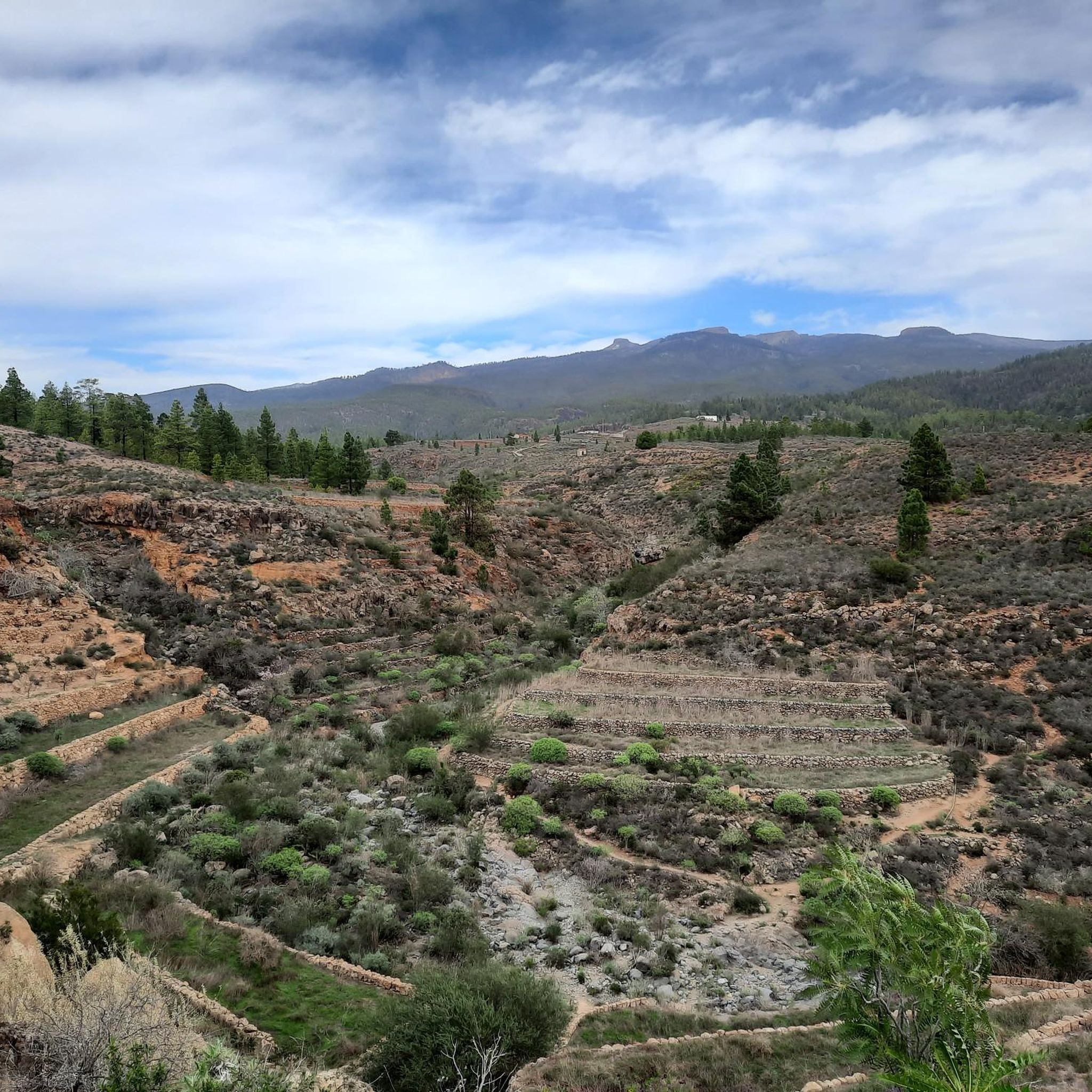
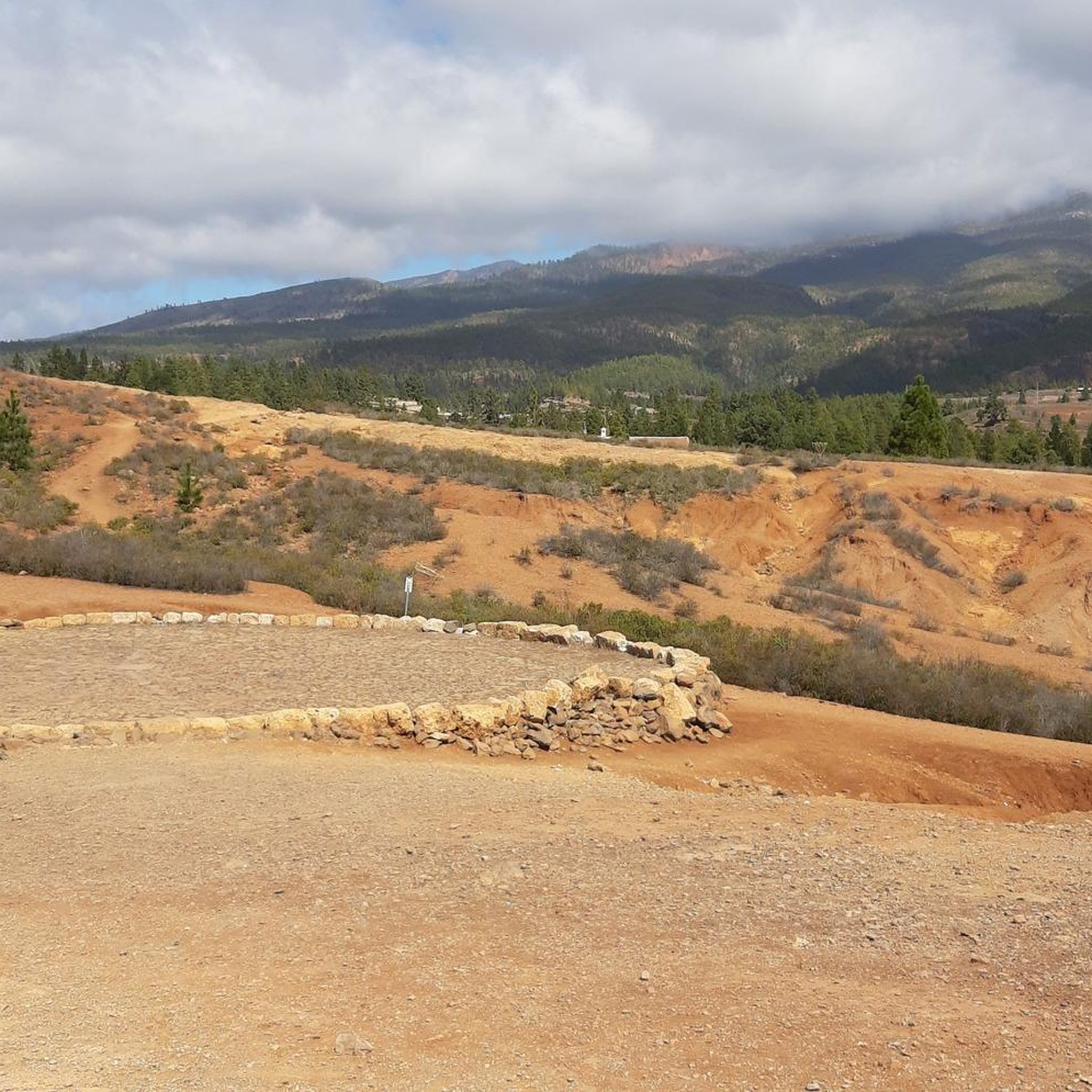
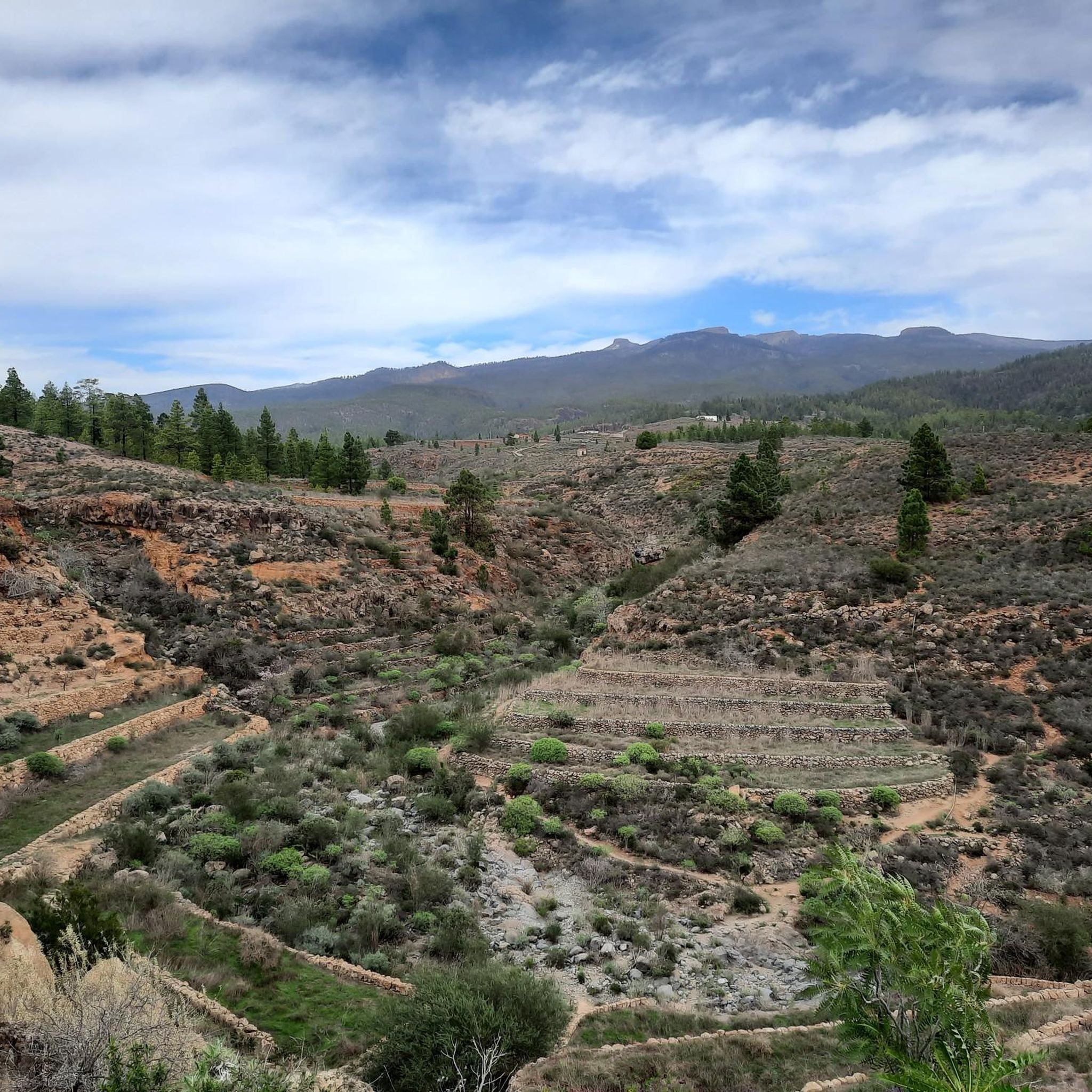
Called Chavao, it is one of the passes that reaches from the towns on the side of the mountain towards Montaña del Cedro.
1
0

This is the highest point at the base of Teide, that is, the highest point in the national park (not counting the upper dome of the volcano). This can only be climbed by cable car or by walking along an extremely steep path, so this is the end of the ascent to Teide by bike.
0
0

And again with outside help..... 🚍 Small Intestine Tour to Puerto de la Cruz Very scenic serpentine tour along the Teno mountains (pass height 1,120 m), along the coast and along the north flank of the Teide with a total of 90 (!) stops from Los Gigantes to Puerto de la Cruz (port of the cross) on the green north side of Tenerife. The way was the goal.
0
0
アデヘでのの人気観光スポット

komootモバイルアプリでインスピレーションを得よう


さらに探索
これらのガイドでさらに壮大な山道を見てみましょうアデヘでの:
