ビリャマレアの天然記念物・トップ11
ビリャマレアが誇る美しい風景を見てみたいなら、ビリャマレアの素晴らしい天然記念物・トップ11
に行ってみましょう。あなたにぴったりの場所が見つかるよう、素晴らしい天然記念物を探索するために必要なすべての情報を集めました。次のアウトドアの冒険に出かける計画の参考にしましょう。
最終更新日: 10月 18, 2026
カミノ・ナトゥラル・トゥリア=カブリエル(区間)
ハイライト (セグメント) • トレイル
翻訳者 Google •
役立つ情報 は

El Moluengo
ハイライト • 山頂
翻訳者 Google •
役立つ情報 は
今すぐサインアップして、こんな場所を発見しよう
最高のシングルトラック、ピーク、その他のエキサイティングなアウトドアスポットのおすすめを受け取ろう。
ミラドール・ペーニャ・アスル
ハイライト • 展望台
翻訳者 Google •
役立つ情報 は
ミラドール・オス・デル・ラボ・デ・ラ・サルテン
ハイライト • 展望台
翻訳者 Google •
役立つ情報 は

ミラドール・デ・ラ・フォンセカ
ハイライト • 展望台
翻訳者 Google •
役立つ情報 は
無料でサインアップして、さらに多くの自然記念物を発見しましょう ビリャマレアでの。
すでにアカウントをお持ちですか?
無料アカウントで今日から始めよう
次の冒険が待っています。

コミュニティからのヒント

It is a mountain peak located in the vicinity of the Valencian municipality of Villargordo del Cabriel, in the enclave of the Hoces del Cabriel Natural Park, a privileged natural environment that serves as a border with the neighboring region of Castilla – La Mancha. This peak has an altitude of around 1040 m and from its summit it is possible to obtain privileged views of the Sierra del Rubial to which this rocky promontory belongs. The panoramic view offered from this point allows you to see all the towns in the Requena-Utiel region in which this Natural Park is included. Likewise, from the Moluengo peak it is possible to see the depression of the Cabriel River and the neighboring plains of Cuenca. It is possible to go up to the Moluengo peak and cross the privileged natural environment that surrounds it thanks to one of the routes that cross the Hoces del Cabriel Natural Park, known as the yellow route, which starts from the town of Villargordo del Cabriel and leads the traveler to the top of Moluengo. Along this itinerary, which has an extension of 16 km, it is possible to visit places such as the town of Moluengo, the Fonseca viewpoint, the Oliva fountain or the Vadocañas bridge, over the waters of the Cabriel river and which constitutes the point at which the route ends.
0
0

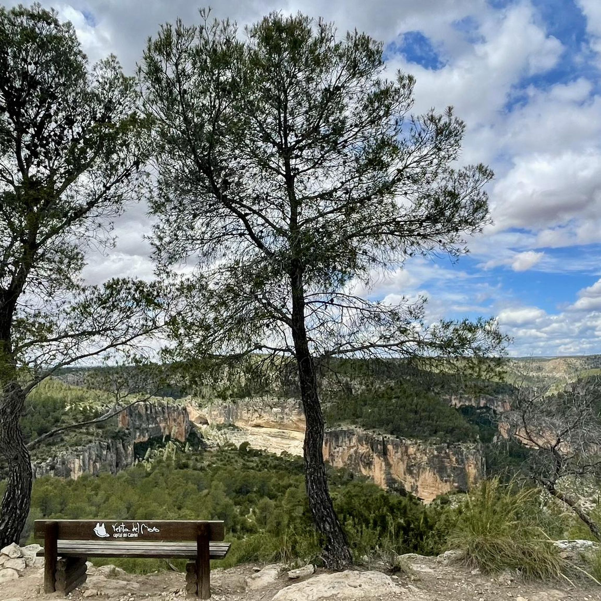
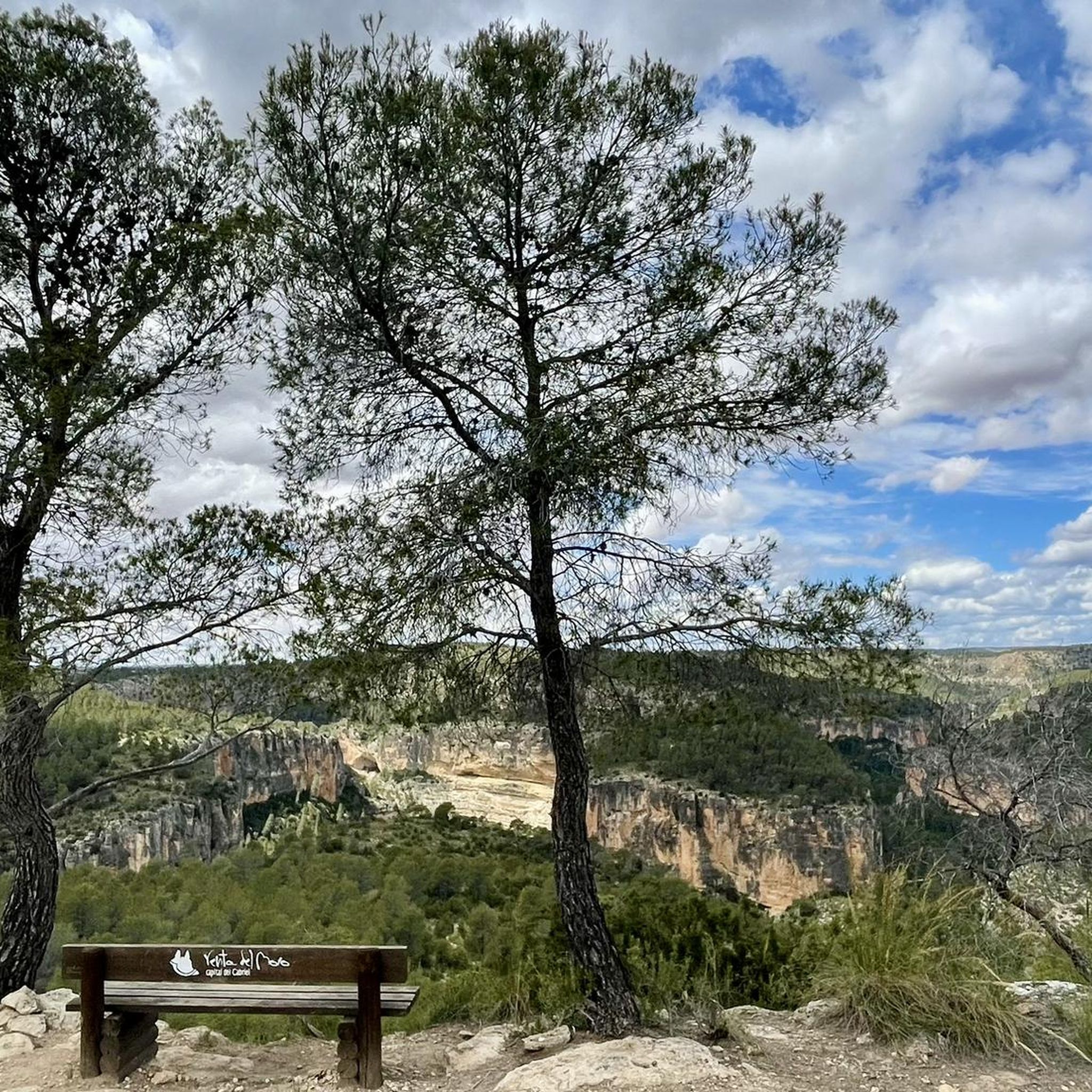
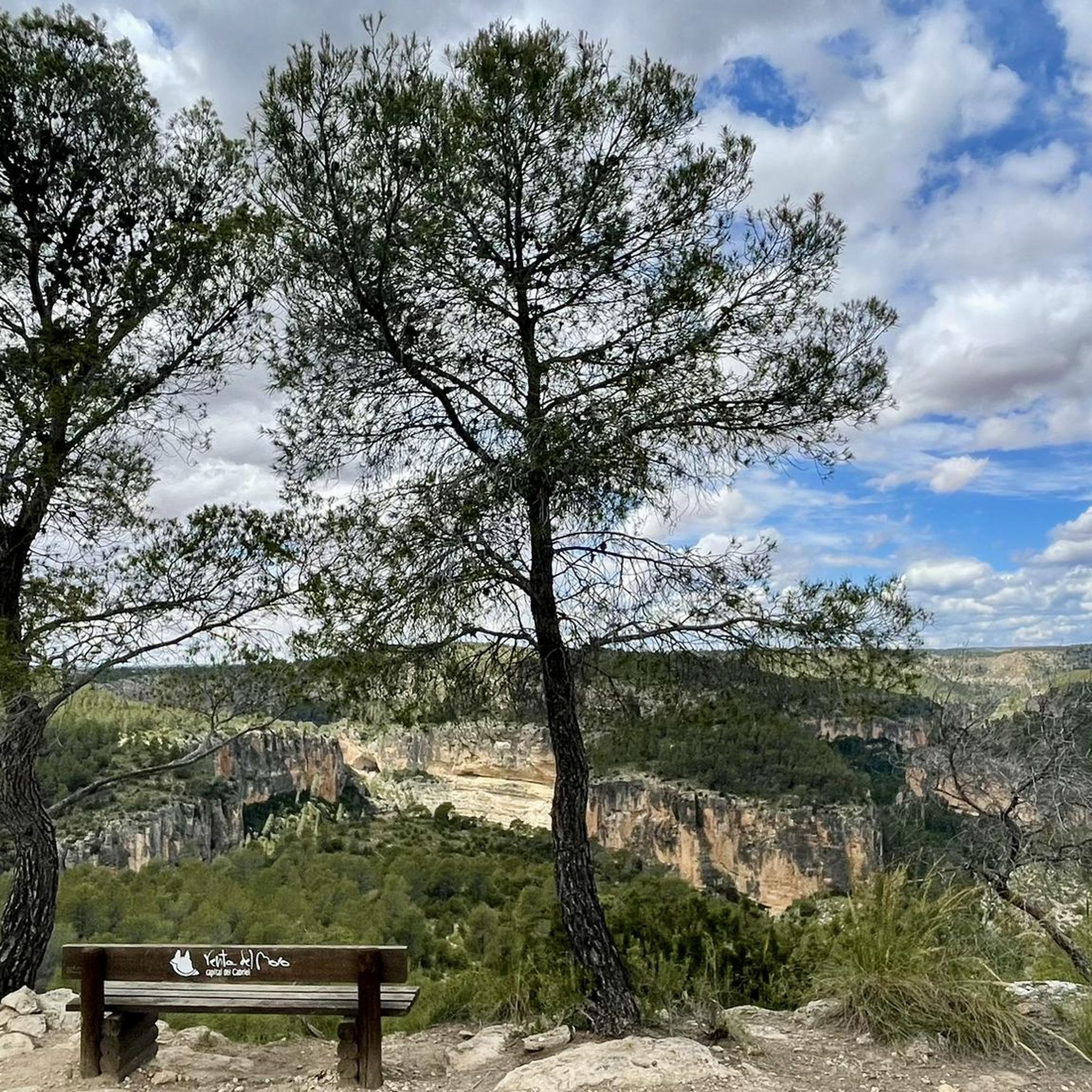
If you go around the Fuente de Oliva counterclockwise (which I recommend), this is the second viewpoint and the first where you can see the Rio Cabriel in the gorges below beautiful cliffs. Continue to the right of the first bench along the cliff, and you will find a second bench and more beautiful views.
1
0
I recommend doing the Fuente de Oliva tour counterclockwise, so the views become more and more beautiful. Here this viewpoint is the first in the series, we see the Rio de Cabriel on the right and the beautiful rocks in the distance on the right. We begin to guess the gorges on the left.
2
0

One of the panoramic points of the Fuente de Oliva route with beautiful views of the Cabriel river valley and the Hoces del Cabriel Natural Park with its striking "cuchillares"
0
0
Viewpoint of the Fuente de Oliva route (PR-CV 344) with beautiful views of the gorges of the Cabriel River and its impressive cliffs. The arrival path is completely along a forest track and is a very pleasant and pleasant route with a lot of trees.
0
0
Top of the peak "El Moluengo" at 1023 m above sea level, highest point of the Natural Park of Las Hoces del Cabriel. It allows to appreciate beautiful views to all the valley of the Cabriel, the province of Valencia and the one of Cuenca.
4
0
One of the panoramic points of the Fuente de Oliva route with beautiful views of the Cabriel river valley and the Hoces del Cabriel Natural Park with its striking "cuchillares"
2
0
Viewpoint of the Fuente de Oliva route (PR-CV 344) with beautiful views of the gorges of the Cabriel River and its impressive cliffs. The arrival path is completely along a forest track and it is a very pleasant and pleasant route with many trees.
3
0
ビリャマレアでのの人気観光スポット

komootモバイルアプリでインスピレーションを得よう


さらに探索
これらのガイドで、最高の洞窟を探す範囲を広げましょうビリャマレアでの:
