ビリャマレア周辺のアトラクション&必見スポット - トップ20
ビリャマレアには必見のスポットがたくさんあります。ハイキング愛好家やサイクリング愛好家の方は、ぜひビリャマレアを探索してこのエリアにある20
の隠れたスポットを訪れてみてください。このエリアの必見スポットを確認し、次の冒険に出かける計画を立てましょう。
最終更新日: 10月 9, 2026
バドカーニャス橋
ハイライト • 橋
翻訳者 Google •
役立つ情報 は

カミノ・ナトゥラル・トゥリア=カブリエル(区間)
ハイライト (セグメント) • トレイル
翻訳者 Google •
役立つ情報 は
今すぐサインアップして、こんな場所を発見しよう
最高のシングルトラック、ピーク、その他のエキサイティングなアウトドアスポットのおすすめを受け取ろう。
El Moluengo
ハイライト • 山頂
翻訳者 Google •
役立つ情報 は
Venta de Vadocañas
ハイライト • 歴史的な場所
翻訳者 Google •
役立つ情報 は
ラ・イゲラ - リオ・カブリエル
ハイライト • 川
翻訳者 Google •
役立つ情報 は
無料でサインアップして、さらに多くの観光スポットを発見しましょう ビリャマレアでの。
すでにアカウントをお持ちですか?
無料アカウントで今日から始めよう
次の冒険が待っています。

コミュニティからのヒント

The bridge is built of carved stone and is founded with the same rocks that can be found on the banks of the river. Its single eye has about 33 m of span, making it one of the largest bridges of its kind not only in Spain, but also on the European continent.
0
0
Vadocañas Bridge It is a viaduct of Roman origin that connects the regions of Cuenca and Valencia passing over the waters of the Cabriel in a protected space known as the Hoces del Cabriel Natural Park – cataloged as a Natural Reserve on its La Mancha slope.
0
0
It is a mountain peak located in the vicinity of the Valencian municipality of Villargordo del Cabriel, in the enclave of the Hoces del Cabriel Natural Park, a privileged natural environment that serves as a border with the neighboring region of Castilla – La Mancha. This peak has an altitude of around 1040 m and from its summit it is possible to obtain privileged views of the Sierra del Rubial to which this rocky promontory belongs. The panoramic view offered from this point allows you to see all the towns in the Requena-Utiel region in which this Natural Park is included. Likewise, from the Moluengo peak it is possible to see the depression of the Cabriel River and the neighboring plains of Cuenca. It is possible to go up to the Moluengo peak and cross the privileged natural environment that surrounds it thanks to one of the routes that cross the Hoces del Cabriel Natural Park, known as the yellow route, which starts from the town of Villargordo del Cabriel and leads the traveler to the top of Moluengo. Along this itinerary, which has an extension of 16 km, it is possible to visit places such as the town of Moluengo, the Fonseca viewpoint, the Oliva fountain or the Vadocañas bridge, over the waters of the Cabriel river and which constitutes the point at which the route ends.
0
0

The cycling adventure leaves Los Cárceles along the river plain, passes the Barranco de la Vida and goes up a forest track for a few kilometers to avoid the narrowest meanders of the canyon. In this section there are paths near the shore of the Cabriel, marked with the GR-66 signs, but some are not cyclable for gravel bicycles and it is more convenient to go around the mountain. The climb is about four kilometers, to the agricultural fields of Los Armalletes, then the route takes a forest track to the right and goes down to Venta de Vadocañas, one of the historic passes between La Mancha and Valencia. The other was the Pajazo bridge, which is now submerged in the waters of the Contreras reservoir. The Vadocañas bridge is monumental, it has an eye of 33 light meters and shows an extraordinary work of ashlar masonry, the origin is Roman, although the current construction is from the 16th century. “Cars and people pass by. The eye has one hundred and twenty feet in a very long hole. They claim to be the largest and best and with the largest and largest stones in the kingdom, and they pass beasts, and everything else, from Toledo and other parts to Valencia and Requena where the customs is. On the Valencian shore there are signs for the Turia-Cabriel Nature Trail towards Villargordo del Cabriel. The climb is long, you have to climb again to the agricultural fields of La Plana along the rugged slopes of the Sierra del Rubial, it is a good time to see mountain goats, deer and wild boar. On Mount Moluengo there is a non-cyclable section, known as Senda de la Cueva de los Ladrones, and before arriving there is a detour on the left that crosses the mountain range along a forest track with good cyclability and connects with the Nature Trail in the ravine. from Los Pocicos, following the red milestones until the end of the stage between the vineyards of Villargordo del Cabriel.
0
0

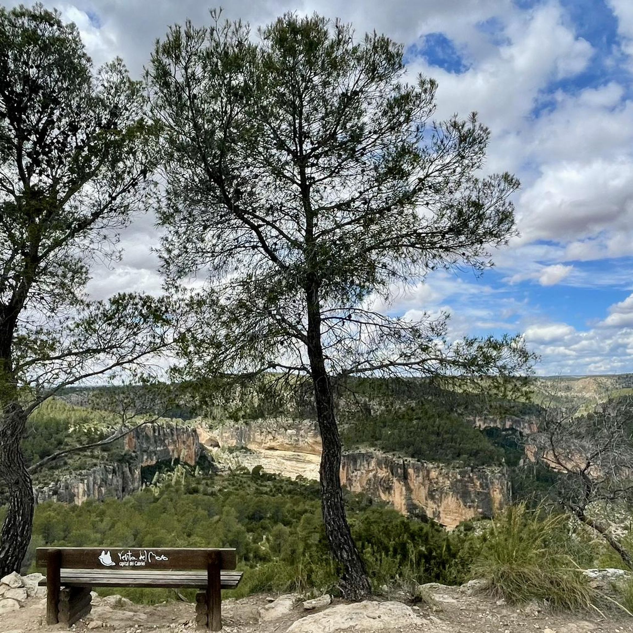
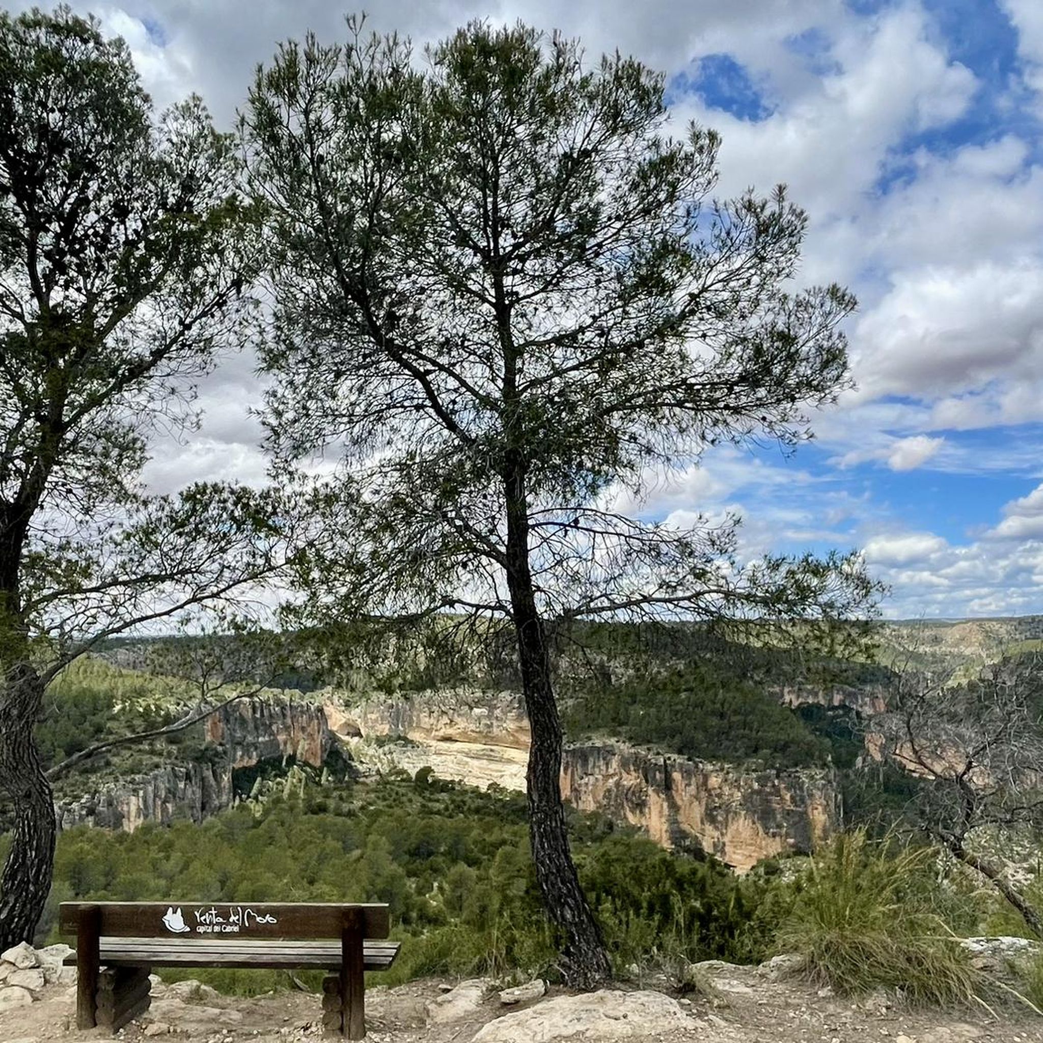
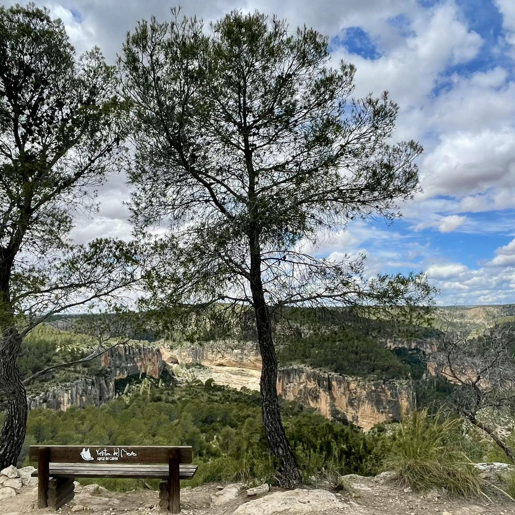
Top of the peak "El Moluengo" at 1023 m above sea level, highest point of the Natural Park of Las Hoces del Cabriel. It allows to appreciate beautiful views to all the valley of the Cabriel, the province of Valencia and the one of Cuenca.
4
0
Top of the mountain "El Moluengo" at 1023 meters above sea level with beautiful views of the entire Cabriel valley, the provinces of Valencia and Cuenca.
3
0
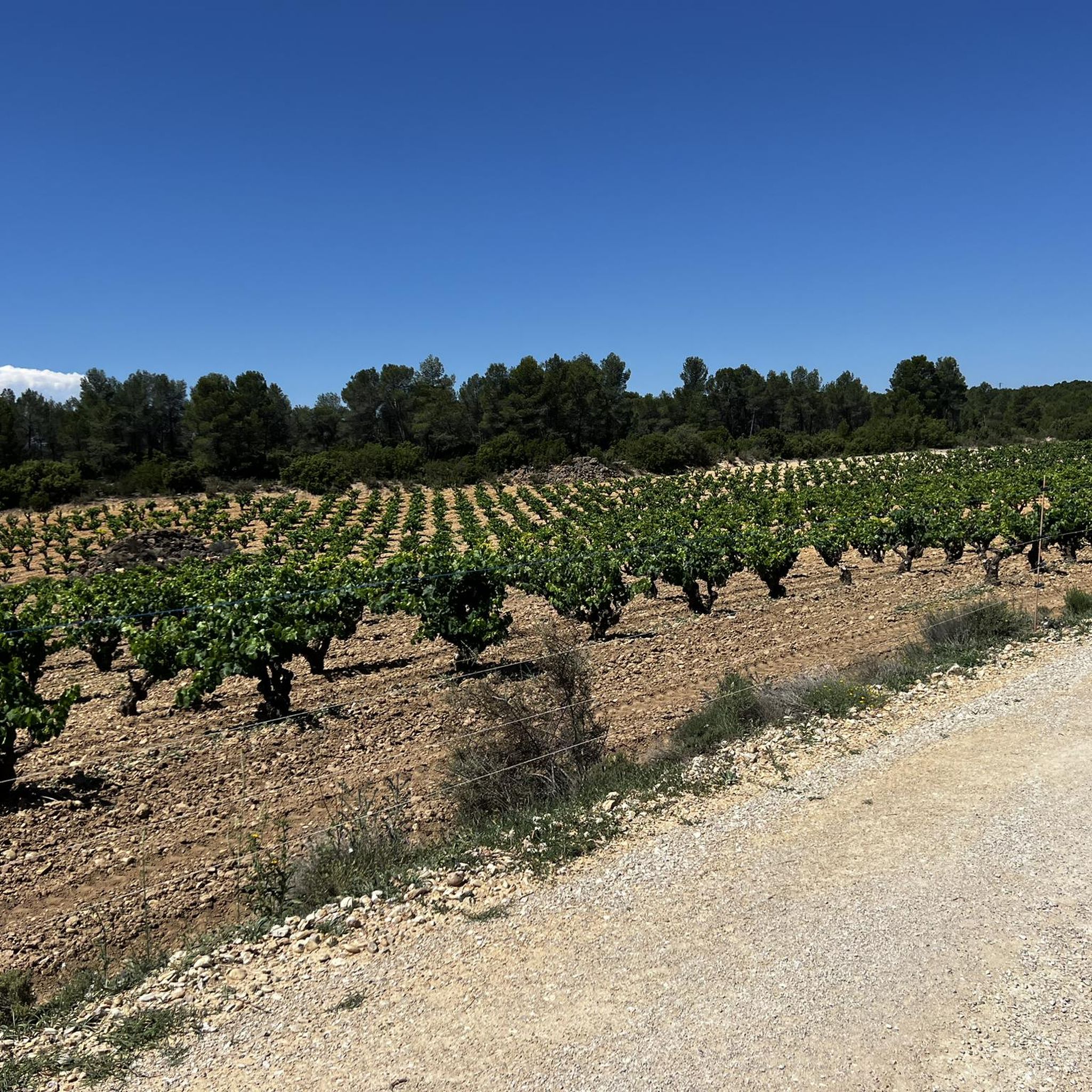
With its more than 121 km of route, the Turia – Cabriel Nature Trail manages to unite two of the most important rivers in the province of Valencia: the Turia and the Cabriel. This itinerary is protected by two natural parks: the Turia Natural Park and the Hoces del Cabriel Natural Park. This particular section begins (or ends) at the Vadocañas bridge over the Cabriel River. It is a gravel road in excellent condition with gentle slopes and surrounded by vegetation. Ideal for cycling or touring it by mtb or gravel bike.
3
0
Located on the Cabriel River, it unites the provinces of Cuenca and Valencia. Its construction dates back to the 16th century and still retains its original form. A bridge of great cultural, historical and scenic interest that also marks the beginning-end of the Turia-Cabriel Nature Trail.
2
0
ビリャマレアでのの人気観光スポット

komootモバイルアプリでインスピレーションを得よう


さらに探索
まだ探しているハイライトが見つかりませんか?他の地域のトップアトラクションのガイドを見てみましょう:
