サラレスの天然記念物・トップ20
サラレスが誇る美しい風景を見てみたいなら、サラレスの素晴らしい天然記念物・トップ20
に行ってみましょう。あなたにぴったりの場所が見つかるよう、素晴らしい天然記念物を探索するために必要なすべての情報を集めました。次のアウトドアの冒険に出かける計画の参考にしましょう。
最終更新日: 10月 4, 2026
カニリャス・デ・アセイトゥノの吊り橋
ハイライト • 橋
翻訳者 Google •
役立つ情報 は

ラ・マロマ山頂
ハイライト • 山頂
翻訳者 Google •
役立つ情報 は

今すぐサインアップして、こんな場所を発見しよう
最高のシングルトラック、ピーク、その他のエキサイティングなアウトドアスポットのおすすめを受け取ろう。
エル・サルティージョの滝
ハイライト • 滝
翻訳を表示中
役立つ情報 は

エル・フエルテ峰
ハイライト • 山頂
翻訳を表示中
役立つ情報 は

翻訳者 Google •
役立つ情報 は

無料でサインアップして、さらに多くの自然記念物を発見しましょう サラレスでの。
すでにアカウントをお持ちですか?
無料アカウントで今日から始めよう
次の冒険が待っています。
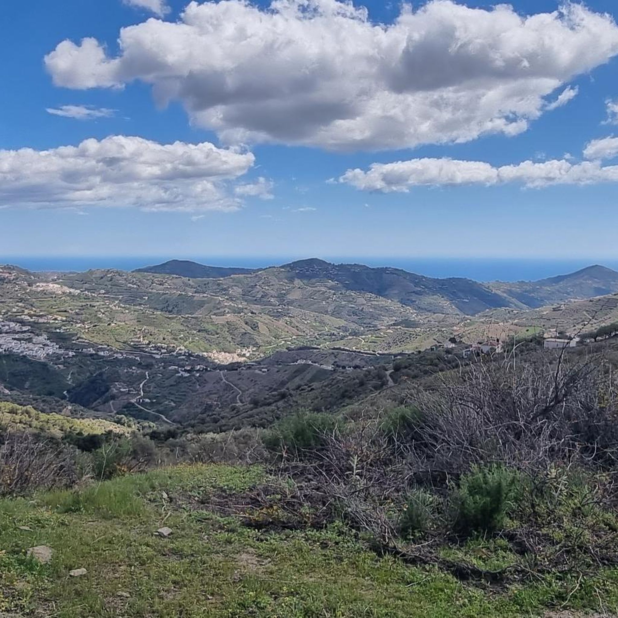
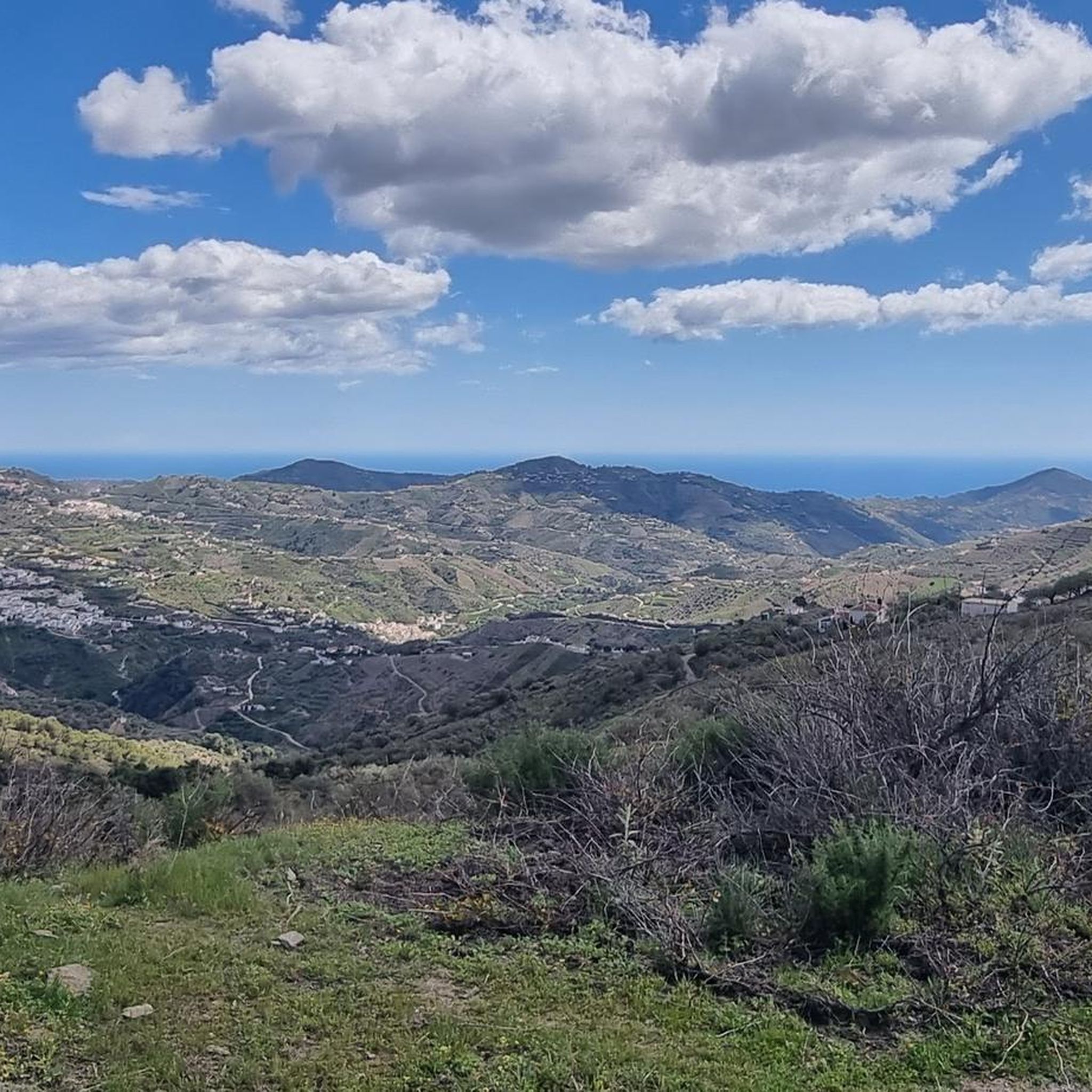
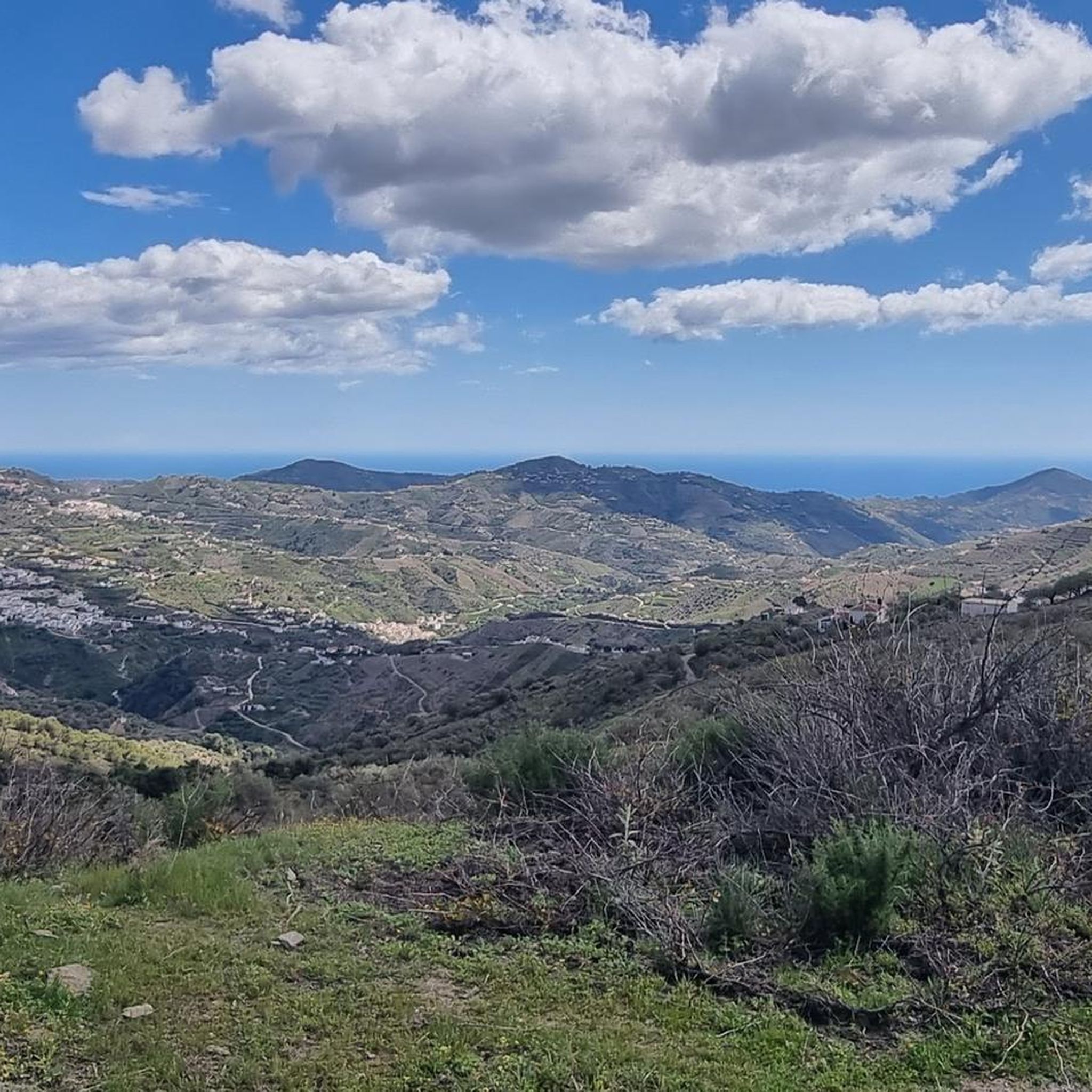

コミュニティからのヒント


下りはいくつかの場所で非常に急で、高い段差があります。数カ所で道を見つけるのが難しいですが、Komootがあれば可能です。速度は時速2kmの場合もあります。
0
0

For this section, you'll definitely need to be sure-footed and have a head for heights. Some sections are very narrow, and the drop is quite steep. ;) If that's okay with you, the trail is really cool and a lot of fun!
1
0
Take plenty of water and good shoes. A great hike, with great views.
0
1
The views are spectacular; the climb is worth it.
0
2

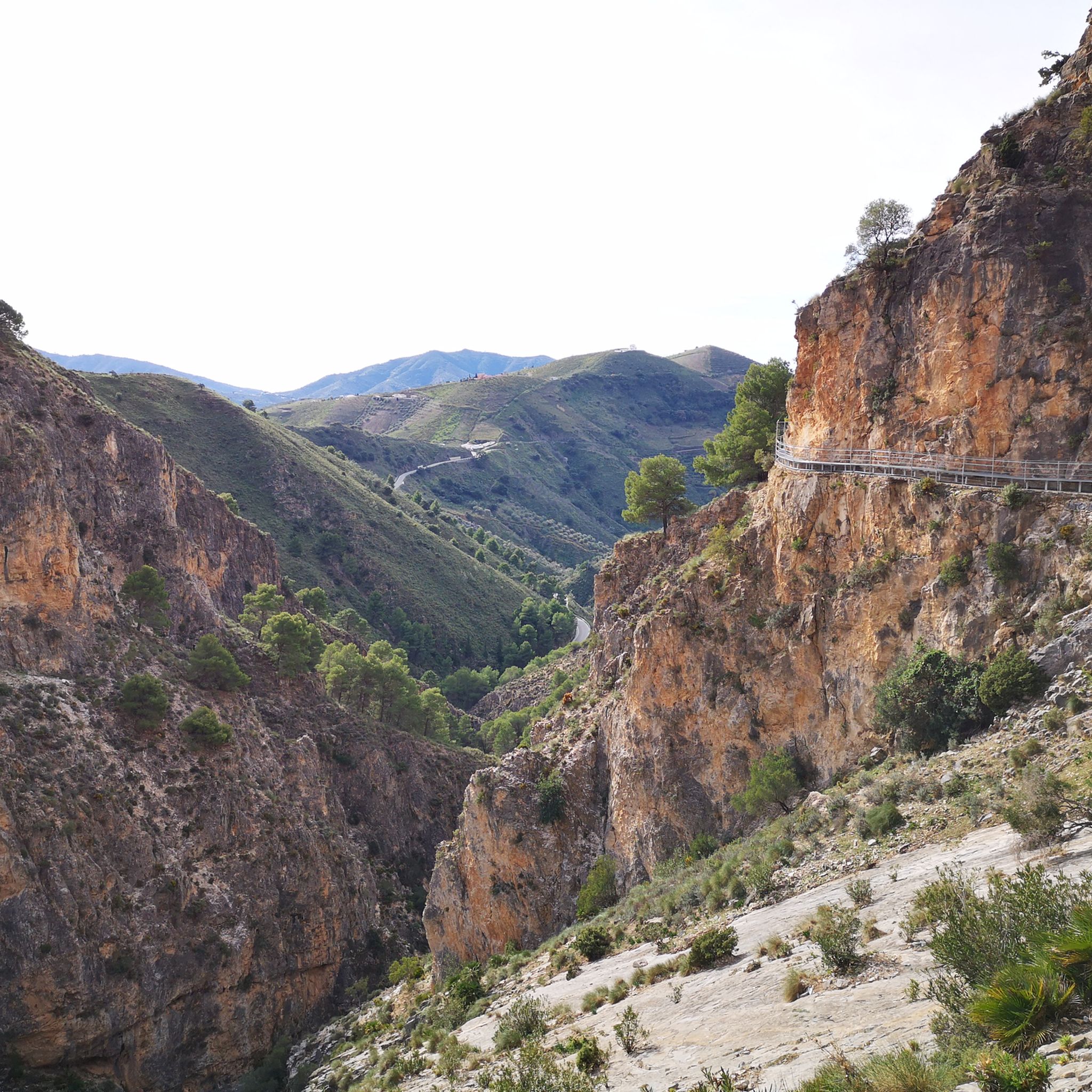
The new suspension bridge is the highlight of this hike. You should not be afraid of heights, but the bridge is very stable and sways very little. But the path there from Canillas de Aceituno is also just beautiful and relatively flat.
4
0

There is a beautiful suspension bridge over the gorge with the waterfall. I didn't find a path to the waterfall itself
1
2

The path to the waterfall is closed shortly after the junction to the suspension bridge! As of: March 2024
2
2
サラレスでのの人気観光スポット

komootモバイルアプリでインスピレーションを得よう


さらに探索
これらのガイドで、最高の洞窟を探す範囲を広げましょうサラレスでの:
