ムアリンチの天然記念物・トップ4
Moorlinch周辺の最高の自然記念物は、ユニークな生態学的および地質学的特徴を持つ地域であるサマセット・レベルズ・アンド・ムーアズ内にあります。この景観は、顕著な丘、広大な湿地帯、そして多様な自然保護区を特徴としています。この地域では、野生生物を観察し、変化に富んだ自然の地形を鑑賞する機会が提供されています。
Moorlinch周辺の最高の自然記念物
- 最も人気のある自然記念物は、宗教的建造物であり自然記念物でもあるバロー・ランプです。この指定記念物には、頂上にグレードI指定の廃墟となった教会があります。高さ79フィートで、平坦な土地から際立ち、パノラマビューを提供しています。
- もう一つの必見スポットは、鉄器時代の丘の砦であり自然の聖域であるダンドン・ビーコン自然保護区です。この小高い土地の小さなエリアは、古代のオーク林に囲まれ、草原で覆われており、レベルズ全体を見渡す広大な眺めを提供しています。
- 訪問者は、展望台であり特別科学的関心地域でもあるウォルトン・ヒルも気に入っています。この丘は、標高269フィートの頂上を持つ平坦な景観の上にそびえ立ち、優れた眺めと蝶の生息地を提供しています。
- Moorlinchは、その顕著な丘、広大な湿地帯、そして多様な自然保護区で知られています。この地域は、高い展望台から重要な野生生物の生息地まで、さまざまな自然記念物を見て探索する機会を提供しています。
- Moorlinch周辺の自然記念物は、komootコミュニティによって高く評価されており、訪問者から13件の「いいね」と29枚の写真が共有されています。
最終更新日: 9月 7, 2026
Burrow Mump
ハイライト • 宗教的な場所
役立つ情報 は

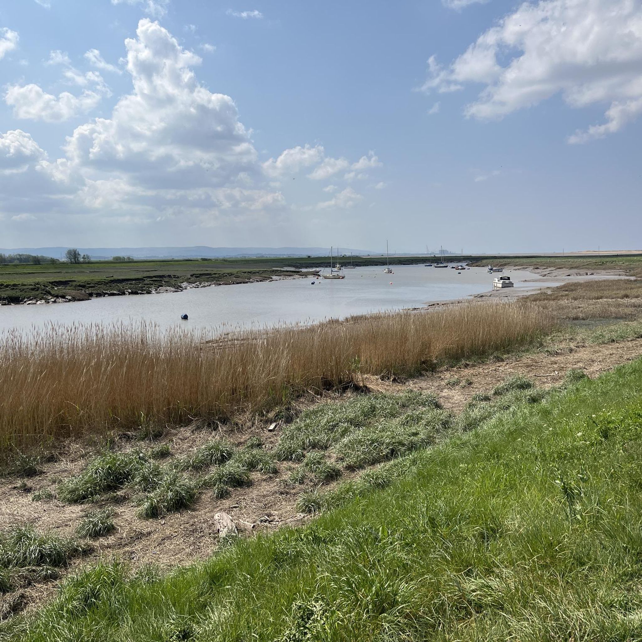
ダンドン・ビーコン自然保護区
ハイライト • 自然記念物
役立つ情報 は

今すぐサインアップして、こんな場所を発見しよう
最高のシングルトラック、ピーク、その他のエキサイティングなアウトドアスポットのおすすめを受け取ろう。
ウォルトン・ヒル
ハイライト • 展望台
役立つ情報 は
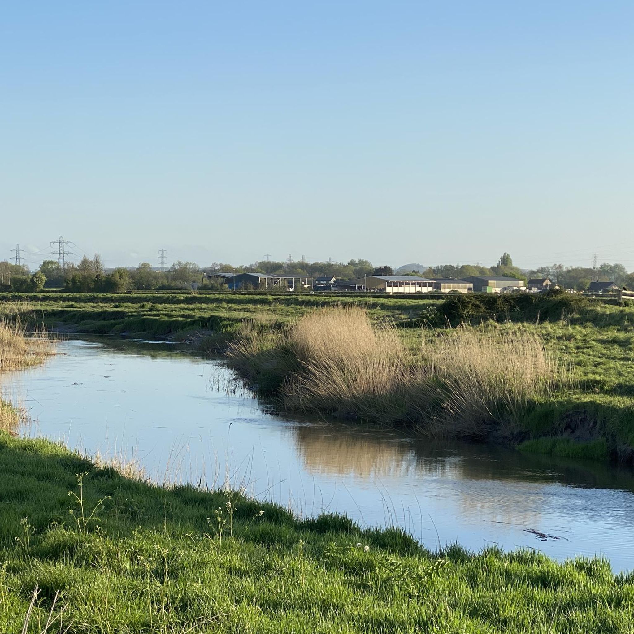
パレット川でのワイルドスイミング
ハイライト • 川
役立つ情報 は

無料アカウントで今日から始めよう
次の冒険が待っています。


コミュニティからのヒント

Dip your feet or go all in for some wild swimming in the River Parrett. There are small jetties near the riverside path.
0
0
Dip your feet or go all in for some wild swimming in the River Parrett. There are jetties along the riverside path.
0
0

Dundon Hill or Dundon Beacon is a Iron Age hill fort and nature haven. Managed by the Somerset Wildlife Trust this small area of higher land is ringed by ancient oak woodland and capped with a meadow. The views from the southern end of the plateau are far reaching across the levels where you get a gap in the trees.
0
0

A Site of Special Scientific Interest and owned by the National Trust, Walton Hill was quarried in the middle ages and is now a thriving habitat for butterflies and other plants and wildlife. The hill rises above the relatively flat landscape with a summit at 269 feet (82 m) that offers excellent views. At the western end stands an old windmill, now a private residence.
0
0
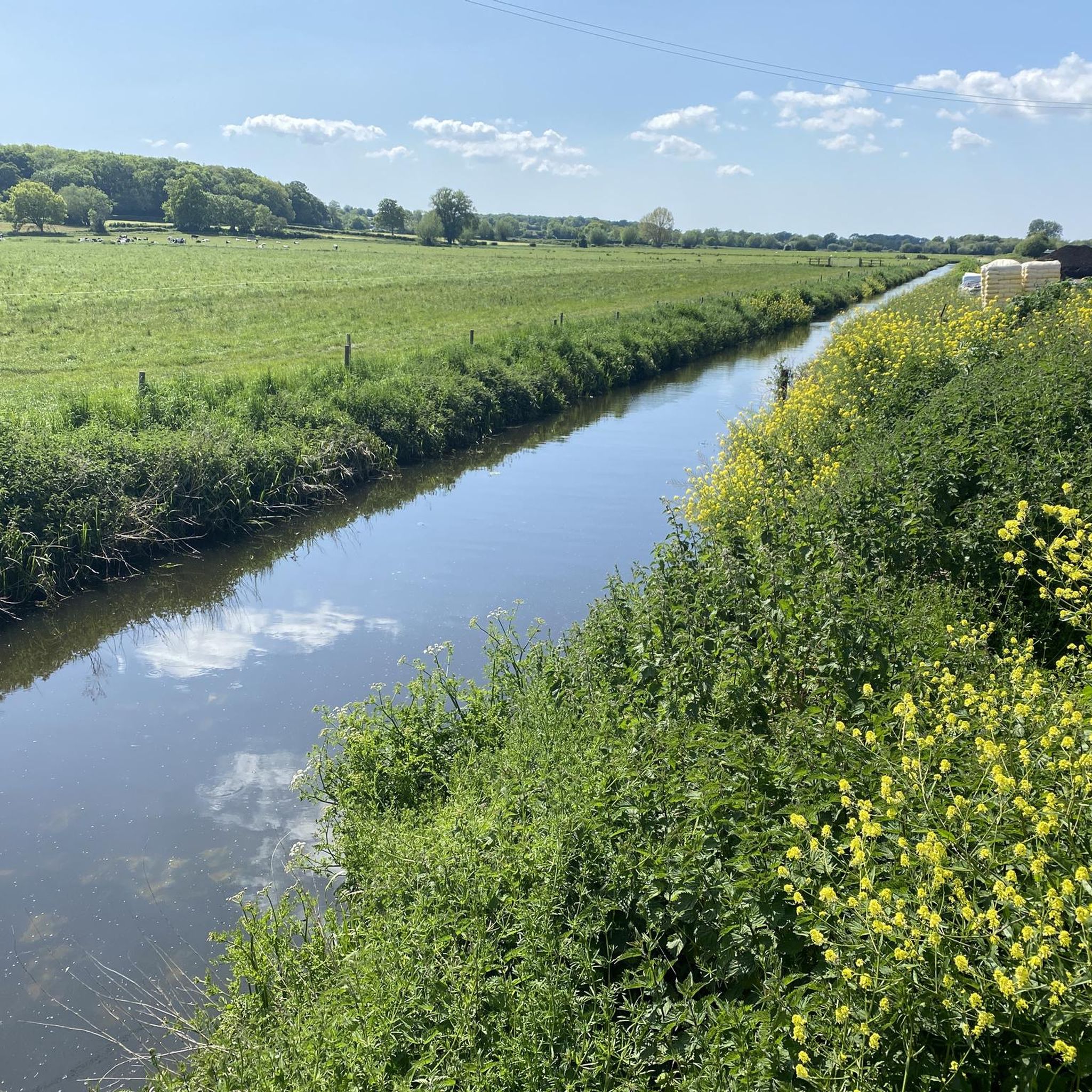
Rising above the village of Burrowbridge, this wonderfully named hill is a scheduled monument and is home to a Grade I listed ruined church on its summit. At 79 feet (24 m) high, it stands out from the flat land around and can be seen easily from the River Parrett Trail which passes by. Thanks to the Somerset Levels winter floods, Burrow Mump becomes somewhat of an island, like its cousin, Glastonbury Tor. A Norman motte and bailey castle was originally constructed here, but the only structure that remains is the impressive medieval church.
1
0
ムアリンチでのの人気観光スポット

komootモバイルアプリでインスピレーションを得よう


さらに探索
これらのガイドで、最高の洞窟を探す範囲を広げましょうムアリンチでの:
