プライヤーズハードウィックの天然記念物・トップ4
Priors Hardwick周辺の最高の自然記念碑には、歴史的な農業景観と静かな自然の特徴がユニークに融合しています。この地域は、土地を形成した中世の農業慣行の痕跡である、起伏のある「畝と溝」の景観が特徴です。Priors Hardwick自体のよう高い場所からは、周囲のウォリックシャーの田園地帯の広大な景色を眺めることができます。古代の生垣、石垣、運河沿いの小道は、この地域の自然の美しさに貢献し、地元の野生生物の生息地を提供しています。
Priors Hardwick周辺の最高の自然記念碑
- 最も人気のある自然記念碑は、地元産の赤砂岩で造られた大きな井戸がある史跡、Holy Well, Burton Dassettです。この井戸は、1534年に遡る可能性のある、起源が不明確な「聖なる井戸」と考えられています。
- もう一つ必見の場所は、自然記念碑であり展望台でもあるHarts Hillです。内径約15m、幅2mの堀を持つ円形の土塁が地面にはっきりと見られます。
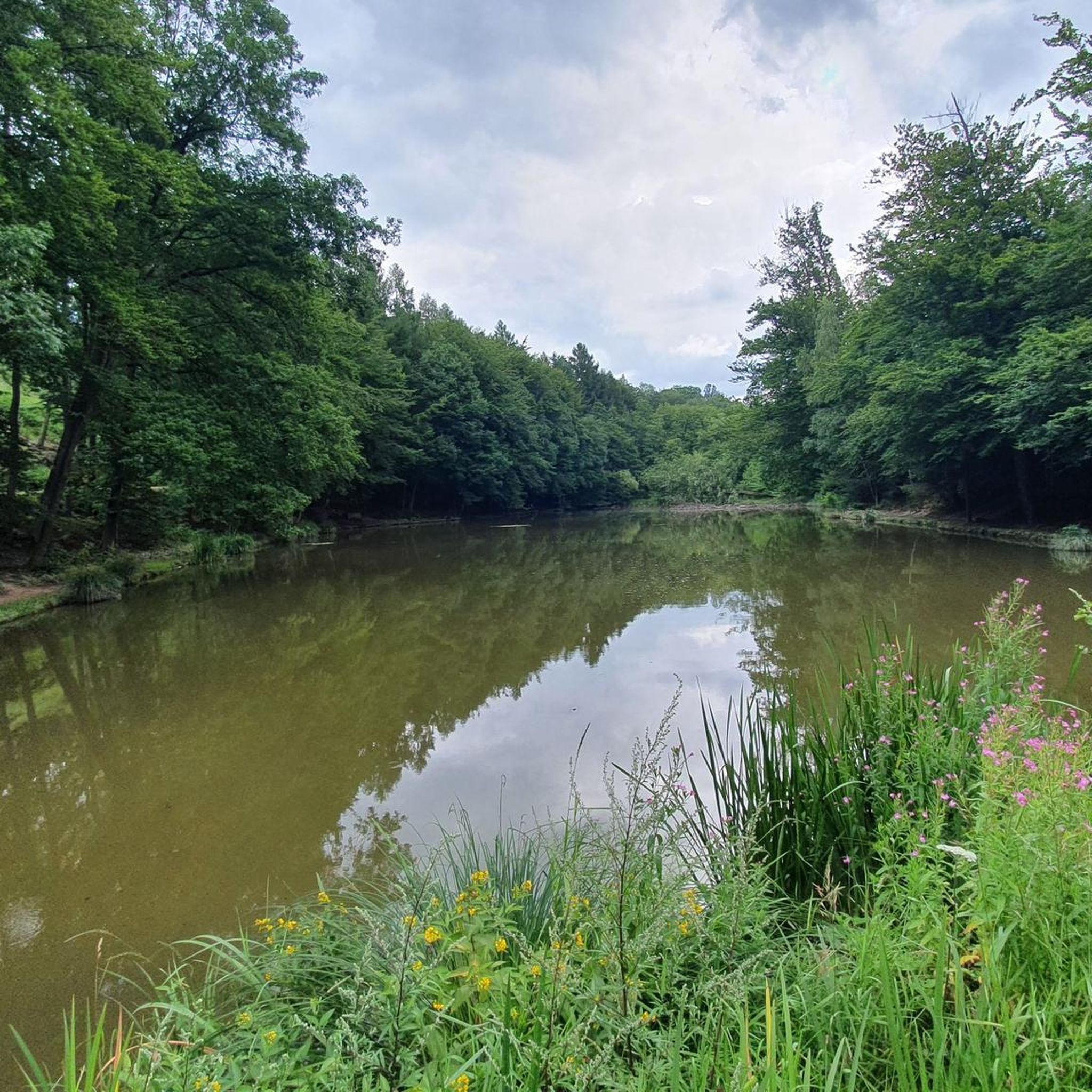
- 訪問者は、90エーカーの元石灰岩採石場から形成された自然記念碑、Bishops Bowl Lakesも気に入っています。この場所は科学的に興味深い地域として記録されており、そのブルーリアスで見つかる海洋化石で知られています。
- Priors Hardwickは、古代の生垣、石垣、景色の良い運河沿いの小道で知られています。これらの特徴は、歴史的な土塁から静かな水路まで、さまざまな自然記念碑を提供しています。
- Priors Hardwick周辺の自然記念碑は、komootコミュニティによって高く評価されており、4枚の写真と25件の「いいね!」がその魅力を物語っています。
最終更新日: 8月 23, 2026
ホーリー・ウェル(サウサム)
ハイライト • 自然記念物
役立つ情報 は

ビショップス・ボウル・レイクス
ハイライト • 自然記念物
役立つ情報 は

今すぐサインアップして、こんな場所を発見しよう
最高のシングルトラック、ピーク、その他のエキサイティングなアウトドアスポットのおすすめを受け取ろう。
無料新規登録
エッジコートの戦い
ハイライト • 展望台
役立つ情報 は
ハーツ・ヒル
ハイライト • 自然記念物
役立つ情報 は
無料アカウントで今日から始めよう
次の冒険が待っています。
ログインまたは登録
コミュニティからのヒント

It is an unusual half-moon stone structure holding the water, with three strange heads out of whose mouths the water flows down to the river.
0
0

We had to double back on ourselves slightly to see the lakes, as they were hidden behind a hedge
0
1

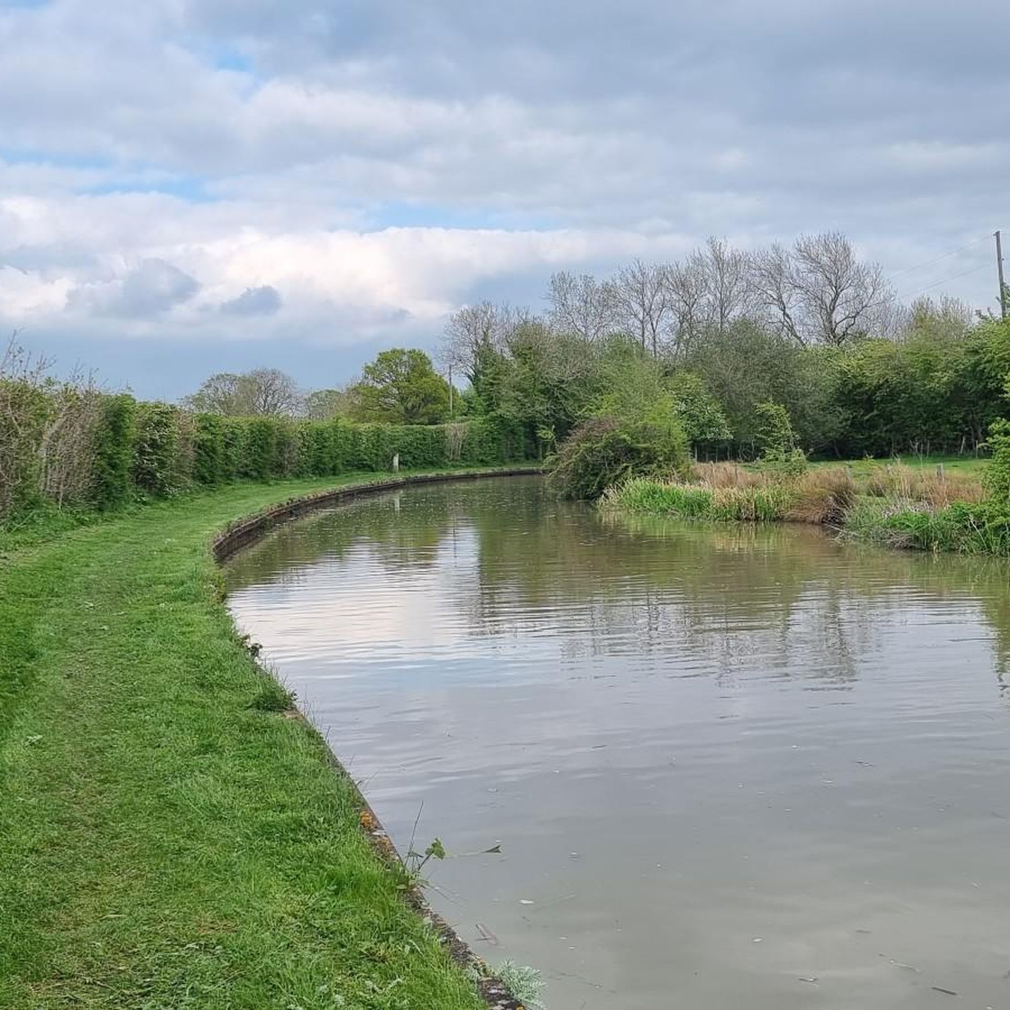
If you follow the beautiful trail that departs from Southam heading east and runs alongside the River Stowe, you will come across The Holy Well, believed to be the oldest recorded Holy Well in England. It has been there for over a thousand years, with its most recent renovation taking place almost twenty years ago.
1
0

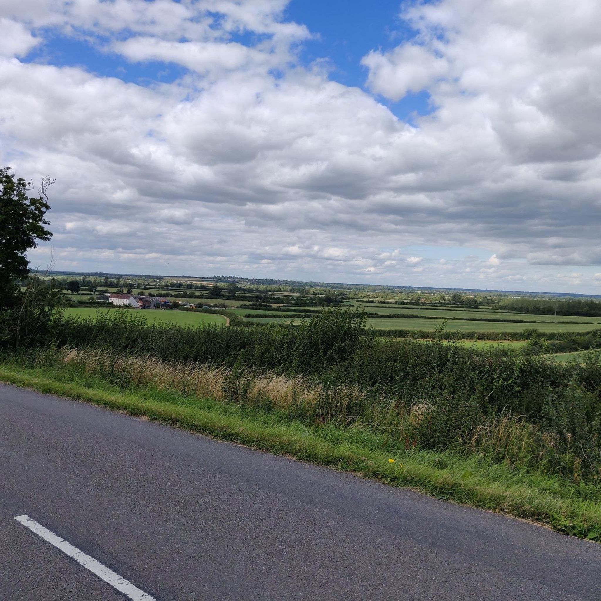
A circular earthwork is clearly visible on the ground on Harts Hill. It measures approximately 15m internal diameter, the ditch is 2m wide and the entrance (facing SE) is 2.5m across.
0
0
The site of a holy well which dates to the Medieval period, though the stone work surrounding the well dates to the Imperial period. Further restoration has taken place in the 20th century. It is situated 800m west of the church, Southam. Oldest recorded holy well in England? The first mention of the well is apparently 998, when it is mentioned in a charter to Leofwine by King Ethelred the Unready as a consequence as the term holy well per se derives from Old English halig this is probably the oldest recorded. However, it does not appear to be specifically mentioned as such. However in a Feet of Fines there is a notice in 1206 of a: “half acre land at Hallewellcul to the north” Over the next 800 years there then appear to be regular references to the well. By the 18th century there is reference to some sort of protective structure, although the date of the current structure cannot perhaps be gauged from these references. By 1701 a record notes that the Rector was exempted from keeping the well and fencing in repair: “one footway of the breadth of three feet leading from a certain stile at the bottom of an ancient enclosed ground called Bury Orchard towards Ufton by the Brook to the said well called Holy Well.” By 1760, a public footpath to the well was made permanent in an Act of Parliament and the enclosures act noting: “it is hereby further enacted and declared, That the said Well, called Holy Well, in the said Open Fields of Southam aforesaid, shall not be allotted to any of the said Proprietors, but shall be inclosed round with Posts and Rails, Three Yards at least distant from the Stone-work of the said Well, by, and at, the Expence of all the said Proprietors, and shall be kept for the Benefit of all the Inhabitants of the Parish of Southam aforesaid; and which said Posts and Rails shall, forever thereafter, be repaired and kept in Repair by, and at, the Expence of the Inhabitants of Southam aforesaid; and that the said Commissioners, or their Successors, or any three or more of them, shall assign, or lay out, a Footway from the Town of Southam aforesaid, to the said Well..” Healing eye water The main two properties, other than a possibly being better than beer, is that it was very cold but never froze and that it was good for eyes. Indeed, its powers in restoring eyes lead to a Henry Lilley-Smith establishing in 1818 an eye and ear hospital not far. Local remedies also recall how to make a tincture with the well water for eyes. The well of St Fremund? One of the possible reasons for the site being a holy well is that it was associated with the Mercian saint Fremund. The Life and Death of the Most Holy Fremund, King and Martyr by Burghard, 12th century (tr. from text in Nova Legenda Anglie ) tells how St Fremund, having been beheaded: “stood up as if nothing had happened, picked his head up off the ground, and set out with the head in his hands. The crowd were amazed at this miracle and followed in his tracks, praising God. He made his way to a spot between Itchington and Harbury, and when he got there he took a stand and thrust the point of his sword in the ground. He prayed to God for a little water to wash his head and body, and what he sought, he gained. For a spring welled up at this very spot, flowing in an unfailing stream and proving the merits of this famous martyr before all the world. He drank of its waters, he washed his wounds, he gave honour to that God in whom all live and have their being. Then turning his head to the east, he sank dead to the ground”. The Metrical Life of St Fremund by William of Ramsay, 1194×1220 (tr. from text in Pinchbeck Register 1925) repeats the story from Burghard, detailing how ‘No sooner had he wished for water than a spring appeared/ Purer than dew, clearer than crystal, finer/ Than gold, and scattering silver sands’. Later, the Life of Sts. Edmund and Fremund by John Lydgate, 1434 tells how “there sprong up a welle/ With crystal watrys the stremys gan up welle;/ And wessh away the blood that was so red,/ Which doun disttillyd from his hooly hed”. egend has it that Fremund was a son of Kind Offa of Mercia. After his death, a great battle ensued at Radford Semele against the invading Vikings in which Fremund was completely victorious. However as Fremund knelt in prayer of thanksgiving one of his own men envious of his success struck off his head. However the legend suggests that the well was not at Southam. For when his corpse stood up, picking up his head and walking away; he stopped somewhere between Harbury and Whitton, possibly Whitnash and there a miraculous well sprung up at his feet, in the water of which he washed his head then lay down and died. This would go against the view that the Southam well is the same. Well preserved fabric The first description of the site is Carlisle (1812) ‘Observations on the positions of the alien cell of Begare, and of Halywell upon Watling Street’ who describes: “a well of very fine clear water, called Holywell, or Halywell, which has always been reputed salubrious. It is… perpetually overflowing, without much variation from the seasons. It is a basin on the declivity of a rising ground. Its form is the larger section of a circle; the bottom is paved with smooth stones; and the sides are walled with the same, a little higher than the water stands, which is about two feet deep. It was formerly nearly encompassed with another wall, and upon a stone, at the mouth of the well, the words Utere, sed non abutere were inscribed.” However it was apparently in decline by the 1850s as an article written on the 6th October 1855 in the Warwickshire Advertiser describes: “on the foot road from Southam to Stoney-Thorpe, the residence of H T Chamberlain Esq., is an Ancient Well called ‘Holy Well’ now in a dilapidated condition; but even in its present state, the massive stone work, with curious and not very elegant carved head shews it to have been at one time an object of interest. Its earlier history is not clear, some asserting that it was the source from which Stoney Thorpe was supplied with water when used as a Priory ……it is a large semi-circular well about five feet deep embanked with massive stone masonry, and is supplied by a powerful spring of the Purest Water. It lies at a lower level than the Town, otherwise it might without much expense, be made most valuable for domestic and sanitary purposes. Tradition says it formally had a stone seat placed round it; was furnished with drinking vessels, and covered by an Arched Stone Roof; thus affording refreshment to the Traveller, and a pleasant resort to the health seeker. It is now proposed to restore by a public subscription, this beautiful relic of antiquity, and a considerable sum has already been promised.” This restoration is described by Freton (1890) in his The Warwickshire Feldon: a sketch of its hills and valleys, waters, famous trees, and other physical features in the Proceedings of Warwickshire Naturalists’ & Archaeologists’ Field Club, states that around 40 years ago: “I and a few enthusiastic friends undertook to clear out this old well, in the hopes that it might lead to its ultimate restoration. Our efforts as amateur navvies excited little sympathy among the rough labouring lads of the neighbourhood, who seemed to look upon us as having a slate off, and we invariably found our labour of one evening fruitless the next, so after a week’s hard work we gave it in.” Certainly when Richardson (1928) found it as: “a semicircular recess in the bank. A low retaining wall – recently renovated – prevents the bank from slipping down into it. At its foot is a flagged path along the curved margin of the semicircular well. Impounding the water in the well… is low two buttressed stonework. The stonework is much mutilated, the water flowing over the two broken and worn ends; but the central portion is higher and has three faces sculptured on it from orifices below which the water spouts out. Two flights of steps– that on the left with three steps, that on the right with four – lead down to a “trough” below the stonework”. The most curious facet of the well are the well worn, and hence presumably ancient carved heads. What is their origin? Thoughts have ranged from effigies of sun gods to the recycled remains from a priory or church. I certainly favour the later and they were probably gargoyles and incorporated in the fabric in the 18th century. This may explain why they look more worn than would be expected if was last constructed in that century. However, it seems odd to have incorporated them and it may have been an attempt to produce a folly for a local lord. Well restored However, despite Richardson’s favourable visit, not everything was positive. In 1925 the water was diverted into a reservoir and the provision of mains water artesian wells in the 1930s took their toll on the flow, an article in a local newspaper noting that: “the Holy Well itself a few yards away has been partly emptied, and no water now flows into its basin in dry weather.” By 1981, Brian Townsend noted in Southam Through the Centuries III notes it was little more than a trickle but a year after clearing out and restoration by the Community Enterprise Programme restored the flow through the heads. Yet by 1991 it was dry again, possibly as the result of quarrying and work on a by-pass. This is what it was like when I first visited…filled with rain water and polluted by crab apples. Through the 1990s restoration was planned but due to various reasons it was never attempted until the early 2000s. By 2005 the water supply was relocated and it could be restored, a Holy Well community was established an Heritage Lottery Fund money of £102,500 was successfully obtained. By 2005-7 the site was splendidly restored with seats and a palisade fence with delightful well related carvings on the posts…a fantastic return to the glory..the crowning of that glory the fact the water flows as profusely as ever. A delightful site and a holy well must.
0
0
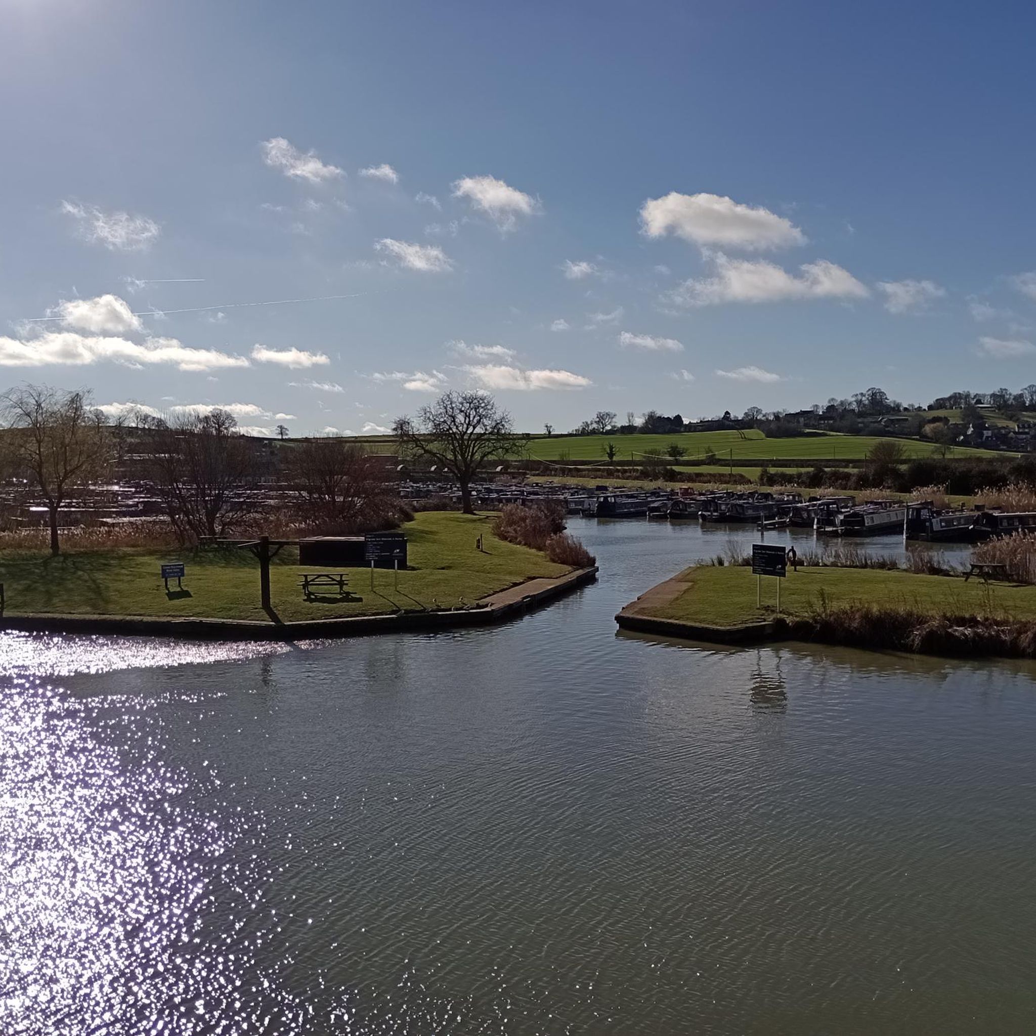
Bishops Bowl Fishery sits on a 90 acre former limestone quarry, located on the Oxfordshire/Warwickshire border. The quarry work many years ago has created an attractive stone faced bowl. The whole site is recorded as a site of scientific interest. As at Lyme Regis, the Blue Lias at Harbury is rich in marine fossils. In 1927 and 1928 the skeletons of two marine reptiles were found in Harbury quarry. They are an ichthyosaur and a plesiosaur, and both fossils are now in the Natural History Museum, London. The plesiosaur is the unique example of the early Jurassic species Macroplata tenuiceps.
1
0
The Battle of Edgecote Moor took place 6 miles (9.7 km) north east of Banbury, Oxfordshire, in what is now the civil parish of Chipping Warden and Edgcote, England on 26 July 1469 during the Wars of the Roses. The site of the battle was actually Danes Moor in Northamptonshire, at a crossing of a tributary of the River Cherwell. The battle saw supporters of Richard Neville, Earl of Warwick, defeat the forces of King Edward IV, leading to the king's capitulation soon afterwards.
1
0
よくある質問
Priors Hardwick周辺でユニークな自然の特徴は何ですか?
この地域は、中世の農業の痕跡であり、土地を独特の模様に彫り込んだ「畝と溝」の景観で有名です。また、田園の美しさに貢献し、野生生物の生息地を提供する古代の生垣や石垣も見られます。重要な水域としては、かつての石灰岩採石場であるBishops Bowl Lakesがあり、静かな環境を提供し、豊富な海洋化石のために科学的関心事となっています。
この地域に歴史的な自然記念物はありますか?
はい、自然の美しさと歴史的重要性が見事に融合した場所がいくつかあります。「畝と溝」の景観自体が歴史的な自然記念物であり、何世紀にもわたる人間と土地との関わりを示しています。さらに、放棄された中世の村のよく保存された土塁は、見える道路や中世の魚池を含み、過去の集落パターンを垣間見ることができます。また、歴史的に「聖なる泉」としての主張を持つ、かなりの泉の頭であるHoly Well, Burton Dassettを訪れることもできます。
ウォリックシャーの田園地帯のパノラマビューはどこで見られますか?
Priors Hardwickは尾根の上に位置しており、広大な景色を望めます。Harts Hillは、静かな田園風景を appreciating するのに優れた展望ポイントを提供します。晴れた日には、Horse Hill のような高い場所から、Malvern Hills まで見えることもあります。
近くに家族向けの自然記念物やアクティビティはありますか?
はい、Holy Well, Southamは家族向けと見なされており、イングランドで最も古い記録に残る聖なる泉と考えられており、興味深い歴史的な訪問を提供します。少し離れたBoddington Reservoirも家族での散歩に人気があります。Priors Hardwick周辺の運河沿いの道や開けた野原は、家族に適した簡単で穏やかなルートを提供します。
これらの自然記念物の近くでどのようなアウトドアアクティビティができますか?
この地域は、ウォーキング、ハイキング、サイクリングに最適です。景色の良い運河沿いの道や開けた野原を探索できます。特定のルートについては、Priors Hardwick周辺のバス停からのハイキングや、Priors Hardwick周辺のサイクリングルートを検討してください。また、ゆったりとした一日を過ごすのに最適な簡単なハイキングもあります。
Priors Hardwick周辺の自然記念物を訪れるのに最適な時期はいつですか?
Priors Hardwick周辺の自然記念物や景観は、一年中楽しむことができます。春には野花が咲き、緑が豊かになり、秋には美しい紅葉が見られます。夏は長い散歩やピクニックに最適で、冬の散歩も絵のように美しいことがありますが、特に尾根と溝の景観では、道がぬかるんでいる場合があります。
考古学的に重要な史跡はありますか?
はい、ございます。中世の村の土塁跡には、道路、住居跡、魚池などの目に見える遺構があり、自然景観に組み込まれた重要な考古学的特徴となっています。これらは指定古代記念物であり、ユニークな歴史的・自然体験を提供します。ハーツヒルにも、はっきりと見える円形の土塁跡があります。
この地域にユニークな地質学的特徴はありますか?
はい、かつての石灰岩採石場であるビショップスボウル湖は科学的関心のある場所です。そのブル・リアス層は海洋化石が豊富で、魚竜や首長竜の骨格が発見されており、現在はロンドン自然史博物館に収蔵されています。
これらの史跡にアクセスしやすいハイキングコースはありますか?
尾根と溝の景観や古代の生垣など、多くの自然の特徴は、地元の遊歩道やトレイルを通じてアクセス可能です。運河沿いの道も、平坦で歩きやすいオプションを提供します。具体的な簡単なルートについては、プライアーズ・ハーウィック周辺の簡単なハイキングを探索できます。これには「聖マリア教区教会 – プライアーズ・ハーウィック村の緑地ループ」のようなルートが含まれます。
カウプールとは何ですか?また、その歴史的重要性は何ですか?
カウプールは、プライアーズ・ハーウィックのすぐ外にある、歴史的に重要な小さな池です。かつてウェールズ街道を旅する牛追いにとって重要な給水所として機能しており、この地域の農業と交易路の豊かな過去を反映しています。
エッジコートの戦いの場所とその史跡との関連性は何ですか?
エッジコートの戦いの場所(デーンズ・ムーアとしても知られる)は、薔薇戦争時代の歴史的な戦場です。主に歴史的な場所ですが、自然景観の中、チェルウェル川の支流の交差点にあるというその立地は、重要な景観ポイントであり、歴史が自然環境に深く根ざした場所となっています。
プライヤーズハードウィックでのの人気観光スポット

komootモバイルアプリでインスピレーションを得よう


さらに探索
これらのガイドで、最高の洞窟を探す範囲を広げましょうプライヤーズハードウィックでの:
