コルティナ・ダンペッツォの天然記念物・トップ20
コルティナ・ダンペッツォが誇る美しい風景を見てみたいなら、コルティナ・ダンペッツォの素晴らしい天然記念物・トップ20
に行ってみましょう。あなたにぴったりの場所が見つかるよう、素晴らしい天然記念物を探索するために必要なすべての情報を集めました。次のアウトドアの冒険に出かける計画の参考にしましょう。
最終更新日: 10月 15, 2026
リフージョ・アントニオ・ロカテッリ - トレ・チーメ・ディ・ラヴァレードの眺め
ハイライト • 山小屋
28.06. – 28.09.2025
Mountain hut hosts:
Pintossi Angelo family
WhatsApp: +39 389 9076228
翻訳者 Google •
役立つ情報 は

リエンツ川の源流
ハイライト • 川
翻訳者 Google •
役立つ情報 は
今すぐサインアップして、こんな場所を発見しよう
最高のシングルトラック、ピーク、その他のエキサイティングなアウトドアスポットのおすすめを受け取ろう。
ブライス湖北岸
ハイライト • 湖
翻訳者 Google •
役立つ情報 は

トレ・チーメ・ディ・ラヴァレードの眺め
ハイライト • 展望台
翻訳者 Google •
役立つ情報 は


無料アカウントで今日から始めよう
次の冒険が待っています。
コルティナ・ダンペッツォ周辺で人気
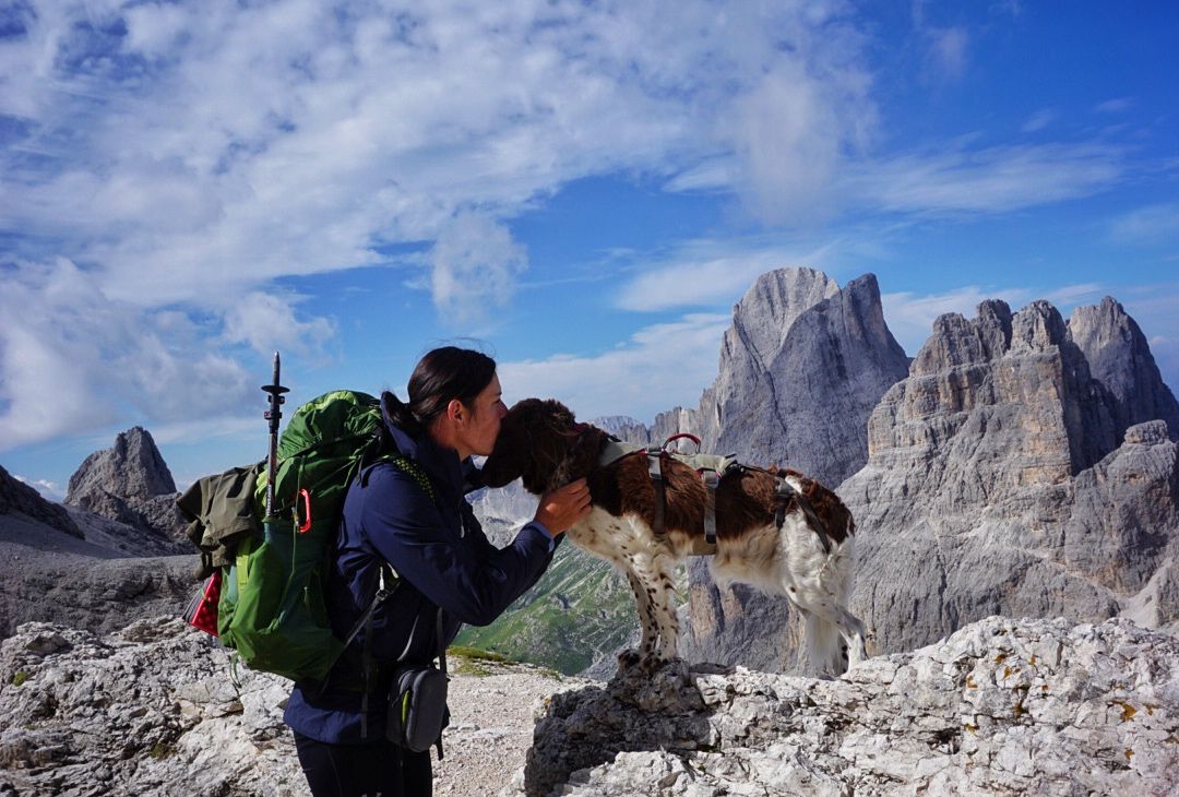
ドロミーツのエクストララージ・ラウンド - 地球外のハイキングアドベンチャー
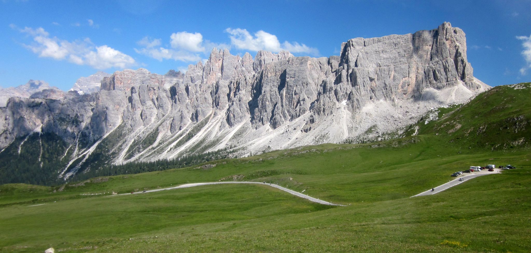
ドロミテスを横断する — 世界で最も美しい山脈
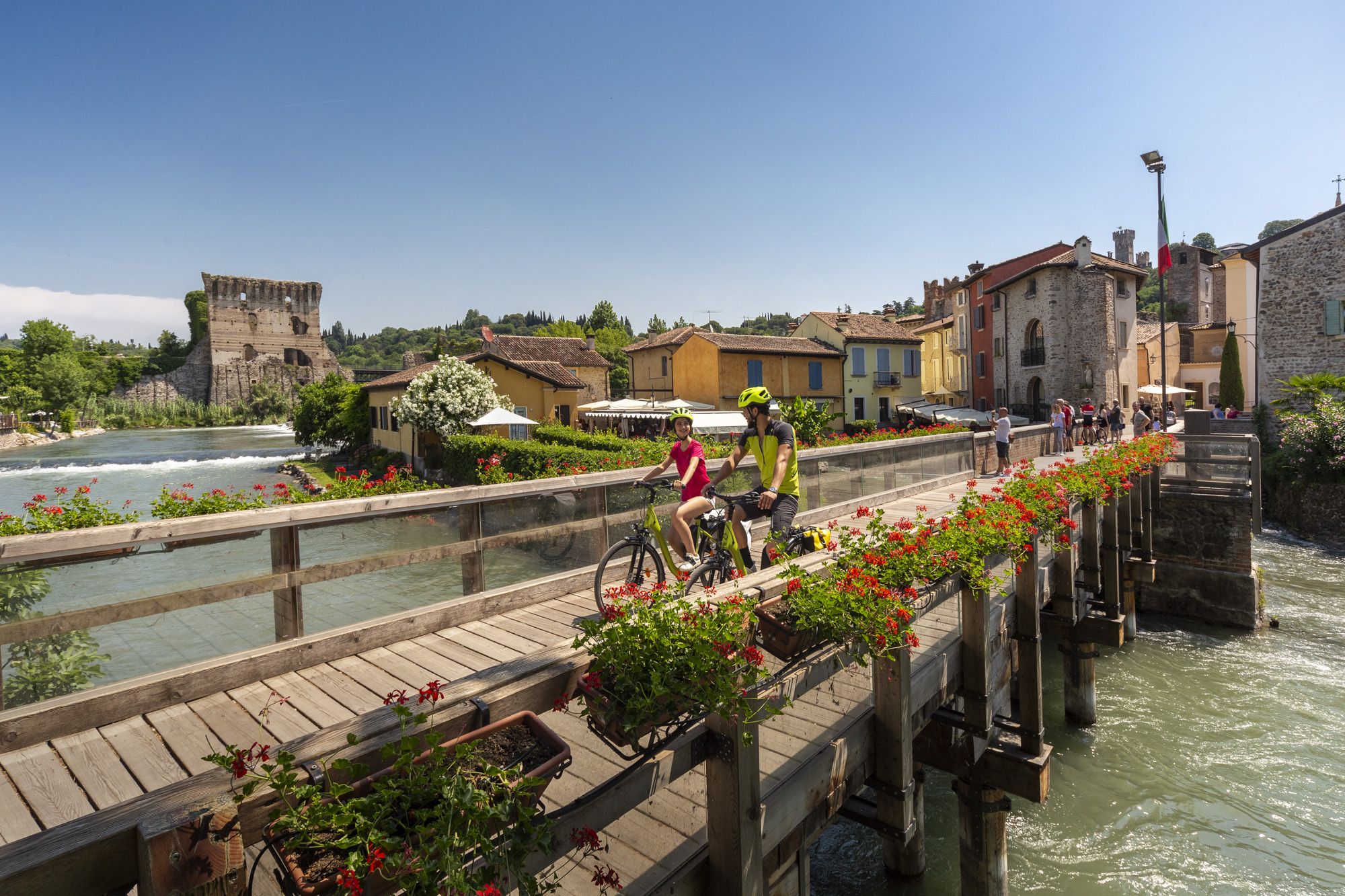
Explore Veneto at a slow pace – day trips by bike
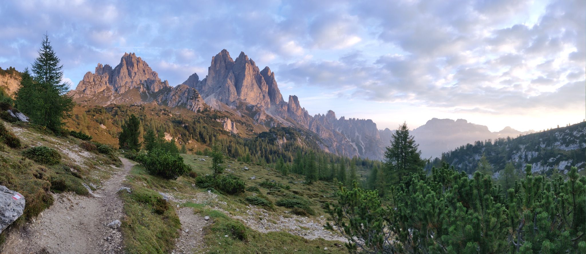
イタリアのドロミーツ山脈の壮大な自然をハイキング(アルタ・ヴィア4)
ドロミーツの峰間を走るトレイルランニング – Lavaredo Ultra Trail
ドロミーツの峰の中で - コルティナ・ダムペッツォからのトレールランニング
ドロモイテルトリスがにバルドインスかるないりません
ドロモルット道のスルリン - トリルールンド Cortina d'Ampezzo
ウリスルット - イタリアルドミ ドロラミティームの周年
クラウドを走る - ドロミーツのアルタ・ヴィア1
コルティナ・ダンペッツォでのの他の冒険


コミュニティからのヒント

The Patern Saddle, also known as Forcella Lavaredo, lies at an altitude of approximately 2,454 meters between the Lavaredo Hut and the Dreizinnen Hut. It is one of the most famous viewpoints in the Sesto Dolomites and offers direct views of the imposing north faces of the Three Peaks. The pass is easily accessible, usually via the hiking trail from the Auronzo Hut, and is considered a key point on the classic circular route around the Three Peaks. Thanks to its location, it is not only a popular photo opportunity but also a place to linger before continuing on to the surrounding huts or embarking on more challenging mountain tours.
29
0
Lake Braies (Italian: Lago di Braies) lies at an altitude of approximately 1,500 meters in the Prags Valley, a side valley of the Puster Valley. It is considered one of the most beautiful lakes in the region and is often called the "Pearl of the Dolomites" due to its clear, emerald green to turquoise-blue shimmering water. Surrounded by steep rock faces and dense forests, the lake offers an impressive natural backdrop and is one of the most photographed motifs in South Tyrol. It is approximately 1.2 kilometers long, up to 36 meters deep, and can be circumnavigated on foot in about an hour on a scenic circular path. Excursions in traditional wooden rowboats are particularly popular in summer, lending the lake a romantic character. In addition to its scenic beauty, the lake also has historical significance, as it was the scene of a liberation of concentration camp prisoners during World War II. An information panel about this is located at the entrance to the Chapel of St. Mary.
39
0
Here, at the foot of the Three Peaks, the Rienz river has its source at an altitude of 2180 m. In its upper reaches, the river initially crosses protected areas in the Three Peaks Nature Park and the Fanes-Sennes-Braies Nature Park, namely the short Rienz valley and then the Höhlenstein valley.
38
0
open: 28.06. – 28.09.2025 Mountain hut hosts: Pintossi Angelo family WhatsApp: +39 389 9076228
26
1

It's a dream how the lake is nestled in front of the Seekofel. A great opportunity for a circular hike.
9
0

You are faced with one of the most iconic natural wonders in the world. Symbol of the Dolomites, recognized as a UNESCO heritage site, the Tre Cime di Lavaredo ('Die Drei Zinnen' in German) are made up of the Cima Grande (2,999 m), the Cima Ovest (2,973 m) and the Cima Piccola (2,857 m).
7
0

A beautiful view of the Three Peaks
4
1

The Pragser Wildsee (Italian Lago di Braies) is a mountain lake in the Pragser Valley in the South Tyrolean municipality of Prags. It is located a few kilometers south of the Alta Pusteria between Bruneck and Dobbiaco in the Braies Dolomites. It is part of the Fanes-Sennes-Prags Nature Park and a protected natural monument. Source: Wikipedia
16
1
コルティナ・ダンペッツォでのの人気観光スポット

komootモバイルアプリでインスピレーションを得よう


さらに探索
これらのガイドで、最高の洞窟を探す範囲を広げましょうコルティナ・ダンペッツォでの:
