アラノディピアーブの天然記念物・トップ20
アラノディピアーブが誇る美しい風景を見てみたいなら、アラノディピアーブの素晴らしい天然記念物・トップ20
に行ってみましょう。あなたにぴったりの場所が見つかるよう、素晴らしい天然記念物を探索するために必要なすべての情報を集めました。次のアウトドアの冒険に出かける計画の参考にしましょう。
最終更新日: 10月 1, 2026
モンテ・チェーゼン山頂の十字架
ハイライト • 山頂
翻訳者 Google •
役立つ情報 は

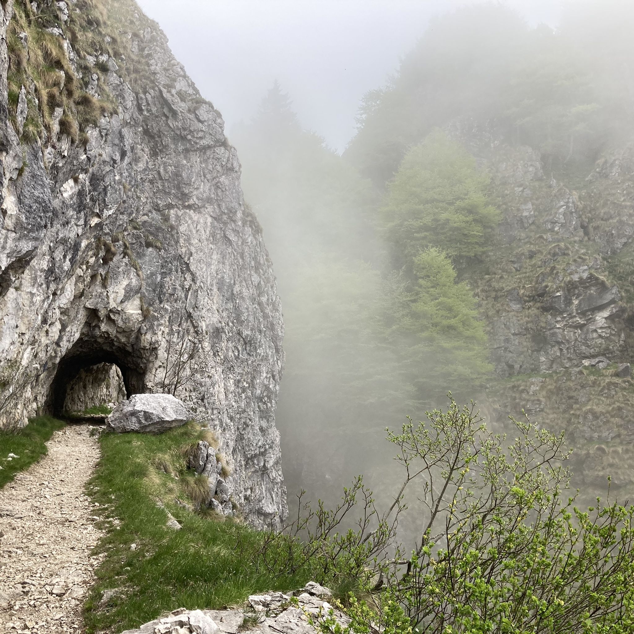
ピアネッツェとヴァルドッビアデーネの間の素晴らしい道
ハイライト (セグメント) • トレイル
翻訳を表示中
役立つ情報 は

今すぐサインアップして、こんな場所を発見しよう
最高のシングルトラック、ピーク、その他のエキサイティングなアウトドアスポットのおすすめを受け取ろう。
Cà Tasson – 記憶の庭とアルディーティ記念碑
ハイライト • 歴史的な場所
翻訳者 Google •
役立つ情報 は
モンテ・チェゼンのカバ
ハイライト • 自然記念物
翻訳者 Google •
役立つ情報 は
チーマ・モンテ・トンバ
ハイライト • 山頂
翻訳者 Google •
役立つ情報 は

無料でサインアップして、さらに多くの自然記念物を発見しましょう アラノディピアーブでの。
すでにアカウントをお持ちですか?
無料アカウントで今日から始めよう
次の冒険が待っています。
アラノディピアーブでのの他の冒険

コミュニティからのヒント

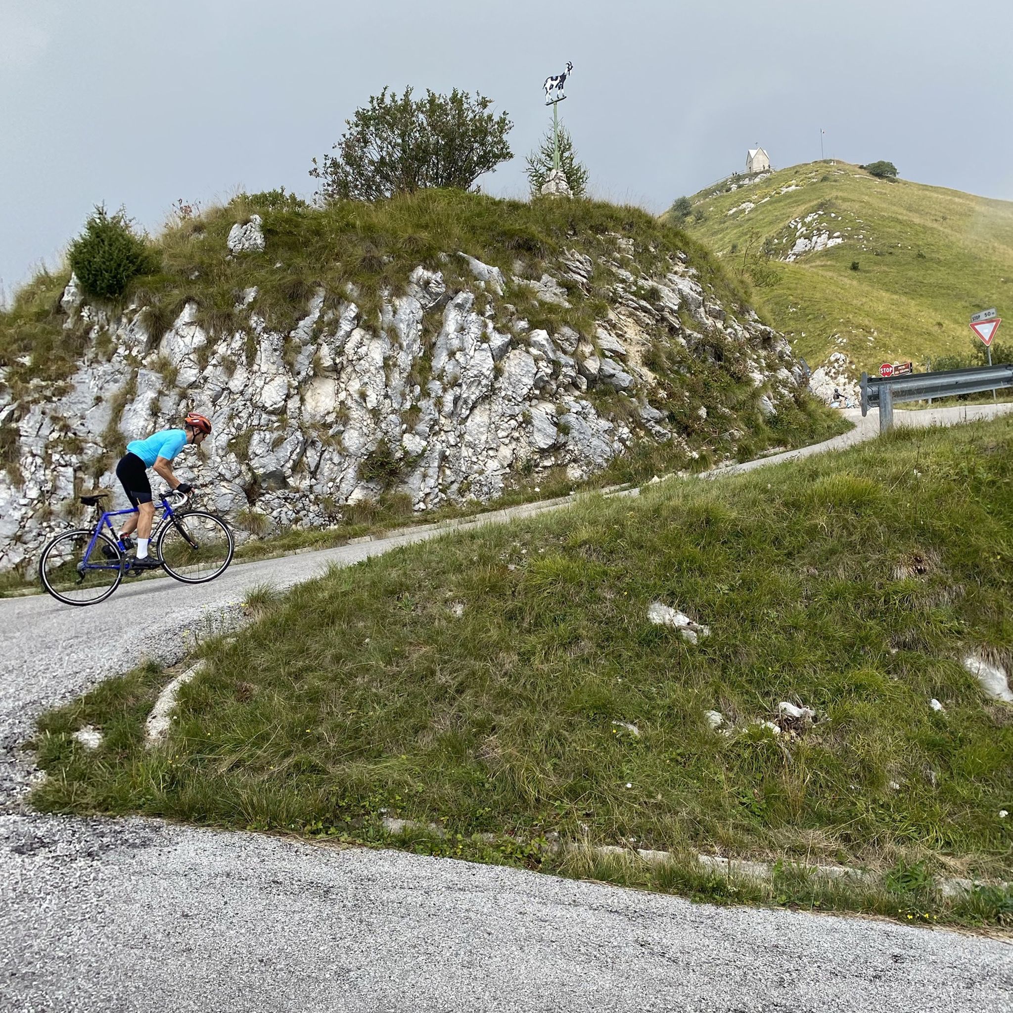
ValdobbiadeneからPianezzeへの登り、実質的に道はPiazza Guglielmo Marconiから標高0メートル地点からPianezzeまで登り始めます。登りは約11kmで、平均勾配は7.7%、最大13%に達します。ピアーヴェ川の谷の素晴らしい景観が広がります。
10
0

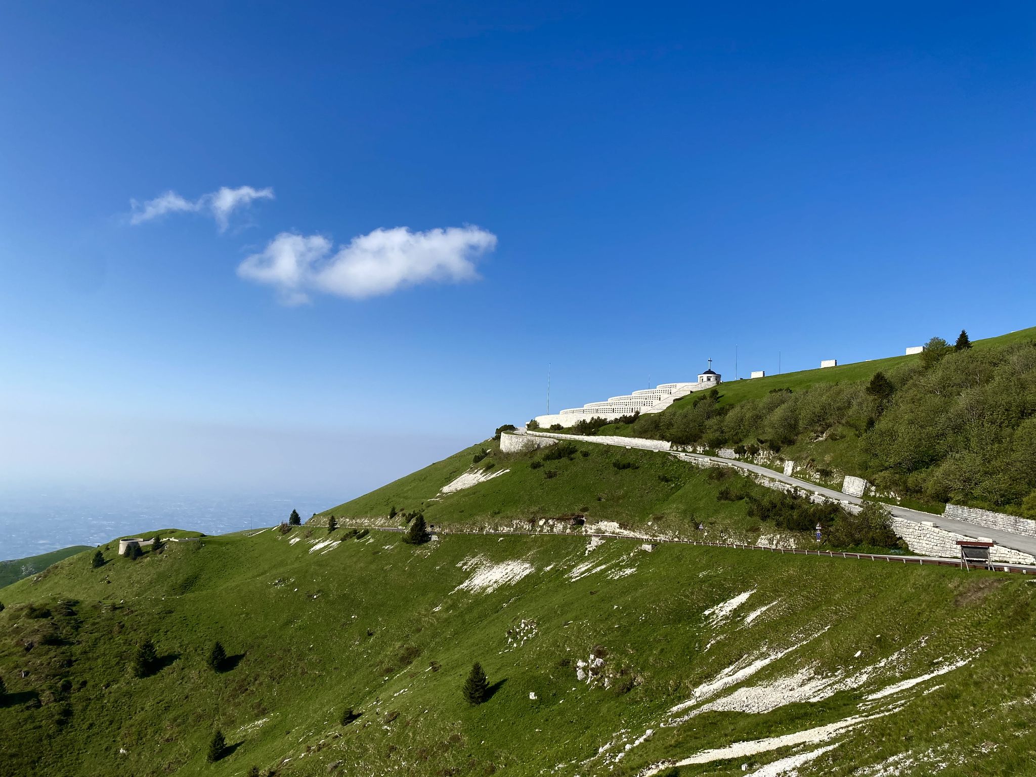
標高1570メートルに位置するモンテ・チェーゼンの山頂の十字架は、トレヴィーゾ前山を訪れるハイカーにとって象徴的なシンボルとなっています。この堂々とした金属製の構造物は周囲の景観を支配し、遠くからも見える目印となっています。登頂を果たした後は、十字架が訪問者を迎え、北はドロミーティの山頂から、空気が澄んだ日には南はヴェネツィアのラグーンまで広がる素晴らしいパノラマが開けます。この場所は単なるスポーツの達成目標ではなく、静寂と瞑想の場所であり、そこでは急な草地の斜面と下のプロセッコの丘陵地帯を見渡すことができ、牧草地と山小屋の間を蛇行する小道を登るのに費やした労力に見合う景色が広がっています。
0
0

It's the highest point of Mount Cesen, at 1,570 meters. The view extends from the Venice Lagoon to the highest peaks of the Dolomites. Spectacular...
0
0

Memory Road...no comments needed 🙏
0
0

Famous figure in the shape of a "hippopotamus", which has become a true "natural monument" of the Prealps, especially thanks to the media hype of recent years. This forest of pines and beech trees measures exactly 930 meters in length, while the legs are 130 meters high and from the belly to the back there are another 180 meters. So huge that it is visible from a great distance, even from Venice, especially when the ground is snowy. The origin of this forest, and whether its shape is intentional or not, remains uncertain. Some say that the shape is completely random and that it is a reforestation done in three phases from the 1920s to the 1980s. There are also those who say that the figure is intentional and that it represents a bison left by the Austrians. This animal contributed to the expansion of the Austro-Hungarian empire in Europe by providing soldiers with milk, meat and furs. According to others, what we see today is nothing more than a wing that was supposed to compose the eagle symbol of fascism that with its size, and being visible as far as Venice, was supposed to testify to the power of the regime. Due to the fall of the latter, the work was interrupted.
1
0

A lovely leisurely mountain ride!
2
0

Classic climb of the Treviso foothills of 11 km with a regular gradient and which arrives in the square where there is a refreshing fountain for all those who climb here. From the square you then have 3 alternatives: go down again to Valdobbiadene as per the highlight, go up to the malga marriech 5km challenging and then go down again to the square, or continue uphill for about 3 km to Malga Budui and then go down towards Combai. It can be done easily all year round.
3
0

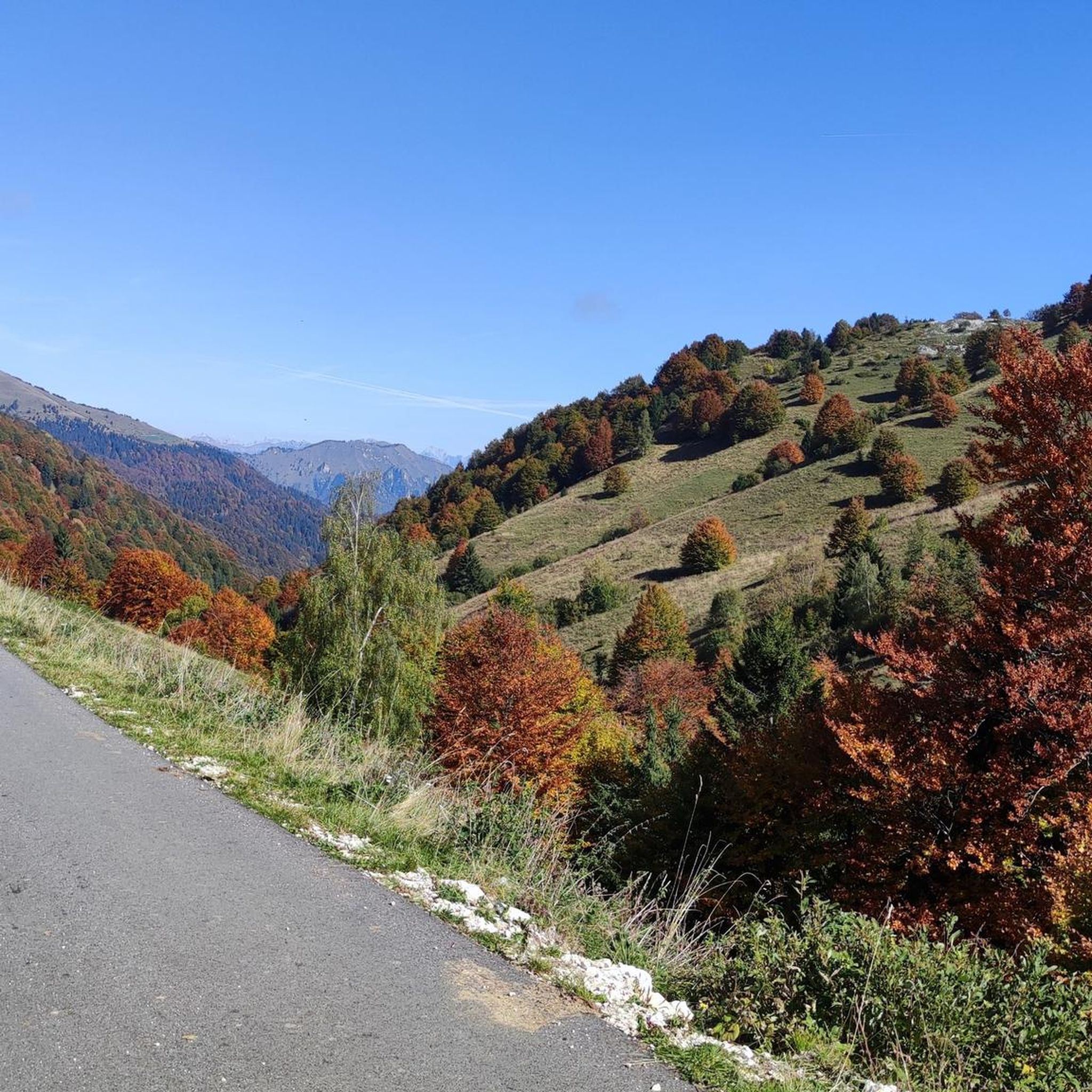
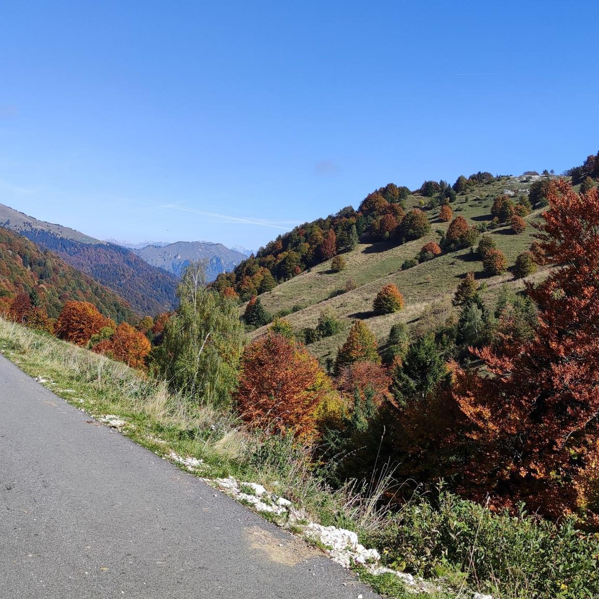
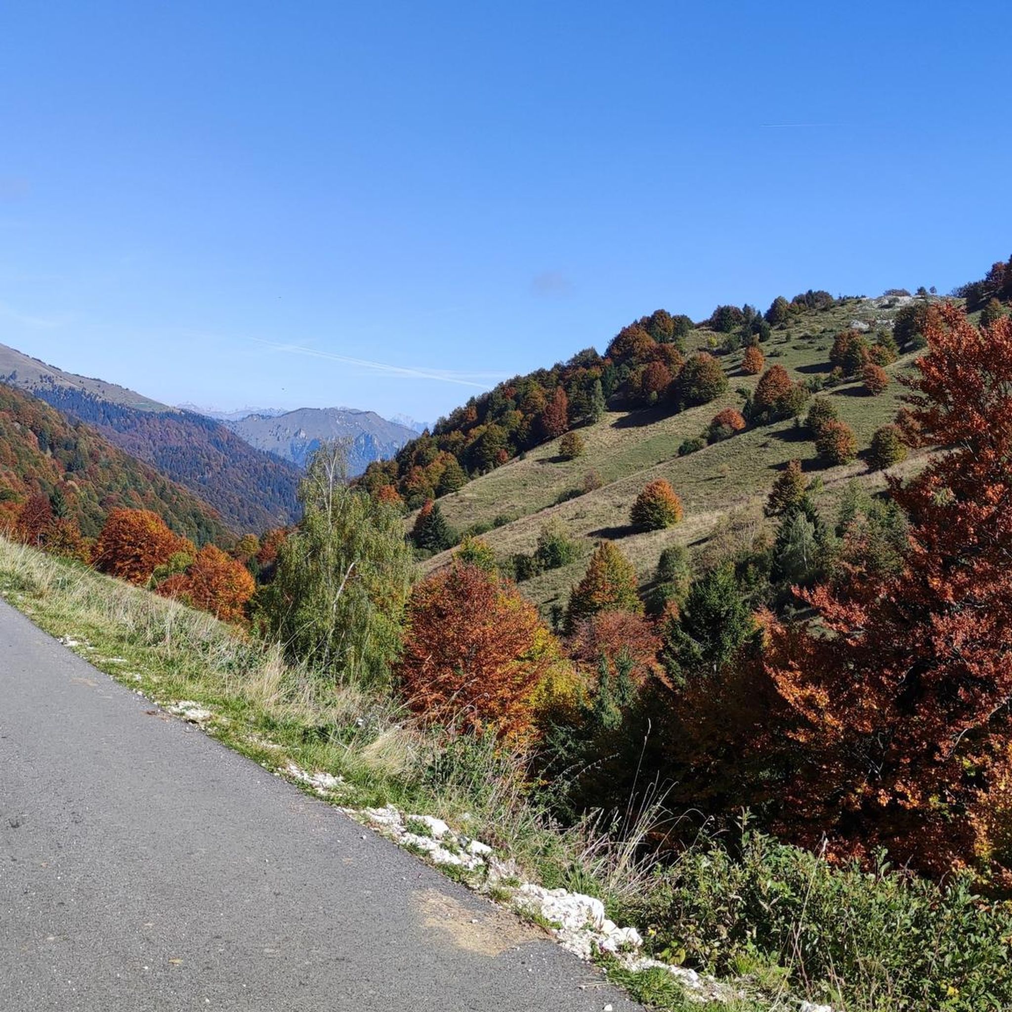
Suggestive, recommended route in autumn/spring as it is always exposed to the sun
0
0

komootモバイルアプリでインスピレーションを得よう


さらに探索
これらのガイドで、最高の洞窟を探す範囲を広げましょうアラノディピアーブでの:
