ネヴィアーノデッリアルドゥイーニの天然記念物・トップ20
ネヴィアーノデッリアルドゥイーニが誇る美しい風景を見てみたいなら、ネヴィアーノデッリアルドゥイーニの素晴らしい天然記念物・トップ20
に行ってみましょう。あなたにぴったりの場所が見つかるよう、素晴らしい天然記念物を探索するために必要なすべての情報を集めました。次のアウトドアの冒険に出かける計画の参考にしましょう。
最終更新日: 10月 14, 2026
ピエトラ・ディ・ビスマントーヴァ
ハイライト • 自然記念物
翻訳者 Google •
役立つ情報 は

カノッサ城とロッセーナ城を結ぶ景観道路
ハイライト • 展望台
翻訳者 Google •
役立つ情報 は

今すぐサインアップして、こんな場所を発見しよう
最高のシングルトラック、ピーク、その他のエキサイティングなアウトドアスポットのおすすめを受け取ろう。
モンテ・グラファニャーナ
ハイライト • 山頂
翻訳者 Google •
役立つ情報 は

モンテ・カイオ – ボッキアリーニ峰(1583 m)
ハイライト • 山頂
翻訳者 Google •
役立つ情報 は

Calanchi di Atticola
ハイライト • 自然記念物
翻訳者 Google •
役立つ情報 は

無料でサインアップして、さらに多くの自然記念物を発見しましょう ネヴィアーノデッリアルドゥイーニでの。
すでにアカウントをお持ちですか?
無料アカウントで今日から始めよう
次の冒険が待っています。
コミュニティからのヒント

カステルヌオーヴォ・ネ・モンティの自治体に位置し、その麓にそびえるこの町は、レッジョ・エミリア県にあります。アペニン山脈の間に孤立してそびえ立つ、険しい崖を持つ狭い高原として現れます。この地域は、Natura 2000ネットワークの共同体利益サイト(コードIT4030008)として分類されており、トスカーナ・エミリアン・アペニン国立公園の領土の一部に含まれています。
0
0

間違いなくこの地域で最も景色の良いピークの1つです。360度の眺めがあり、徒歩でもMTBでも簡単にアクセスできます
0
0
非常に景色の良い場所です。写真撮影のために立ち寄る価値があります
2
0
ラ・ピエトラには多くのコメントは必要ありません。ハイカー、登山家、あるいは単なる観光客であっても、ぜひ訪れてください。老若男女が楽しめるユニークで魅力的な場所です。頂上への冒険に出かける場合で、山のトレイルに慣れていない場合は、適切な履物(ハイキングシューズで十分です)を使用し、子供たちに注意してください。写真をいくつか見れば、頂上に着いたときに危険がどのようなものかよくわかるでしょう。露出した場所から離れて、景色を楽しんでください…
2
0

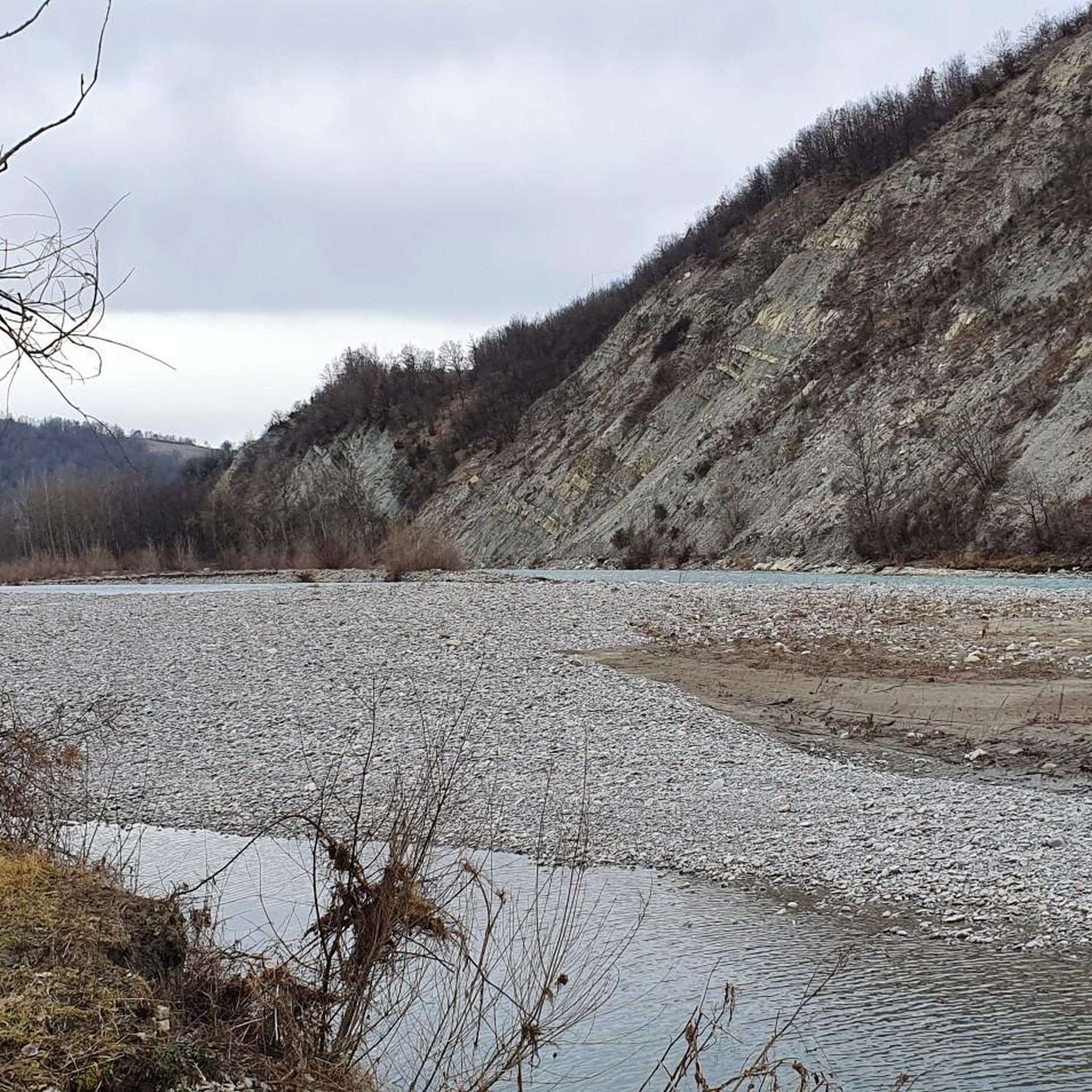
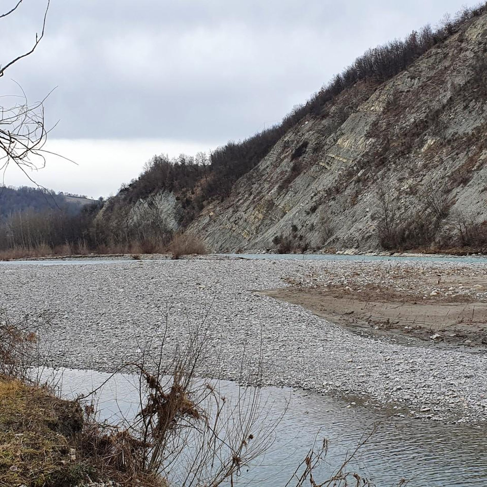
A striking natural formation located in the hamlet of Atticòla, in the municipality of Vetto, in the Reggio Emilia Apennines. It is not a deep canyon like those of the great American rivers, but rather a series of clayey reliefs—almost like "small volcanoes" a few meters high—characterized by outcrops of ferrous clay, with red and white bands that evoke an almost alien or time-sculpted landscape. An interesting crossing point, it is ideal for a leisurely hike, also suitable for families or photography enthusiasts.
0
0

I did it last week after 6 or 7 years: still beautiful, but erosion has made the trail narrow, resulting in significant chasms. A 4 or 5-meter section can only be accessed by getting off your bike because it's very dangerous and slippery. However, its charm remains intact.
0
0

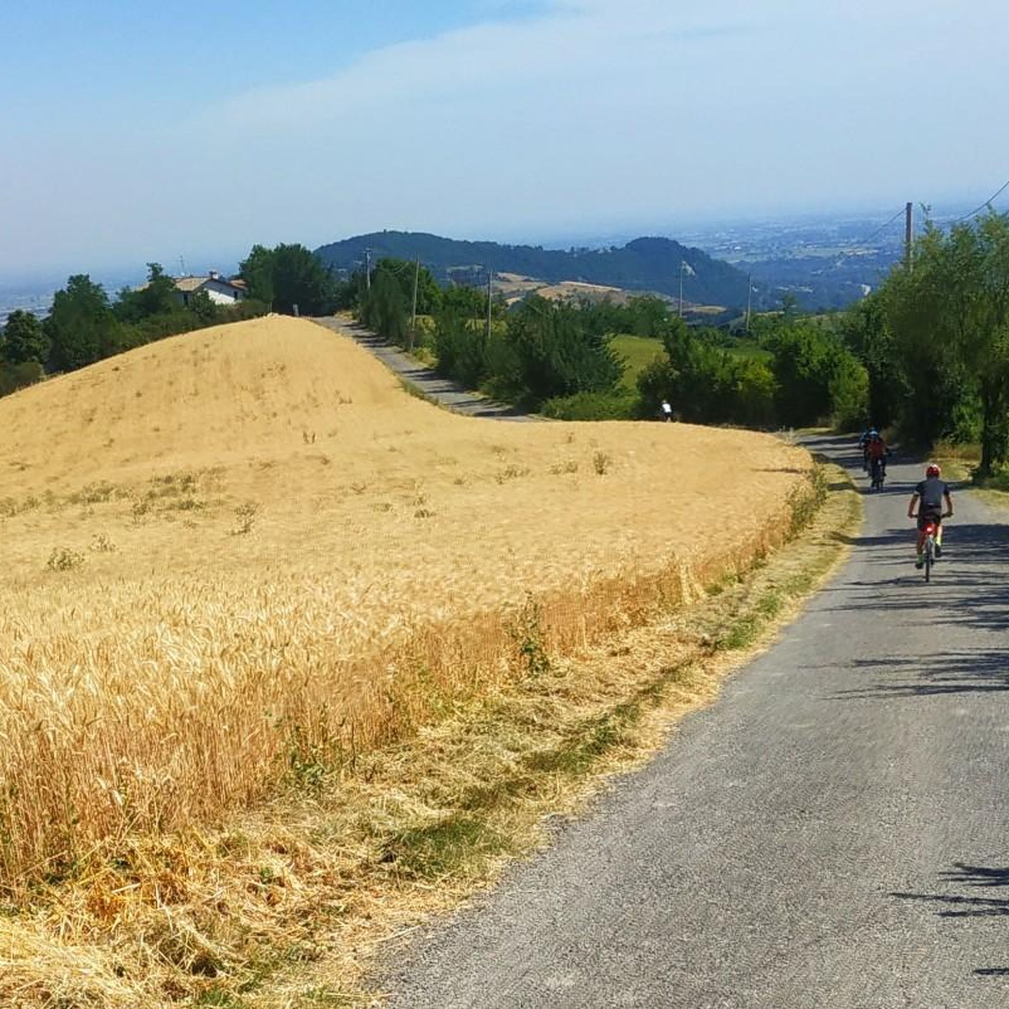
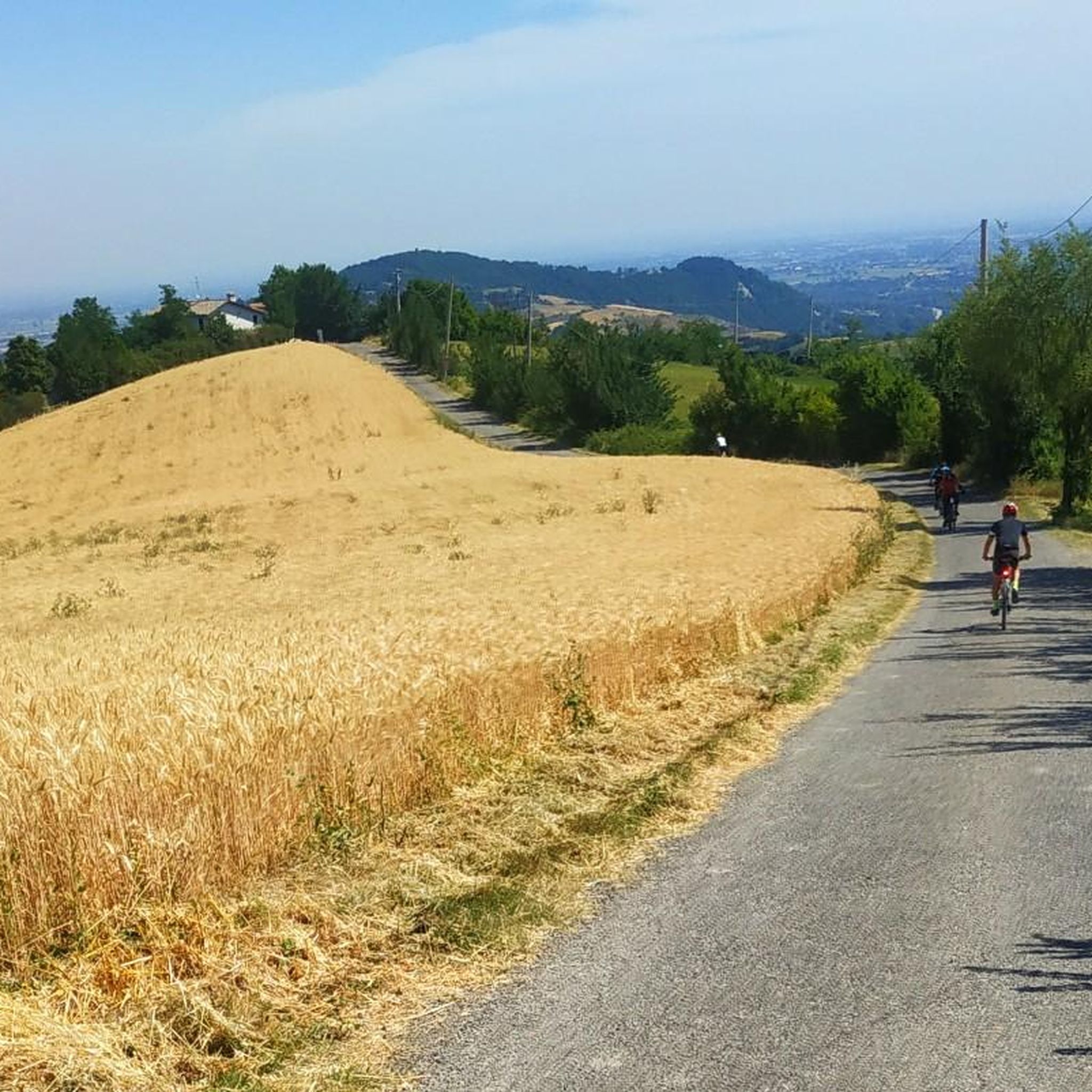
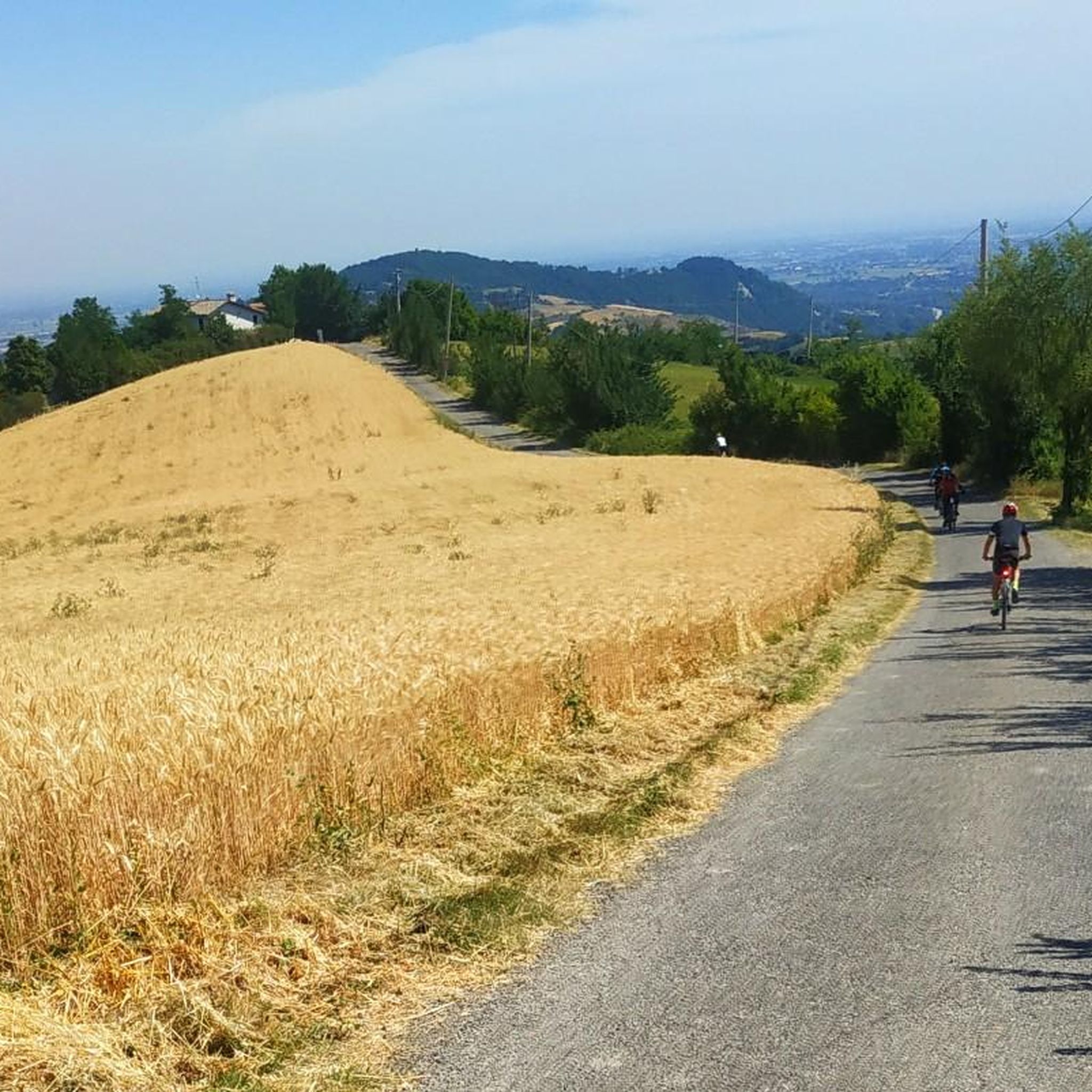
rideable climbs, well exposed for winter cycling
3
0

Mount Caio is a peak of the Parma Apennines geographically located between the municipalities of Palanzano, Tizzano Val Parma and Corniglio and culminating with the Bocchialini peak at an altitude of 1,584 meters; the peak is located in the municipality of Palanzano. It is the mountain with a height higher than 1,500 meters closest to the provincial capital Parma (38 km). On its slopes, at an altitude of 1,250 m in the territory of the Municipality of Tizzano Val Parma, there is the Schia ski resort, equipped with three ski lifts, including a new (2008) two-seater chairlift, which serve about 15 km of slopes. Mount Caio is rich in woods, pastures and fountains, including the one that flows under the hermitage of San Matteo and collects in a tree trunk. At an altitude of 1,450 m there is a small lake fed by an underground spring.
2
0
ネヴィアーノデッリアルドゥイーニでのの人気観光スポット

komootモバイルアプリでインスピレーションを得よう


さらに探索
これらのガイドで、最高の洞窟を探す範囲を広げましょうネヴィアーノデッリアルドゥイーニでの:
