ブレイユ/ブリゲルスの天然記念物・トップ20
ブレイユ/ブリゲルスが誇る美しい風景を見てみたいなら、ブレイユ/ブリゲルスの素晴らしい天然記念物・トップ20
に行ってみましょう。あなたにぴったりの場所が見つかるよう、素晴らしい天然記念物を探索するために必要なすべての情報を集めました。次のアウトドアの冒険に出かける計画の参考にしましょう。
最終更新日: 9月 16, 2026
キステンシュトックリ
ハイライト • 山頂
翻訳者 Google •
役立つ情報 は

Ochsenstäfeli
ハイライト • 湖
翻訳者 Google •
役立つ情報 は

今すぐサインアップして、こんな場所を発見しよう
最高のシングルトラック、ピーク、その他のエキサイティングなアウトドアスポットのおすすめを受け取ろう。
ライ・ダ・ピニウ
ハイライト • 記念碑
翻訳者 Google •
役立つ情報 は

Griesslisee
ハイライト • 湖
Claridensee: The secret glacier lake on the Klausenpass at 2098 m
Glacier lake at the foot of the Clariden north face and the rock formation “Tyyfelsfriedhof”.
翻訳者 Google •
役立つ情報 は

ベルグリストゥーバーの滝
ハイライト • 滝
翻訳者 Google •
役立つ情報 は

無料でサインアップして、さらに多くの自然記念物を発見しましょう ブレイユ/ブリゲルスでの。
すでにアカウントをお持ちですか?
無料アカウントで今日から始めよう
次の冒険が待っています。
ブレイユ/ブリゲルス周辺で人気

Winter Magic in the Surselva – peace, space and pure nature
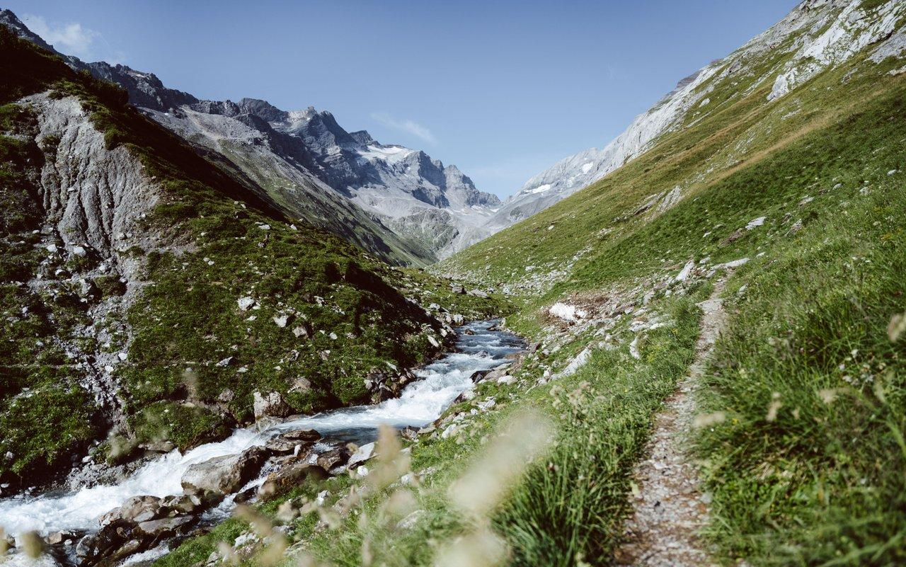
Relax and enjoy – hiking highlights of the Surselva
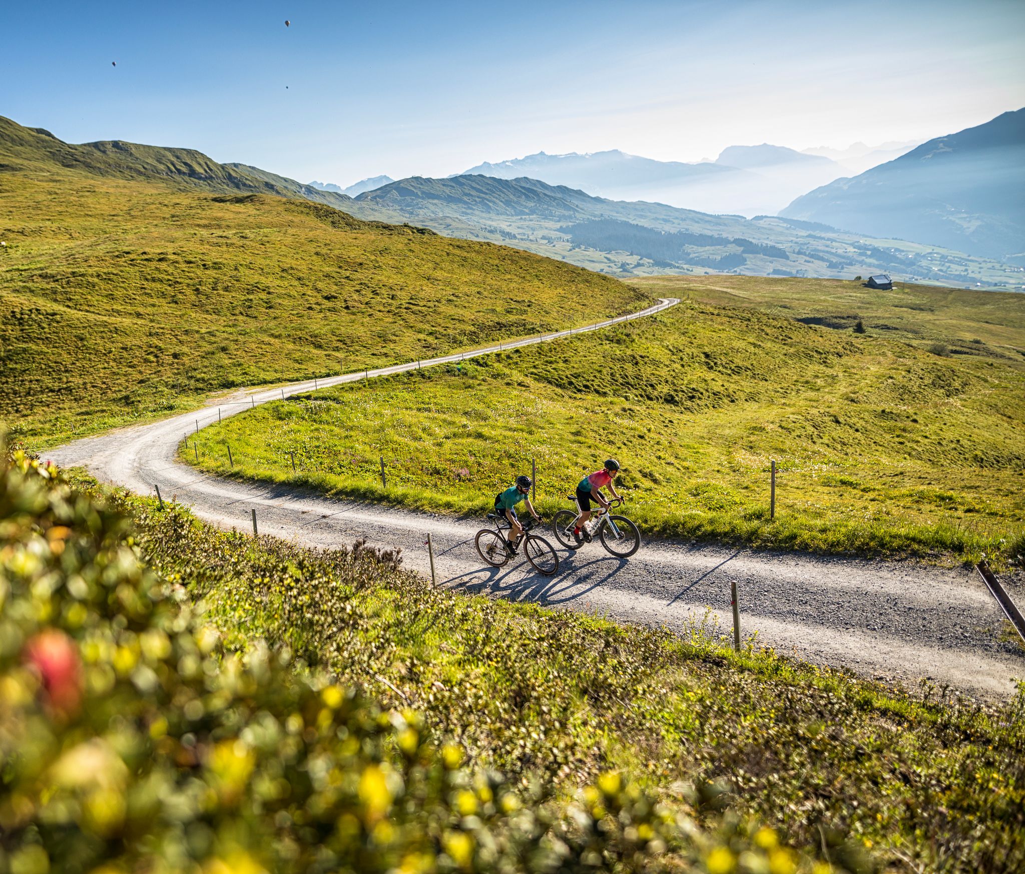
The six most beautiful gravel routes in Graubünden
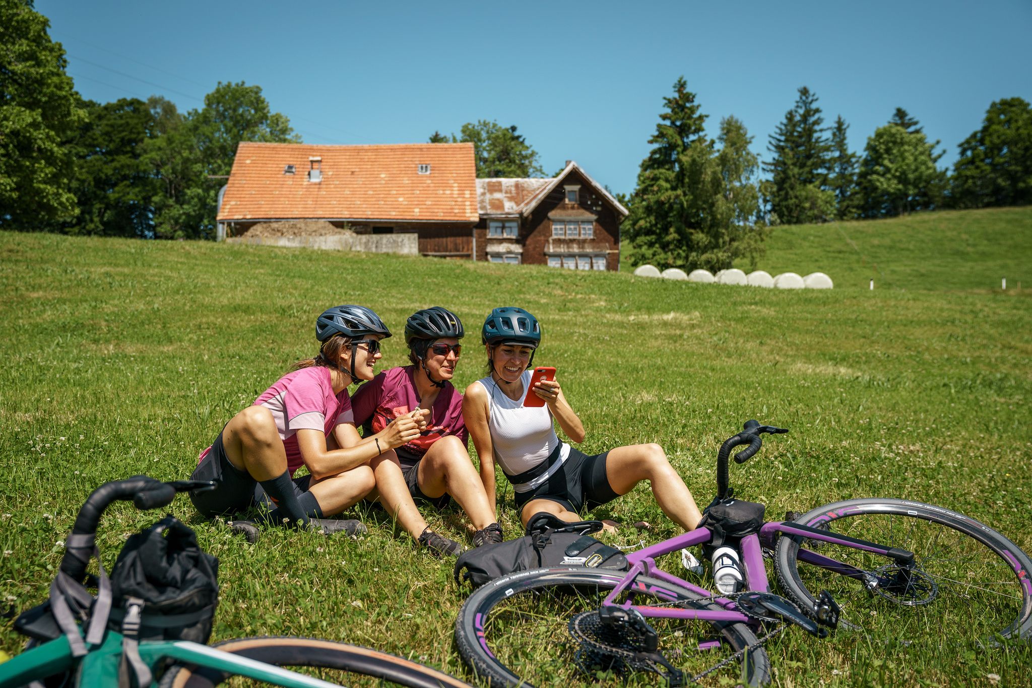
100% Women: essential Switzerland on a gravel bike
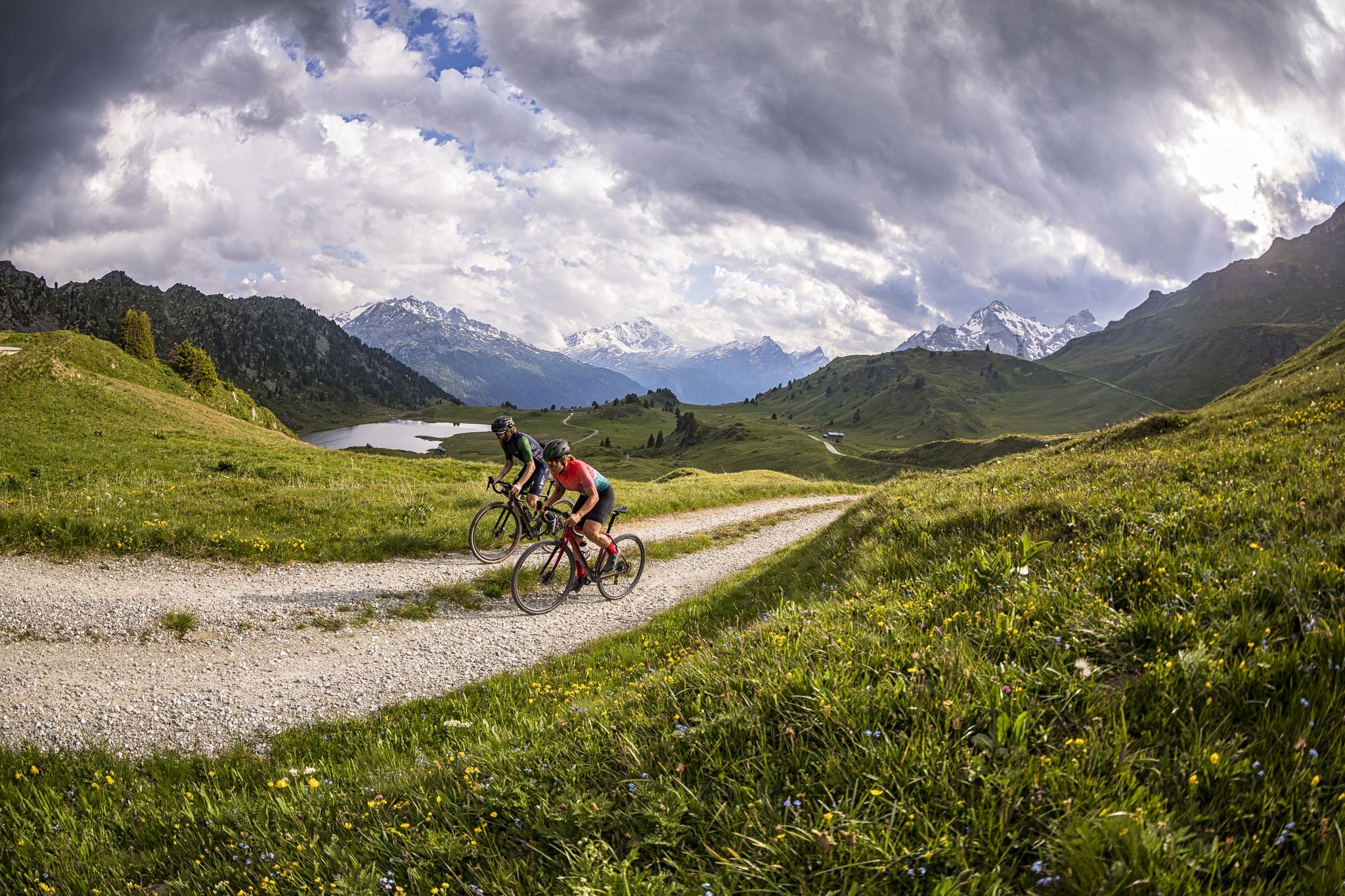
A gravel biking Menu for Switzerland’s Grisons

古道 サンティアゴ 方面 - ヤコブス グラウビュンデン
Senda Sursilvana – lungo il Giovane Reno tra natura e tradizione
ブレイユ/ブリゲルスでのハイキング
ブレイユ/ブリゲルスのMTBトレイル
ブレイユ/ブリゲルスでののグラベルライド
ブレイユ/ブリゲルスでのの他の冒険


コミュニティからのヒント

ラッグ・ダ・ピニウ(Panixerseeとしても知られる)は、印象的なアルプスの山岳風景の中に美しく囲まれた場所にあります。ターコイズブルーの貯水池、険しい岩壁、そして湖の奥にある壮大な滝が、この場所を特別なハイキング目的地にしています。 滝のそばには、テーブルとベンチを備えた美しいバーベキュー・ピクニックエリアがあり、自然の中での心地よい休憩に最適です。 重要:湖を一周する小道の一部は現在閉鎖されています。そのため、完全に一周することは現時点ではできません。閉鎖には必ず従ってください。 この制限にもかかわらず、Panixerseeへの小旅行は価値があります。特に滝と、静かで印象的な山の景色が、訪れる価値のあるものにしています。
0
0

湖の周りの印象的な崖と独特の色:Lag da Pigniuは間違いなく訪れる価値があります!自転車で非常に簡単にアクセスできます。
0
0


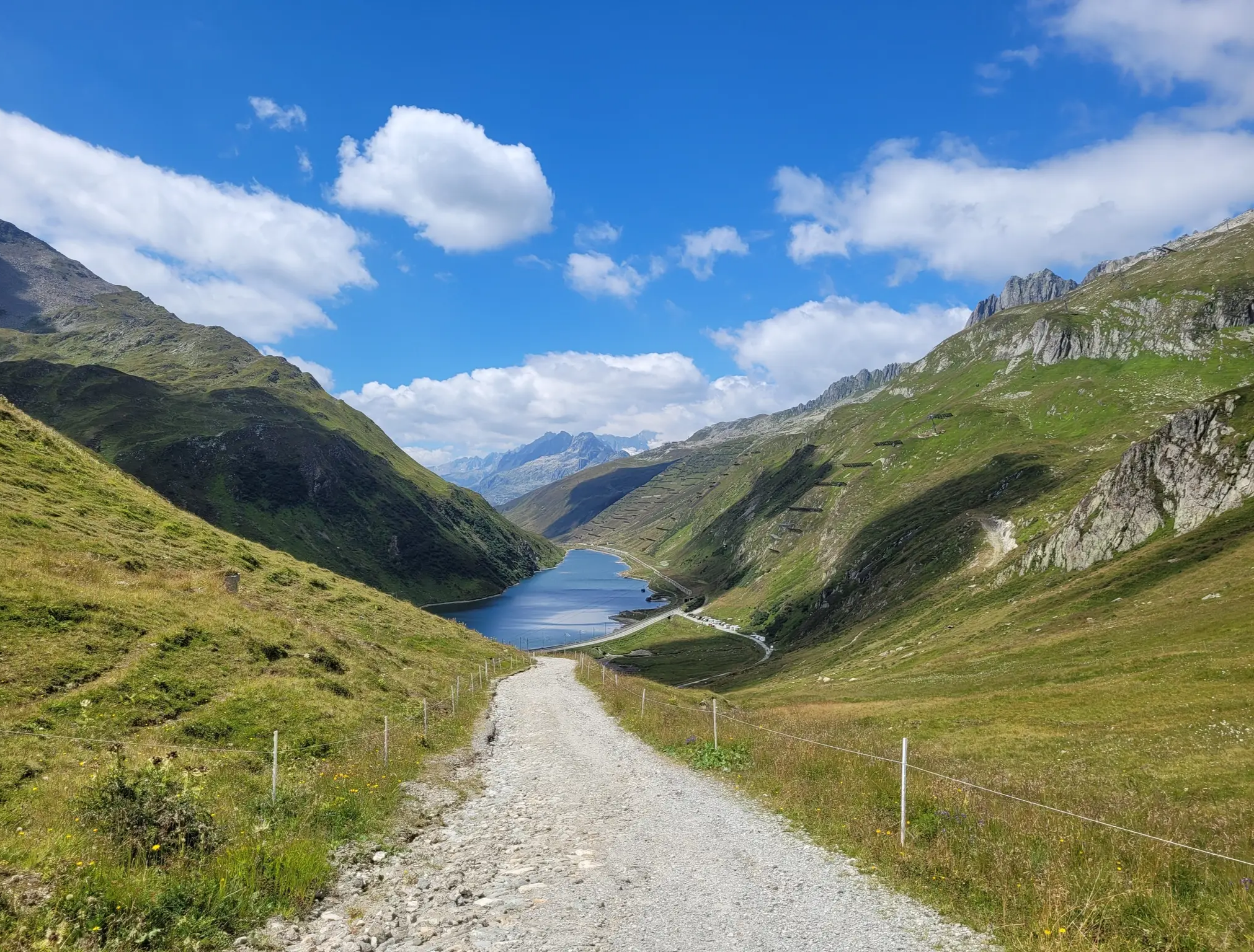
Cold lake great for cooling feet and a great place to take a break with a view of the glacier and the mountains
1
0

Griessseeli is always beautiful. This time it wasn't frozen. The colors were more grayish. They change with the seasons.
1
0

The Muttsee (formerly Mutten See, Muttensee) is a reservoir on the Muttenalp in the southernmost part of the municipality of Glarus South in the canton of Glarus in Switzerland.
2
0
In 1957, the newly founded Kraftwerke Linth-Limmern AG (KLL) began to realize the power plants that had been planned since the beginning of the 1940s by the Nordostschweizerische Kraftwerke (NOK), into which the Muttensee was to be integrated.
2
0
Until 1917, the official name was "Mutten See", then the spelling "Muttensee" appeared. From 1963, the spelling "Muttsee" appeared. The Hühnerbühl is now known in dialect as Hüenderbüel.[3] The kidney-shaped mountain lake was about 1000 meters long and 400 to 500 meters wide. On the Muttenalp plateau known as Hühnerbühl, it covered an area of about 42 hectares. The height of the lake surface was given as 2442 m until 1899, and 2448 m from 1900 to 1962. In the southeast, the lake was drained by a stream, which after a few hundred meters, at about 2400 m, disappeared into the Muttsee cave in the karst subsoil of the Muttenalp.[6] A little to the south, from about 2450 m, the Muttenbach collected the snow water from the Latten via various small tributaries.[5] It led this into the Limmernbach via the Mörthal and the Ochsenblanken.
2
1

komootモバイルアプリでインスピレーションを得よう


さらに探索
これらのガイドで、最高の洞窟を探す範囲を広げましょうブレイユ/ブリゲルスでの:
