カウデテデラスフェンテスでののおすすめグラベルライド
5.0
(1)
94
ライダー
6
ライド
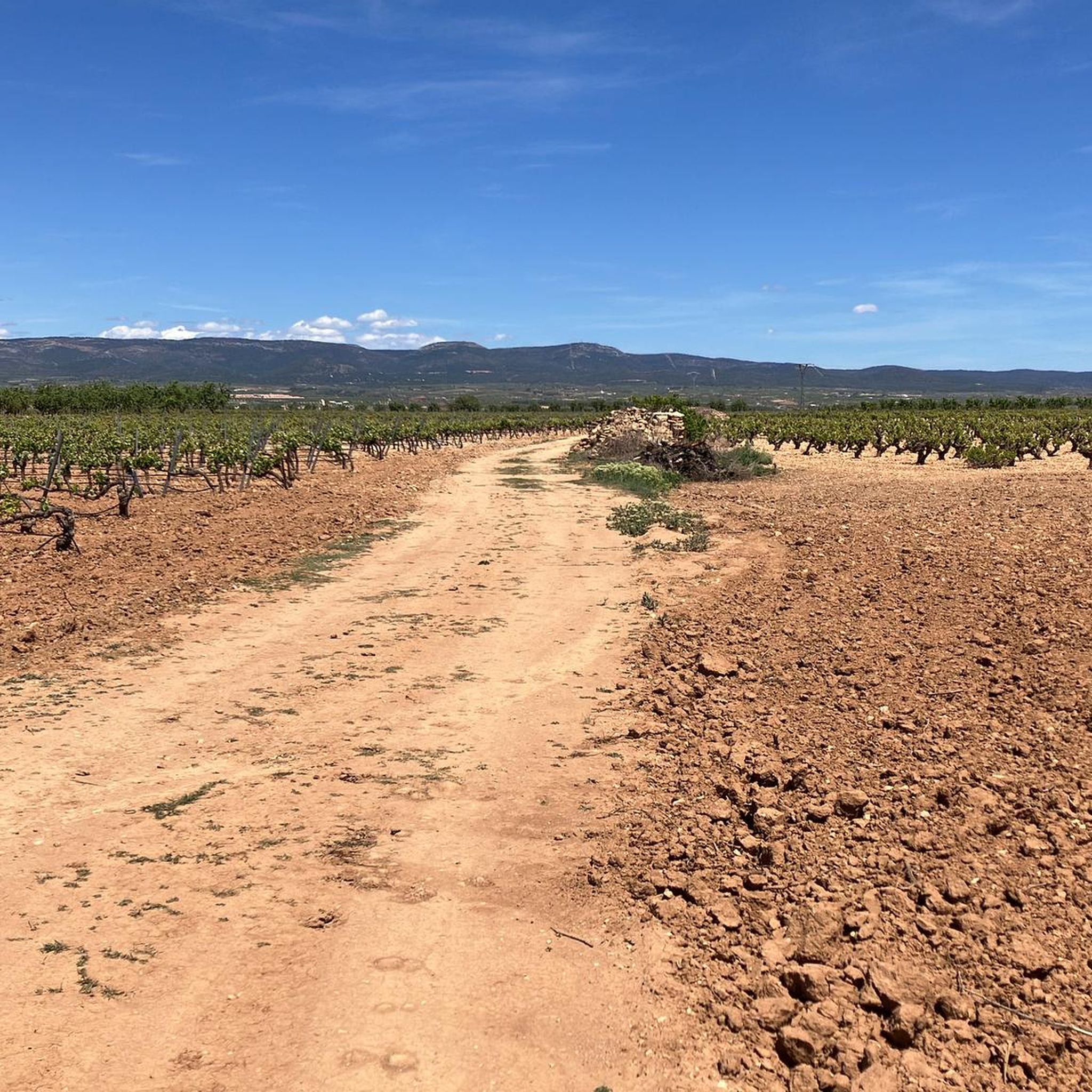
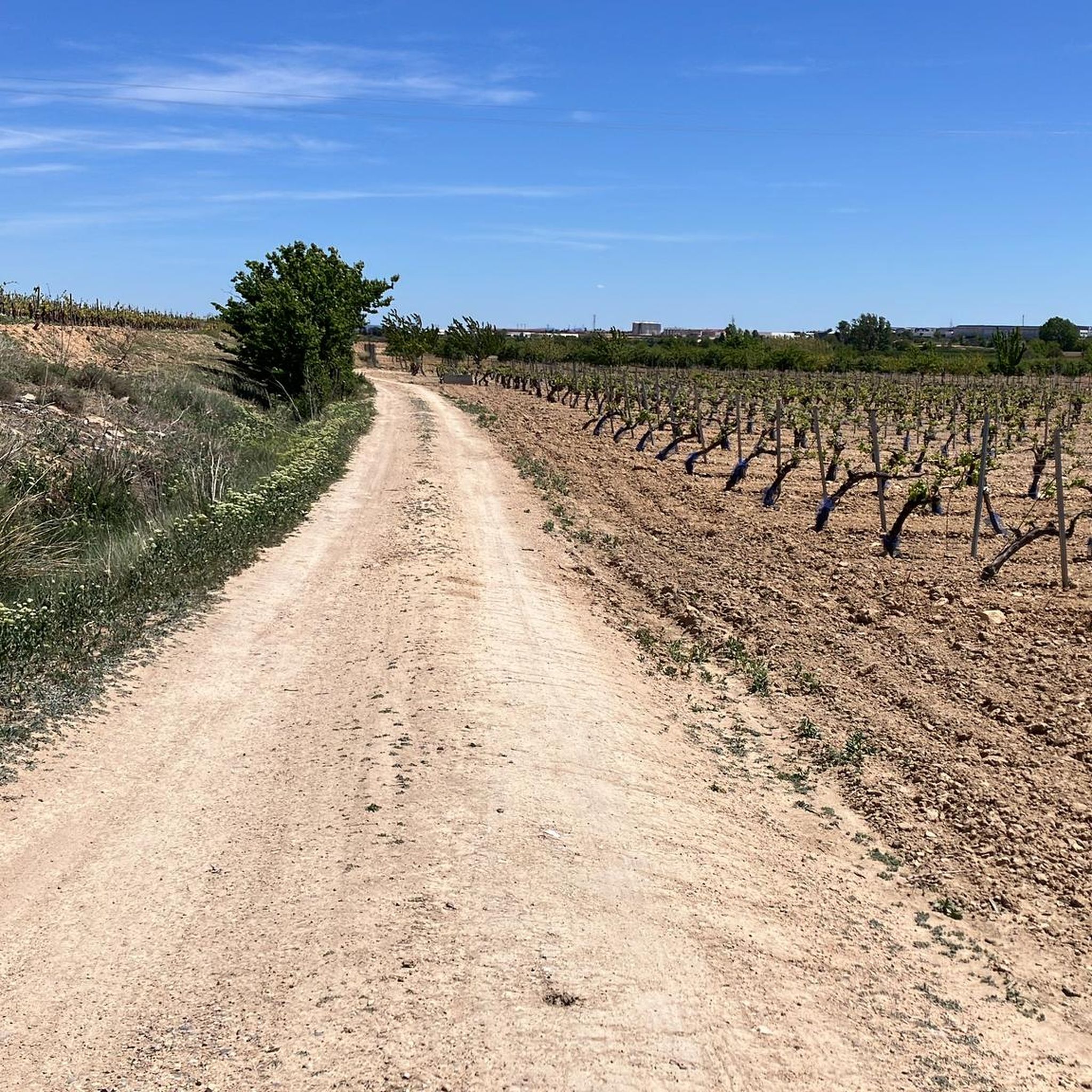
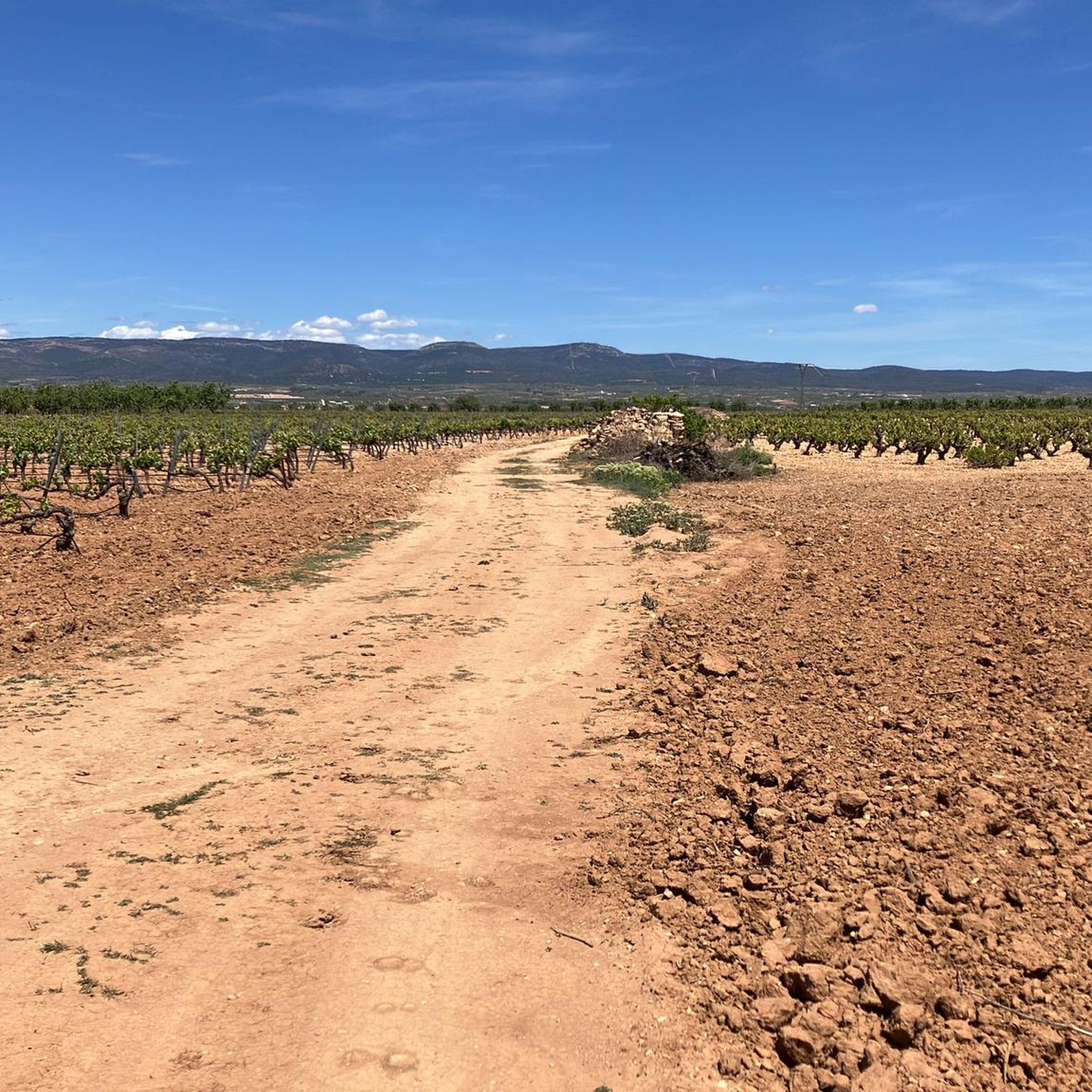
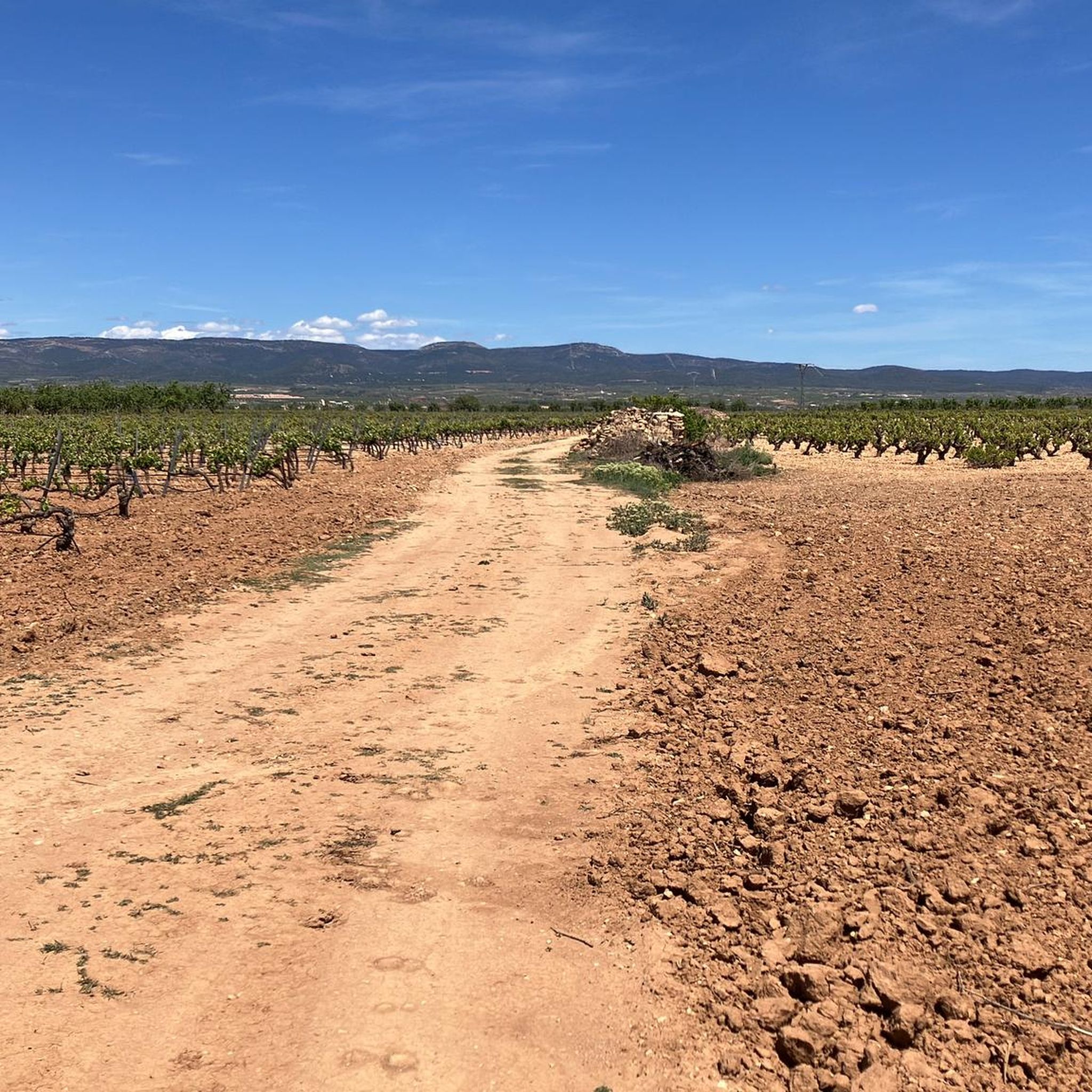
カウデテ・デ・ラス・フエンテス周辺のグラベルサイクリングは、河川流域、山脈、広大なブドウ畑を特徴とする高原の多様な景観を提供します。この地域からは、カブリエル川によって刻まれた壮大な渓谷があるホセス・デル・カブリエル自然公園へアクセスできます。ブドウ畑の中や古代の水源沿いの未舗装路は、グラベルサイクリストに変化に富んだ地形をもたらします。このエリアには、シエラ・デル・ルビアール、シエラ・デ・ラ・セハ、シエラ・デル・ネグレテがあり、高低差のあるルートが楽しめます。
カウデテ・デ・ラス・フエンテス周辺のベストグラベルバイクコース
- 最も人気のあるグラベルバイクコースは、サン・アントニオ・デ・レケーナ発、リオ・マッグロ(オルツナス・デ・アバホ)~レケーナ要塞ループです。このコースは65.3km(40.5マイル)で、所要時間は4時間38分です。この難易度の高いルートはリオ・マッグロ地域を巡り、歴史的なレケーナ要塞を含みます。
- 地元のグラベルバイカーに人気のもう一つのコースは、サン・アントニオ・デ・レケーナ発、ベンタ・デル・モロ~ベンタ・デル・モロループです。これは56.5km(35.1マイル)の難易度の高いコースです。このルートはベンタ・デル・モロ地域を通り抜け、変化に富んだ地形を提供します。
- 地元のグラベルバイカーに愛されているのは、カウデテ・デ・ラス・フエンテス発、国の漫画の壁画~ウティエル鉄道駅ループです。このコースは42.6km(26.4マイル)で、田園地帯を通り抜け、所要時間は約3時間15分です。
- カウデテ・デ・ラス・フエンテス周辺のグラベルサイクリングは、高い高原、広大なブドウ畑、河川の谷によって特徴づけられます。このネットワークは、中程度から難しいレベルまで、さまざまなスキルレベルに対応するオプションを提供します。
- カウデテ・デ・ラス・フエンテスのルートは、komootコミュニティから高く評価されており、1件以上のレビューから平均5.0つ星のスコアを獲得しています。90人以上のグラベルバイカーがkomootを利用して、カウデテ・デ・ラス・フエンテスの変化に富んだ地形を探索しました。
最終更新日: 8月 28, 2026
5
ライダー
57.3km
04:35
730m
730m
難しいグラベルライド. 標準以上のフィットネスレベルが必要です。 全般的に舗装された状態です。あらゆるスキルレベルに適しています。
3
ライダー
65.3km
04:40
750m
750m
難しいグラベルライド. 標準以上のフィットネスレベルが必要です。 全般的に舗装された状態です。あらゆるスキルレベルに適しています。

無料新規登録
2
ライダー
56.5km
04:09
550m
550m
難しいグラベルライド. 標準以上のフィットネスレベルが必要です。 全般的に舗装された状態です。あらゆるスキルレベルに適しています。
1
ライダー
42.6km
03:15
480m
480m
難しいグラベルライド. 標準以上のフィットネスレベルが必要です。 全般的に舗装された状態です。あらゆるスキルレベルに適しています。
1
ライダー
58.8km
04:34
760m
760m
難しいグラベルライド. 標準以上のフィットネスレベルが必要です。 全般的に舗装された状態です。あらゆるスキルレベルに適しています。
おすすめのツアーは他のkomootユーザーが実際に経験した何千ものアクティビティに基づいています。
無料アカウントで今日から始めよう
次の冒険が待っています。
ログインまたは登録

コミュニティからのヒント

Utielの出口のロータリーから始まり、11.5kmで460mを登ります。平均勾配は4%です。最初の6kmは150mを2.5%の勾配で登り、エンジンを温めます(この区間は交通量が多いです)。そして最後の5.5kmで最後の310mを登り切り、この区間は車の通行が少なく、平均5.6%の勾配ですが、進むにつれてきつくなっていきます。
0
0
Utielの出口のロータリーから始まり、11.5kmで460mを登ります。これは平均勾配4%となり、最初の6kmは150mを2.5%で登りエンジンを温めます(ただし、この部分は交通量が多いです)。その後、最後の5.5kmで最後の310mの報酬を得ます。この区間は車が少なく、平均5.6%ですが、進むにつれて勾配がきつくなります。
0
0

Be careful...I had a puncture here due to bad road surfaces
0
0

Stage 2. Villargordo del Cabriel/Requena 86 kilometers. 1,090 positive meters. The milestones of the Natural Trail leave the urban complex of Villargordo del Cabriel, cross the passes of the N-III and the A-3 highway, travel through the rural hills of La Erilla and pass through Jaraguas, a village belonging to the municipality of Venta del Moro , with sites of Iberian and Roman settlements. The route goes through the hamlet and on the outskirts it passes through the Rambla de la Albosa, a very pleasant corner with a cozy walkway of giant poplar trees, the communal laundry and a historic fountain. The signal posts pass near the salt flats of Mina Lolita, a spring of saline waters exploited since Roman times. The route connects with the Camino Real from Castilla to Valencia and follows the same path as the previous day to the flood-prone Magro river boulevard and its disturbing river jungle. The stage could end in half a day in Requena, about 40 kilometers from Villargordo del Cabriel, but it is worth ignoring this option and continuing through the Magro river valley towards El Rebollar and Siete Aguas, in the section we call “Turia sector”. After Requena, the Magro River canyon is spectacular, a forest gallery of poplars, poplars, ash, willows and walnut trees between stone walls that keep the riverbed isolated from agricultural fields, dedicated mainly to the cultivation of vineyards, olive and almond trees. The path passes through the curious hermitage of San Blas, in the neighborhood of Las Ollerías, built in the 18th century in the premises of an old agricultural farm on the bank of the Magro River. In the ravine lane there are also marks of the Camino de Santiago of the Wool Route, used for centuries by walkers, pilgrims and merchants between the Mediterranean coast and the city of Burgos. The posts of the Natural Trail leave the gorge of the Magro River and go up the Fuente Cuca plain to the Requena Aerodrome. At the entrance to the airport, the Herrada del Gallego road leaves on the right, an outstanding forest area in the environmental surroundings of Requena.
2
0
In Alto de los Aliagares you have to leave the Natural Path and turn left along a paved track to start the cycle tourism variant of the Hoces del Cabriel Natural Park. The rural road passes through the village of Los Pedriches and continues to Venta del Moro, a popular Cabriel municipality on the Camino de la Vera Cruz, one of the great pilgrimage itineraries between Roncesvalles, on the Camino Francés, and Caravaca de la Cruz, in Murcia, following the Templar markers used by the custodians of the “lignum crucis” (the splinter of the cross of Christ) during the transfer to the Murcian sanctuary a thousand years ago. At the Venta del Moro exit there are route signs in several directions and the optimal one for gravel is the lane marked with the PR-CV 345 milestones, direct towards Casas del Rey and Casas de Moya. The landscape is a new environmental transition, a suggestive change from the agricultural plateau of vineyards and agricultural fields to the mountain garrigue setting of the Mediterranean mountain ranges. The colors of the earth, the rock formations and the pine forests announce the entrance to the great canyon of the Hoces del Cabriel, declared a protected natural area in 2005 and a Biosphere Reserve in 2019. In Casas de Moya there is an asphalt slope to the top of the Cerro de las Tres Cruces and then the “bajadadón”. The road begins a dizzying descent trying to discover the abyss of the Cabriel River in the labyrinth of the landscape. The feeling of happiness is absolute, at the end the river is sure to appear and the bicycle speeds down the slopes of the Rubial mountain range. At a crossroads there are signs for a direct route to the Vadocañas bridge, where the connection with the Natural Trail is. For the moment the route continues to the left towards Los Cárceles. On the way you have to cross the El Tochar estate, one of the most famous hunting reserves in Spain. The descent ends on the shore of the Cabriel. The river navigates peacefully, forested and solitary in a grandiose canyon surrounded by mountains and mountain ranges. The road crosses the Cabriel River in the village of Los Cárceles and enters the province of Albacete, a lost paradise near the ruins of the Villamalea bridge, one of the remains of the old Baeza-Utiel train line. The railway was designed at the beginning of the 20th century to connect Andalusia with Catalonia, with the commercial purpose of facilitating the exchange of Andalusian products such as oil, cereals, livestock or saffron, with Catalan items such as fruit, vegetables and machinery. The start of the Civil War, in 1936, paralyzed the works and the railway was never inaugurated, breaking all dreams of opportunities and future.
1
0

Venta del Moro is a charming town, located very close to the crystal clear waters of the Cabriel River. It is a strategic place, if you are thinking of starting a good walk or bicycle route.
2
1
Jaraguas is a municipality in the interior of Valencia. Its picturesque streets preserve the charm of a rural town. If you pass by, I invite you to discover the authenticity and calm that characterizes it.
1
0

Stage 2. Villargordo del Cabriel/Requena 86 kilometers. 1,090 positive meters. The milestones of the Natural Trail leave the urban complex of Villargordo del Cabriel, cross the passes of the N-III and the A-3 highway, travel through the rural hills of La Erilla and pass through Jaraguas, a village belonging to the municipality of Venta del Moro , with sites of Iberian and Roman settlements. The route goes through the hamlet and on the outskirts it passes through the Rambla de la Albosa, a very pleasant corner with a cozy walkway of giant poplar trees, the communal laundry and a historic fountain. The signal posts pass near the salt flats of Mina Lolita, a spring of saline waters exploited since Roman times. The route connects with the Camino Real from Castilla to Valencia and follows the same path as the previous day to the flood-prone Magro river boulevard and its disturbing river jungle. The stage could end in half a day in Requena, about 40 kilometers from Villargordo del Cabriel, but it is worth ignoring this option and continuing through the Magro river valley towards El Rebollar and Siete Aguas, in the section we call “Turia sector”. After Requena, the Magro River canyon is spectacular, a forest gallery of poplars, poplars, ash, willows and walnut trees between stone walls that keep the riverbed isolated from agricultural fields, dedicated mainly to the cultivation of vineyards, olive and almond trees. The path passes through the curious hermitage of San Blas, in the neighborhood of Las Ollerías, built in the 18th century in the premises of an old agricultural farm on the bank of the Magro River. In the ravine lane there are also marks of the Camino de Santiago of the Wool Route, used for centuries by walkers, pilgrims and merchants between the Mediterranean coast and the city of Burgos. The posts of the Natural Trail leave the gorge of the Magro River and go up the Fuente Cuca plain to the Requena Aerodrome. At the entrance to the airport, the Herrada del Gallego road leaves on the right, an outstanding forest area in the environmental surroundings of Requena.
0
0
カウデテデラスフェンテスでのの人気観光スポット

komootモバイルアプリでインスピレーションを得よう


さらに探索
他の地域の最高のグラベルライドを見てみましょう。
