Top 6 Caves ヴァトガッセンでの
次の冒険でヴァトガッセンの洞窟を訪れてみませんか?素敵なアウトドア体験の計画をお手伝いできるよう、ヴァトガッセンにある 6
の素晴らしい洞窟をまとめました。他のユーザーの体験に基づいた情報なので、どれも信頼できるおすすめのガイドです。次の冒険を計画する際の参考にしましょう。
最終更新日: 10月 13, 2026
フォン・デア・ハイト鉱山の旧ビールセラー
ハイライト • 歴史的な場所
翻訳者 Google •
役立つ情報 は

シュヴァルツェンホルツのマリア洞窟
ハイライト • 宗教的な場所
翻訳者 Google •
役立つ情報 は
今すぐサインアップして、こんな場所を発見しよう
最高のシングルトラック、ピーク、その他のエキサイティングなアウトドアスポットのおすすめを受け取ろう。
ニーダーリンベルガーの岩窟
ハイライト • 洞窟
翻訳者 Google •
役立つ情報 は

岩の洞窟
ハイライト • 洞窟
翻訳者 Google •
役立つ情報 は

バットケーブ(ヴォーバンシュタイク)
ハイライト • 洞窟
翻訳者 Google •
役立つ情報 は
無料でサインアップして、さらに多くの洞窟を発見しましょう ヴァトガッセンでの。
すでにアカウントをお持ちですか?
無料アカウントで今日から始めよう
次の冒険が待っています。
コミュニティからのヒント

As long as the L170 is closed, the caves can be viewed in peace.
0
0

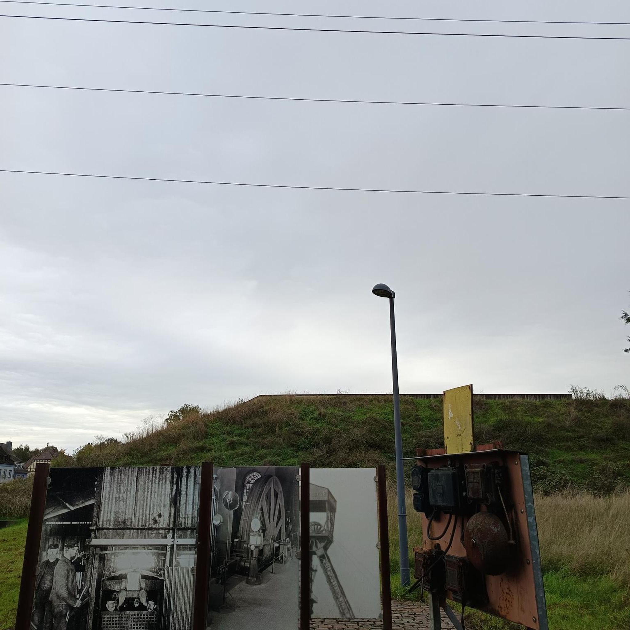
With the closure of the Amelung and Steinbach shafts in 1932 during the global economic crisis, Von der Heydt's time as an independent mine ended. In 1951 the Amelung shafts were swamped and used as extending weather shafts for the Viktoria mine in Püttlingen until 1963. During the construction of the Ludwigsstollen, the composite tunnel between the Luisenthal and Jägerfreude mines, the Amelung shafts were used in 1963 for ventilation, cable transport and material transport.[1] After the mine was finally closed in 1965, the daytime facilities were largely demolished. The mining machine house at the Amelung I shaft, a magazine building from 1885/1886 and the colliery house at the Amelung II shaft, which was built as an administration building and building in the early 1950s when the mine was reactivated, have been preserved.[2] The station building, which was built around 1870, has also been preserved. The station was used for passenger traffic until October 1959; until the end of the 1990s the one in Von der
1
0
it established the connection to the Steinbachtal in the east. The Kirchheckschächte and the Steinbachschächte were built at the Burbach tunnel.[1] Between 1865 and 1869, rope conveying was also used in the Burbach tunnel; between 1873 and 1917 the coal was transported using a chain railway.[2] In 1885 the mine employed 2,777 miners; Over 700,000 tons of coal were mined.[3] Between 1884 and 1886, the Amelung I shaft (named after the mining captain Karl Gustav Amelung, 1818–1866) was sunk; This means that the Von der Heydt mine transitioned from tunnel construction to civil engineering very late.[4] A second production shaft followed in 1899, the Amelung II shaft. In the east of the mine field, the Neuhaus I weather shaft was built in 1901. From 1920, as a result of the Treaty of Versailles, the mine was under French administration. In the district of Rastpfuhl, another weather shaft, the Pasteur or South Shaft, was sunk in 1922.
1
0
The pit - named after the banker and Prussian trade and finance minister August Freiherr von der Heydt (1801-1874) - was built in 1850 and is classified as one of the so-called railway pits that the Prussian mining treasury built when the Saar region was opened up by the Saarbrücken Railway. In 1852 the mine received a railway connection to St. Johann-Saarbrücken. In the upper Burbachtal, the location of the mine, coal mining had been carried out since at least 1770. In 1850, the approximately 1.3 kilometer long Von Heydt tunnel leading to the northwest was struck. In this tunnel, horizontal cable conveyance was used for the first time in Europe in 1862; previously it had been supported with horses. The Lampennest tunnel, which was started in 1853, served to promote the Lampennest mine, located north of the Burbachtal near Güchenbach (today Riegelsberg). Between 1855 and 1862, the approximately 2.3 kilometer long Burbach tunnel was excavated in the opposite direction.
1
0


I hadn't quite found the spot now, but when it gets dark you can see a bat everywhere on the ledges.
1
0
When the weather is bad, you walk down the mountain in a small creek. Danger! Very muddy and wet, sturdy shoes necessary otherwise you can only get backwards if your feet are dry.
0
0

Very nice section if you drive past it and only have the route in view
0
0
ヴァトガッセンでのの人気観光スポット

komootモバイルアプリでインスピレーションを得よう


さらに探索
最高の洞窟を探す範囲を広げるために、これらのガイドをチェックしましょうヴァトガッセンでの:
