ウエスの湖・トップ20
Ueß周辺の最高の湖は、主にドイツ、ラインラント=プファルツ州のフォールカナイフェル(Vulkaneifel)地区にあるマール(Maare)として知られる火山湖です。この地域は、その火山活動の歴史と独特の地質学的特徴を特徴とし、ユニークな自然景観を提供しています。Ueßは小さな自治体ですが、周辺のアイフェル地方はいくつかの注目すべき湖へのアクセスを提供しています。これらの水域は、自然の美しさと地質学的な洞察を求める訪問者に人気があります。
Ueß周辺の最高の湖
- 最も人気のある湖は、有名な鳥の保護区であり、かつての魚の養殖池であるMaiden Pondです。この浅い湖は約170,000平方メートルをカバーし、その希少な動植物のために保護されています。
- もう一つの必見スポットは、深さ37メートルにも達する深いメロミクティック湖であるUlmener Maarです。アイフェル地方で最も若いマールの一つと考えられており、火山噴火によって形成され、南端には11世紀の城跡がある凝灰岩に囲まれています。
- 訪問者は、円形の遊歩道がある人工湖Heilbachseeも気に入っています。この貯水池は、特に子供たちにとって様々なアトラクションを提供し、サイクリングにも適しています。
- Ueßは、火山性のマールと貯水池で知られています。この地域では、深い火口から人工的に作られた水域まで、さまざまな湖を見て探索することができます。
- Ueß周辺の湖はkomootコミュニティに高く評価されており、さまざまなハイライトで945件以上の「いいね!」と721枚の写真が共有されています。
最終更新日: 8月 20, 2026
ウルメナー・マー
ハイライト • 湖
翻訳者 Google •
役立つ情報 は

ウルメンの上城跡
ハイライト • 城
翻訳者 Google •
役立つ情報 は

今すぐサインアップして、こんな場所を発見しよう
最高のシングルトラック、ピーク、その他のエキサイティングなアウトドアスポットのおすすめを受け取ろう。
無料新規登録
ユングファーヴァイアー
ハイライト • 湖
翻訳者 Google •
役立つ情報 は

ブーザー・ドッペルマール湿地
ハイライト • 自然記念物
翻訳者 Google •
役立つ情報 は


無料アカウントで今日から始めよう
次の冒険が待っています。
ログインまたは登録
コミュニティからのヒント


The Ulmen Maar lies 420 meters above sea level today, covers an area of 5.5 hectares, and is 36 meters deep. The bubbles at the maar's edge demonstrate that volcanism is still active. They bear witness to a turbulent past—but rest assured, there's no eruption in sight! A wall of various rocks and ash, up to 20 meters thick, surrounds the cone. For those interested, these testimonies to this explosive past are beautifully displayed in St. Matthias Church. This unique wall, with its different colored layers and rounded inclusions, is worth seeing for more than just geologists. The slopes of the maar basin are covered with a beautiful forest, which can be explored on a circular walk. A detour to the medieval castle ruins, from which the Crusaders once launched their campaigns, is recommended. The view from the crater rim over the maar and the Eifel beyond will take your breath away. Whether after a sweaty hike or a long drive, the blue of the Ulmer Eifel lake is all too tempting in summer. However, bathing in the maar is prohibited because it is designated as a nature and water protection area.
7
0
The lower castle has completely disappeared. You can still see the beginning of the ring that connected the lower castle and the Ulmen city wall, a two-story outer wall of the palace, as well as a cistern and some foundation walls of other buildings. The old part of Ulmen Castle was built around 1074 AD and likely rests on the remains of a Roman settlement. In the Middle Ages, Ulmen Castle was further expanded and divided into the upper castle, whose remains of the walls still exist, and the lower castle, which extended to the banks of the maar river. Two knightly families lived in the castle, which is believed to have never been attacked or destroyed until 1673 due to its size. Only the Sun King's troops succeeded. It was rebuilt, but fell again in 1689 during the War of the Succession. However, Ulmen Castle was also rebuilt this time, with only the city wall being abandoned. With the invasion of Napoleon's soldiers, Ulmen also became French and later Prussian. The empty castle, whose last descendant died in 1801, was auctioned to a merchant from Cochem, who sold it as a quarry. When a devastating fire burned Ulmen to the ground in the 19th century, the residents of Ulmen rebuilt their houses with stones from the castle. That's why you can still see a coat of arms on some of the stables today. It wasn't until the early twentieth century that Ulmen Castle was declared a listed building and became the property of the municipality of Ulmen. The castle is always freely accessible.
7
0

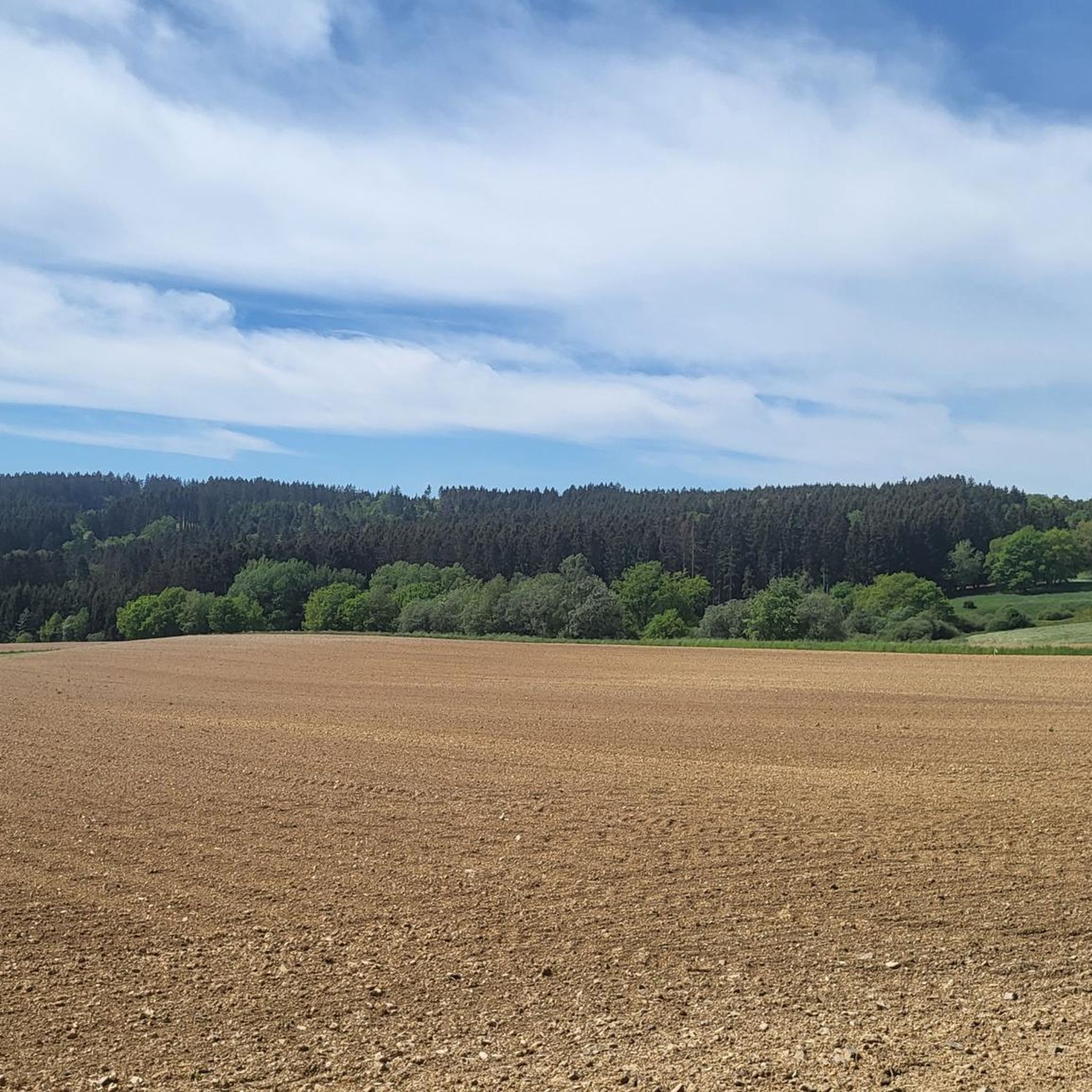
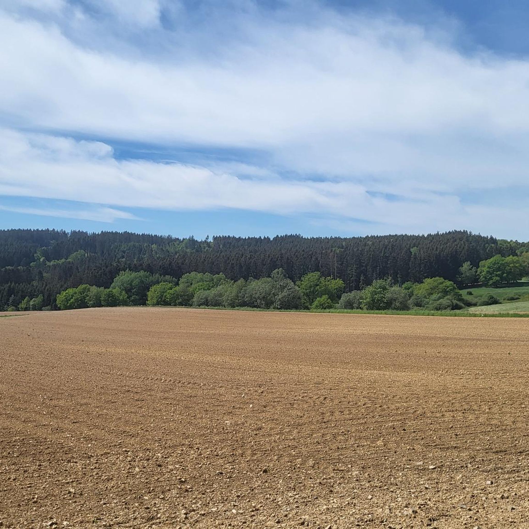
The Boos Double Maar consists of two silted-up maars, which today appear as shallow depressions in the terrain. They are located within the municipality of Boos. The two maars formed between 10,150 and 14,160 years ago and belong to the Quaternary volcanic field of the Volcanic Eifel. The two maars form large, circular basins surrounded by tuff embankments. They lie on a west-southwest-east-northeast trend, thus following the Variscan strike of the subsurface. The west-southwest maar has a diameter of approximately 700 m and a depth of between 30 and 60 m; the east-northeast maar is between 650 and 700 m and a depth of between 50 and 87 m. Both depressions are very humid, so there are still areas that have a permanent water surface. The waters were formerly used as fish ponds, but later silted up and served as meadows and fields. Today, there is once again a fish pond in the west-southwestern part of the maar, the Booser Weiher. In the vicinity of the maars, there are tuff pits where the volcanic tuff formed during the eruption of the maars was mined. Very beautiful nature.
0
0


The history of the Volcanic Eifel can be explored at the Booser Doppelmaar. The Booser Doppelmaar consists of two silted-up maars, which today appear as flat hollows in the terrain. The two maars were formed between 10,150 and 14,160 years ago. Viewed from above, the two maars are circular basins. The west-southwest maar has a diameter of around 700 m and is between 30 and 60 m deep, the east-northeast maar is between 650 and 700 m large and has a depth of 50 to 87 m. The two hollows are very wet, so there are still places that have a permanent water surface. The water areas were previously used as fish ponds, but later silted up and served as meadows and fields. Today there is again a fish pond in the west-southwestern maar, the Booser Weiher, see also https://de.wikipedia.org/wiki/Booser_Doppelmaar
1
1

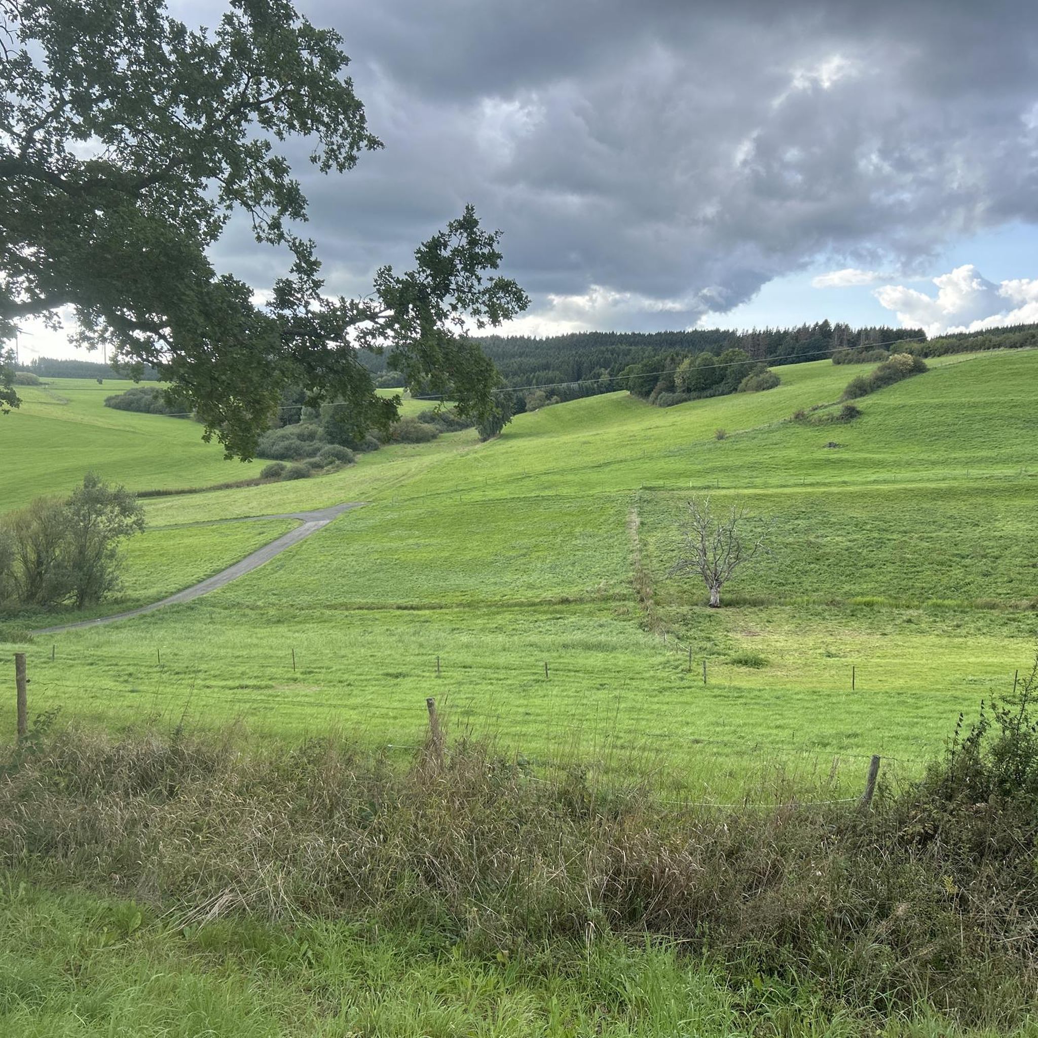
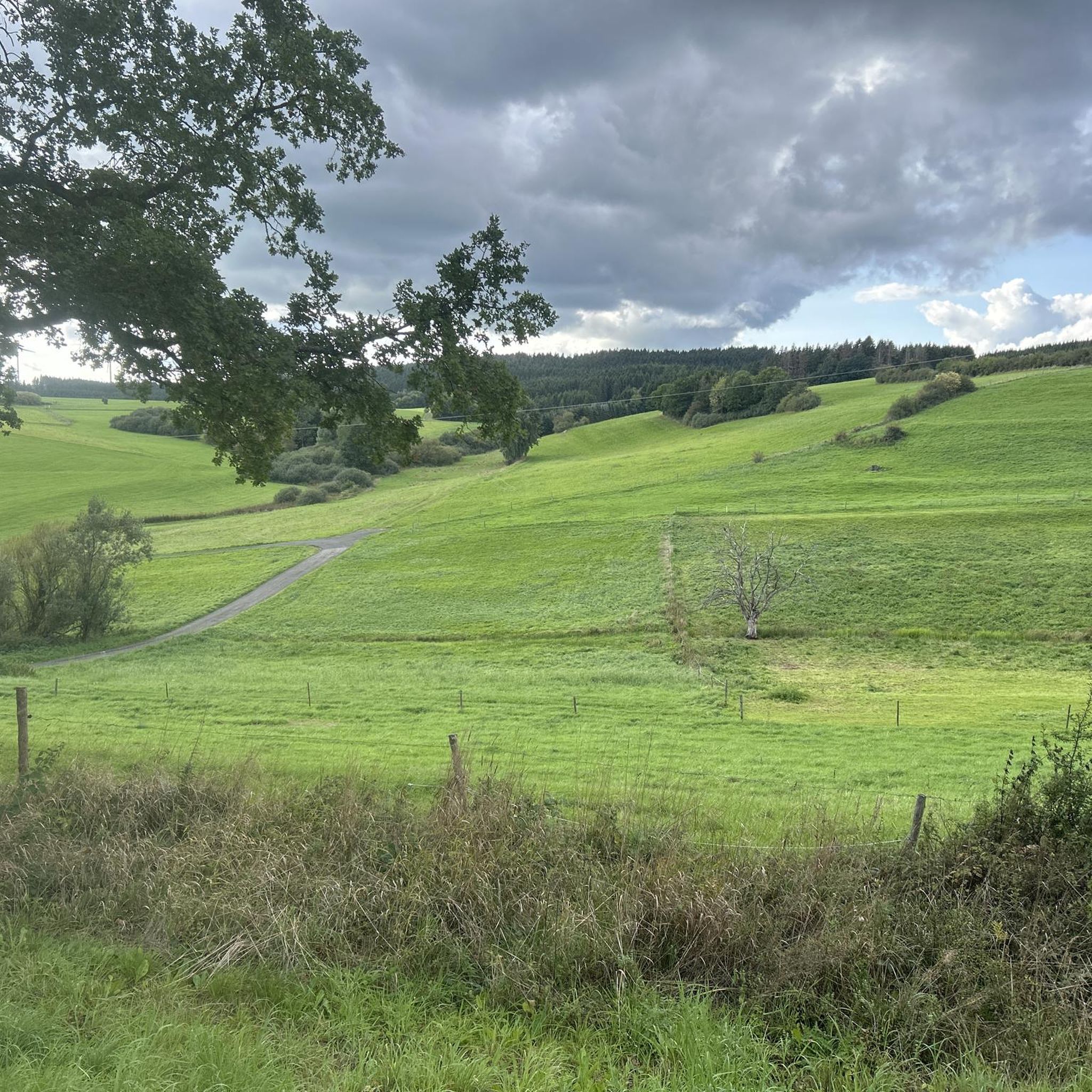
The Ulmener Maar is small but beautiful. Located in the middle of the Eifel and in the middle of the city, it is a wonderful destination. You can easily combine a walk around the maar with a walk around the neighboring Jungferweiher. Both have recently been connected by the Ulmener Maar tunnel, which runs under the A 48 motorway.
6
0

The Jungferweiher Maar is located at an altitude of 428 meters, is 1.7 hectares in size and is very shallow and swampy at 80 cm.
4
0

komootモバイルアプリでインスピレーションを得よう


さらに探索
まだ完璧な湖が見つかりませんかウエスでの?これらの地域のガイドをチェックして、さらに美しい場所を見てみましょう。
