フルカナイフェルの湖・トップ20
最終更新日: 11月 6, 2026
メウゼベルクのドロンケ塔
ハイライト • 展望台
翻訳者 Google •
役立つ情報 は

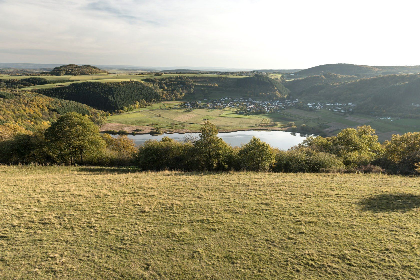
ゲミュンデン・マールの眺め
ハイライト • 湖
翻訳を表示中
役立つ情報 は

今すぐサインアップして、こんな場所を発見しよう
最高のシングルトラック、ピーク、その他のエキサイティングなアウトドアスポットのおすすめを受け取ろう。
ヴァインフェルダー・マール(トーテンマール)の眺め
ハイライト • 湖
翻訳者 Google •
役立つ情報 は

パノラマベンチからのトーテンマーの眺め
ハイライト • 展望台
翻訳者 Google •
役立つ情報 は

マールクロイツ・シャルケンメーレン
ハイライト • 展望台
翻訳者 Google •
役立つ情報 は
Maarsattel
ハイライト • 展望台
翻訳者 Google •
役立つ情報 は
プルファーマール
ハイライト • 湖
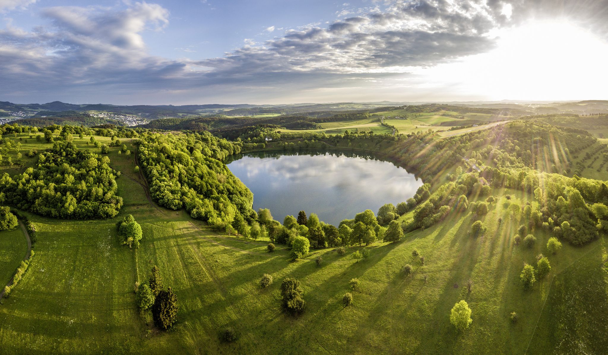
約23,000年前に火山活動によって形成されました。水の深さは約74メートルで、アイフェル地方で最も深いマールであり、ほぼ円形で完全に水で満たされたクレーターは特に印象的です。アイフェルの「目のひとつ」です。
翻訳を表示中
役立つ情報 は

シャルケンメーレンのマール
ハイライト • 湖
翻訳者 Google •
役立つ情報 は

シャルケンメーレナー・マー
ハイライト • 湖
翻訳者 Google •
役立つ情報 は

無料アカウントで今日から始めよう
次の冒険が待っています。
フルカナイフェル周辺で人気
ウリストルック,ウリストアイン - LieserpfadのEifelとモスルアラールの気治
Scenic Trails to Natural Swimming Spots
Germany’s Most Beautiful Hiking Trails in the Vulkaneifel
ラインラント=プファルツの国立自然景観
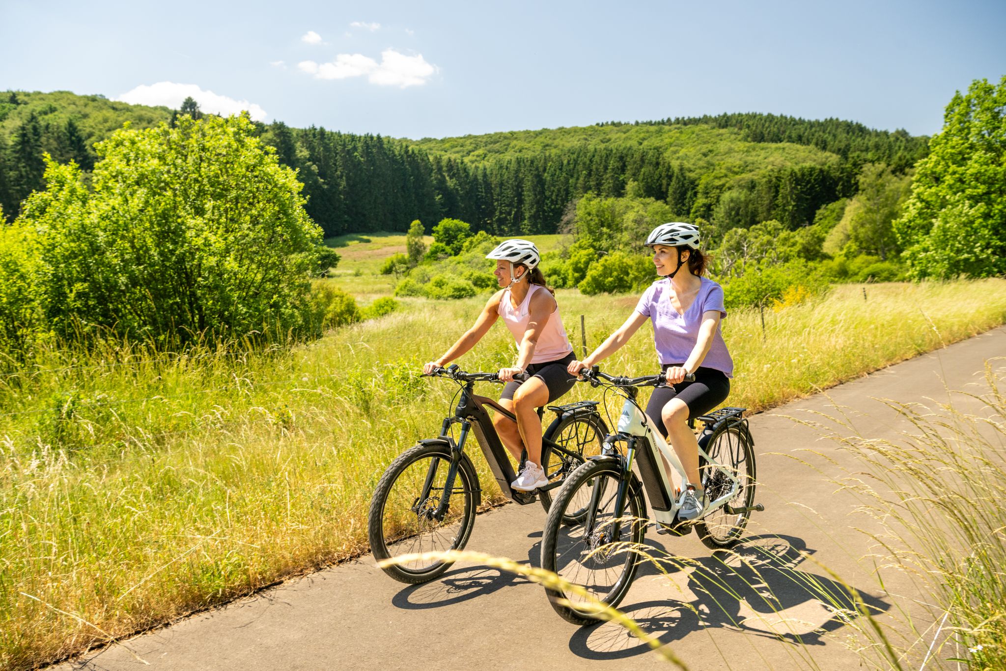
E-biking through the Volcanic Eifel
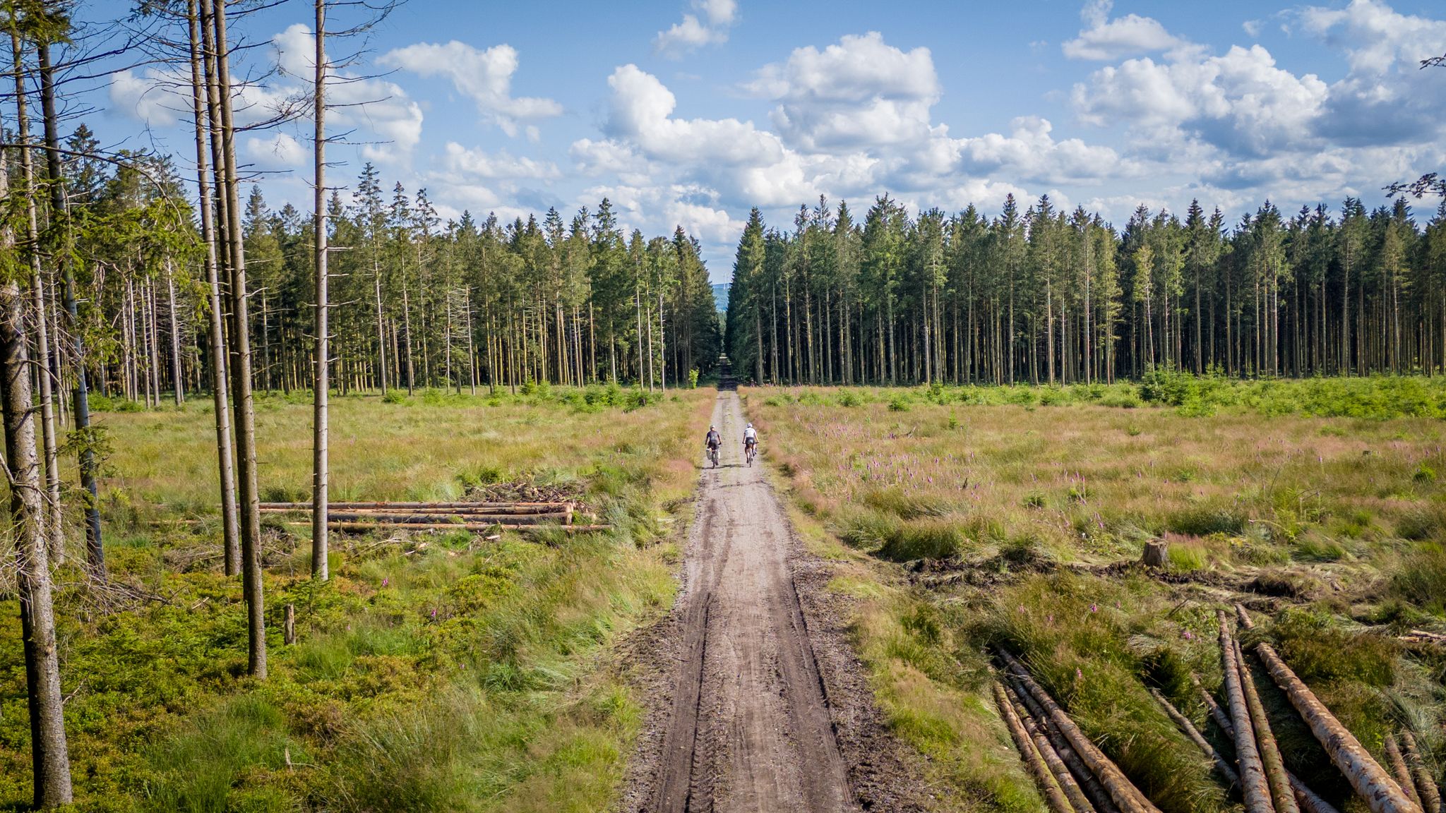
Vennbahn-Variant: A new gravel/MTB adventure
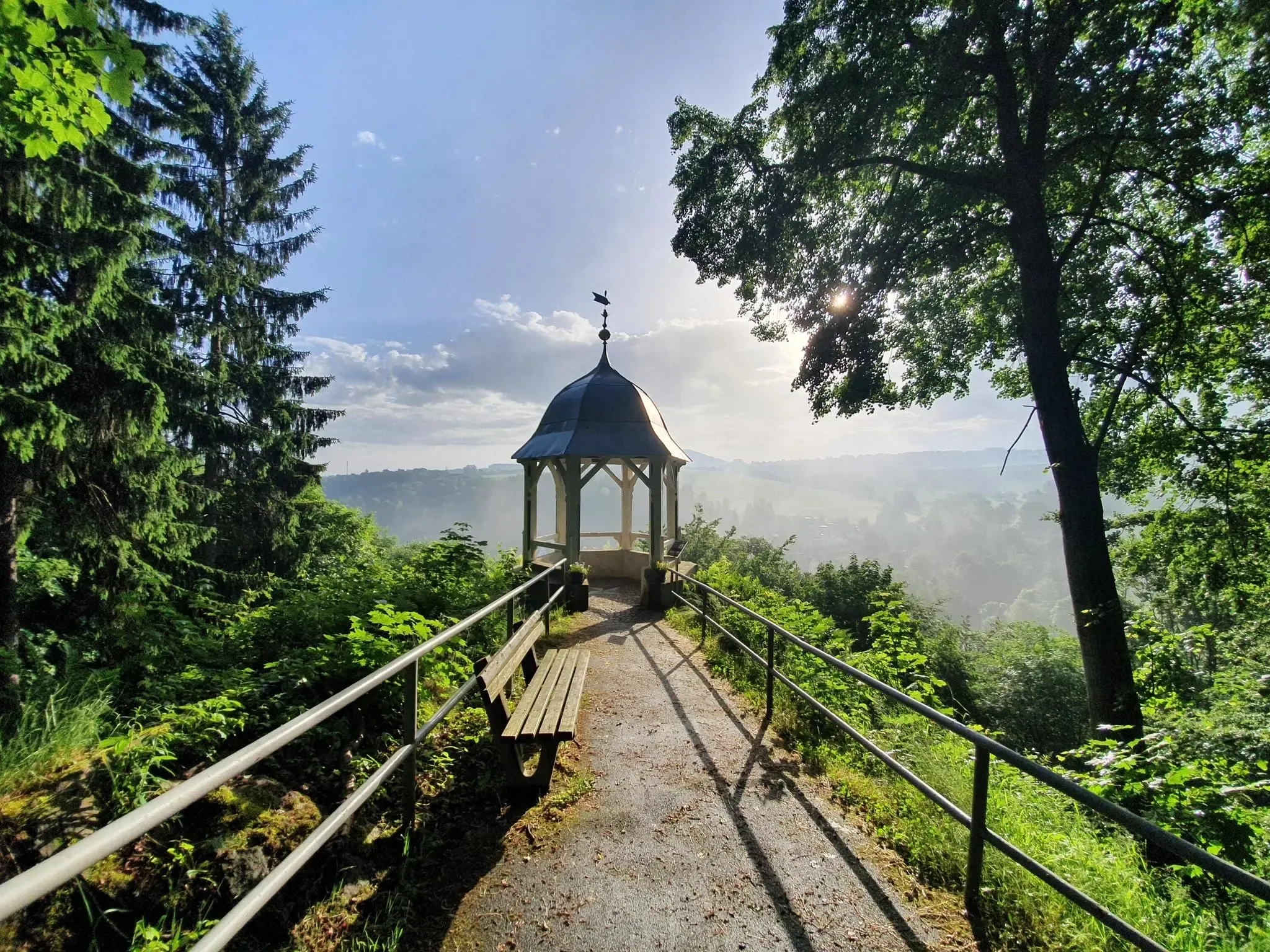
#GoFurther – discover the views of Germany!
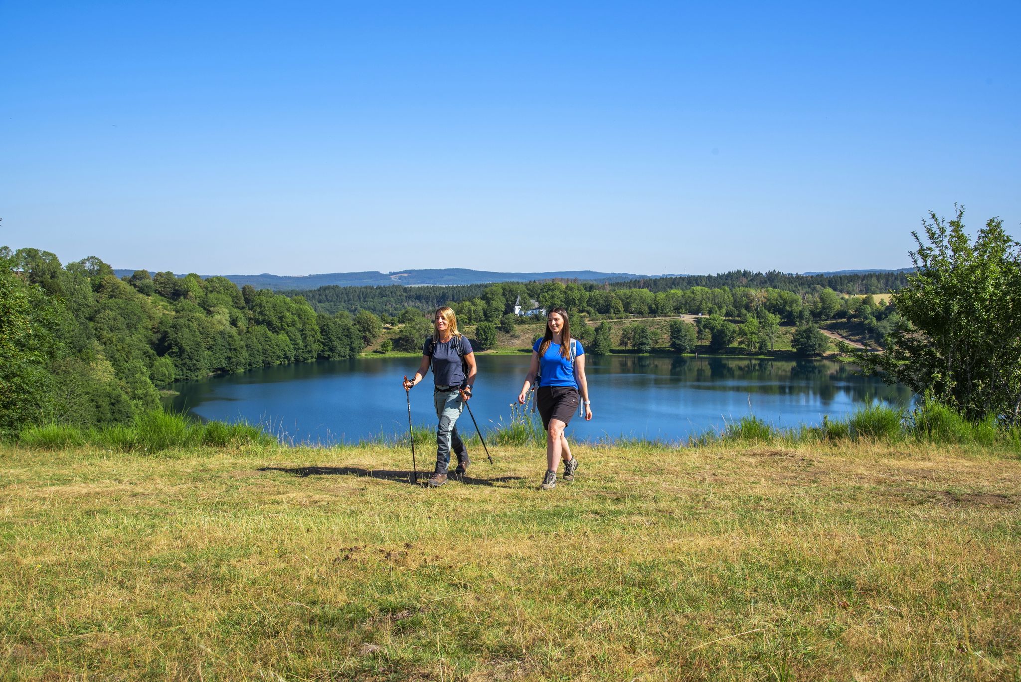
Excellent paths in the Vulkaneifel – Explore the HeimatSpuren
グースラティトラードの水果とライバールの強加がるないりません - ドイイリアイルダウンスの長小の出地
ドイツのアイフェル山脈のプルムタール自転車コースをライド
フルカナイフェルでのの他の冒険


コミュニティからのヒント

The Daun Maars - 10,000-Year-Old Volcanic Lakes The Daun Maars were formed around 10,000 years ago from volcanic steam explosions. Hot lava rises from the Earth's interior and meets water, which suddenly evaporates. This blasts away entire mountain peaks. What remains is a deep crater that fills with water over the years and a wall of boulders surrounding the lake. The Daun Maars include the Gemünden Maar, the Weinfelder Maar, and the Schalkenmehrener Doppelmaar. One crater of the Schalkenmehren Maar has silted up over the millennia. The area is a nature reserve and a refuge for waterfowl and rare dragonfly species. Text / Source: deutschland-outdoor.der https://deutschland-outdoor.de/eifel/dauner-maare
13
0
Weinfelder Maar The Weinfelder Maar, formed by volcanic activity around 20,000 to 30,000 years ago, is the highest of the three Daun Maars at 487 meters above sea level. The lake is 51 meters deep and has a diameter of 396 to 429 meters. An almost melancholic atmosphere surrounds the maar. Many legends surround the tranquil Eifel eye. A castle is said to have once stood on the site of the crater, where a count lived with his wife and only child. After returning home from a hunt, the castle had sunk as punishment for the woman's nastiness, and he found only a lake where a cradle miraculously floated his child safely to the shore. If you look at the dark surface of the water long enough, it is said that you can make out the outline of the castle. The German landscape painter Fritz von Wille was so fascinated by the Weinfelder Maar that he repeatedly immortalized it in his paintings. Among his favorite motifs was the small chapel on the north bank, dedicated to Saint Martin. It was once the parish church of the village of Weinfeld, which was ravaged by the plague in the 16th century. Anyone who rings the bells inside by pulling the ropes can make a wish. To this day, the associated cemetery is maintained and used by the local community of Schalkenmehren. This is also where its second name, Totenmaar, comes from. Donkeys and goats have been introduced to the Weinfelder Maar to regulate vegetation. The maar's unique flora and fauna are protected. Swimming and other water sports are prohibited in the Weinfelder Maar, but a nearly two-kilometer-long path makes it a wonderful place to explore on foot. Parking: Guests can park along the L64 either in the parking lot at the Weinfelder Maar or on the Maarsattel between the Weinfelder Maar and the Schalkenmehrener Maar. Text / Source: GesundLand Vulkaneifel GmbH, Leopoldstr. 9 A, 54550 Daun https://www.eifel.info/a-weinfelder-maar
15
0
Weinfelder Maar - Impressive Evidence of Explosive Geological History The Weinfelder Maar – also known as Totenmaar – is one of the three so-called Daun Maars. It is located about 2 kilometers from our district town of Daun, near the municipality of Schalkenmehren, between the Gemünden and Schalkenmehren Maars. It has a diameter of approximately 525 meters and a depth of 51 meters, making it the deepest of the three Daun Maars. It is the youngest and, at 487 meters above sea level, the highest of the three closely adjacent maars, which formed between 20,000 and 30,000 years ago. Text / Source: Natur- und Geopark Vulkaneifel GmbH, Mainzer Str. 25, Daun https://www.geopark-vulkaneifel.de/eifel/landschaft/maare-und-kraterseen/weinfelder-maar.html
12
0
Weinfelder Maar The Weinfelder Maar, formed by volcanic activity around 20,000 to 30,000 years ago, is the highest of the three Daun Maars at 487 meters above sea level. The lake is 51 meters deep and has a diameter of 396 to 429 meters. An almost melancholic atmosphere surrounds the maar. Many legends surround the tranquil Eifel eye. A castle is said to have once stood on the site of the crater, where a count lived with his wife and only child. After returning home from a hunt, the castle had sunk as punishment for the woman's nastiness, and he found only a lake where a cradle miraculously floated his child safely to the shore. If you look at the dark surface of the water long enough, it is said that you can make out the outline of the castle. The German landscape painter Fritz von Wille was so fascinated by the Weinfelder Maar that he repeatedly immortalized it in his paintings. Among his favorite motifs was the small chapel on the north bank, dedicated to Saint Martin. It was once the parish church of the village of Weinfeld, which was ravaged by the plague in the 16th century. Anyone who rings the bells inside by pulling the ropes can make a wish. To this day, the associated cemetery is maintained and used by the local community of Schalkenmehren. This is also where its second name, Totenmaar, comes from. Donkeys and goats have been introduced to the Weinfelder Maar to regulate vegetation. The maar's unique flora and fauna are protected. Swimming and other water sports are prohibited in the Weinfelder Maar, but a nearly two-kilometer-long path makes it a wonderful place to explore on foot. Parking: Guests can park along the L64 either in the parking lot at the Weinfelder Maar or on the Maarsattel between the Weinfelder Maar and the Schalkenmehrener Maar. Text / Source: GesundLand Vulkaneifel GmbH, Leopoldstr. 9 A, 54550 Daun https://www.eifel.info/a-weinfelder-maar
12
0

At the beginning of the 20th century, the village priest bred trout in the maar, which was around 100,000 years old. In the 1920s the water was drained and its quickly overgrown, fertile ground was used as a viewing area. 80 years later, scientists proved that this was a silted maar. During a core drilling, 23 m of animals found tuff remains from the Laacher See eruption 13,000 years ago. In addition, the funnel lies on a geological fault line that runs from northwest to southeast. The renatured maar is around 120 meters in diameter and offers a biotope for numerous birds. When the maar was revived from 2007, the Oosbach was dammed. Source: 111 places in the Eifel that you have to see Further information: https://de.wikipedia.org/wiki/Eichholzmaar
5
0

The tour around the Schalkenmehrener Maar is wonderful.
1
0

The Pulvermaar in the Vulkaneifel southeast of Daun is a water-filled maar whose almost circular lake is, despite its small area of around 38.48 hectares, one of the deepest in Germany at 72 meters. Like the smaller Holzmaar, it is part of the Gillenfelder Maaren. Beautiful hiking trails and nature.
4
1

The Pulvermaar in the Vulkaneifel southeast of Daun in Rhineland-Palatinate is a water-filled, almost circular maar lake and, despite its small area of around 38.48 hectares, is one of the deepest lakes in Germany at 72 meters. Like the Holzmaar, it belongs to the Gillenfelder Maaren. The Pulvermaar is one of the ten deepest lakes in Germany, only Lake Constance and a few Bavarian lakes (Königssee, Walchensee, Starnberger See and Ammersee) are significantly deeper. The original depth of the funnel created by the phreatomagmatic explosion is estimated to be around 200 m, with a surrounding wall of ejected material approximately 50 m high.
4
1
フルカナイフェルでのの人気ルート

komootモバイルアプリでインスピレーションを得よう


探していたものは見つかりませんでしたか?
地域ごとの最高の湖を見つけましょうフルカナイフェルでの:
さらに探索
まだ完璧な湖が見つかりませんかフルカナイフェルでの?これらの地域のガイドをチェックして、さらに美しい場所を見てみましょう。
