モンフラド周辺のアトラクション&必見スポット - トップ12
モンフラドには必見のスポットがたくさんあります。ハイキング愛好家やサイクリング愛好家の方は、ぜひモンフラドを探索してこのエリアにある12
の隠れたスポットを訪れてみてください。このエリアの必見スポットを確認し、次の冒険に出かける計画を立てましょう。
最終更新日: 10月 18, 2026
メンヒルへ向かう途中のコルク樫
ハイライト • 森
翻訳者 Google •
役立つ情報 は

エコピスタ
ハイライト (セグメント) • サイクリングロード
役立つ情報 は

今すぐサインアップして、こんな場所を発見しよう
最高のシングルトラック、ピーク、その他のエキサイティングなアウトドアスポットのおすすめを受け取ろう。
ソブレイロ・グランデ
ハイライト • 自然記念物
役立つ情報 は

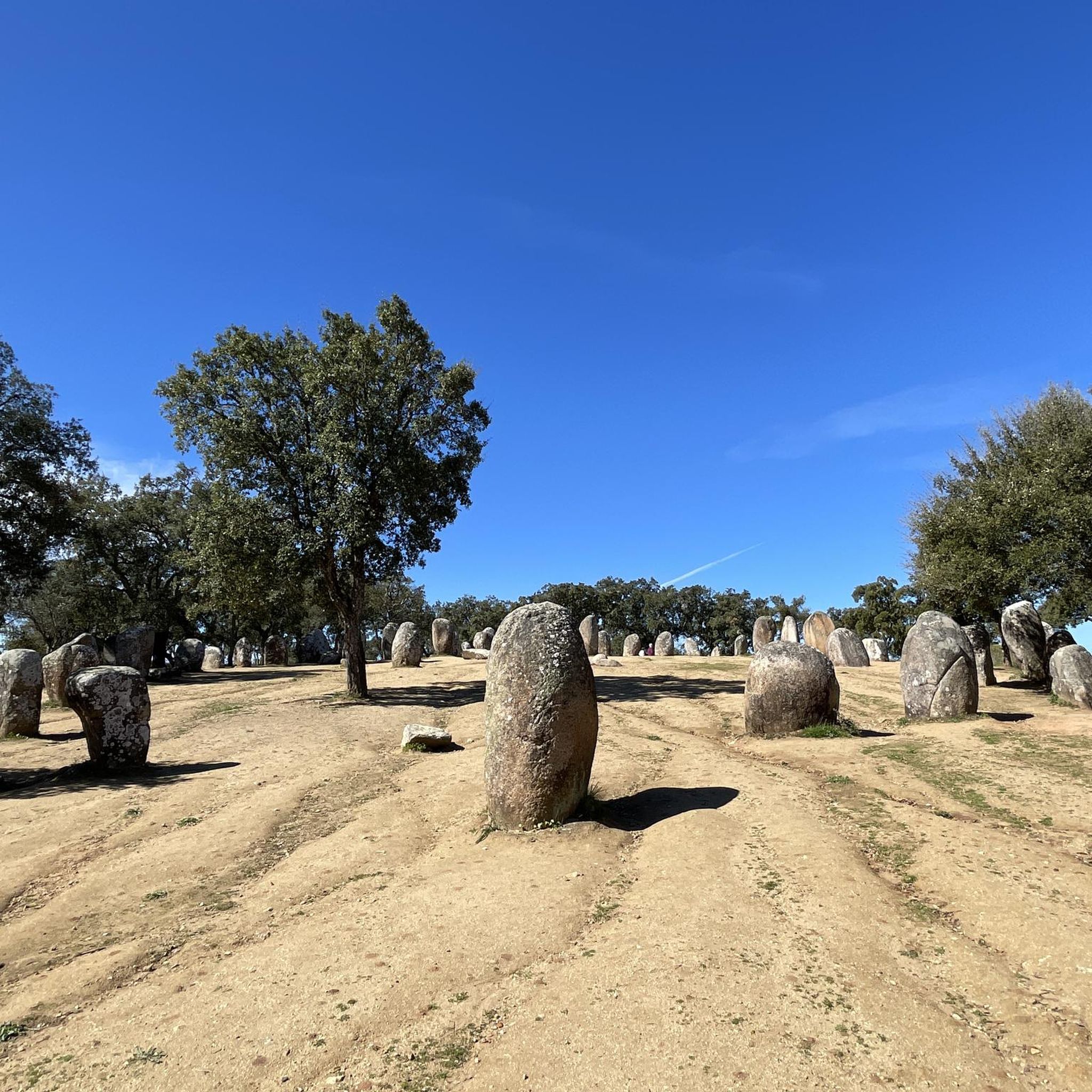
アルメンドレス・クロメレク解説センター
ハイライト • 歴史的な場所
翻訳者 Google •
役立つ情報 は
パタリン
ハイライト • 休憩所
この場所には、泉、トイレ、カフェ・レストランがあります。
Fonte de PatalimとRibeira川
水は、この田園地帯での人間の生存と定住を形作った中心的な要素です。
地理:この地域は、何世紀にもわたって畑の肥沃さを保証してきたPatalim川によって横断されています。
休憩地点:Fonte de Patalimは、この地域を旅する人々にとって、何世代にもわたって不可欠な補給と休息の場所として機能してきました。
Venda do Patalimと王のルート
モンテモル=オ=ノヴォとエヴォラの間の接続軸上に位置しているため、この地域は旅行者向けの商業およびサポートの側面を発展させました。
歴史的な宿:歴史的な文書は、宿泊施設と商業の場所であるVenda do Patalimの存在を明らかにしています。
王の通過:1619年5月、ポルトガル王フィリップ3世(スペイン王フィリップ4世)の随行員は、モンテモル=オ=ノヴォへ向かう途中で、まさにVenda do Patalimを通過しました。
翻訳を表示中
役立つ情報 は

無料でサインアップして、さらに多くの観光スポットを発見しましょう モンフラドでの。
すでにアカウントをお持ちですか?
無料アカウントで今日から始めよう
次の冒険が待っています。


コミュニティからのヒント

モンテモル=オ=ノヴォとエヴォラの中間地点にある休憩に最適な場所。 この場所には、泉、トイレ、カフェ・レストランがあります。 Fonte de PatalimとRibeira川 水は、この田園地帯での人間の生存と定住を形作った中心的な要素です。 地理:この地域は、何世紀にもわたって畑の肥沃さを保証してきたPatalim川によって横断されています。 休憩地点:Fonte de Patalimは、この地域を旅する人々にとって、何世代にもわたって不可欠な補給と休息の場所として機能してきました。 Venda do Patalimと王のルート モンテモル=オ=ノヴォとエヴォラの間の接続軸上に位置しているため、この地域は旅行者向けの商業およびサポートの側面を発展させました。 歴史的な宿:歴史的な文書は、宿泊施設と商業の場所であるVenda do Patalimの存在を明らかにしています。 王の通過:1619年5月、ポルトガル王フィリップ3世(スペイン王フィリップ4世)の随行員は、モンテモル=オ=ノヴォへ向かう途中で、まさにVenda do Patalimを通過しました。
17
0

Located in the village of Guadalupe, near the Almendres Cromlech, this is a space we created in partnership with the Évora City Council. Its main objective is to support visits to the Almendres Cromlech with educational services and interpretative content on archaeology and nature. We also have an educational park that includes reproductions of Paleolithic shelters and a Neolithic hut (full-scale and built with the original materials and techniques), as well as the corresponding everyday equipment, such as hunting weapons, chipped and polished stone tools, ceramics, votive objects, among many others. We also have a collection of 3D replicas of skulls of the main members of the human evolutionary line. This space aims to create the most immersive educational experience possible. We decided to do without all modern interpretation equipment and bring our visitors back to the landscape and the material. We believe that, as Aristotle argued, the most effective way to learn is through experimentation and the use of all the senses.
4
0
The Montado is an agrosilvopastoral system explored at several levels – trees, bushes and herbs – according to the potential of each region. On the tree level it can be made up of oaks like cork oak (Quercus suber), holm oak (Q. rotundifolia) and less frequently pyrene oak (Q. pyrenaica) and portuguese oak (Q. faginea), in pure or mixed populations with variable densities. The ground cover is occupied by pastures used by cattle or is used for dry land crops on a rotation system. The natural pastures can be occupied by shrubs, in variable proportions. Humans are an integral and fundamental part of this ecosystem. It was through our clearing action that the montados were created, ever since we started intervening on our natural surroundings. Human management is necessary, in a more or less intensive way, in order to maintain the montado. Without this intervention, the system evolves, naturally to form a dense forest, where people have more difficulty obtaining resources. The way this process of transformation of the Mediterranean forest developed influenced the structure of the system as it presents today. Some older practices still persist, now without context, making more difficult the adaptation of the system to the new ways of agrarian production. Other ways emerged, some well adapted to the system, other causing more or less serious disturbances. The montado is a system for using the soil developed on a physical background that involves climate, pedological and geomorphological factors with specific characteristics. It is why this ecosystem is restricted to such a limited area, when compared to other ecosystems in our planet.
5
0
Typical Alentejo farm. Private property. Not open to visitors...
3
0

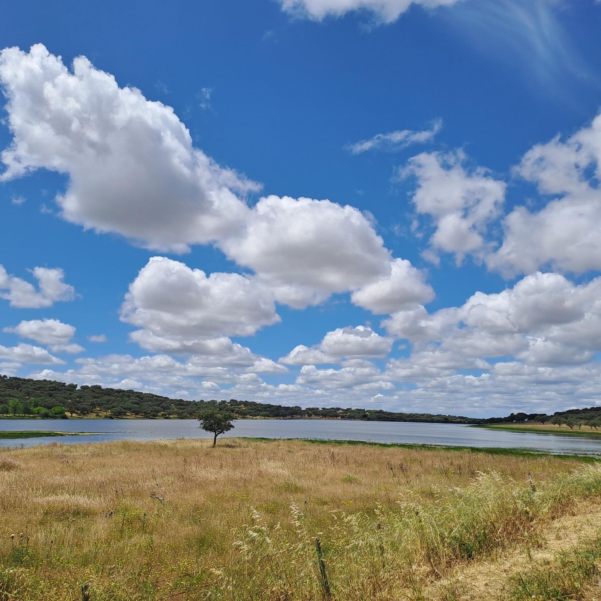
Beautiful path and landscape with a view of the local nature.
2
1

Here you can watch up close how the cork is harvested and slowly grows back.
4
1

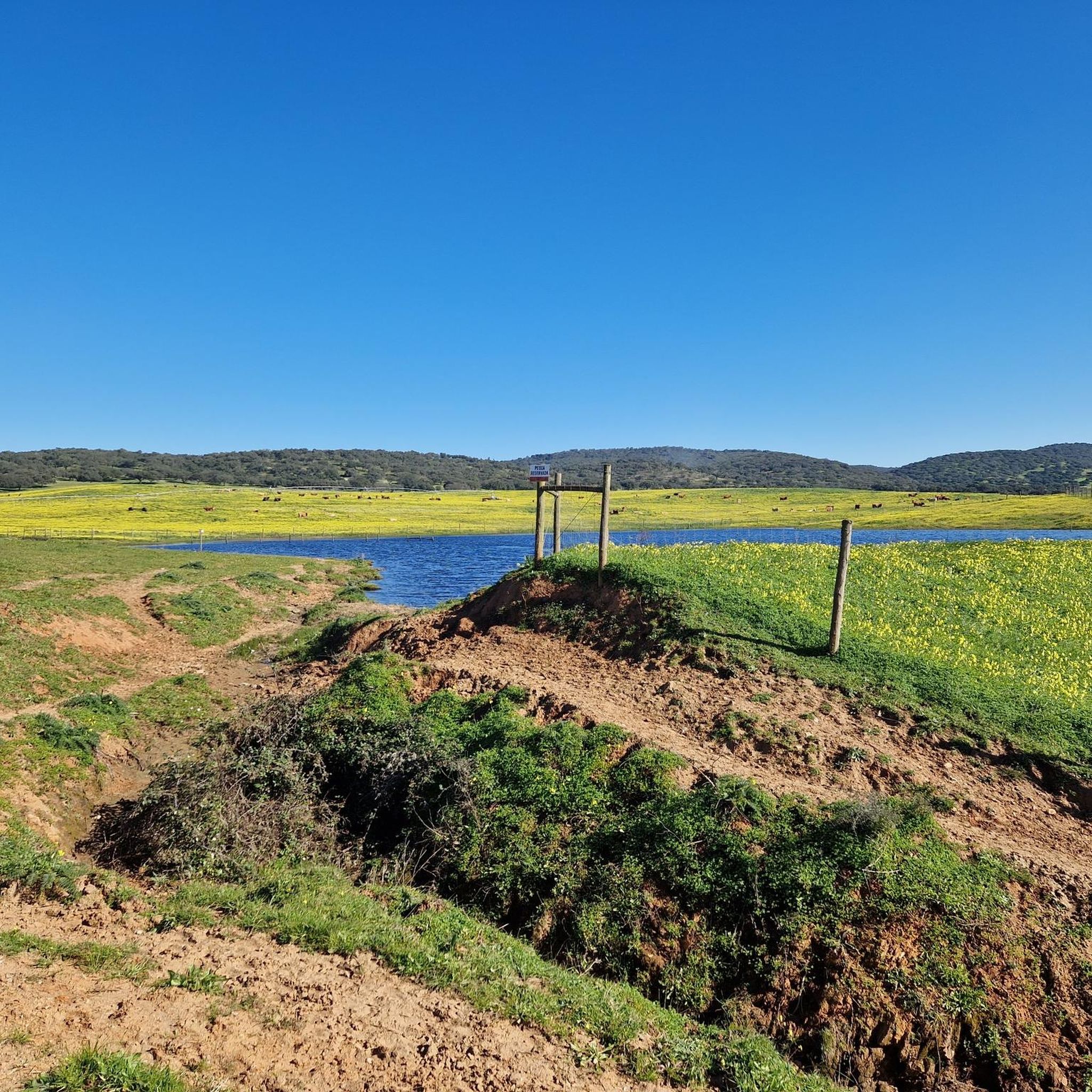
Beautiful pasture landscape that blooms fragrantly in spring.
3
1

This ecopista (old railway turned into cycling path) goes from the city of Montemor-o-novo to Torre de gadanha, which is just a train station where trains don't stop anymore. The track is paved until km4, from where turns to a compact gravel. The landscape is of montado (typical landscape of Alentejo region) with lots of cork trees shadowing the path (which is desirable in this hot region). There is a café next to an old train station of Paião at km8, but the rest of the ecopista is pretty isolated with no water or other services along the way. It is best done on spring when the fields are still green and flowers blossoming. Cattle can also be seen along the way (sheeps, horses and cows).
2
0
モンフラドでのの人気観光スポット

komootモバイルアプリでインスピレーションを得よう


さらに探索
まだ探しているハイライトが見つかりませんか?他の地域のトップアトラクションのガイドを見てみましょう:
