ポルデノーネの絶景の山頂・トップ20
絶景を目指して登るのであれ、達成感のために登るのであれ、山頂を訪れることで、ポルデノーネの美しい自然をもっと満喫することができます。20
もの選択肢の中から、制覇する山頂を決めるのは簡単ではありません。スムーズに次の冒険で目指す山頂を選べるように、ポルデノーネの素晴らしい山頂をこのガイドにまとめました。
最終更新日: 10月 10, 2026
リフージョ・ポルデノーネ
ハイライト • 山小屋
翻訳者 Google •
役立つ情報 は

ビバッコ・ジュリアーノ・ペルージニとヴァル・モンタナイアのカンパニーレ
ハイライト • 山小屋
翻訳者 Google •
役立つ情報 は
今すぐサインアップして、こんな場所を発見しよう
最高のシングルトラック、ピーク、その他のエキサイティングなアウトドアスポットのおすすめを受け取ろう。
モンテ・ジュフ山頂の十字架
ハイライト • 山頂
翻訳者 Google •
役立つ情報 は

チーマ・マネラ(チモン・デル・カヴァッロ)
ハイライト • 山頂
翻訳者 Google •
役立つ情報 は

モンテ・ヴァリニス山頂
ハイライト • 山頂
翻訳者 Google •
役立つ情報 は
ヴァル・モンタニャイアのカンパニーレ
ハイライト • 自然記念物
翻訳者 Google •
役立つ情報 は
パラ・バルザーナ
ハイライト • 山道
役立つ情報 は

サン・フロリアーノ教会
ハイライト • 宗教的な場所
Inside there are services such as the bar and the farmhouse. Various routes that cross it. A place to visit if you do a MTB …
翻訳者 Google •
役立つ情報 は

カセーラ・プラマッジョーレ
ハイライト • 山小屋
翻訳者 Google •
役立つ情報 は

コル・コルニエ
ハイライト • 山頂
翻訳者 Google •
役立つ情報 は

無料でサインアップして、さらに多くの山を発見しましょう ポルデノーネでの。
すでにアカウントをお持ちですか?
無料アカウントで今日から始めよう
次の冒険が待っています。
ポルデノーネ周辺で人気
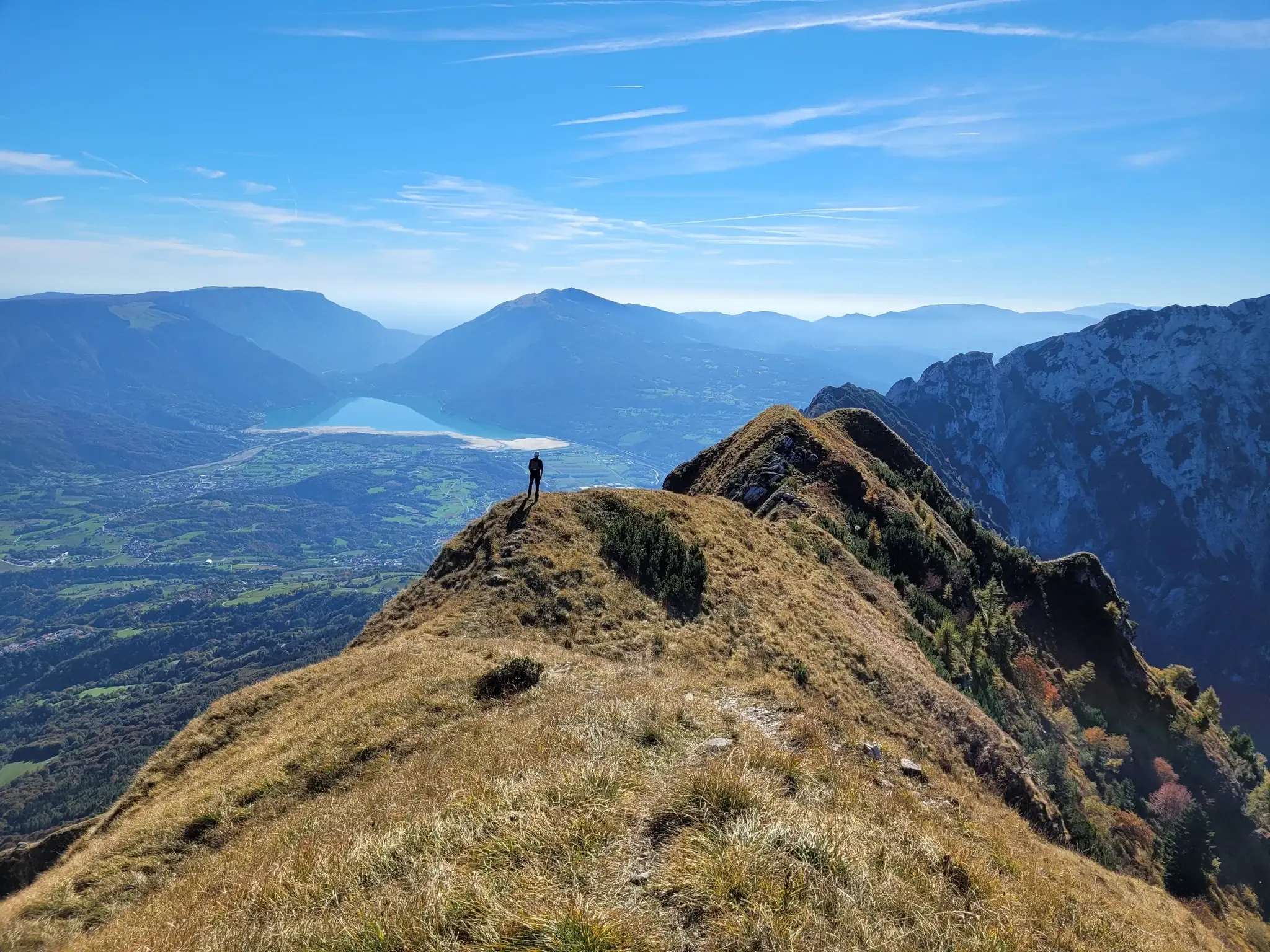
イタリアのパレ山脈の動物書のようなハイキング - Alta Via delle Dolomiti 7

ドロラットアルドスのアルタードルトリス - Alta Via 6
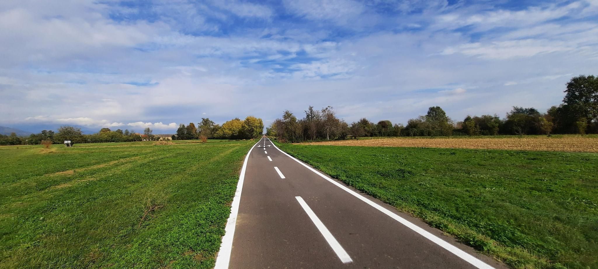
イタリアアルプスを走る – Pedemontana サイクルルート
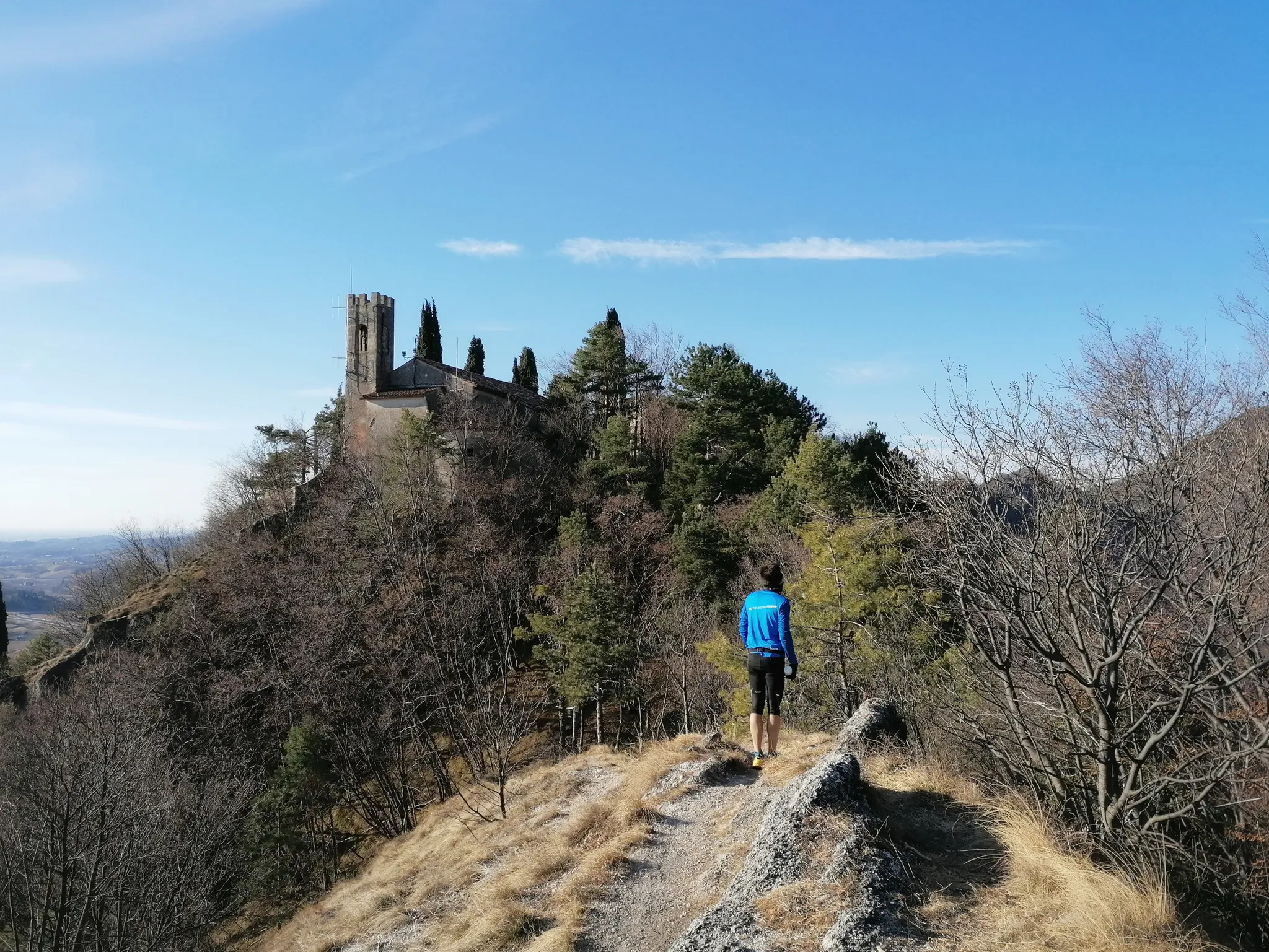
ジェモナからパドヴァへの800年の歴史 - サント・アントニオの道
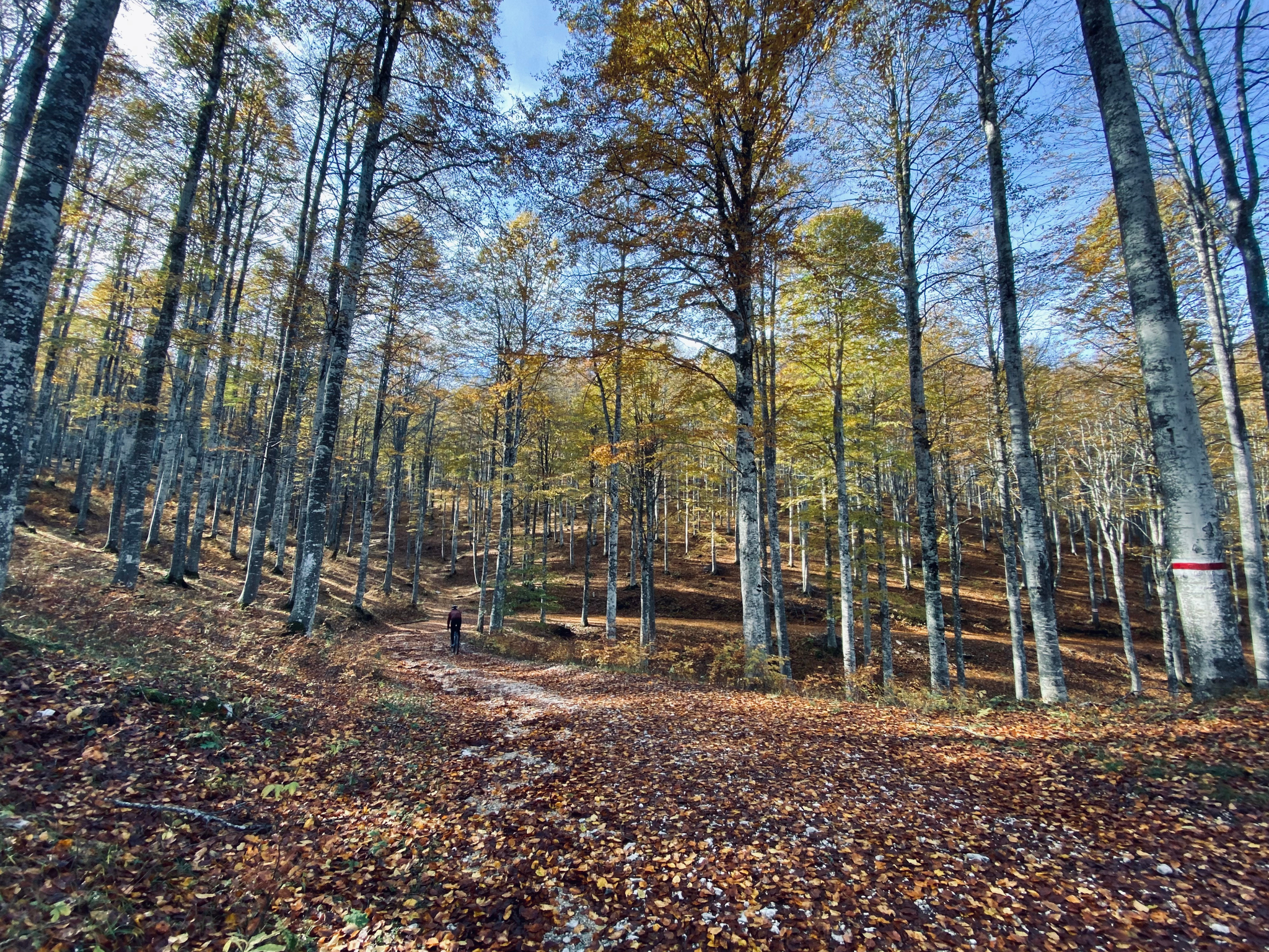
カンシリオの森のグラベルルート3つ
Sappadaの難は - 1987年のJesolo-Sappada
Cycling between sea and mountains in Italy’s Friuli Venezia Giulia
ポルデノーネでのハイキング
ポルデノーネのロードバイクルート
ポルデノーネでのサイクリング
ポルデノーネでのの他の冒険


コミュニティからのヒント


Forcella di Pala Barzana(標高840m)は、Val Colvera(Frisanco、Poffabbro)とVal Cellina(Andreis)を結ぶ県道63号線沿いに位置する、カルニカ前プレアルプス山脈の有名な峠です。両側からのサイクリングでの登りのランドマークであり、モンテ・ラウト、ジョウフ、またはファラへのハイキングの出発点でもあります。 駐車場用の広いスペース、ピクニック用の大きな木造屋根、そして戦没したアルピニ部隊員の記念碑を除き、いかなる施設もありません。
0
0

A beautiful refuge, you can truly feel the refuge atmosphere. Well-managed, excellent food. Thanks to the two managers, Marika and Ivan: extraordinary!
0
0

Pramaggiore Bivouac Hut, 1,812 meters. The usual ascent route to the hut is CAI trail 366, which starts from the Settimana Valley. The trail climbs steeply in switchbacks, skirting the Col de Post, descends to ford the Ciol de Pess stream, and then steeply climbs the wooded slope until it emerges beneath the meadows of the plateau where the hut is located. Just before the hut, on the right, a small pulpit holds a stainless steel statue of the Madonna, commemorating all the young people from the parishes of Azzano Decimo and Pramaggiore who have passed away.
0
0
The summit of Mount Valinis, 1,102 meters, is easily accessible by hiking from all sides. It's easy to reach the paragliding launch point by e-bike. From there to the summit, the ascent and descent by e-bike is quite technical.
1
0

komootモバイルアプリでインスピレーションを得よう


探していたものは見つかりませんでしたか?
ポルデノーネの最高の山や頂上を地域ごとに発見しましょう:
さらに探索
これらのガイドでさらに素晴らしい頂上を見てみましょうポルデノーネでの:
