ベールシュヴィルの峠・トップ19
風景を楽しんだり、上りや下りを満喫したり、峠には楽しみ方がたくさんあります。ベールシュヴィルの素晴らしい峠の一覧を参照して、思い出に残るアドベンチャーに出かけましょう。コミュニティのメンバーがコミュニティのために投稿した峠のハイライトは、他のユーザーが実際におすすめする情報なので、どれも信頼できるものです。気に入った峠にさっそく向かってみましょう。
最終更新日: 8月 20, 2026
ブラッテンパスのビッグベンチ
ハイライト • 記念碑
翻訳者 Google •
役立つ情報 は

ブロッホモン峠
ハイライト • 山道
翻訳者 Google •
役立つ情報 は

今すぐサインアップして、こんな場所を発見しよう
最高のシングルトラック、ピーク、その他のエキサイティングなアウトドアスポットのおすすめを受け取ろう。
無料新規登録
ラミスヴィルからシェルテン峠
ハイライト (セグメント) • 山道
翻訳者 Google •
役立つ情報 は

ヴェルシュゲッテルリ峠
ハイライト • 山道
翻訳者 Google •
役立つ情報 は

シェルテン峠
ハイライト • 山道
翻訳者 Google •
役立つ情報 は

無料でサインアップして、さらに多くの山道を発見しましょう ベールシュヴィルでの。
無料新規登録
すでにアカウントをお持ちですか?
無料アカウントで今日から始めよう
次の冒険が待っています。
ログインまたは登録
コミュニティからのヒント

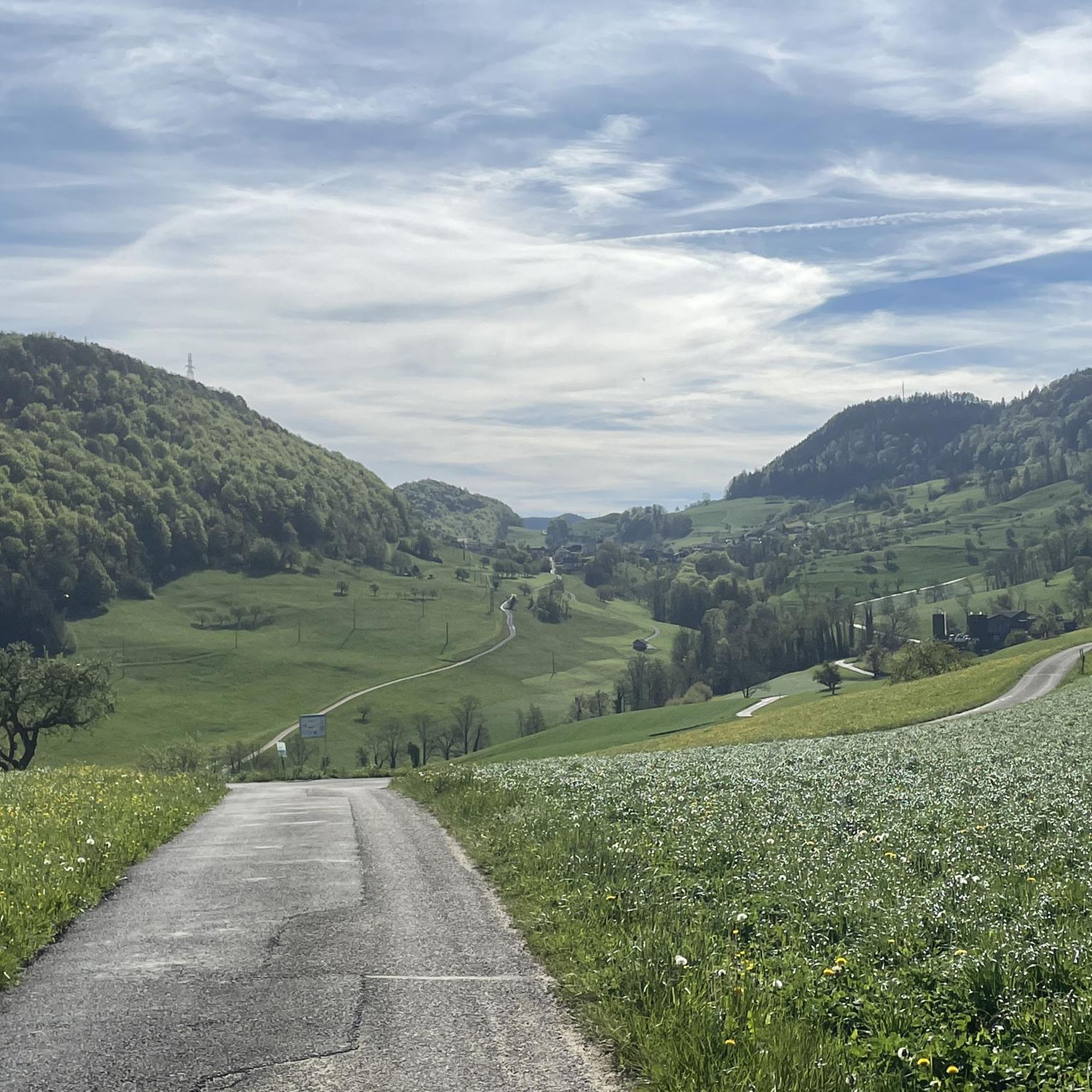
両側とも美しい!メルヴェリエを出発して、まずいくつかの短くて急な坂道を登らなければなりませんが、その後、道は平坦になり、狭い谷を抜けて小川沿いをまっすぐ進みます。シェルテンミューレからは、再び本格的に登り坂になり、そこから峠まで標高差300メートルです。 頂上では、フォルダー・エルツベルク山のレストランへ少し寄り道する価値があります。そこではエネルギー補給ができ、パッスヴァングの方向への素晴らしい景色が楽しめます。
0
0


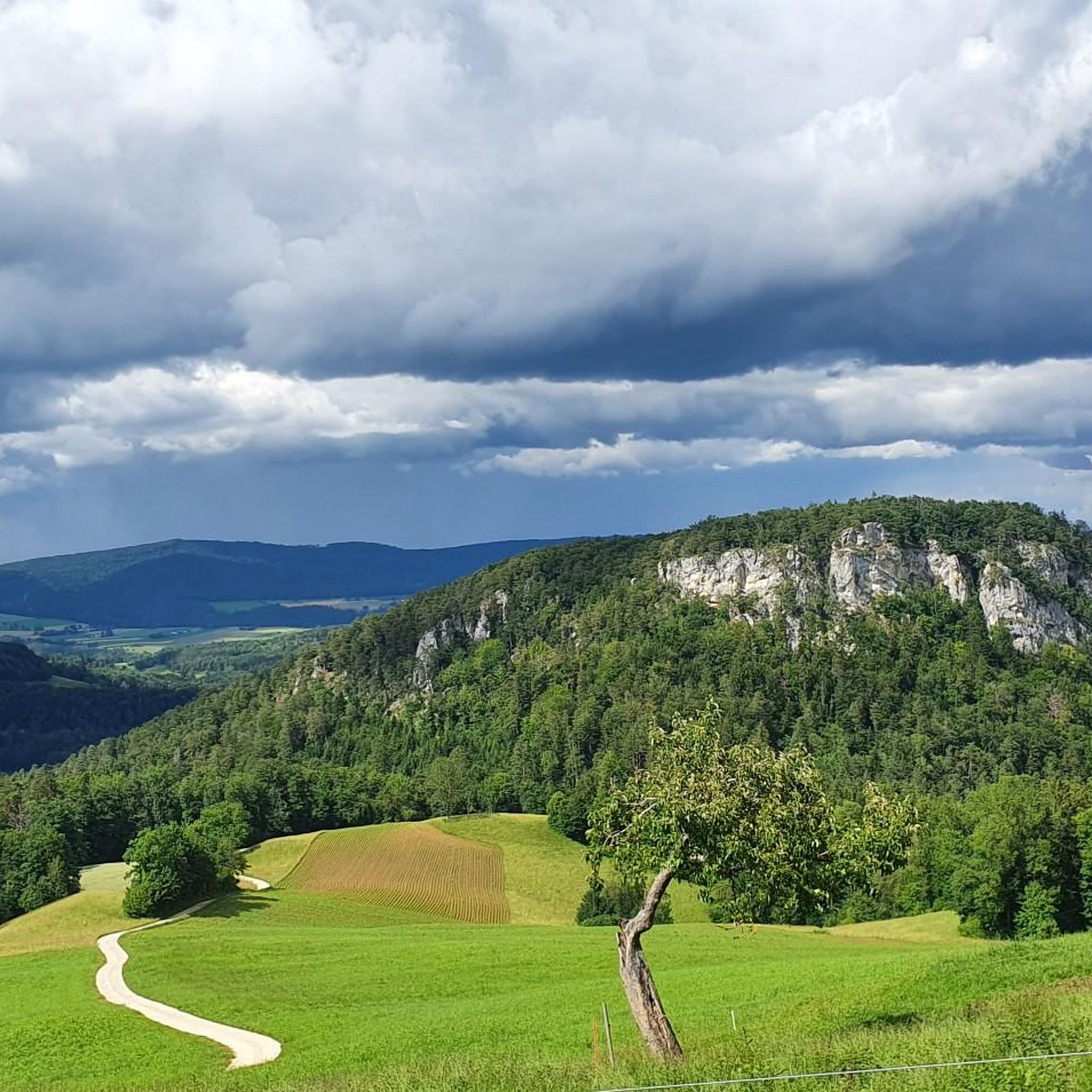
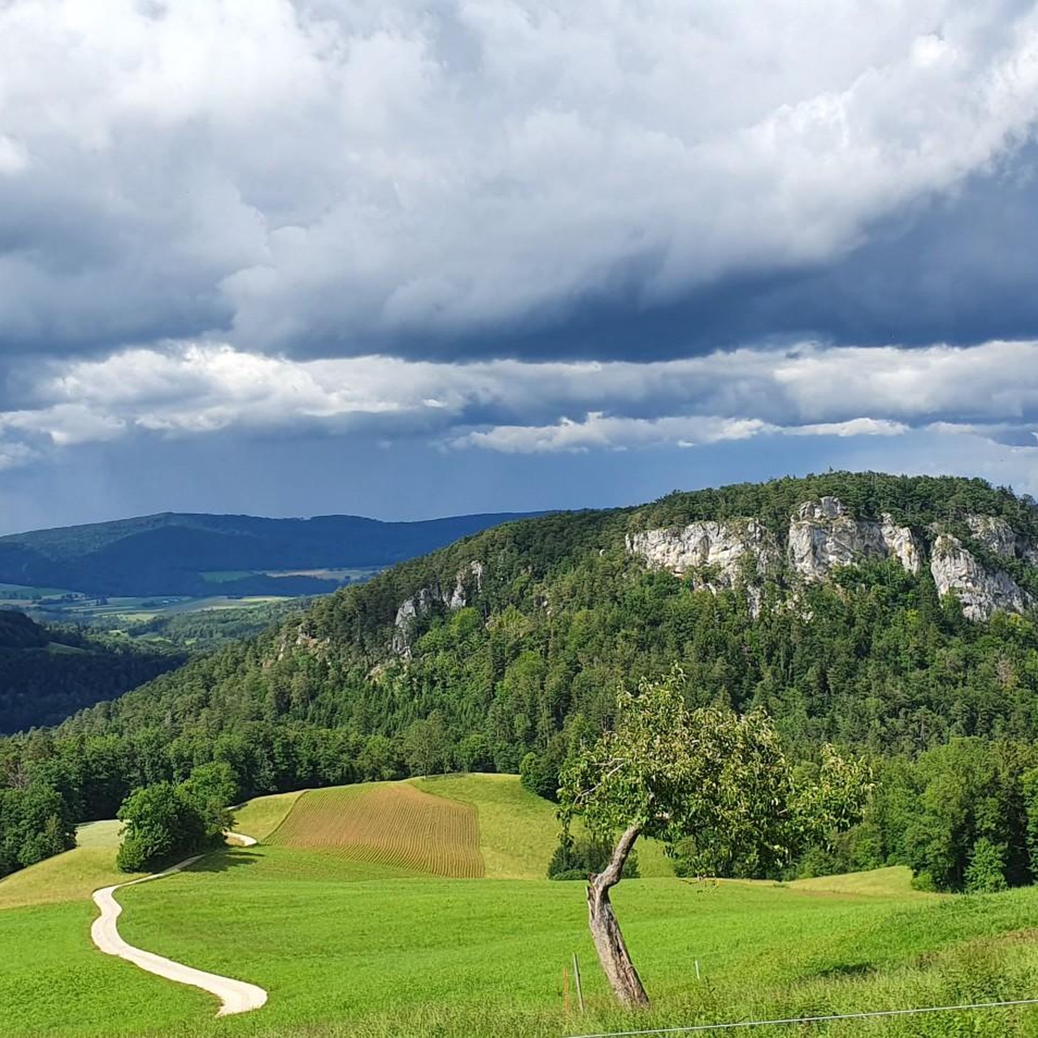
The Welschgätterli is a mountain pass between Montsevelier in the canton of Jura and Erschwil in the canton of Solothurn. Its summit is at an altitude of 810 meters above sea level, directly on the border between the two cantons. A yellow-marked hiking trail leads over the pass, connecting the two villages. You can also hike past the Welschgätterli on the Chemin du Val Terbi, which takes you on a circular route over the heights around Montsevelier. From the summit of the pass, the hike to Montsevelier takes about half an hour and to Erschwil around 40 minutes.
5
0
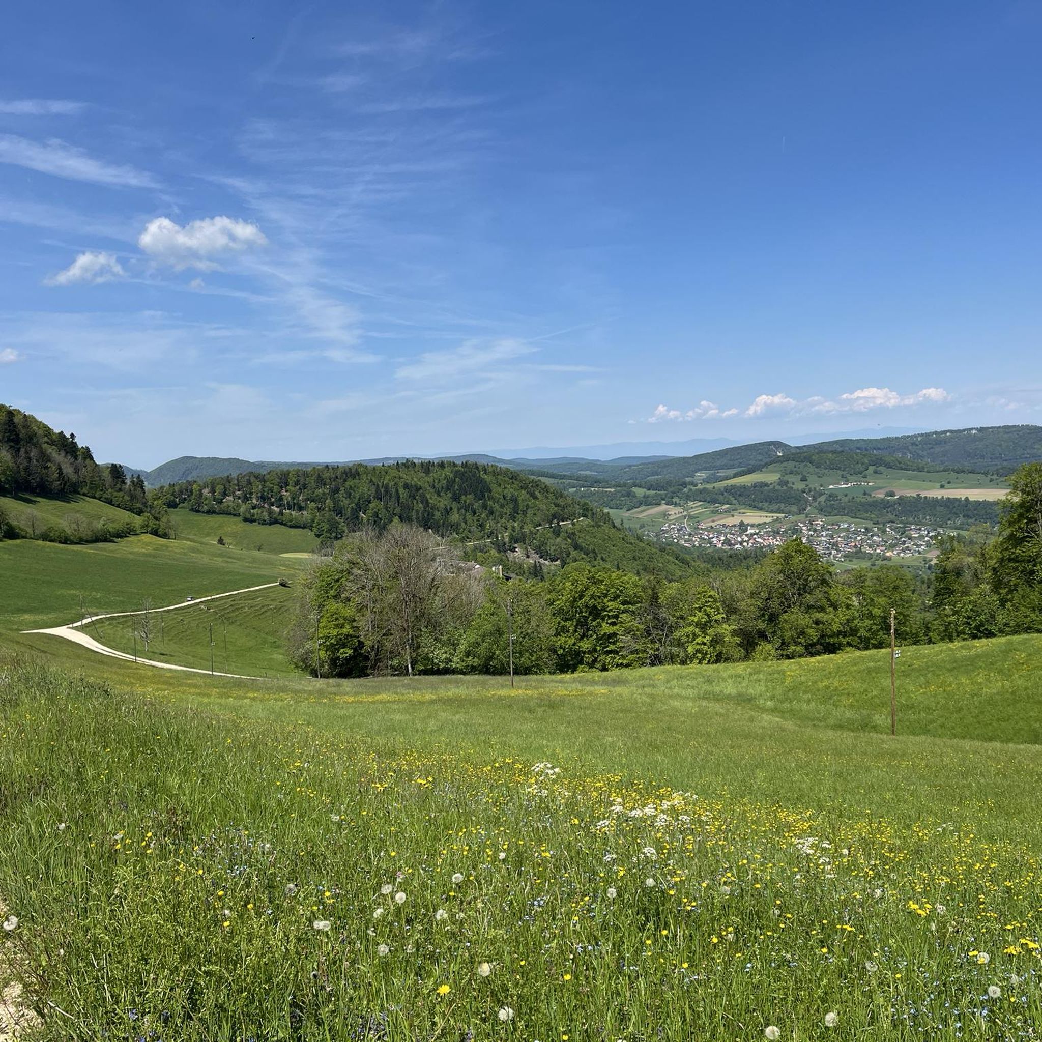
The Blochmont is the perfect Sunday ride pass for a tour through Alsace. Approaching from the north, you'll almost feel like you're in the Tour de France, as the gentle gradient means you can climb really fast. Enjoyable ascents alternate between forest and sunny sections. Reaching the farm at the top means you've completed the climb, though it's certainly not a job; this climb is pure enjoyment.
1
0


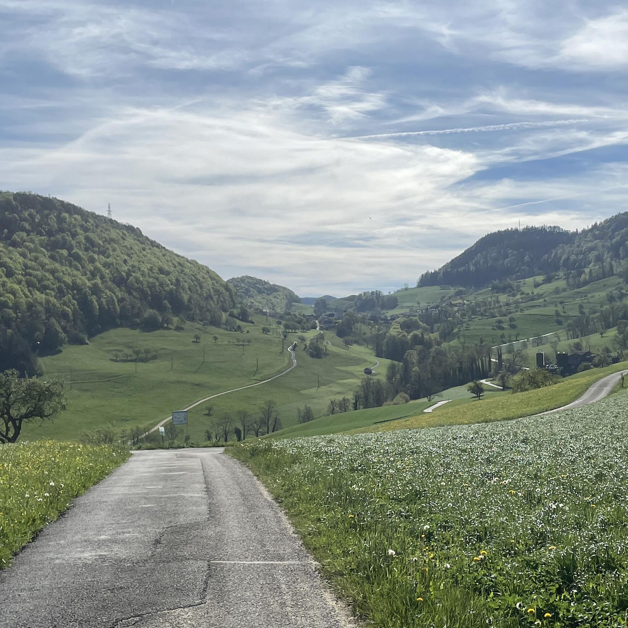
As soon as you see the farm, the ascent is behind you, because coming from either side, the farm is on a relatively flat section at the pass. You hardly notice the pass itself, at some point it just goes down again and you realize that you're already over it...
2
0

komootモバイルアプリでインスピレーションを得よう


