ベールシュヴィルの絶景の山頂・トップ19
絶景を目指して登るのであれ、達成感のために登るのであれ、山頂を訪れることで、ベールシュヴィルの美しい自然をもっと満喫することができます。19
もの選択肢の中から、制覇する山頂を決めるのは簡単ではありません。スムーズに次の冒険で目指す山頂を選べるように、ベールシュヴィルの素晴らしい山頂をこのガイドにまとめました。
最終更新日: 8月 31, 2026
ホーエ・ヴィンデ山頂
ハイライト • 山頂
翻訳者 Google •
役立つ情報 は

ヒルニコプフ山頂
ハイライト • 山頂
翻訳者 Google •
役立つ情報 は

今すぐサインアップして、こんな場所を発見しよう
最高のシングルトラック、ピーク、その他のエキサイティングなアウトドアスポットのおすすめを受け取ろう。
無料新規登録
モン・レム展望塔と展望スポット
ハイライト • 展望台
翻訳を表示中
役立つ情報 は

ヴェルシュゲッテルリ峠
ハイライト • 山道
翻訳者 Google •
役立つ情報 は

Remelturm展望塔
ハイライト • 展望台
翻訳者 Google •
役立つ情報 は

無料でサインアップして、さらに多くの山を発見しましょう ベールシュヴィルでの。
無料新規登録
すでにアカウントをお持ちですか?
無料アカウントで今日から始めよう
次の冒険が待っています。
ログインまたは登録
コミュニティからのヒント

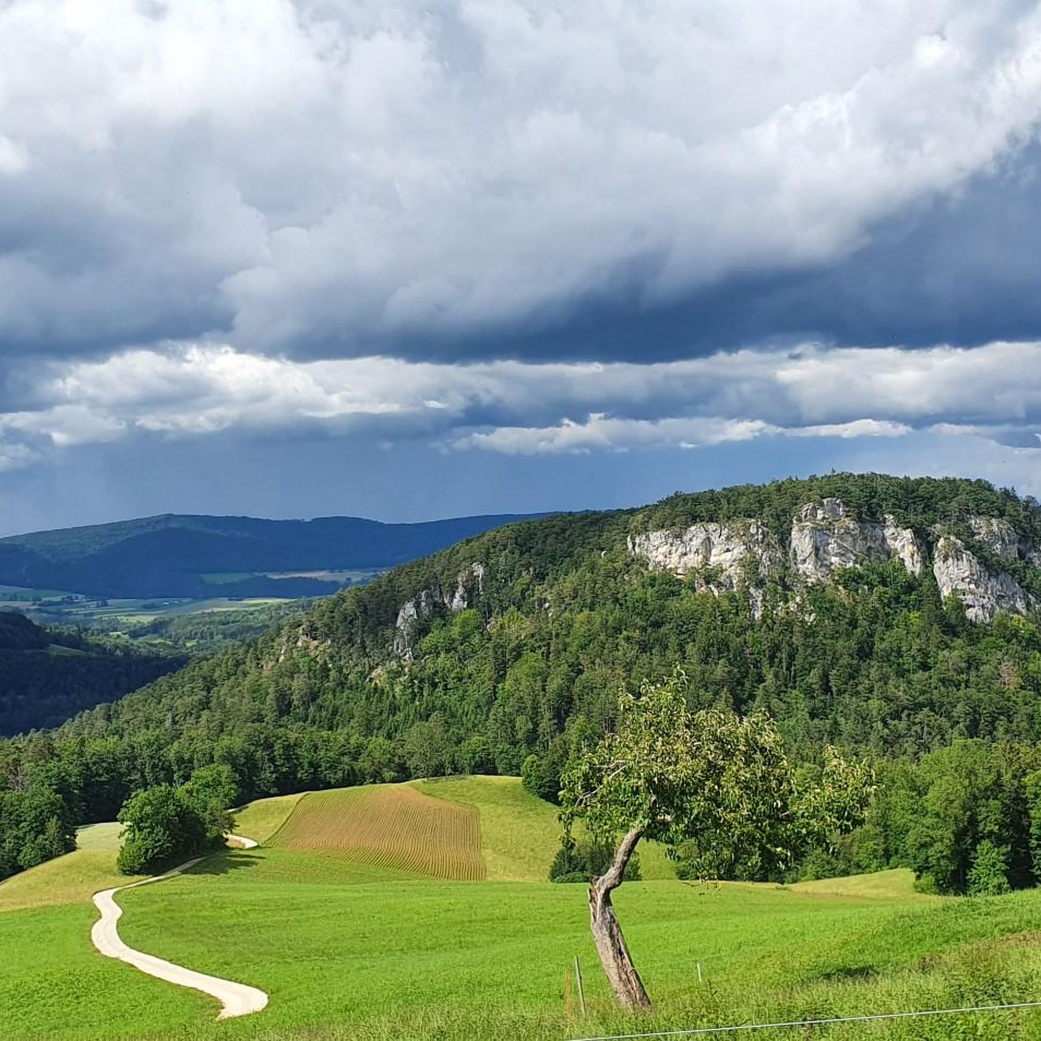
ここ、きれい、とてもきれい
3
0

The panoramic view from up here is phenomenal.
0
0

The Welschgätterli is a mountain pass between Montsevelier in the canton of Jura and Erschwil in the canton of Solothurn. Its summit is at an altitude of 810 meters above sea level, directly on the border between the two cantons. A yellow-marked hiking trail leads over the pass, connecting the two villages. You can also hike past the Welschgätterli on the Chemin du Val Terbi, which takes you on a circular route over the heights around Montsevelier. From the summit of the pass, the hike to Montsevelier takes about half an hour and to Erschwil around 40 minutes.
5
0

A great tour that we really enjoyed. In order not to have to walk the same route to and from Hirnichopf twice, we walked the official hiking trail shortly after the start to Hirnichopf. A small trail with steps and lots of variety. When descending from Hirnichopf again on the "official" path, I had to say: "If I had had to go up here..." (a climb from here would definitely have made my pulse race). So it's better to use the official hiking trail shortly after the start. A short stop at the Metingerbeg restaurant also refreshed us. Otherwise the route was great and we liked the view! Thank you
2
4


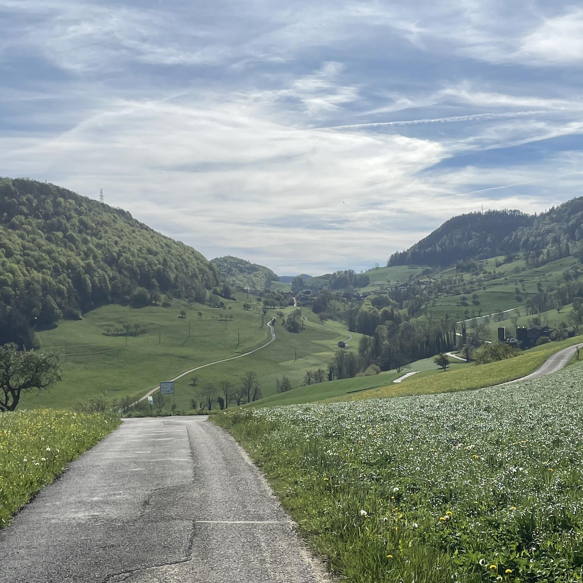
Great hike with a view of the mountains. Sure-footedness required
2
0

The weather was very nice and very warm on both sides...😉
0
0

Superb view over the entire Jura and Basel
1
0

komootモバイルアプリでインスピレーションを得よう


