ゴリング・アン・デル・ザルツァッハ周辺のおすすめ滝ハイキング&ウォーキング
4.6
(1640)
7,867
ハイカー
14
ハイキング
komootでは、ゴリング・アン・デル・ザルツァッハでのの自然の素晴らしさを紹介するため、このエリアでおすすめの滝ハイキング&ウォーキングを集めたリストを作成しました。連なる瀑布から穏やかな滝まで、ゴリング・アン・デル・ザルツァッハでので人気の高い滝ハイキングのルートをご覧ください。
最終更新日: 9月 15, 2026
4.8
(79)
328
ハイカー
9.44km
02:43
170m
170m
中程度のハイキング. ある程度のフィットネスレベルが必要です。 全般的に進みやすいルートです。安定して歩行できる技術が必要です。
4.5
(67)
199
ハイカー
6.42km
02:00
220m
220m
中程度のハイキング. あらゆるフィットネスレベルに適しています。 全般的に進みやすいルートです。安定して歩行できる技術が必要です。

4.6
(16)
68
ハイカー
8.30km
02:22
130m
130m
中程度のハイキング. ある程度のフィットネスレベルが必要です。 全般的に進みやすいルートです。安定して歩行できる技術が必要です。
5.0
(5)
32
ハイカー
6.42km
02:37
420m
420m
難しいハイキング. ある程度のフィットネスレベルが必要です。 安定して歩行できる技術、丈夫な靴、高標高地での登山経験が必要です。
4.6
(7)
25
ハイカー
9.72km
02:45
150m
150m
中程度のハイキング. ある程度のフィットネスレベルが必要です。 全般的に進みやすいルートです。安定して歩行できる技術が必要です。
さらに多くのルートや他のユーザーのおすすめ情報を確認できます。
すでにアカウントをお持ちですか?
おすすめのツアーは他のkomootユーザーが実際に経験した何千ものアクティビティに基づいています。
無料アカウントで今日から始めよう
次の冒険が待っています。
ゴリング・アン・デル・ザルツァッハ周辺で人気
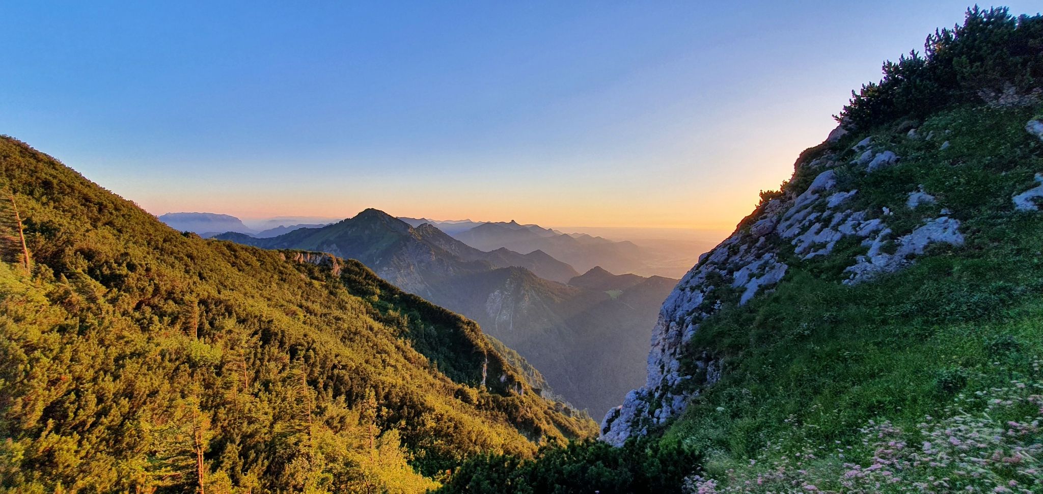
白い金の跡を追う:ザルツ・アルペンシュタイグ
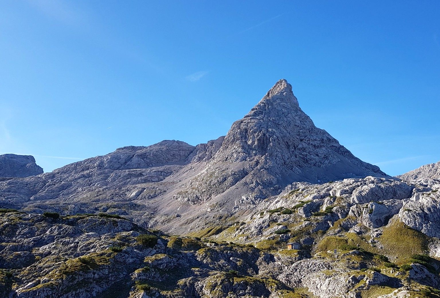
6日間のシュタイナーネス・メーア – 岩の波を越えるハイキング
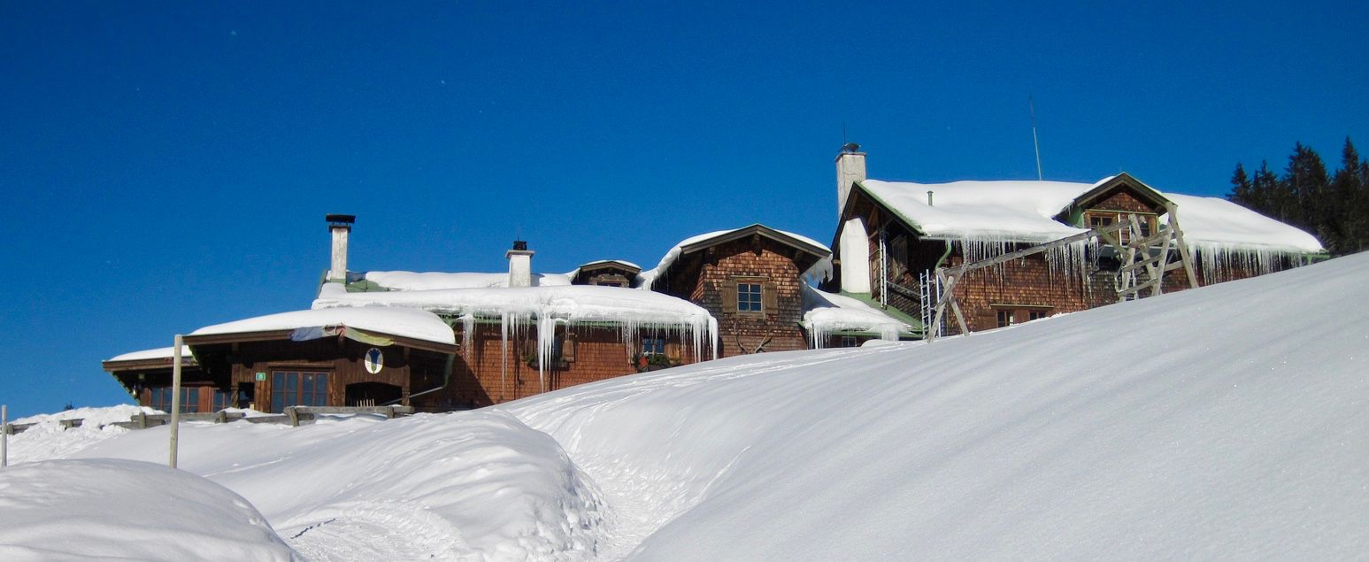
Mountain lodges for the cold season in the Alps
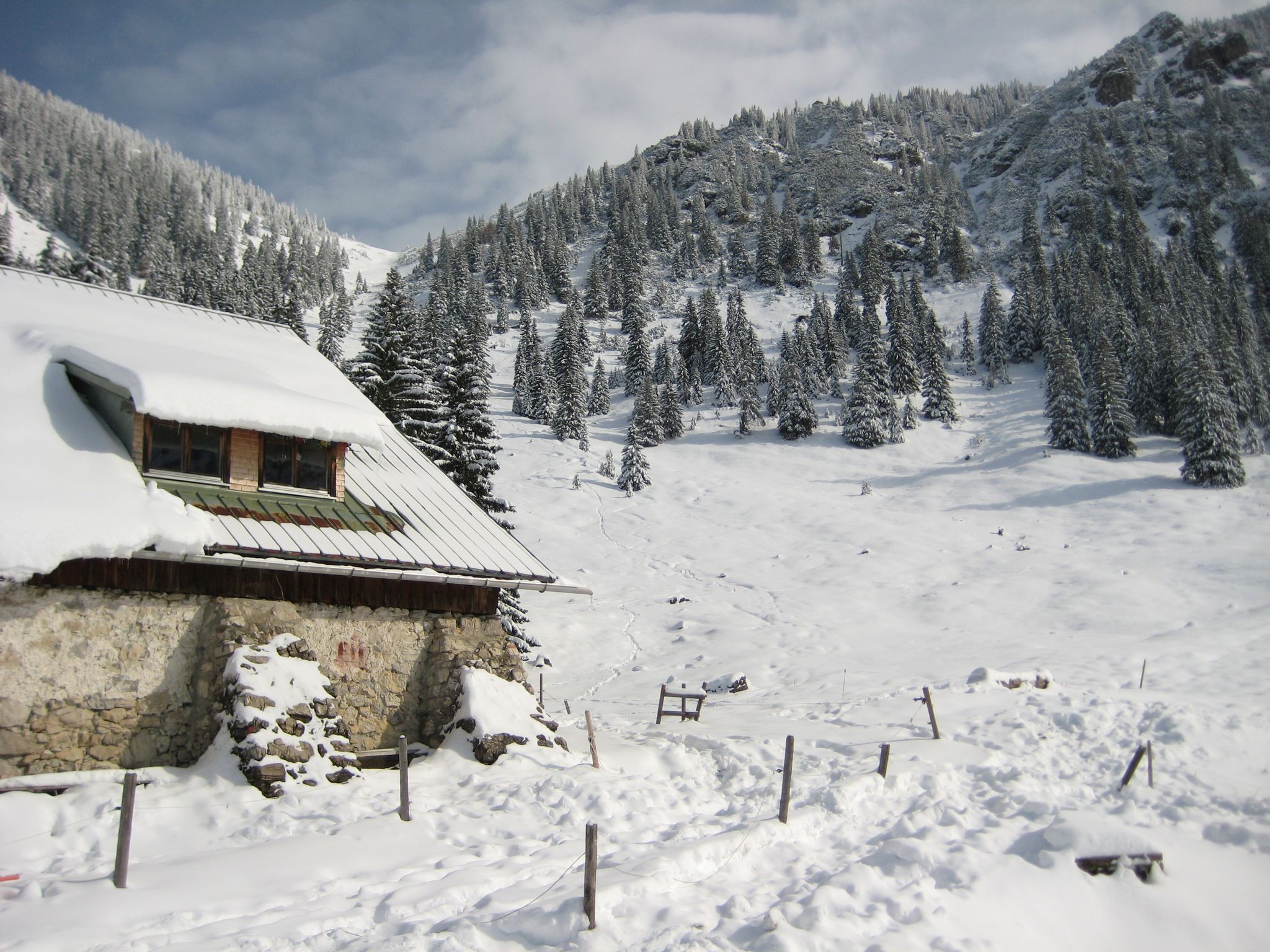
Southern Germany — mountain lodges for the cold season
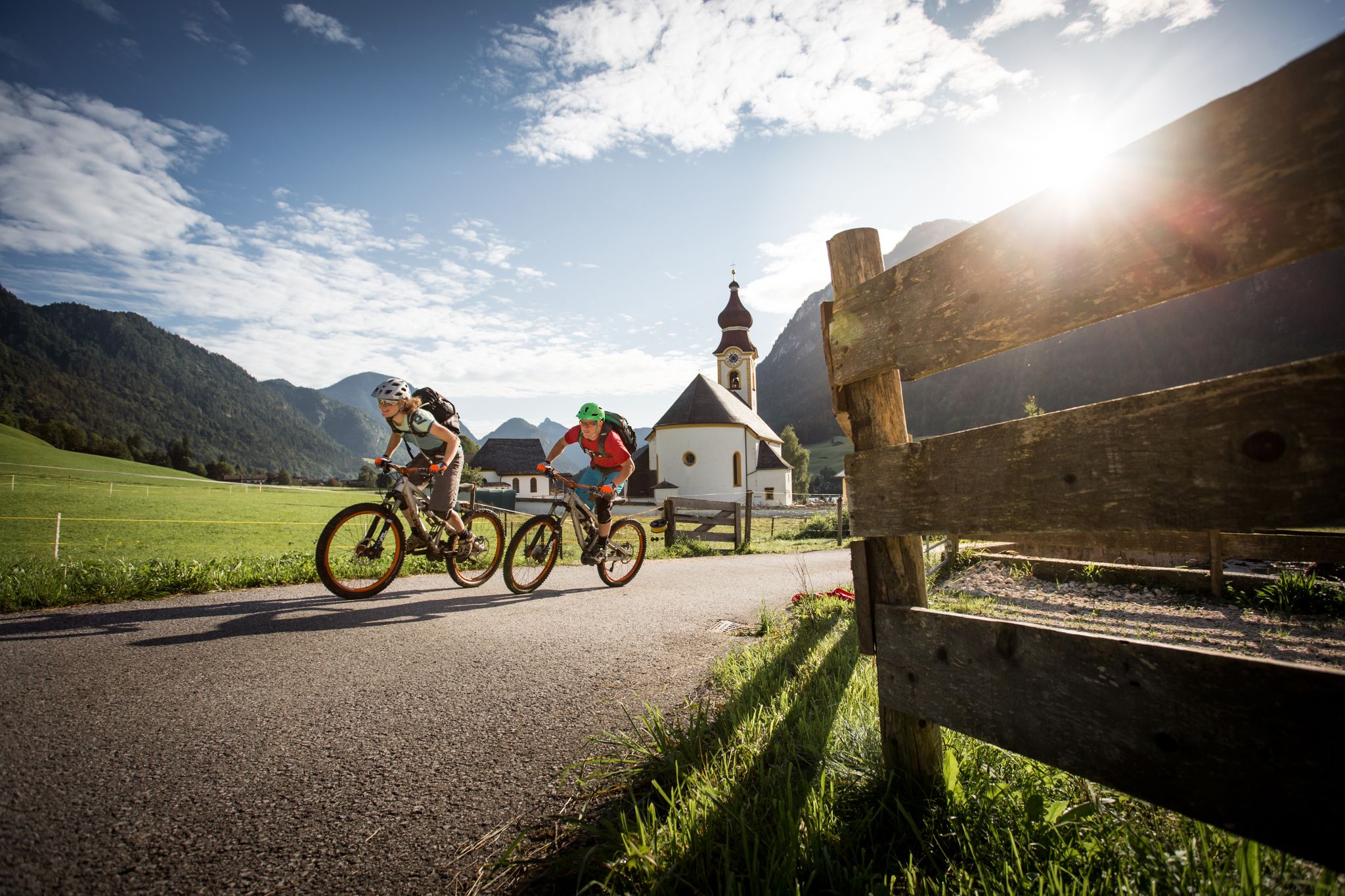
E-MTB – ワッツマン・ホーホケーニヒ・サーキットの高い場所
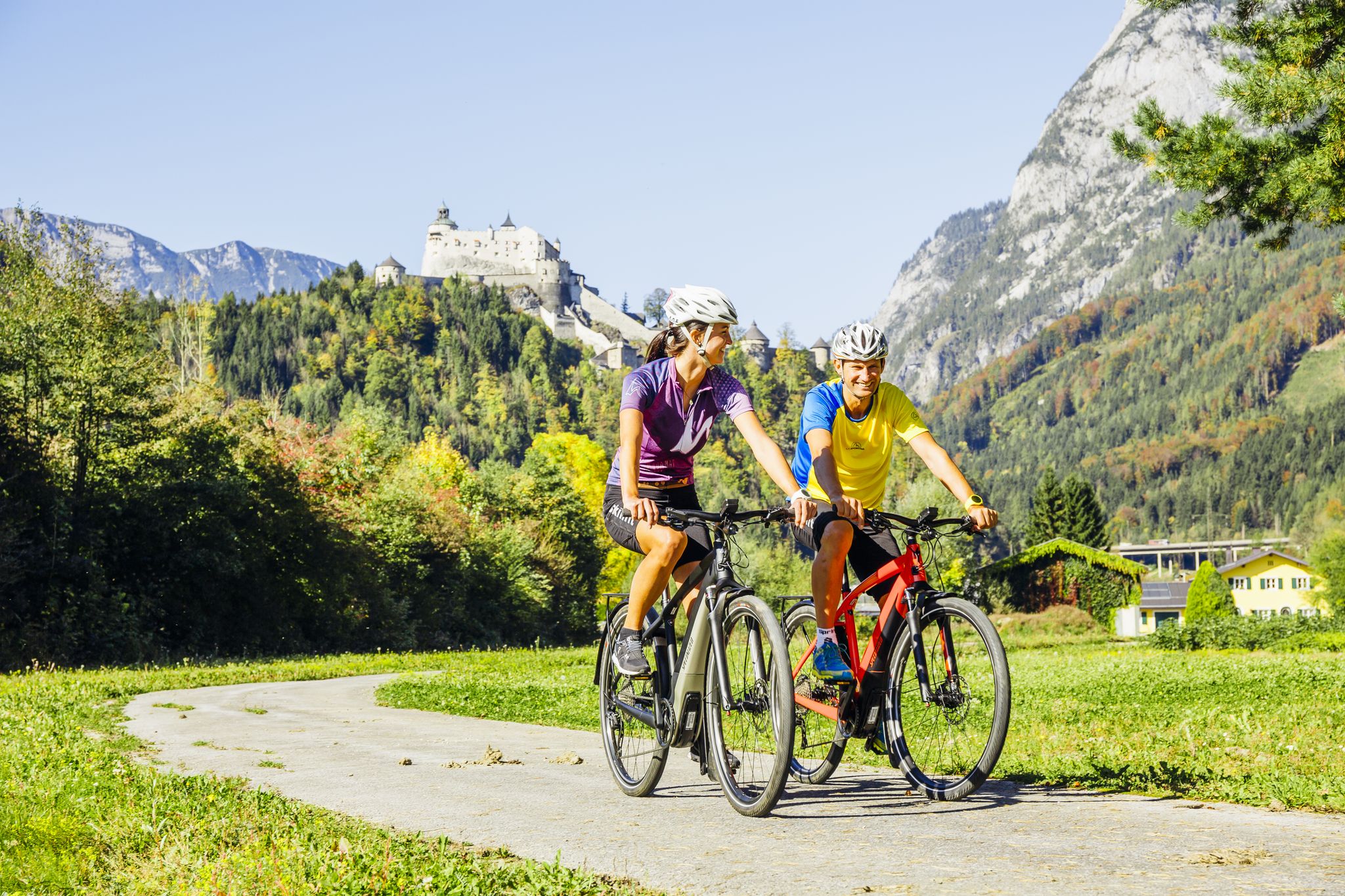
Krimml-Passau TAUERN サイクル道とTAUERN サイクルトレイル回り道
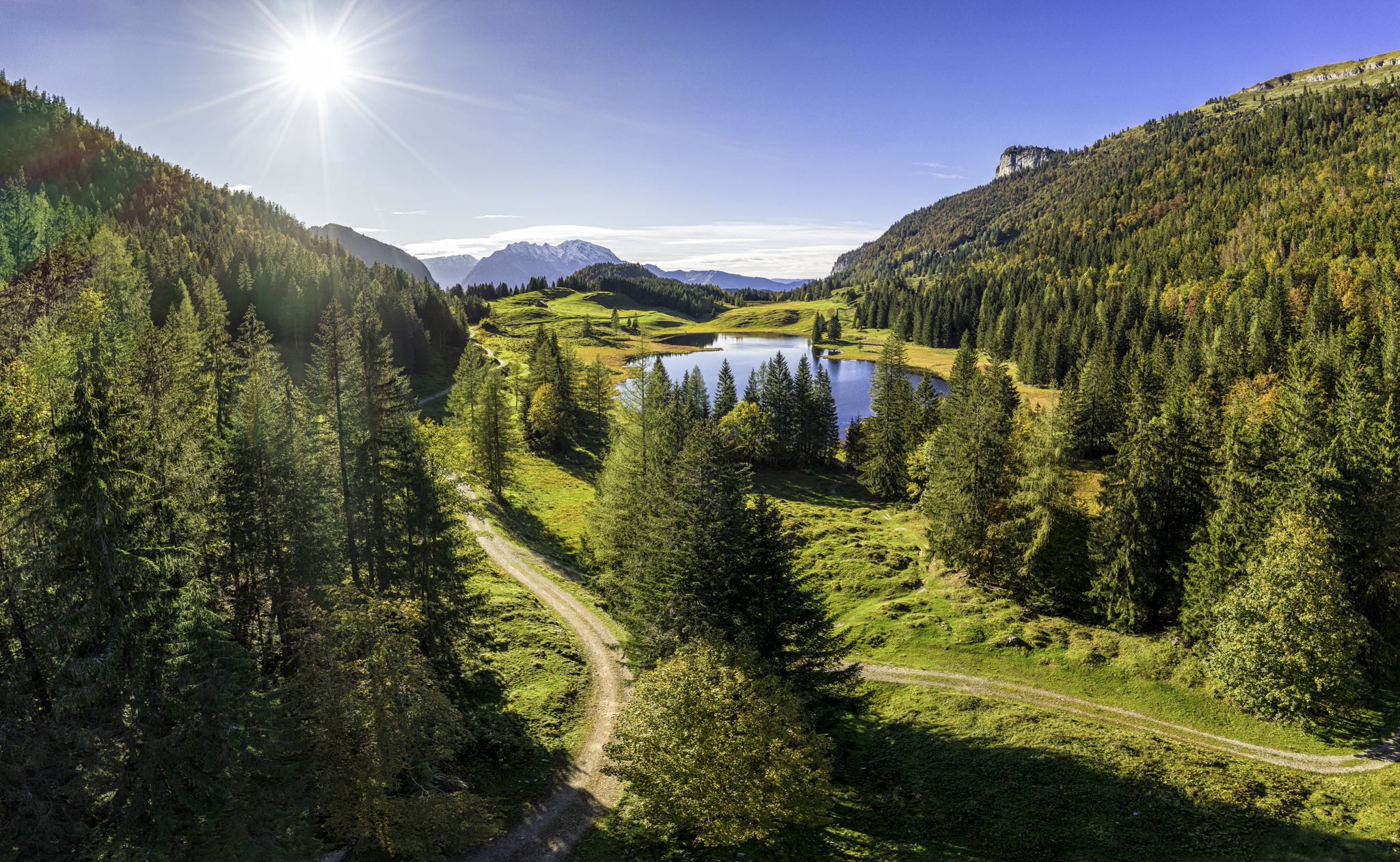
MTB to the most beautiful alpine pastures in Austria’s Tennengau
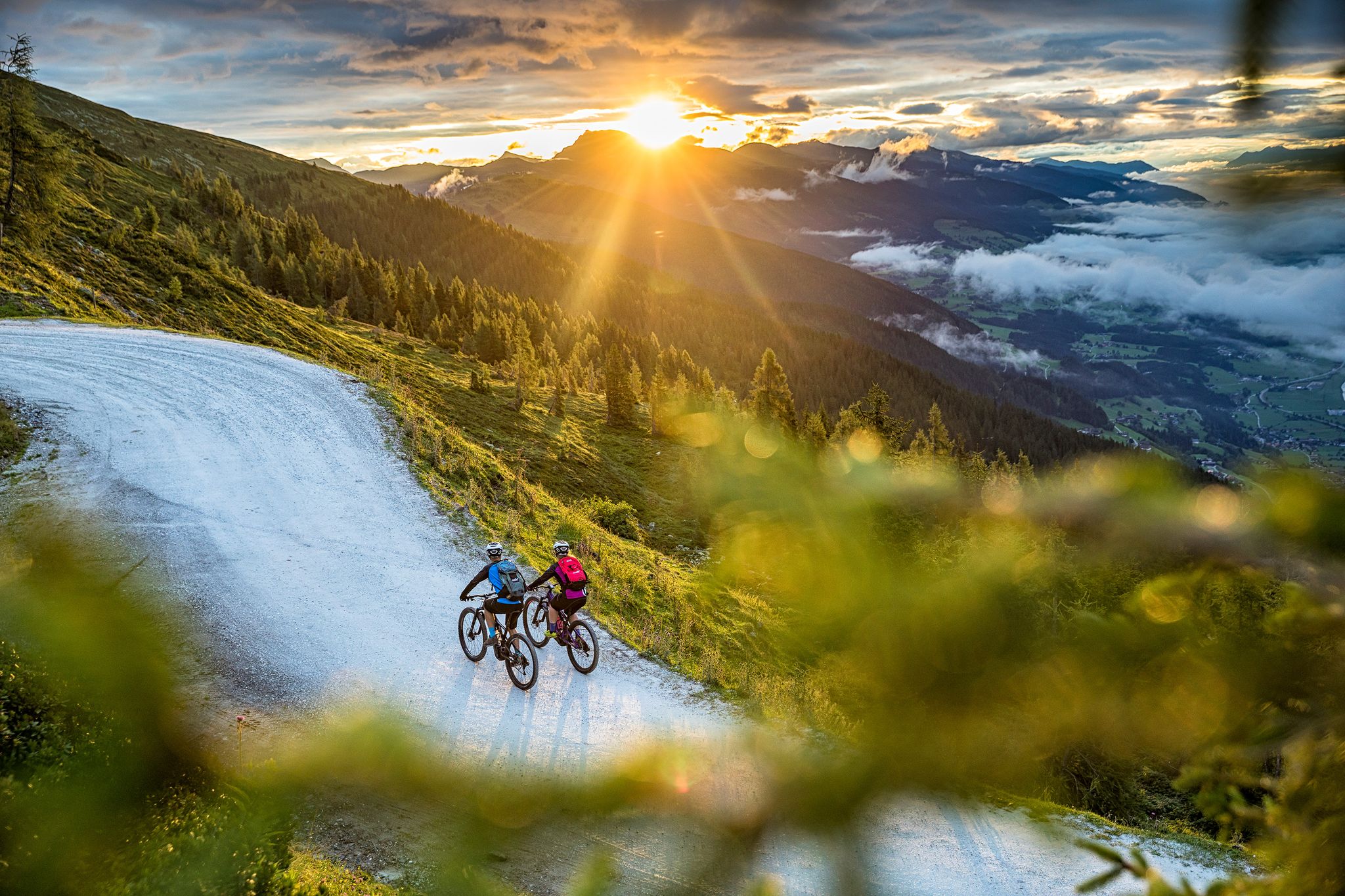
Top Tour tips from the bike hotels in Austria’s SalzburgerLand
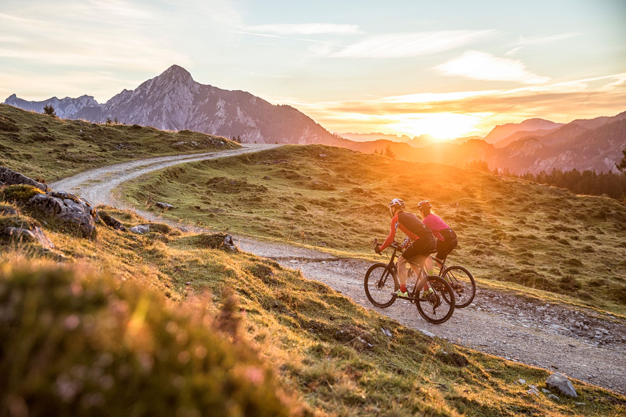
Bike Hotels im Salzburgerland
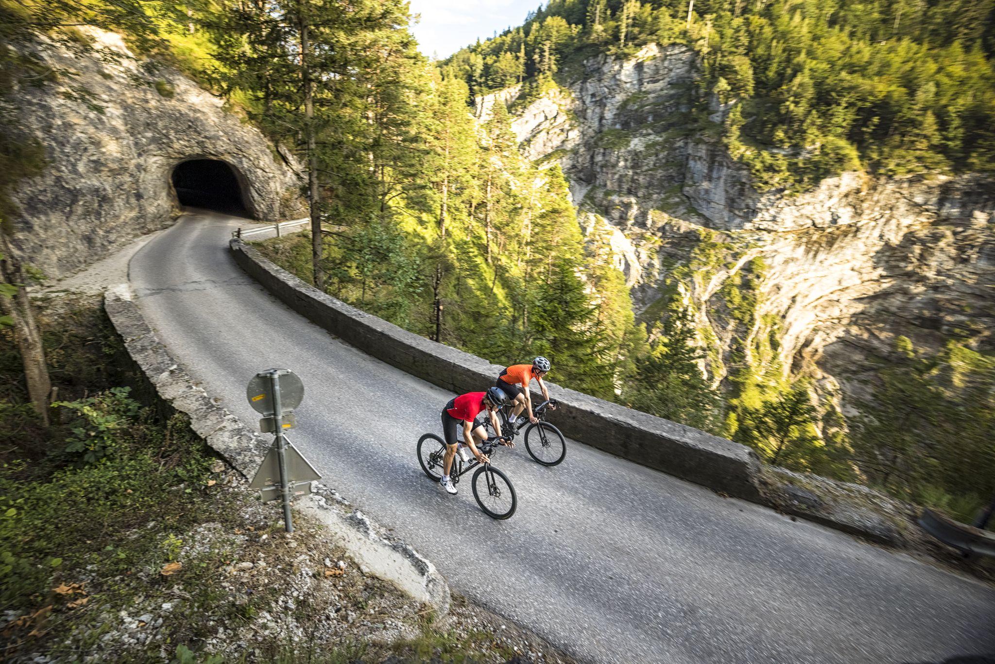
Graveltouren im SalzburgerLand – Stadt und Umgebung
ゴリング・アン・デル・ザルツァッハでのの他の冒険


コミュニティからのヒント

提案通り(1-2-3など)にルートをハイキングする場合、滝の上にある最後の部分は困難で、一歩間違えたり、天気が悪かったりすると危険/不安定になります。そこはとても美しいですが、準備をしてきてください :-)
0
0


In summer, it's a wonderful place for splashing and playing with children; our children enjoyed it 30 years ago...
2
0

The water is very clear, so you can even see the deep-swimming fish. Park benches are perfect for taking a short break and relaxing by the lake.
0
0

A bike detour to the Golling Waterfall is particularly worthwhile for nature lovers and photography enthusiasts. Just a few kilometers from the Tauern Cycle Path, a short climb from the center of Golling an der Salzach leads through an idyllic forest landscape directly to the entrance of the waterfall. The Golling Waterfall is one of Salzburg's most impressive natural monuments: The water plunges about 75 meters down over two waterfalls, providing pleasant refreshment on hot days. The path to the edge of the waterfall is well-maintained but can be covered on foot – bikes can be parked at the entrance. This detour offers a pleasant change from the river landscape and can be easily combined with a short stay in the town of Golling, perhaps for a refreshment stop or a visit to the nearby Bluntau Valley. Ideal for a varied bike tour with a nature experience.
2
0

There are a lot of stairs leading up to the waterfall but it is worth it
0
0

Very beautiful, especially in winter, although a bit slippery. But a wonderful little spot.
0
0
ゴリング・アン・デル・ザルツァッハでのの人気ルート
ゴリング・アン・デル・ザルツァッハでのの人気観光スポット

komootモバイルアプリでインスピレーションを得よう


さらに探索
他の地域の最高のハイキングを見てみましょう。
