ゼーラントの湖・トップ20
次の冒険でゼーラントの素晴らしい湖を訪れてみませんか?湖畔の穏やかな雰囲気や、天気が良い日のひと泳ぎは格別です。komootコミュニティがおすすめするゼーラントの素晴らしい湖の一覧を参考にして、次の冒険では湖をもっと満喫しましょう。
最終更新日: 8月 17, 2026
ヴェールセ・ハットダムからの北海とヴェールセ湖の眺め
ハイライト • 展望台
翻訳者 Google •
役立つ情報 は

Vroongronden自然保護区
ハイライト • 自然
翻訳者 Google •
役立つ情報 は

今すぐサインアップして、こんな場所を発見しよう
最高のシングルトラック、ピーク、その他のエキサイティングなアウトドアスポットのおすすめを受け取ろう。
無料新規登録
オースタースヘルデ国立公園
ハイライト • 自然記念物
翻訳者 Google •
役立つ情報 は

ヘット・ズウィン自然保護区
ハイライト • 自然記念物
The Zwin is a slufter: a beach plain behind the dunes that is …
翻訳者 Google •
役立つ情報 は

オーステルスヘルデ国立公園
ハイライト (セグメント) • 自然記念物
翻訳者 Google •
役立つ情報 は

Vroonweg グラベルパス
ハイライト (セグメント) • トレイル
翻訳者 Google •
役立つ情報 は

ジーリクゼーの旧港
ハイライト • 歴史的な場所
翻訳者 Google •
役立つ情報 は

ズウィン自然保護区
ハイライト • 自然記念物
翻訳者 Google •
役立つ情報 は

オースターシェルデ国立公園
ハイライト (セグメント) • 自然記念物
翻訳者 Google •
役立つ情報 は

ヴェールセ・メールの眺め
ハイライト • 展望台
翻訳者 Google •
役立つ情報 は
無料でサインアップして、さらに多くの湖を発見しましょう ゼーラントでの。
無料新規登録
すでにアカウントをお持ちですか?
無料アカウントで今日から始めよう
次の冒険が待っています。
ログインまたは登録
ゼーラント周辺で人気
アムステルダムからロンドンまで、北海と水を通って
北海沿岸サイクルルート — オランダとベルギー
Five routes in Zeeland — the dunes, the woods and the sea
海、砂、そしてサドル – De Kustroute
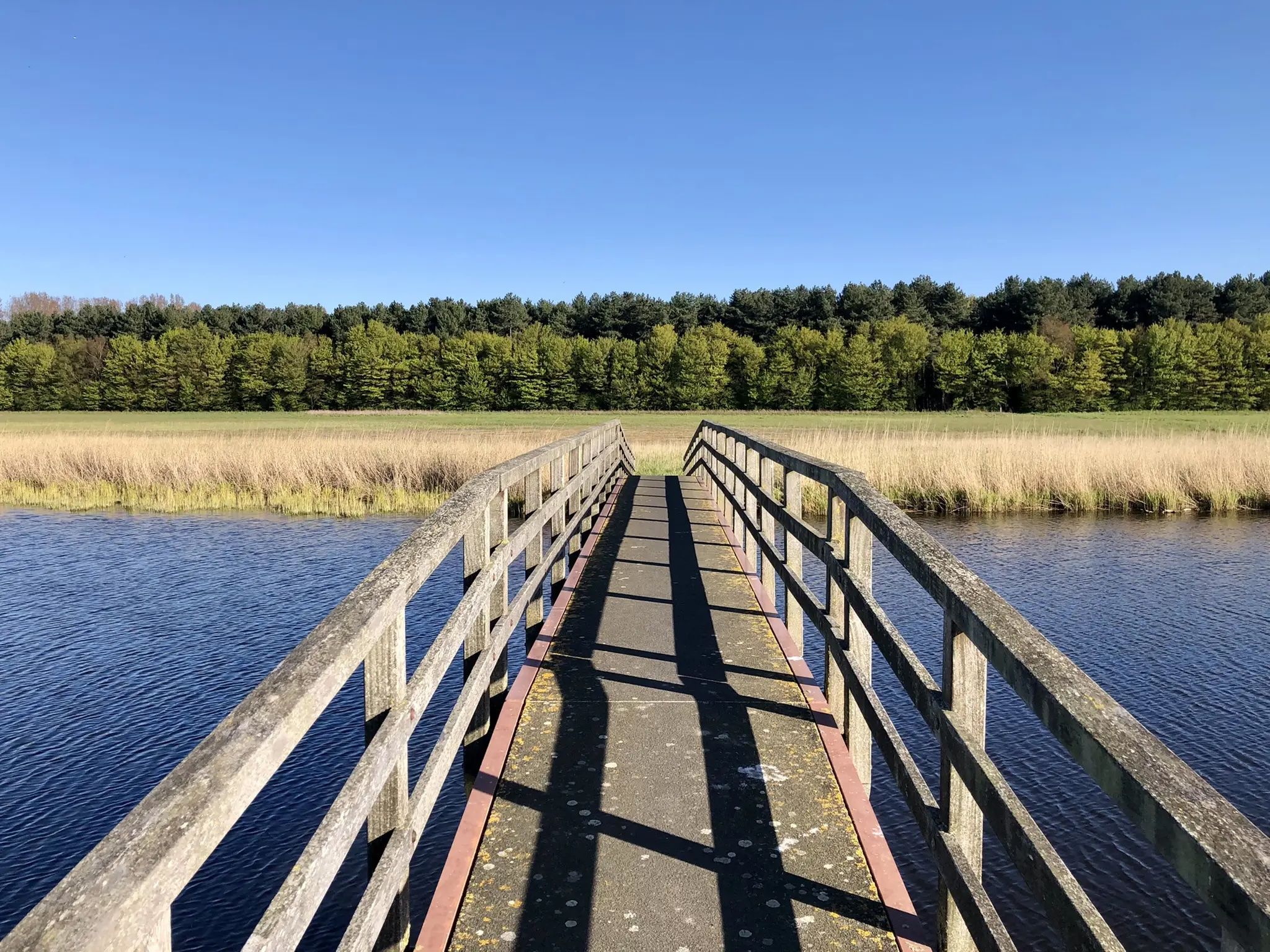
West-, Oost- と Zeeuws-Vlaanderen — Streek GR Uilenspiegel
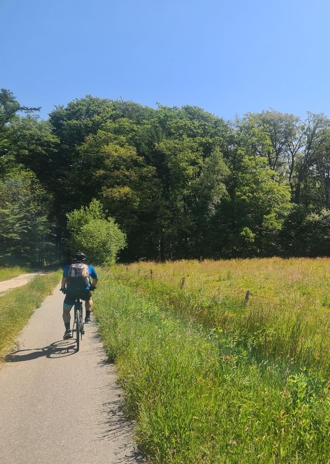
ネデルランド南部を通り、LF13 スヘルデ=レーンルート
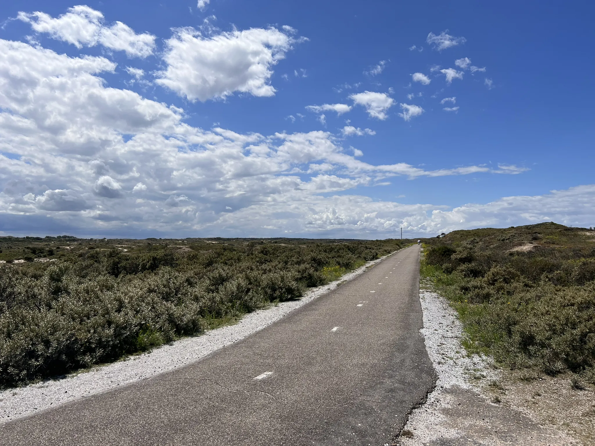
オランダ周回 – 21エタップのアルティメットサイクリングルート
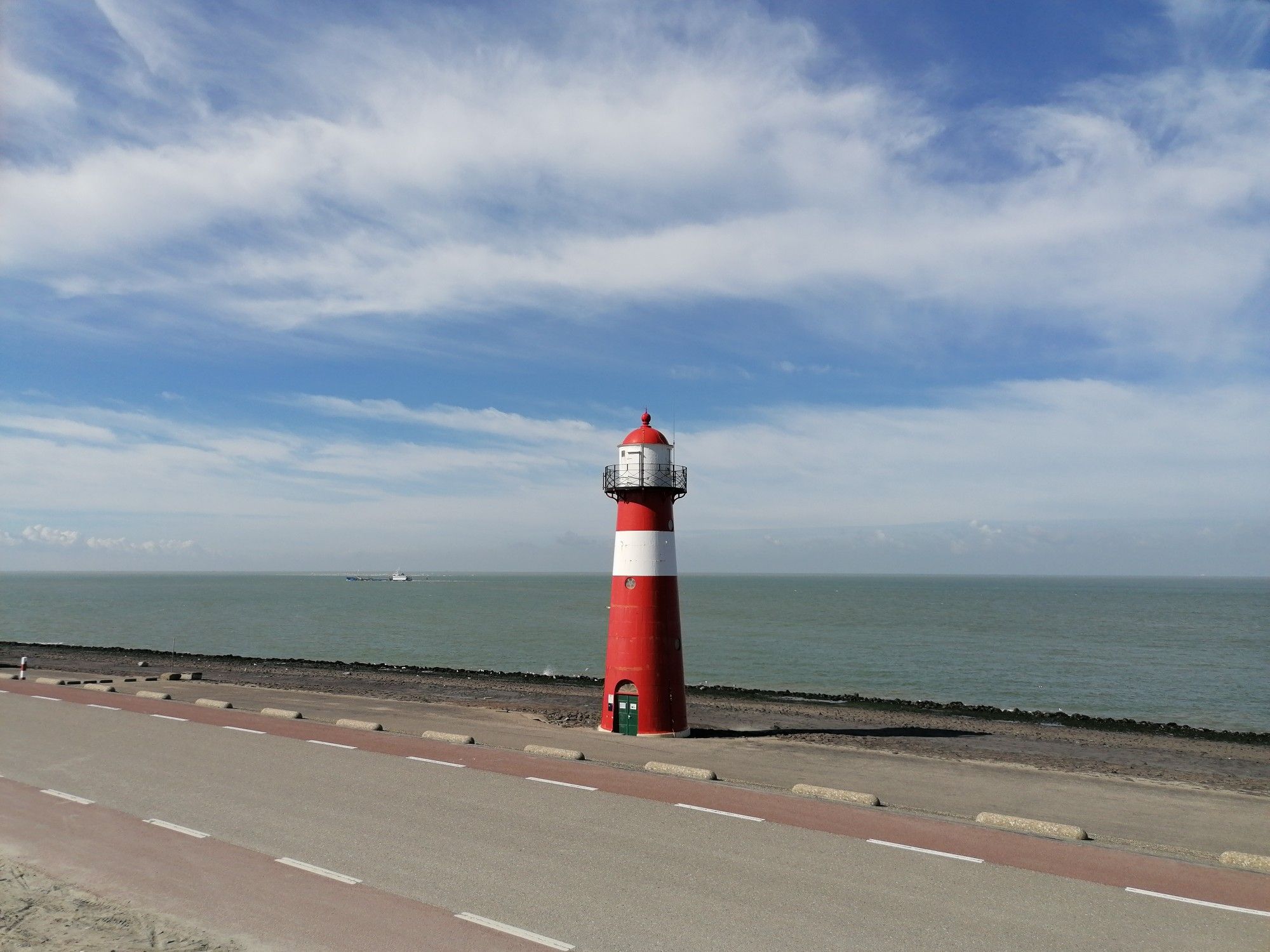
西部の週末ハイキング - 2日間で駅から駅まで
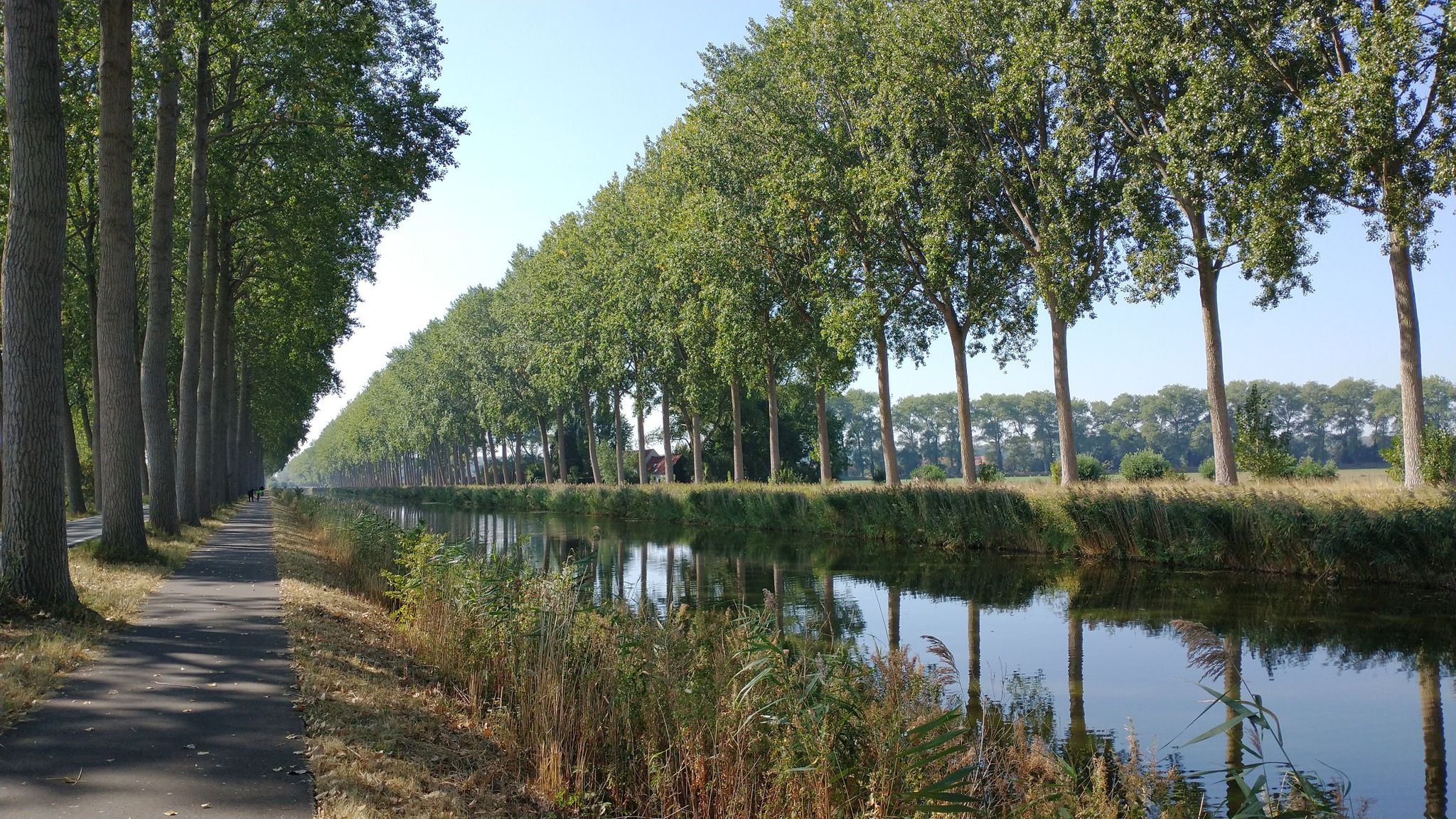
海岸と運河 - フランダースとゼーランド・フランダースでの旅行
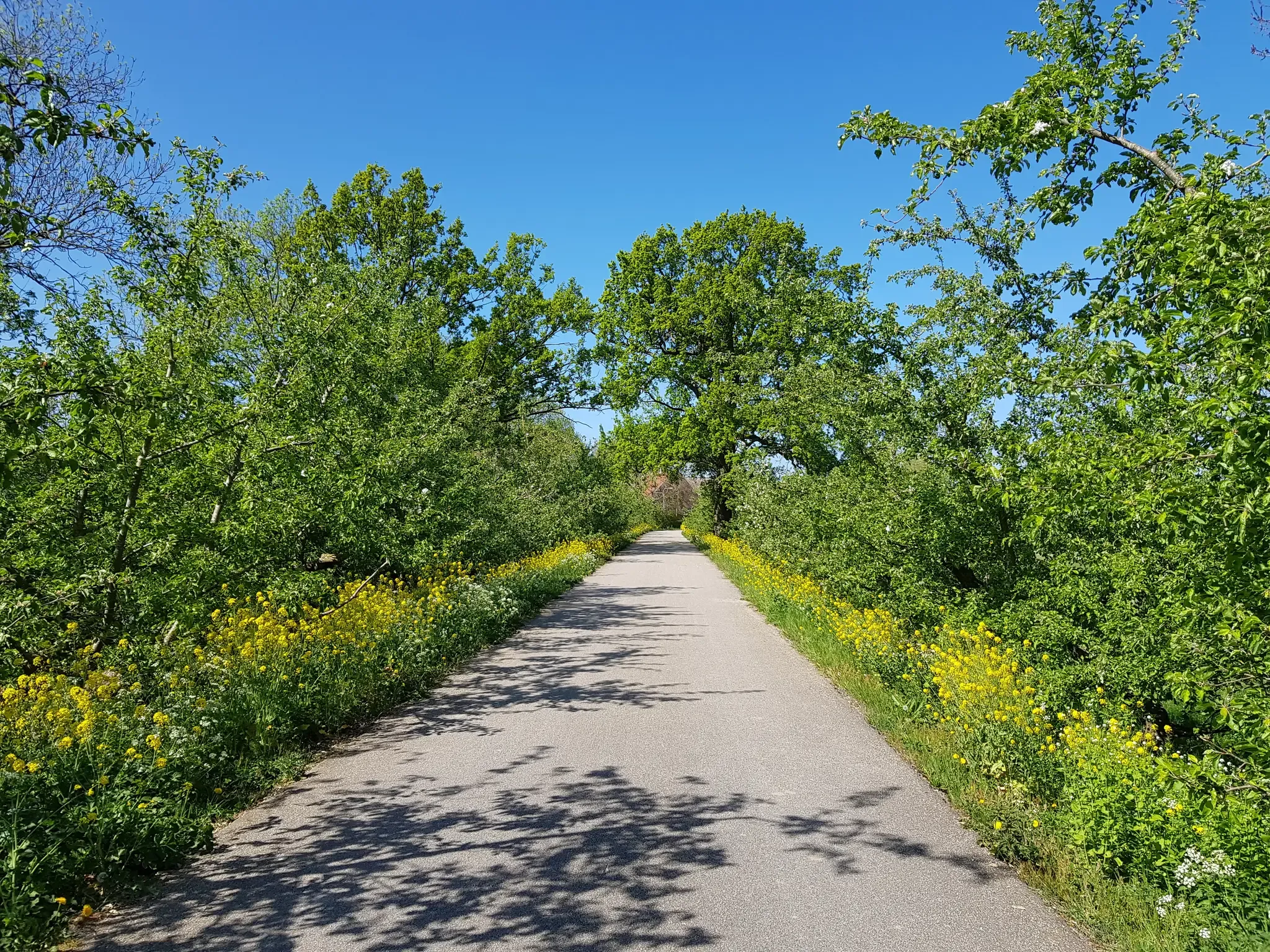
自転車でおいしいフルーツルート — オランダ全国をまたいだ4カ所のルート
ゼーラントでのの他の冒険


コミュニティからのヒント

フェーレの閘門では、閘門を通過する船のすぐそばにいます。 立ち止まってくつろぐのに最適
0
0

南から来る場合、そこまでの道のりのご褒美です。少し背筋を伸ばし、一口飲んで楽しんでください!
0
0

The Veerse Meer is a very special place—a hidden treasure in the Dutch province of Zeeland. 🌊✨ It used to be part of the open North Sea, but today it lies sheltered between dikes and islands. This has created a long, inland body of water with crystal-clear, calm waters. Particularly beautiful are the small, uninhabited islands, which lie like green dots in the blue of the sea. Some can only be reached by boat, while others are natural paradises where rare birds breed and wild orchids grow.
0
0

Endless beaches, great views, beautiful bike path.
1
0

The cycle path above the dike is raised - logically - so you have a great view of the sea.
4
1

In the 13th and 14th centuries, this sea arm - ’t Zwyn - was an important waterway to Bruges. This waterway was created after the sea had penetrated the land around the beginning of the Christian era. The cities of Bruges, Damme and Sluis were located on the Zwin and became flourishing trading centres. But the channel became increasingly shallow and eventually unnavigable. That is why the Zwin was later largely poldered. Nature then took over here. Source: https://www.hetzeeuwselandschap.nl/natuurgebieden/het-zwin
6
1
In the 13th and 14th centuries, this sea arm - ’t Zwyn - was an important waterway to Bruges. This waterway was created after the sea had penetrated the land around the beginning of the Christian era. The cities of Bruges, Damme and Sluis were located on the Zwin and became flourishing trading centres. But the channel became increasingly shallow and eventually unnavigable. That is why the Zwin was later largely poldered. Nature then took over here. Source: https://www.hetzeeuwselandschap.nl/natuurgebieden/het-zwin
6
0
The Zwin is a slufter: a beach plain behind the dunes that is in open connection with the sea. Directly behind the gully mouth lies a sandy beach, further inward lie dunes and salt marshes. Behind the row of dunes lie two small polders, which are managed by the Zeeuwse Landschap: the Kievittepolder and the Oudelandsepolder. In the Zwinweide, once a side channel of the Zwin, is a very varied area where fresh and salt alternate at a short distance. Thanks to the alternation between wet and dry, salt and fresh, and clay and sand, the entire area has a great variety in vegetation and birds. Source and all information for your visit to this Zeeland side of the Zwin at https://www.hetzeeuwselandschap.nl/natuurgebieden/het-zwin
6
0
ゼーラントでのの人気観光スポット

komootモバイルアプリでインスピレーションを得よう


探していたものは見つかりませんでしたか?
地域ごとの最高の湖を見つけましょうゼーラントでの:
さらに探索
まだ完璧な湖が見つかりませんかゼーラントでの?これらの地域のガイドをチェックして、さらに美しい場所を見てみましょう。
