ゼーラント周辺のアトラクション&必見スポット - トップ20
ゼーラントには必見のスポットがたくさんあります。ハイキング愛好家やサイクリング愛好家の方は、ぜひゼーラントを探索してこのエリアにある20
の隠れたスポットを訪れてみてください。このエリアの必見スポットを確認し、次の冒険に出かける計画を立てましょう。
最終更新日: 8月 29, 2026
フェーレの歴史的中心地
ハイライト • 歴史的な場所
翻訳者 Google •
役立つ情報 は

De Manteling van Walcherenの森の小道
ハイライト (セグメント) • 森
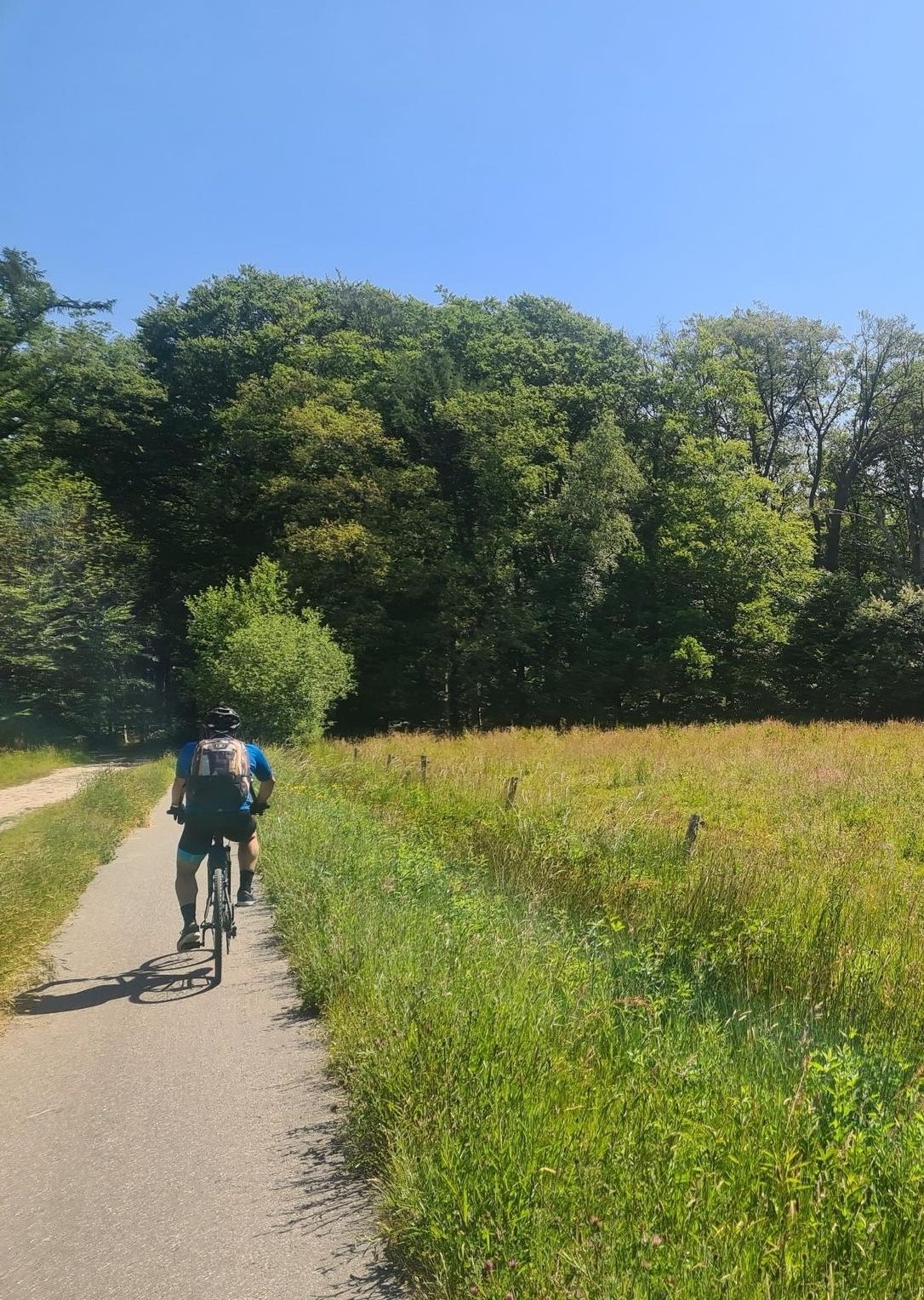
It is completely away from the main roads, from Domburg towards Vrouwenpolder.
翻訳者 Google •
役立つ情報 は

今すぐサインアップして、こんな場所を発見しよう
最高のシングルトラック、ピーク、その他のエキサイティングなアウトドアスポットのおすすめを受け取ろう。
無料新規登録
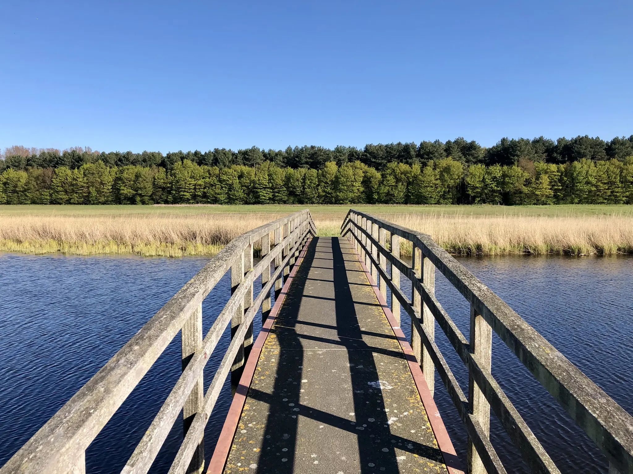
ヴェールセ・ハットダムからの北海とヴェールセ湖の眺め
ハイライト • 展望台
翻訳者 Google •
役立つ情報 は
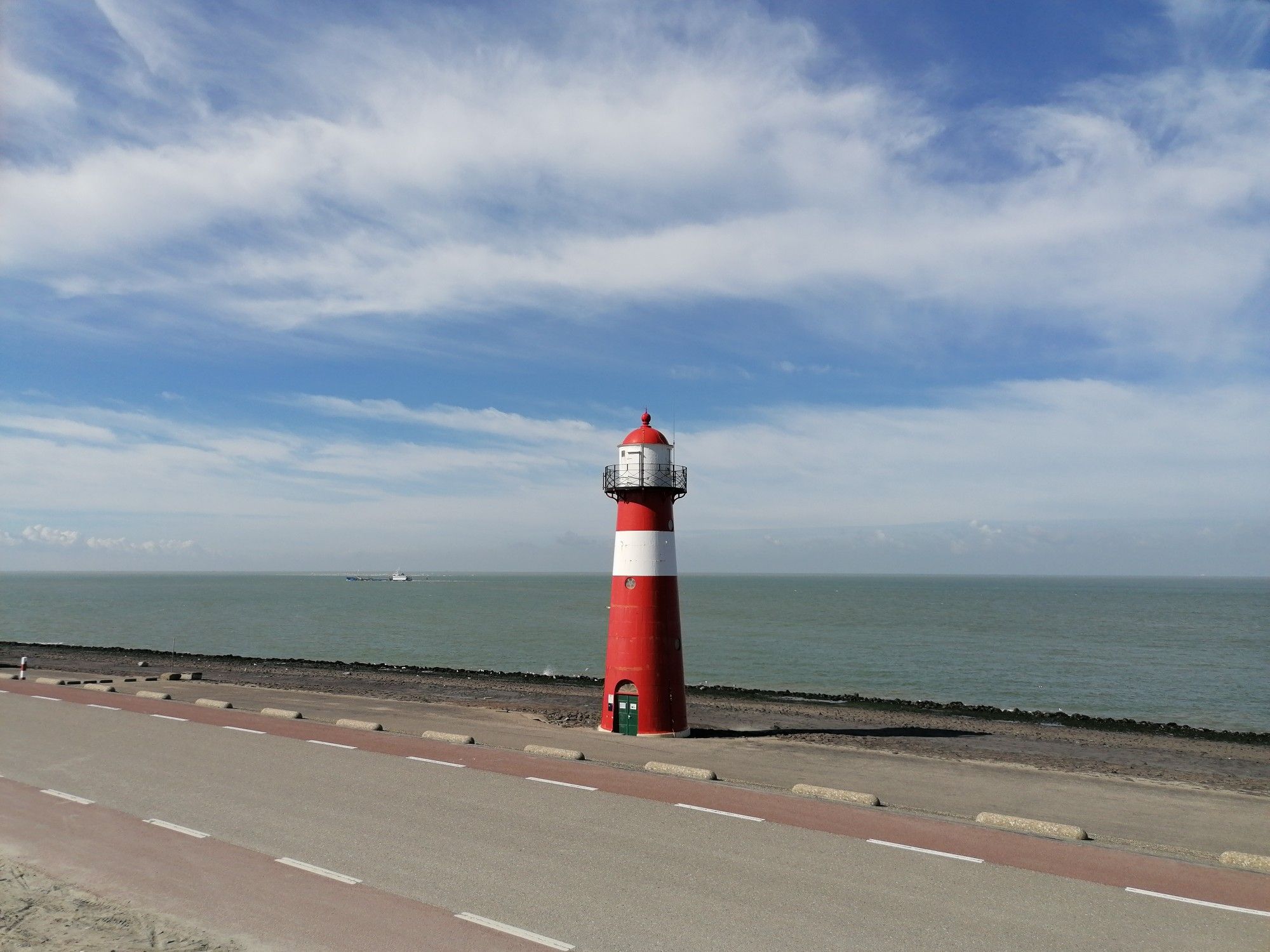
灯台 't Lage Licht (Noorderhoofd)
ハイライト • 記念碑
翻訳者 Google •
役立つ情報 は

ニウウェ・スルイス灯台
ハイライト • 記念碑
翻訳を表示中
役立つ情報 は
レネッセ・ビーチ
ハイライト • ビーチ
翻訳者 Google •
役立つ情報 は

翻訳者 Google •
役立つ情報 は

Vroongronden自然保護区
ハイライト • 自然
翻訳者 Google •
役立つ情報 は

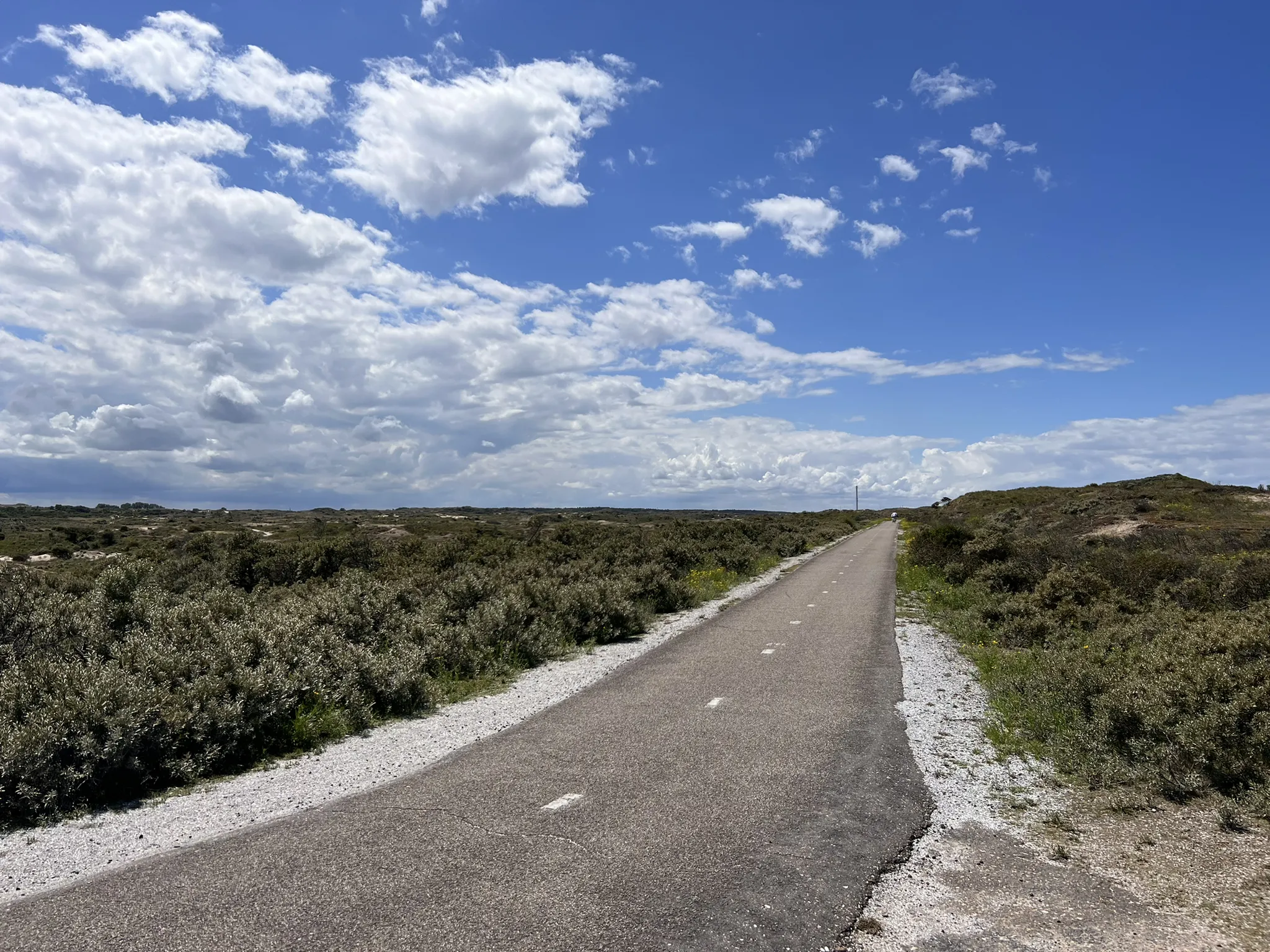
Kop van Schouwenの砂丘
ハイライト • 自然
Always enjoy this cycle path.
翻訳者 Google •
役立つ情報 は


無料アカウントで今日から始めよう
次の冒険が待っています。
ログインまたは登録
ゼーラント周辺で人気
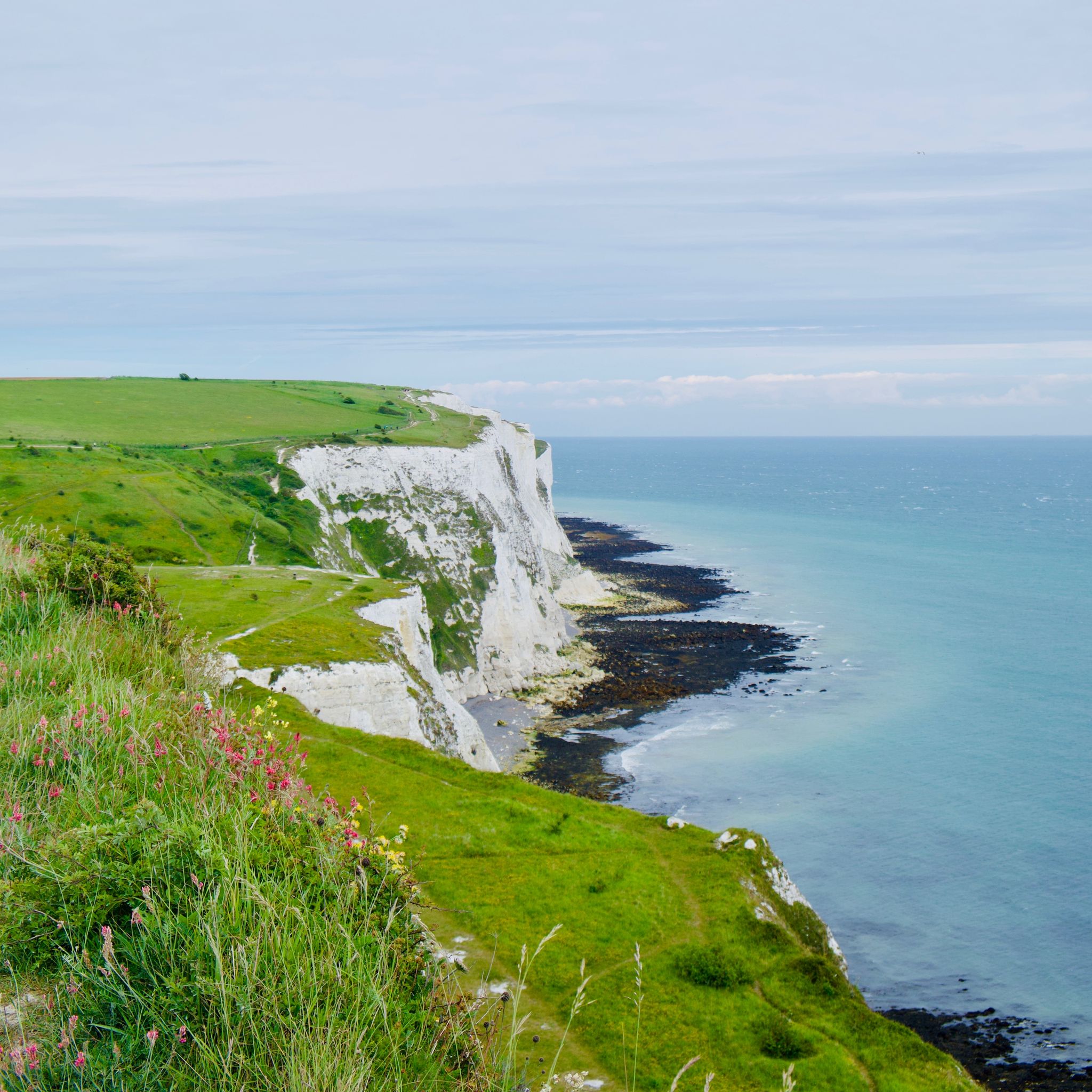
アムステルダムからロンドンまで、北海と水を通って
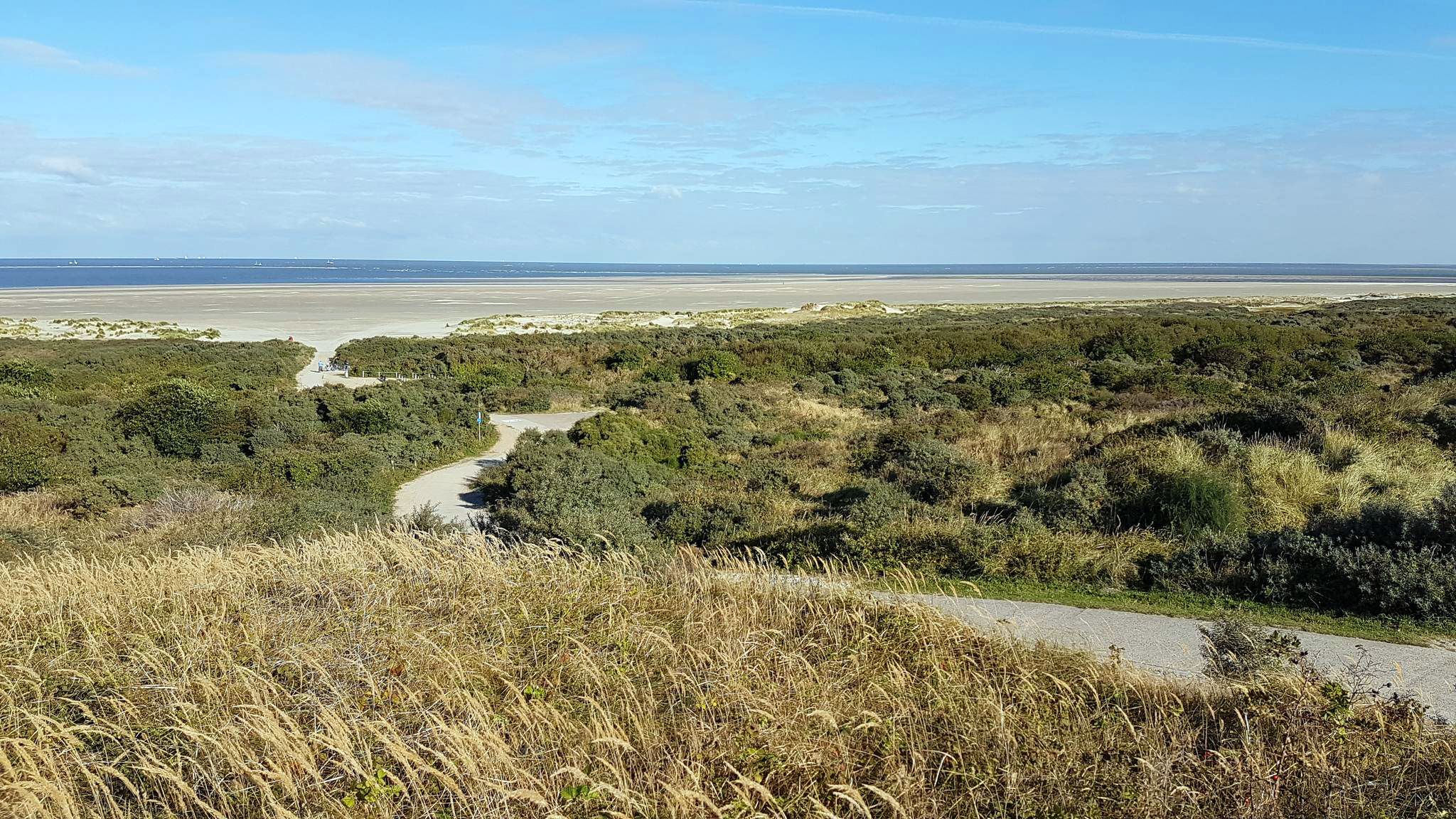
北海沿岸サイクルルート — オランダとベルギー
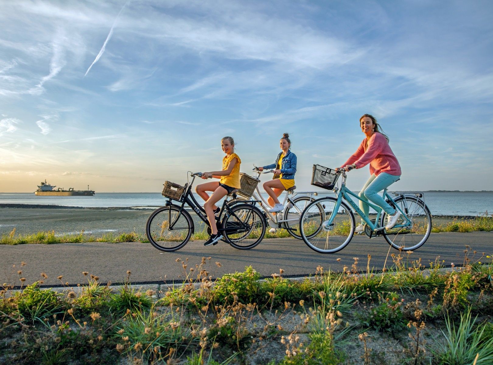
Five routes in Zeeland — the dunes, the woods and the sea
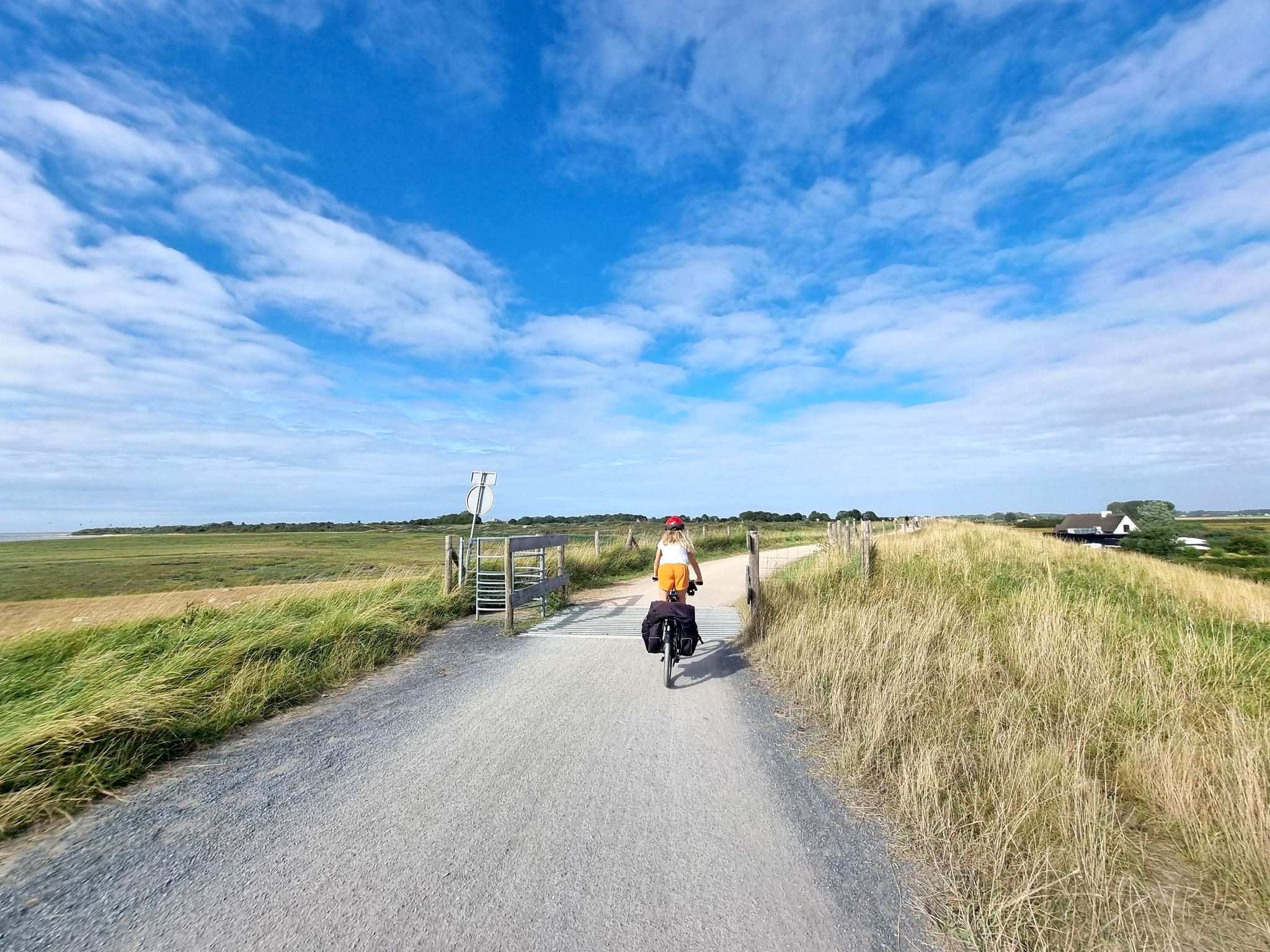
海、砂、そしてサドル – De Kustroute
West-, Oost- と Zeeuws-Vlaanderen — Streek GR Uilenspiegel
ネデルランド南部を通り、LF13 スヘルデ=レーンルート
オランダ周回 – 21エタップのアルティメットサイクリングルート
西部の週末ハイキング - 2日間で駅から駅まで
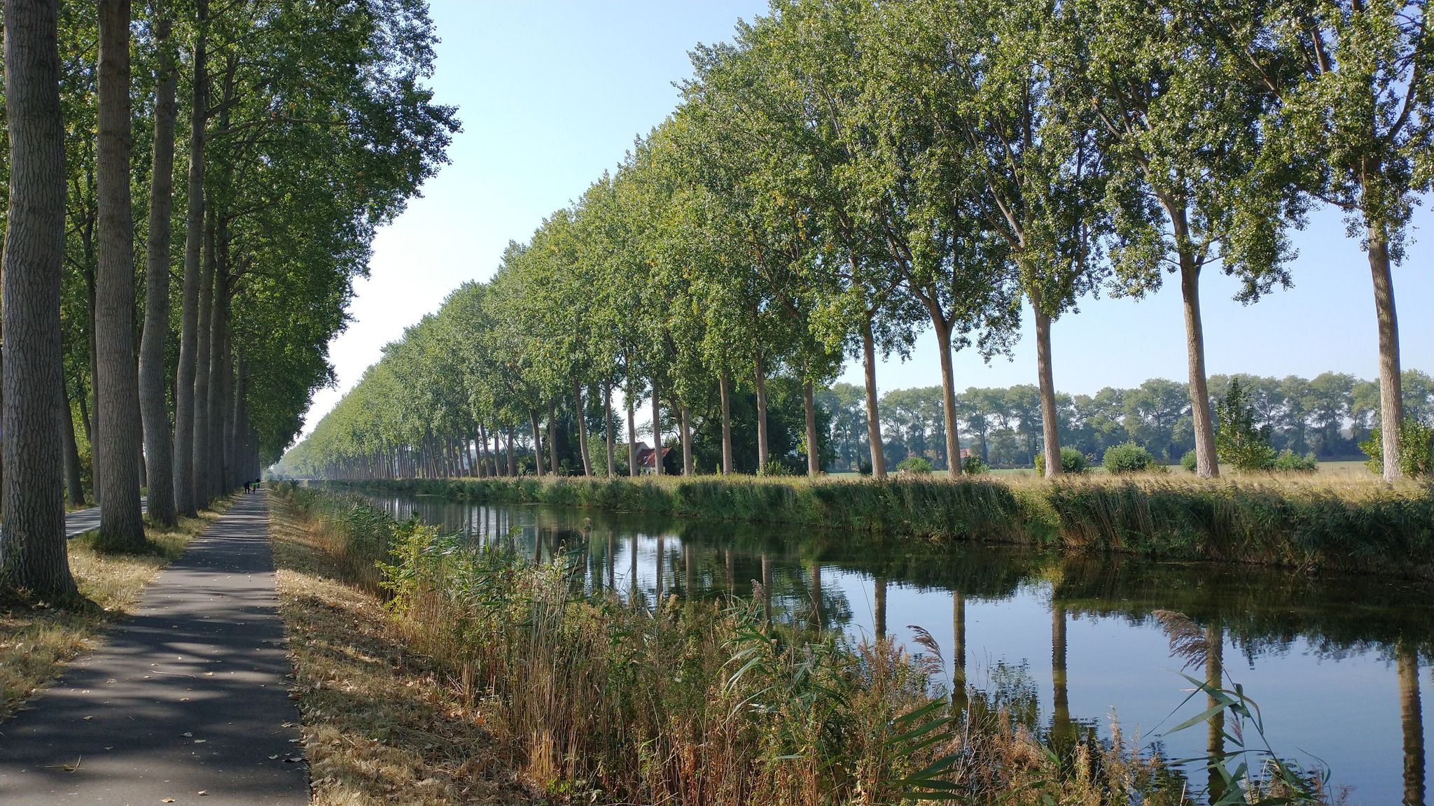
海岸と運河 - フランダースとゼーランド・フランダースでの旅行
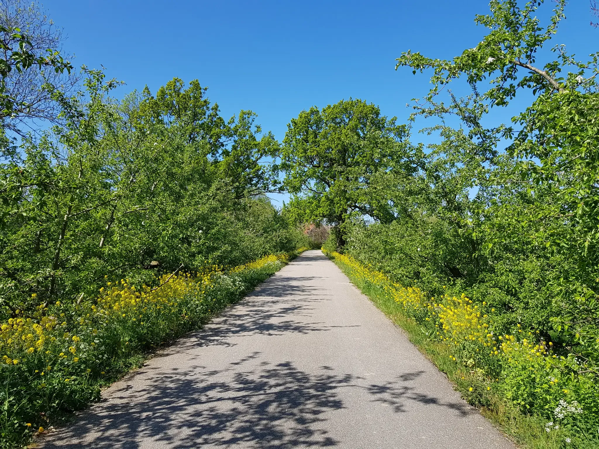
自転車でおいしいフルーツルート — オランダ全国をまたいだ4カ所のルート
ゼーラントでのの他の冒険


コミュニティからのヒント

Veere is located on the former island of Walcheren in Zeeland. It's a city with a rich history dating back to the Middle Ages. Once a thriving trading center, the city has retained its medieval charm while bearing silent witness to many historical events. A stroll through the city center reveals not only the city's centuries-old history but also the unique way in which culture is interwoven with daily life. (Wandel.nl)
10
0
Founded in 1474 by Hendrik IV of Borssele. The foundation stone was laid by his grandson Louis. It is a Late Gothic building, designed by Mr. Evert Spoorwater. Statue niches designed by Andries Keldermans depict the Lords and Ladies of Borssele. In 1934, the old statues were replaced by new ones made by O. Wenckebach. The current tower dates from 1599, in Renaissance style, designed by Adriaen de Muer of Bruges. The Louis XIV-style landing dates from 1749. (Information board on site)
11
0

Endless beaches, great views, beautiful bike path.
1
0

The cycle path above the dike is raised - logically - so you have a great view of the sea.
4
1

The Veersedam, or Veersegatdam, was built in 1961 at the mouth of the Veerse Gat to protect parts of Walcheren, Noord-Beveland, and Zuid-Beveland from a potential new disaster. The construction of the dam, which was intended to connect Walcheren with Noord-Beveland, was not easy. The Veerse Gat was larger than the Zandkreek, and a strong current occurred at every high tide. More than 70 million m3 of water flowed through the mouth at both low and high tide. If the hole were closed with the same caissons as at the Zandkreek Dam, the current would eventually become too strong (the smaller the hole to be closed, the greater the current, as the same amount of water is forced through a smaller opening). The solution was the so-called "pass caissons," which, unlike the unit caissons of the Zandkreek Dam, were open. The section where the dam was to be built was first raised by spraying sand, and then a "sill" of stones was placed on which the caissons could stand firmly. The caissons were then placed one by one into the 320-meter-wide hole. At the time of installation, the caissons were still open, allowing water to flow freely, and only when the flow was minimal were the gates in the caissons lowered. Since the Zandkreek was already closed, a new lake, the Veerse Meer, was created. Much would change in this lake, especially as the saltwater slowly became brackish. Source: https://www.hollandlandofwater.com/de/veerse-gatdam/
7
0
Impressive lighthouse on the cycle path, beautiful sea view.
5
0

The black and white of the tower and then that gray is not to be missed...
9
0

If you get there early in the morning, you can enjoy the peace and quiet almost alone
1
0
ゼーラントでのの人気観光スポット

komootモバイルアプリでインスピレーションを得よう


探していたものは見つかりませんでしたか?
近くの素晴らしい場所をもっと探索したいですか?ガイドを見てみましょう:
さらに探索
まだ探しているハイライトが見つかりませんか?他の地域のトップアトラクションのガイドを見てみましょう:
