アンヴァイラー・アム・トリフェルスでの周辺の簡単なハイキングとウォーキング
4.6
(13682)
48,454
ハイカー
174
ハイキング
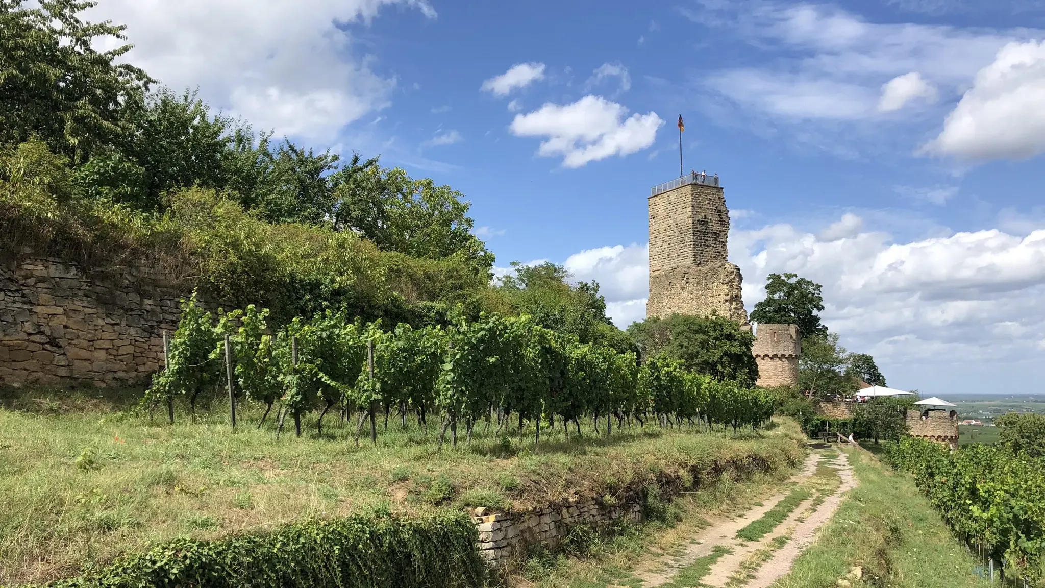
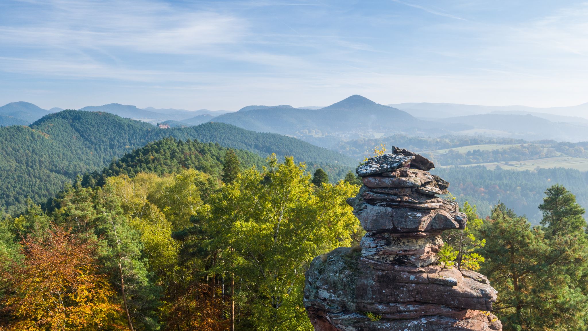
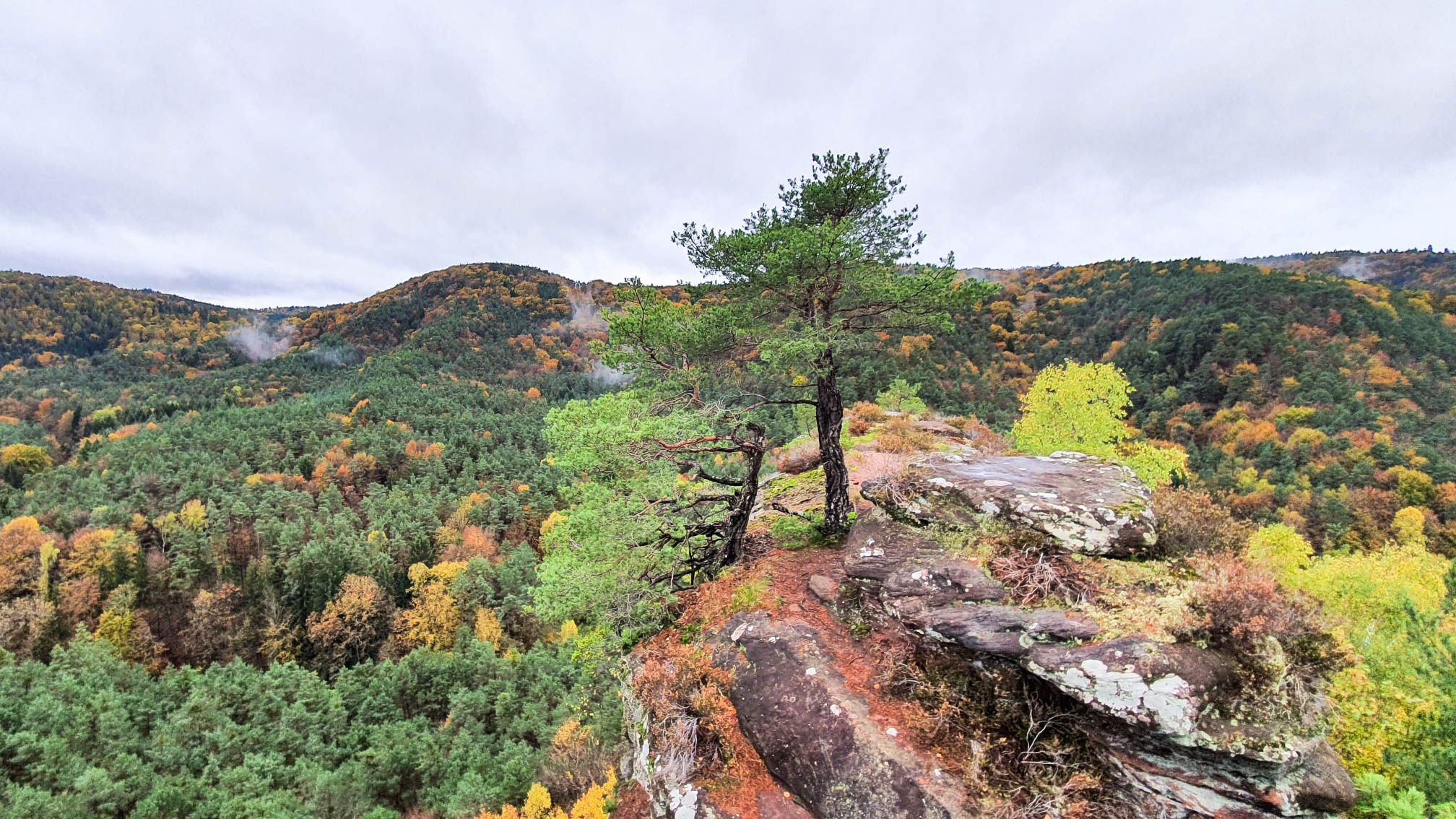
Annweiler am Trifels周辺の簡単なハイキングコースは、プファルツの森生物圏保護区内の多様な景観を巡ります。この地域は、鬱蒼とした森林、景色の良いクアイヒ谷、そして特徴的な砂岩の岩石層に彩られています。ハイカーは、ぶどう畑の丘や、森の広大な眺望を提供する数多くの展望台を探索できます。このエリアは、アクセスしやすいアウトドア体験に適した変化に富んだ地形を提供します。
Annweiler am Trifels周辺のベストな簡単なハイキングコース
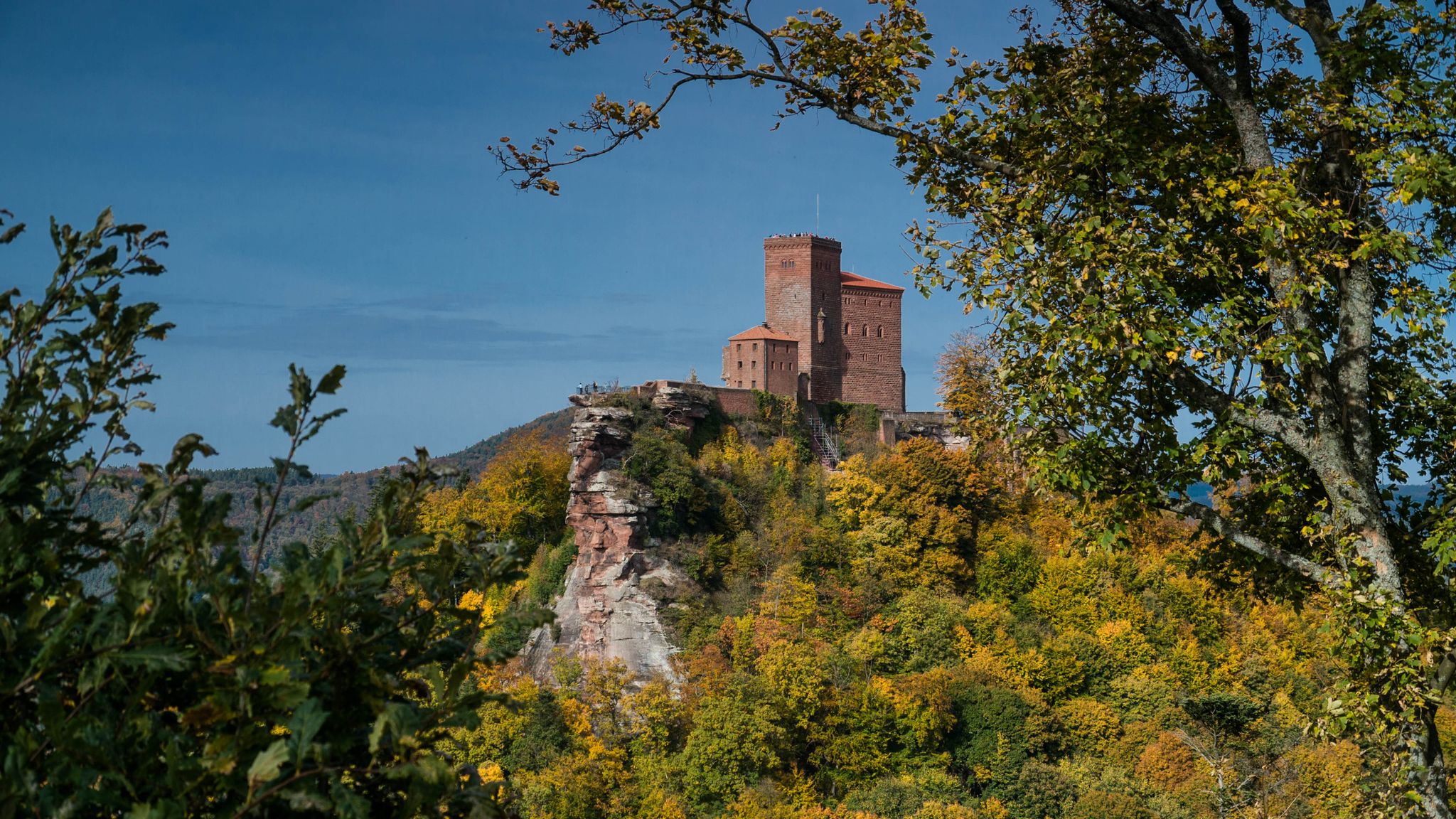
- 最も人気のある簡単なハイキングコースは、トリフェルス城の眺め – Annweiler am Trifelsからのトリフェルス城ループで、距離3.6マイル(5.8 km)、所要時間1時間52分です。このコースからは、歴史的なトリフェルス城の眺めが楽しめます。
- 地元のハイカーに人気のもう一つのコースは、Gräfenhausenの眺め(Gräfenhausenフレーム)Rinnthalからのループで、距離3.3マイル(5.3 km)の簡単なコースです。このトレイルからは、プファルツの森の景観を眺めることができます。
- 地元のハイカーに愛されているのは、Forsthaus Schwarzer Fuchs – Kirschfelsen Viewpoint Forsthaus Annweilerからのループで、距離3.5マイル(5.6 km)のトレイルは、森の小道を通っており、所要時間は約1時間34分です。
- Annweiler am Trifels周辺のハイキングは、鬱蒼とした森、砂岩の岩石層、そして景色の良い谷が特徴です。このネットワークは、簡単なハイキングコースに重点を置きながら、様々なレベルのハイカーに対応するオプションを提供しています。
- Annweiler am Trifelsのコースは、11,000件以上のレビューから平均4.6つ星を獲得しており、komootコミュニティから高く評価されています。44,000人以上のハイカーがkomootを利用して、Annweiler am Trifelsの多様な地形を探索しています。
最終更新日: 8月 31, 2026
4.7
(1044)
3,311
ハイカー
6.22km
01:57
250m
250m
初級者向けハイキング. あらゆるフィットネスレベルに適しています。 進みやすいルートです。あらゆるスキルレベルに適しています。
4.7
(79)
319
ハイカー
5.26km
01:42
230m
220m
初級者向けハイキング. あらゆるフィットネスレベルに適しています。 進みやすいルートです。あらゆるスキルレベルに適しています。

無料新規登録
4.7
(56)
238
ハイカー
4.17km
01:15
140m
140m
初級者向けハイキング. あらゆるフィットネスレベルに適しています。 進みやすいルートです。あらゆるスキルレベルに適しています。
4.5
(35)
140
ハイカー
3.47km
00:57
60m
60m
初級者向けハイキング. あらゆるフィットネスレベルに適しています。 進みやすいルートです。あらゆるスキルレベルに適しています。
4.8
(109)
362
ハイカー
5.74km
01:53
270m
270m
初級者向けハイキング. あらゆるフィットネスレベルに適しています。 進みやすいルートです。あらゆるスキルレベルに適しています。
さらに多くのルートや他のユーザーのおすすめ情報を確認できます。
無料新規登録
すでにアカウントをお持ちですか?
おすすめのツアーは他のkomootユーザーが実際に経験した何千ものアクティビティに基づいています。
アンヴァイラー・アム・トリフェルスでのの他の冒険


コミュニティからのヒント

The Ritterstein No. 71, inscribed "Am Holläenderklotz," is located approximately 600 meters north of the Luitpold Tower. The Ritterstein stands in the center of a hiking parking lot. Next to the Ritterstein grows an oak tree nearly 20 meters tall. The inscription is misspelled as "Holläender." At the end of the 17th century, numerous Dutchmen came to the Palatinate Forest to acquire particularly large tree trunks for shipbuilding. This led to the development of names such as Holländerschlag (Dutch clearing), Holländerbäume (Dutch trees), Holländerholz (Dutch wood), Holländerweg (Dutch path), and Holländerfahrer (Dutchman driver). ...
1
0
Husarenfelsen: A low, massive chain of red sandstone formations west of the Luitpold Tower and east of the Weißenberg Hut, maximum height: 14m
1
0

Superb 360° view. At the foot of the Tower there is a room with a table and a fireplace.
0
0

Husarenfels - Beautiful view from below - Low mountain range west of the Luitpoldsturm and near the Weißenberg Hut on the NatURWALDpfad (Natural Forest Trail) - Merzalben - Verbandsgemeinde Rodalben - LKR. Südwestpfalz
0
0
Heart-shaped tree trunk sculpture ❤ - Palatinate Forest 🌲🌳 - Merzalben - Verbandsgemeinde Rodalben
0
0
The Luitpold Tower (also called Luitpoldsturm) near Merzalben in the Südwestpfalz district of Rhineland-Palatinate is a 34.6 m high observation tower, inaugurated in 1909, on the approximately 610 m above sea level Weißenberg, one of the highest mountains in the Palatinate Forest. It was built of red sandstone. The Luitpold Tower is located in the heart of the Palatinate Forest, within the Palatinate Forest Nature Park. It stands in the municipality of Merzalben, approximately 7 km west-southwest, and 1.3 km north-northwest of the hamlet of Hermersbergerhof, which belongs to the neighboring municipality of Wilgartswiesen, on the summit region of the Weißenberg (approx. 610 m). The idea for building the tower was born on May 29, 1895, at the general meeting of the "Gräfenstein Beautification Association," founded by forestry assessor August Zwissler from Leimen in 1893. It was decided to build an observation tower on the Weißenberg, with an estimated cost of 8,000 to 10,000 marks. The necessary funds were to be raised by association member Martin Jäger, a local poet also known under the pseudonym Fritz Claus. Thanks to his advocacy for the tower, he was able to win over the Palatinate Forest Association (PWV), founded in Ludwigshafen in 1902, to his cause. The PWV leadership took over the coordination of the project, commissioned architect Ludwig Ullmann to draw up the plans, and raised the necessary funds primarily from membership dues. The name was suggested by Karl Albrecht von Ritter, the then chairman of the PWV; it was named after Prince Luitpold of Bavaria. Construction of the tower began on July 19, 1908, and its inauguration took place on September 26, 1909. The cost was approximately 23,000 marks, which, based on the base year 2000, corresponds to approximately 256,000 euros. The Palatinate Forest Association was able to complete payment of this amount as early as 1911. Source: https://de.wikipedia.org/wiki/Luitpoldturm#Renovierung_und_Erhaltung
1
0


Presumably you are looking towards Gossersweiler-Stein (and into the vastness of the Wasgau).
1
0
よくある質問
アンナイラー・アム・トリフェルス周辺には、簡単なハイキングコースがどのくらいありますか?
アンナイラー・アム・トリフェルスには、簡単なハイキングコースが豊富にあり、75以上のルートが「簡単」に分類されています。この地域全体では、プファルツの森生物圏保護区内の多様な景観を巡る160以上のハイキングの機会があります。
アンナイラー・アム・トリフェルスでの簡単なハイキングでは、どのような地形が期待できますか?
アンナイラー・アム・トリフェルスでの簡単なハイキングは、変化に富んだ地形が特徴です。鬱蒼とした森、クアイヒ谷を通る風光明媚な小道、特徴的な砂岩の岩層に出会うでしょう。多くのルートはぶどう棚に覆われた丘陵地帯を通り、森、谷、ぶどう畑の風景が組み合わさっています。
この地域には、家族向けの簡単なハイキングコースはありますか?
はい、アンナイラー・アム・トリフェルスは非常に家族連れに適しています。多くの簡単なトレイルは全年齢層に適しており、緩やかな登りと魅力的な見どころがよくあります。例えば、アンナイラー城トレイルは、狭い道、岩層、遊び場があり、家族で楽しめます。
アンナイラー・アム・トリフェルス周辺の簡単なハイキングコースに犬を連れて行けますか?
アンナイラー・アム・トリフェルスのほとんどの簡単なハイキングコースは犬同伴可能で、プファルツの森を愛犬と一緒に探索できます。自然保護区内や野生動物の近くでは、常にリードにつないでおくこと、および地域の規制を尊重することが推奨されます。
簡単なハイキングでは、どのようなランドマークや自然の特徴を見ることができますか?
簡単なハイキングでは、重要なランドマークや自然の特徴にたどり着くことができます。トリフェルス城、アネボス城跡、シャールフェンベルク城跡を含む有名な「城の三位一体」を探索できます。その他の注目すべき景観には、オーレンスフェルス展望台、ランデック城、そしてデビルズテーブル(ヒンターヴァイデンタール)のようなユニークな砂岩の形成物があります。
簡単な周回ウォーキングはありますか?
はい、アンナイラー・アム・トリフェルス周辺の多くの簡単なルートは周回型で、便利な出発点と終着点を提供します。人気のオプションは、トリフェルス城の眺め – アンナイラー・アム・トリフェルスからのトリフェルス城ループで、風光明媚な景色を楽しみながら出発点に戻ることができます。
アンナイラー・アム・トリフェルスで簡単なハイキングをするのに最適な時期はいつですか?
プファルツの森地域は一年中美しいです。春には自然が咲き誇り、夏には緑が生い茂り、秋には森が色彩のスペクタクルに変わります。冬でも、適切な装備があれば、特に晴れた日にはトレイルを楽しむことができます。簡単なハイキングには、天候条件によりますが、どの季節でも適しています。
例えば5km未満の短い簡単なハイキングはありますか?
もちろんです。アンナイラー・アム・トリフェルスの多くの簡単なハイキングは、短い散策のために設計されています。例えば、ホーフシュテッテンからのアイダーバッハタールトレイルループは、わずか3.8kmの簡単なルートで、短時間で楽しい散歩に最適です。
簡単なハイキングコースの駐車場はどこで見つけられますか?
アンナイラー・アム・トリフェルスとその周辺の村々には、トレイルヘッドの近くに様々な駐車オプションがあります。特にアンナイラーから直接始まるルートの多くには、指定された駐車場があります。詳細な駐車情報については、特定のルートの説明を確認することをお勧めします。
公共交通機関でハイキングコースにアクセスできますか?
アンナイラー・アム・トリフェルスは公共交通機関でアクセス可能で、町の駅やバス停からトレイルヘッドに到達できるものもあります。遠くから始まるルートの場合は、公共交通機関と短い徒歩またはタクシーを組み合わせる必要があるかもしれません。最新の情報については、現地の交通機関の時刻表を確認してください。
アンナイラー・アム・トリフェルスの簡単なトレイルについて、他のハイカーは何を最も楽しんでいますか?
アンナイラー・アム・トリフェルスの簡単なトレイルは、11,000件以上のレビューで平均4.6つ星を獲得しており、komootコミュニティから高く評価されています。ハイカーは、印象的な砂岩の岩層や様々な展望台からのパノラマビュー、そしてすべてのスキルレベルに適した整備された道など、この地域の多様な景観を頻繁に称賛しています。
簡単なハイキングルート沿いに、山小屋やカフェはありますか?
はい、この地域にはハイキングルート沿いやその近くにいくつかの山小屋やカフェがあり、休憩の機会を提供しています。注目すべきオプションには、ツィンマーブルンネン(PWV)のランダウ小屋やリンゲルスベルクヒュッテ(PWVフランクヴァイラー)があり、休憩して地元のホスピタリティを楽しむ機会を提供しています。
アンヴァイラー・アム・トリフェルスでのの人気ルート
アンヴァイラー・アム・トリフェルスでのの人気観光スポット

komootモバイルアプリでインスピレーションを得よう


さらに探索
他の地域の最高のハイキングを見てみましょう。
