デッゲンドルフでの周辺の簡単なハイキングとウォーキング
4.5
(7608)
31,194
ハイカー
1,603
ハイキング
デッゲンドルフをウォーキングで探索して、楽しく自然を満喫しましょう。komootでは、みなさんがアドベンチャーを最大限お楽しみいただけるよう、デッゲンドルフでので人気の簡単なハイキングとウォーキングルートのリストを作成しました。これらのルートはショートハイキング、子供連れや家族みんなでのアクティビティにも最適で、誰もが楽しめるルートとなっています。
最終更新日: 10月 9, 2026
4.7
(251)
786
ハイカー
5.80km
01:54
250m
250m
初級者向けハイキング. あらゆるフィットネスレベルに適しています。 進みやすいルートです。あらゆるスキルレベルに適しています。
4.8
(92)
290
ハイカー
7.09km
01:58
130m
130m
初級者向けハイキング. あらゆるフィットネスレベルに適しています。 進みやすいルートです。あらゆるスキルレベルに適しています。

4.7
(87)
270
ハイカー
5.94km
01:39
110m
110m
初級者向けハイキング. あらゆるフィットネスレベルに適しています。 進みやすいルートです。あらゆるスキルレベルに適しています。
4.8
(52)
162
ハイカー
7.31km
01:51
10m
10m
初級者向けハイキング. あらゆるフィットネスレベルに適しています。 進みやすいルートです。あらゆるスキルレベルに適しています。
4.3
(33)
163
ハイカー
6.17km
01:44
120m
120m
初級者向けハイキング. あらゆるフィットネスレベルに適しています。 進みやすいルートです。あらゆるスキルレベルに適しています。
4.2
(46)
167
ハイカー
4.35km
01:22
170m
170m
初級者向けハイキング. あらゆるフィットネスレベルに適しています。 進みやすいルートです。あらゆるスキルレベルに適しています。
4.6
(33)
143
ハイカー
5.12km
01:17
10m
10m
初級者向けハイキング. あらゆるフィットネスレベルに適しています。 進みやすいルートです。あらゆるスキルレベルに適しています。
4.4
(17)
65
ハイカー
6.36km
01:46
110m
110m
初級者向けハイキング. あらゆるフィットネスレベルに適しています。 進みやすいルートです。あらゆるスキルレベルに適しています。
4.7
(17)
196
ハイカー
7.46km
01:54
20m
20m
初級者向けハイキング. あらゆるフィットネスレベルに適しています。 進みやすいルートです。あらゆるスキルレベルに適しています。
4.8
(32)
116
ハイカー
4.25km
01:13
100m
100m
初級者向けハイキング. あらゆるフィットネスレベルに適しています。 進みやすいルートです。あらゆるスキルレベルに適しています。
さらに多くのルートや他のユーザーのおすすめ情報を確認できます。
すでにアカウントをお持ちですか?
おすすめのツアーは他のkomootユーザーが実際に経験した何千ものアクティビティに基づいています。
無料アカウントで今日から始めよう
次の冒険が待っています。
デッゲンドルフ周辺で人気

プラットリングでの周辺の簡単なハイキング
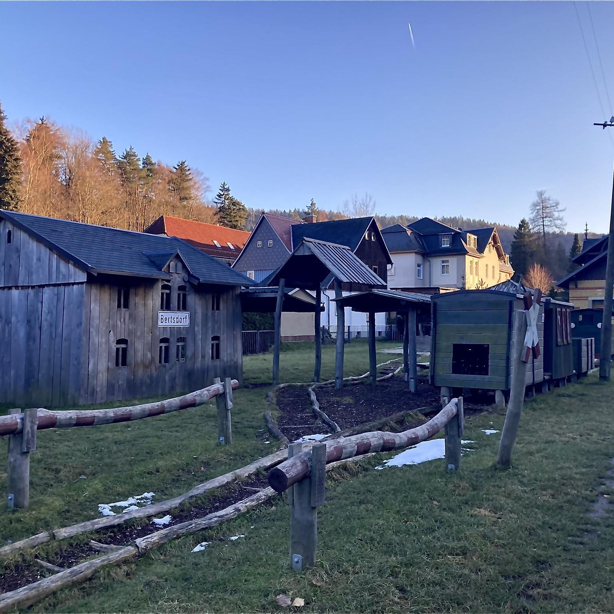
Oberer Klosterwald周辺の簡単なハイキング

イザールミュンドゥンでの周辺の簡単なハイキング

Im Biendl周辺の簡単なハイキング
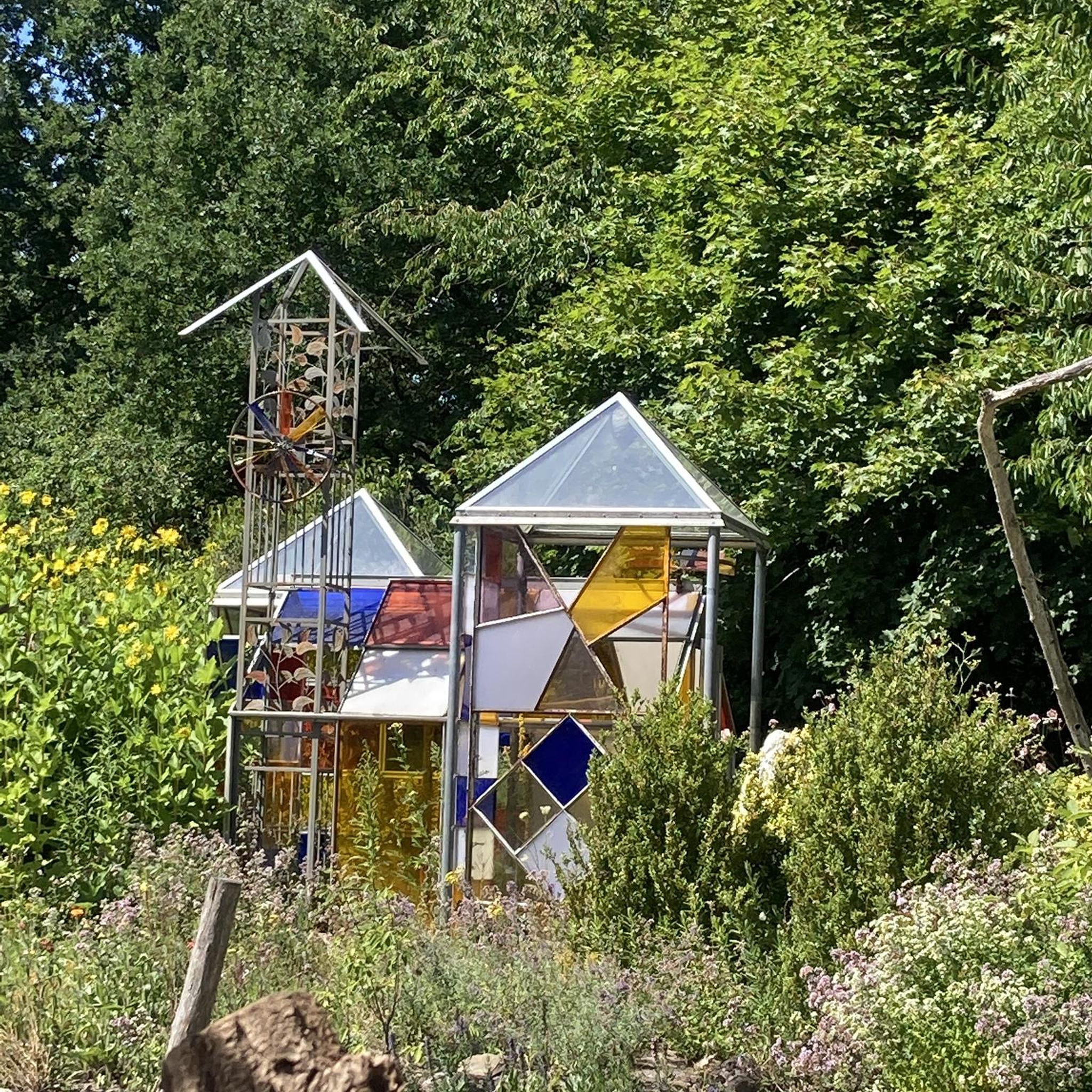
Bruckbachholz周辺の簡単なハイキング

ゴールドシュタイグ - オーバーパラティナートとパッサウの間の38ステージ
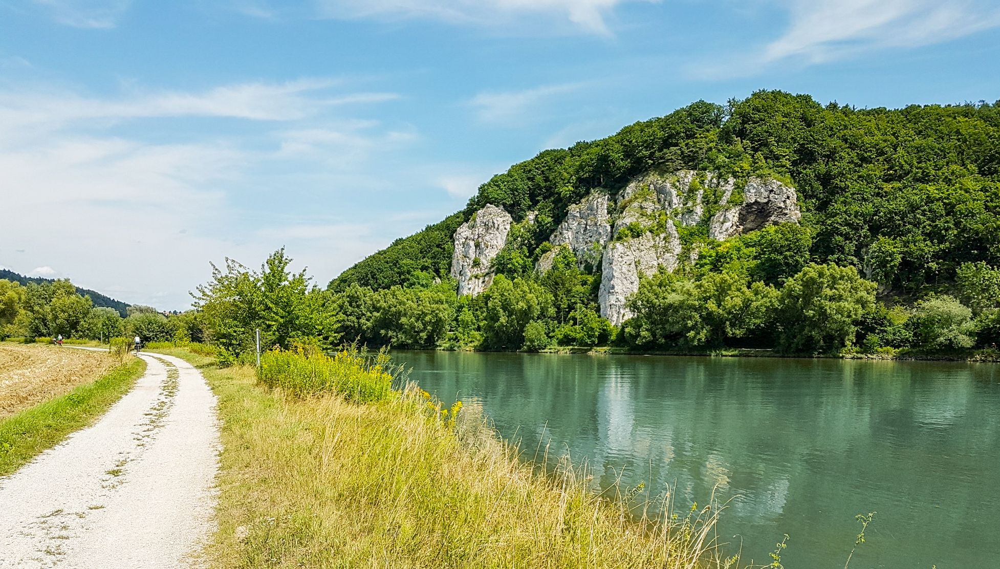
ドナウ・パノラマウェグ - 10日間の自然景観と文化的洞察

Goldsteig — The best routes for long distance hiking in Eastern Bavaria
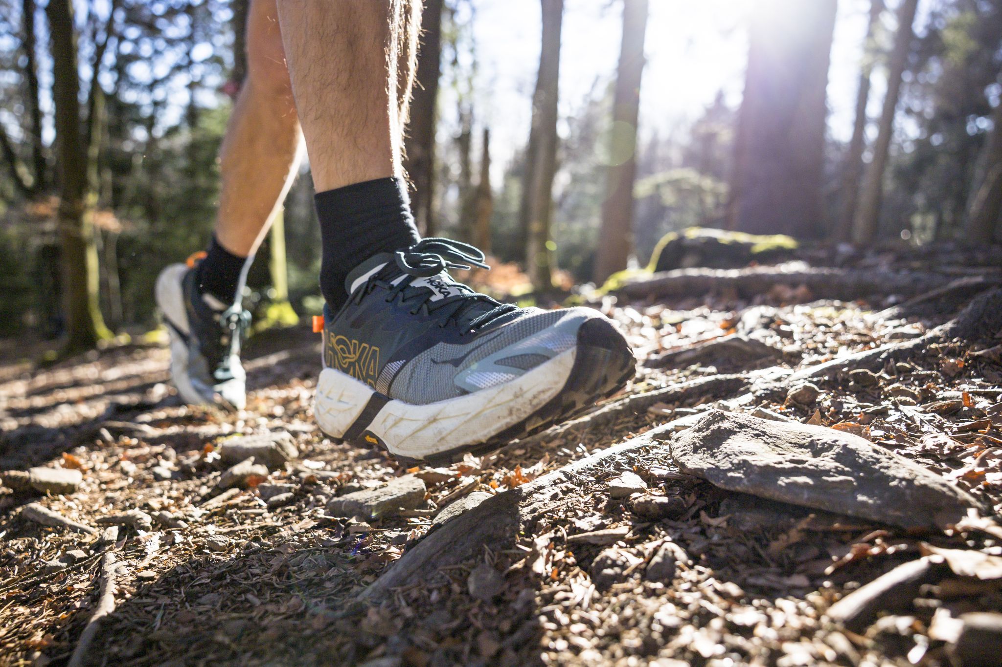
Run Wilder – six trail runs in Germany with the HOKA Speedgoat 7

#GoFurther – discover the views of Germany!
デッゲンドルフでのの他の冒険


コミュニティからのヒント


At around 750 years old, the ancient linden tree in Euschertsreuth is one of the most majestic linden trees in Europe. An impressive natural spectacle that surprises every cyclist.
0
0

Not just the Danube bridge. Also the city center area with the church towers and the old town hall.
4
0
Old Bavaria was once a wine-growing region. Here, it is being revived.
4
0
A memorial established in 1929. Definitely worth a visit. More information: https://www.niederbayern-wiki.de/wiki/Gefallenenhain_(Deggendorf)
3
0
Behind the parish church of the Assumption of Mary rises the Geiersberg hill. A nature and history trail leads through the town forest up to the Geiersberg Church, which was once situated on the long-distance trade route to Bohemia. The church itself is a late Gothic building, completed in 1486. The church tower on the north side received its present appearance during the renovation of 1882. To the right of the church stands a fountain, first mentioned in 1608. It is the so-called Five Wounds Fountain. It has changed location several times; since 1926, it has been located on the south side of the church. Around the edge of a large basin are depictions of the grieving Mary with Christ on her lap and two angel figures. The spring water that fed the fountain was said to have flowed from the heart, hands, and feet of Christ and collected in the basin. The Geiersberg Church is a pilgrimage church. The faithful come here to pray to Mary and ask for her help. The miraculous image of Our Lady of Sorrows dates back to around 1400 and depicts the grieving Mary holding her dead son in her lap. The sculpture is surrounded by a round frame in the shape of a rose, which is why it is also called "Mary in the Rose." The miraculous image is incorporated into a neo-Gothic winged altarpiece created in 1882, which depicts scenes from the life of Jesus. Numerous votive paintings adorn the walls of the Geiersberg Church. These are images that people have donated as offerings of thanks for their deliverance from hardship, danger, or illness. These votive paintings are all similar in structure: In the upper half of the image, the heavenly power invoked for assistance appears, usually in the form of the miraculous image; in the lower half, the reason for the gratitude and the donor are depicted. An inscription panel may provide a more detailed explanation and date of the event. Source: https://mariae-himmelfahrt.de/portfolio/geiersberg/
3
0
The ideal starting point for tours at the Ruselabsatz. Ample parking available.
4
0

デッゲンドルフでのの人気観光スポット

komootモバイルアプリでインスピレーションを得よう


探していたものは見つかりませんでしたか?
デッゲンドルフの下にある他のハイキングをチェックして、目的地で完璧なルートを見つけましょう。
さらに探索
他の地域の最高のハイキングを見てみましょう。
