ショームバーグでの周辺の簡単なハイキングとウォーキング
4.6
(12231)
42,615
ハイカー
1,887
ハイキング
ショームバーグをウォーキングで探索して、楽しく自然を満喫しましょう。komootでは、みなさんがアドベンチャーを最大限お楽しみいただけるよう、ショームバーグでので人気の簡単なハイキングとウォーキングルートのリストを作成しました。これらのルートはショートハイキング、子供連れや家族みんなでのアクティビティにも最適で、誰もが楽しめるルートとなっています。
最終更新日: 10月 20, 2026
4.7
(234)
729
ハイカー
7.35km
01:59
100m
100m
初級者向けハイキング. あらゆるフィットネスレベルに適しています。 進みやすいルートです。あらゆるスキルレベルに適しています。
4.6
(92)
400
ハイカー
6.54km
01:48
100m
110m
初級者向けハイキング. あらゆるフィットネスレベルに適しています。 進みやすいルートです。あらゆるスキルレベルに適しています。

4.7
(102)
261
ハイカー
4.40km
01:12
60m
60m
初級者向けハイキング. あらゆるフィットネスレベルに適しています。 進みやすいルートです。あらゆるスキルレベルに適しています。
4.8
(331)
1,095
ハイカー
5.82km
01:41
150m
150m
初級者向けハイキング. あらゆるフィットネスレベルに適しています。 進みやすいルートです。あらゆるスキルレベルに適しています。
4.8
(100)
279
ハイカー
4.44km
01:14
80m
80m
初級者向けハイキング. あらゆるフィットネスレベルに適しています。 進みやすいルートです。あらゆるスキルレベルに適しています。
4.8
(105)
290
ハイカー
6.66km
01:52
130m
130m
初級者向けハイキング. あらゆるフィットネスレベルに適しています。 進みやすいルートです。あらゆるスキルレベルに適しています。
4.7
(70)
232
ハイカー
3.98km
01:02
20m
20m
初級者向けハイキング. あらゆるフィットネスレベルに適しています。 進みやすいルートです。あらゆるスキルレベルに適しています。
4.4
(79)
395
ハイカー
3.47km
01:02
100m
100m
初級者向けハイキング. あらゆるフィットネスレベルに適しています。 進みやすいルートです。あらゆるスキルレベルに適しています。
4.6
(78)
234
ハイカー
初級者向けハイキング. あらゆるフィットネスレベルに適しています。 進みやすいルートです。あらゆるスキルレベルに適しています。
4.7
(64)
192
ハイカー
5.35km
01:31
120m
110m
初級者向けハイキング. あらゆるフィットネスレベルに適しています。 進みやすいルートです。あらゆるスキルレベルに適しています。
さらに多くのルートや他のユーザーのおすすめ情報を確認できます。
すでにアカウントをお持ちですか?
おすすめのツアーは他のkomootユーザーが実際に経験した何千ものアクティビティに基づいています。




コミュニティからのヒント

私のランニングコースの素晴らしい区間です。ここでしばらく景色を楽しむ価値があります
0
0


The beautiful rest area is located in the southern part of Wennenkamp.
1
0

The signpost shows the cardinal directions and distances to important cities and places around the globe.
1
0
The dinosaur tracks in the Bückeberg sandstone quarries are among the most impressive relics of prehistoric times in Northern Germany. In the sandstone layers of the former Obernkirchen quarry, dinosaur footprints have been preserved, dating back approximately 140 million years, when this area was a flat coastal landscape with lagoons and wet sandy areas. Various dinosaur species roamed these soft soils, leaving their tracks in the sand that hardened over time. Both tracks of herbivorous dinosaurs and the typical three-toed footprints of carnivorous species are visible. The sheer number and density of the preserved tracks hint at just how teeming this landscape must have been in the early Cretaceous period. Today, the tracks lie exposed in the rock, offering a direct glimpse into a long-vanished world where enormous animals roamed what is now the Schaumburg region. Today the quarry is part of a protected natural and recreational area and is integrated into a nature trail that introduces visitors to the origin of the traces, the environment at that time and the geological significance of the Bückeberge.
1
0
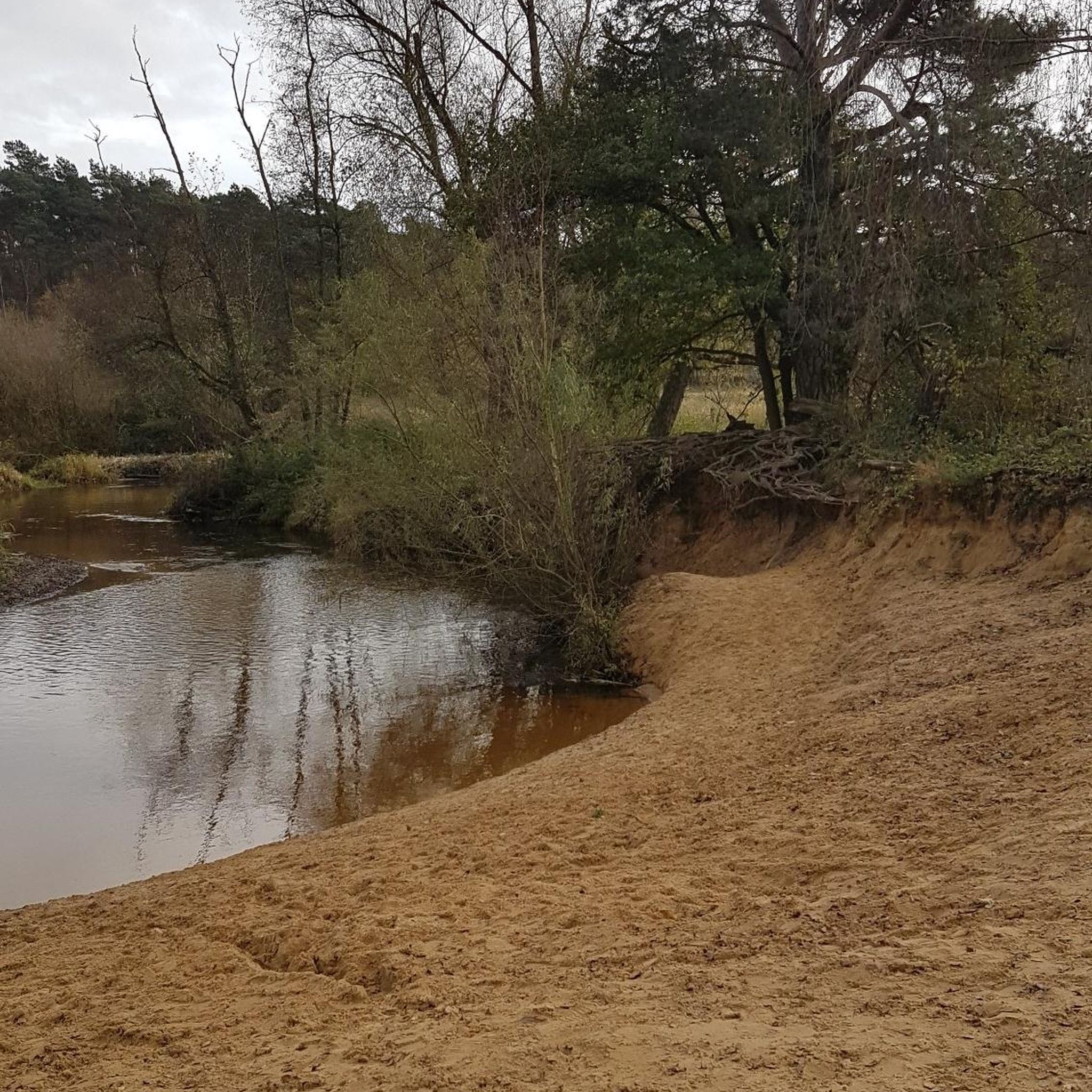
The Walterbach is a small, unassuming, yet significant stream in the Deister hills, giving its name to the Walterbach Valley. It originates in the wooded heights of this low mountain range and flows gently through a diverse valley of meadows, moorland, and dense deciduous forests. Its course appears natural and largely untouched, giving the stream special ecological value. Typical of the Walterbach is its clear, cool water, which meanders gently through the valley. Alders, willows, and ferns grow along its banks, providing shade for the stream and simultaneously offering habitat for numerous animals. Amphibians, dragonflies, and waterfowl find ideal conditions here, while the stream itself is home to small animals and insect larvae, which play a vital role in the ecological balance. The Walterbach not only shapes the natural landscape but also the atmosphere of the valley. Its soft babbling accompanies walkers and hikers on the surrounding paths, enhancing the feeling of peace and seclusion. Especially during periods of heavy rain, the stream becomes more prominent, demonstrating just how dynamic and vibrant this small body of water can be. Historically, the Walterbach likely played a role in the water supply and the use of the surrounding land, for example, for grazing livestock or small-scale forestry.
1
0

The Self-Care Trail near Hattendorf is a gently guided themed path that combines experiencing nature with personal mindfulness. Over a distance of just over four kilometers, it accompanies hikers through a tranquil landscape of meadows, forest edges, and the gentle hills of the Auetal valley. Nine stations invite visitors to pause and turn their gaze inward: to perceive their own resources, to quiet their inner critic, or simply to breathe consciously for a moment. The trail is not intended as a sporting challenge, but rather as an invitation to slow down, a quiet dialogue between people and nature that unfolds its full effect particularly in the early morning hours or after fresh snowfall.
1
0

komootモバイルアプリでインスピレーションを得よう


探していたものは見つかりませんでしたか?
ショームバーグの下にある他のハイキングをチェックして、目的地で完璧なルートを見つけましょう。
さらに探索
他の地域の最高のハイキングを見てみましょう。
