Bukowsko周辺の簡単なハイキングとウォーキング
4.4
(122)
1,183
ハイカー
127
ハイキング
Bukowskoをウォーキングで探索して、楽しく自然を満喫しましょう。komootでは、みなさんがアドベンチャーを最大限お楽しみいただけるよう、Bukowskoで人気の簡単なハイキングとウォーキングルートのリストを作成しました。これらのルートはショートハイキング、子供連れや家族みんなでのアクティビティにも最適で、誰もが楽しめるルートとなっています。
最終更新日: 10月 31, 2026
3
ハイカー
4.24km
01:15
120m
130m
14
ハイカー
5.99km
02:00
280m
280m
初級者向けハイキング. 歩きやすい道です。

2
ハイカー
5.64km
01:44
210m
210m
初級者向けハイキング. 歩きやすい道です。
4.0
(1)
7
ハイカー
3.88km
01:10
130m
130m
初級者向けハイキング. 歩きやすい道です。
さらに多くのルートや他のユーザーのおすすめ情報を確認できます。
すでにアカウントをお持ちですか?
おすすめのツアーは他のkomootユーザーが実際に経験した何千ものアクティビティに基づいています。
無料アカウントで今日から始めよう
次の冒険が待っています。

コミュニティからのヒント

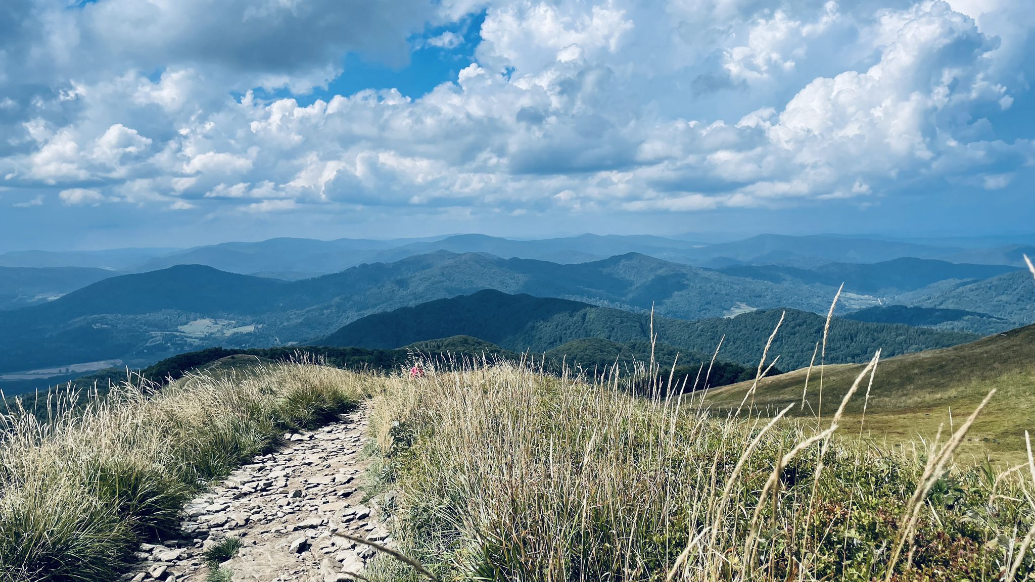
Tokarnia, a peak at 778 meters above sea level, offers stunning and expansive views of the Bukowskie Foothills and the Bieszczady Mountains. Finally, a forest-free peak. It's beautiful and peaceful here—it's hard to believe that heavy fighting took place here during World War II. It's an open clearing, so the wind can blow tourists away quite hard.
1
0

Rzepedka (708 m above sea level) is one of the most scenic peaks in the Low Beskids. We will reach the peak following the trail of the good soldier Švejk from Szczawne. You can leave your car in front of the church. The old Lemko name of the peak is Rożynkania, meaning a horn-shaped mountain. From the top you can see the Low Beskids, the Bieszczady Mountains, the Sanocko-Turczańskie Mountains and even the Tatra Mountains.
2
0
Kąty Peak (another name for the Mountain) with a height of 525 m above sea level. is a little-known peak from the Crown of the Sanok Land. You can reach it via a short route from the village of Poraż. There are many viewing glades along the route from which we can admire the panorama of the Bieszczady Mountains.
2
0
Viewpoint of the Bieszczady Mountains on the blue Sanok - Chryszczata trail.
2
0

Nice peak with an exposed clearing. At the top there is a telecommunication transmitter. There is also a bench.
1
0
Bukowskoの人気観光スポット

komootモバイルアプリでインスピレーションを得よう


さらに探索
他の地域の最高のハイキングを見てみましょう。
