ヘレンタールのおすすめウォーキング&ハイキングルート
4.6
(6583)
24,391
ハイカー
678
ハイキング
ヘレンタール周辺でのハイキングは、景色を満喫するのに最適な手段のひとつですが、適切なハイキングルートを見つけることは簡単ではありません。 ヘレンタール周辺の人気ハイキング&ウォーキングコースを参考にすれば、行きたいルートをすぐに見つけられます。
最終更新日: 10月 10, 2026
4.4
(204)
732
ハイカー
7.28km
02:03
150m
150m
中程度のハイキング. ある程度のフィットネスレベルが必要です。 進みやすいルートです。あらゆるスキルレベルに適しています。
4.4
(112)
393
ハイカー
13.1km
03:33
170m
180m
中程度のハイキング. ある程度のフィットネスレベルが必要です。 進みやすいルートです。あらゆるスキルレベルに適しています。

4.6
(14)
59
ハイカー
18.1km
05:09
430m
340m
難しいハイキング. 標準以上のフィットネスレベルが必要です。 進みやすいルートです。あらゆるスキルレベルに適しています。
4.5
(335)
1,142
ハイカー
14.9km
04:00
180m
180m
中程度のハイキング. ある程度のフィットネスレベルが必要です。 進みやすいルートです。あらゆるスキルレベルに適しています。
4.7
(218)
822
ハイカー
14.4km
04:10
370m
370m
中程度のハイキング. ある程度のフィットネスレベルが必要です。 進みやすいルートです。あらゆるスキルレベルに適しています。
さらに多くのルートや他のユーザーのおすすめ情報を確認できます。
すでにアカウントをお持ちですか?
おすすめのツアーは他のkomootユーザーが実際に経験した何千ものアクティビティに基づいています。
無料アカウントで今日から始めよう
次の冒険が待っています。

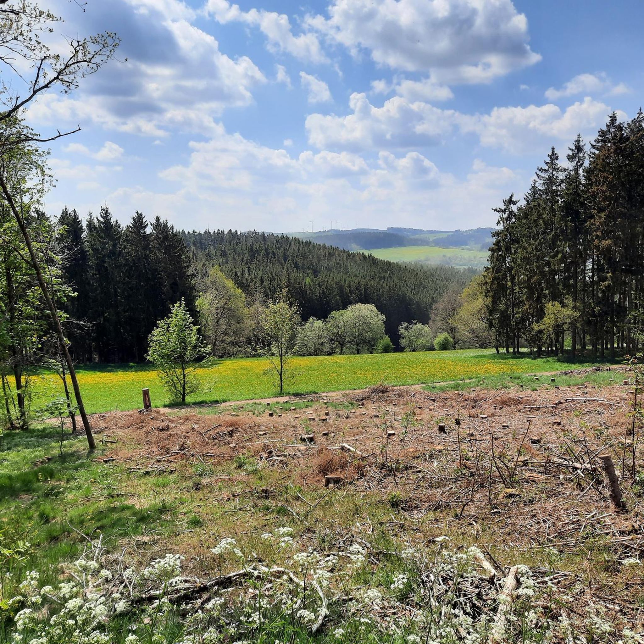
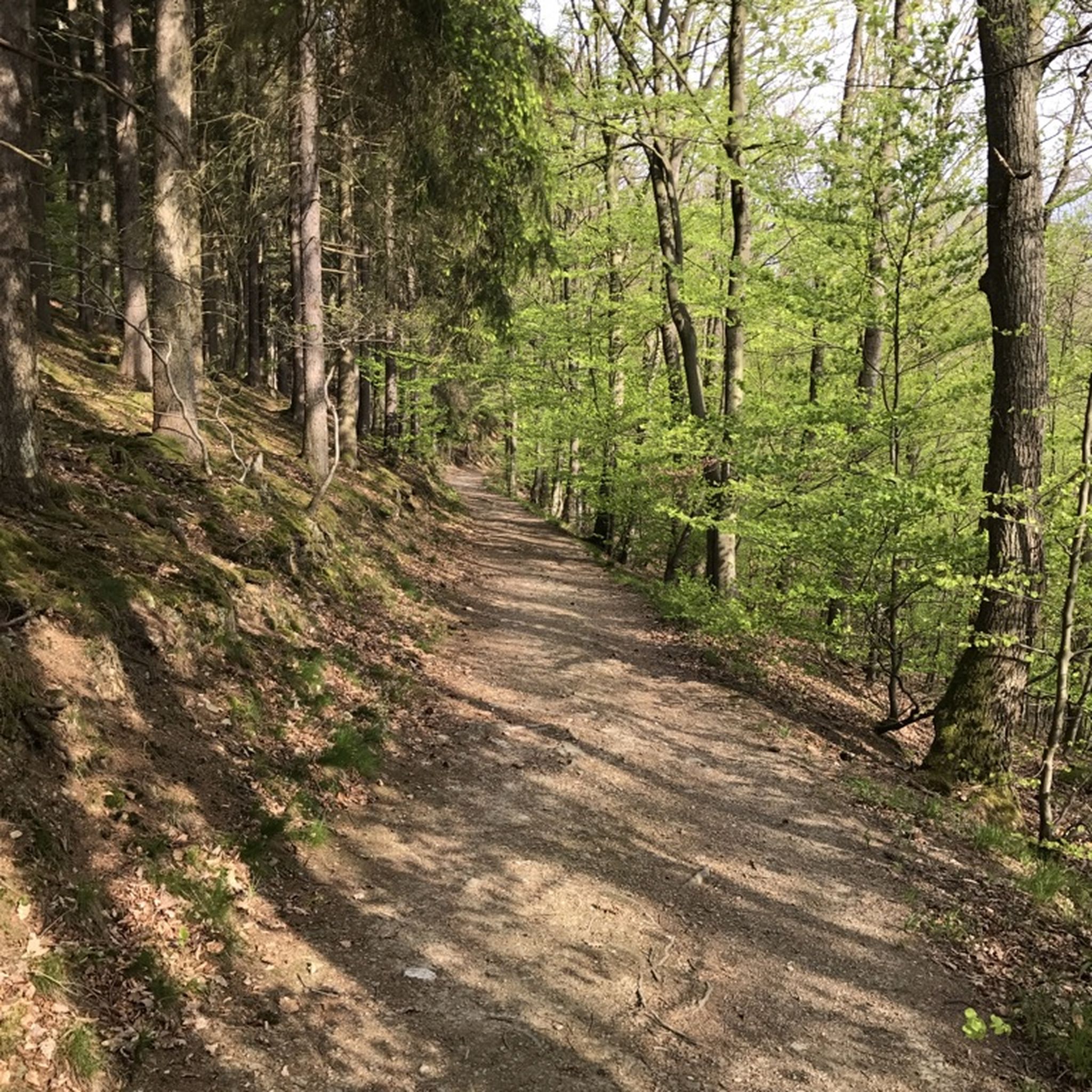
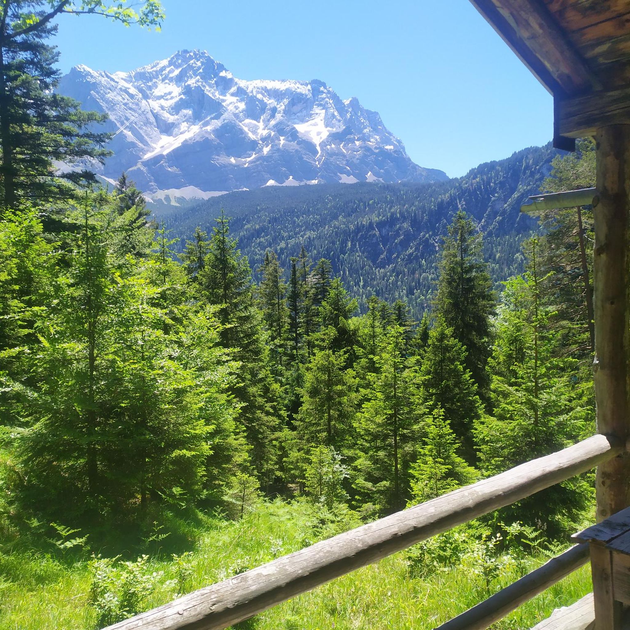
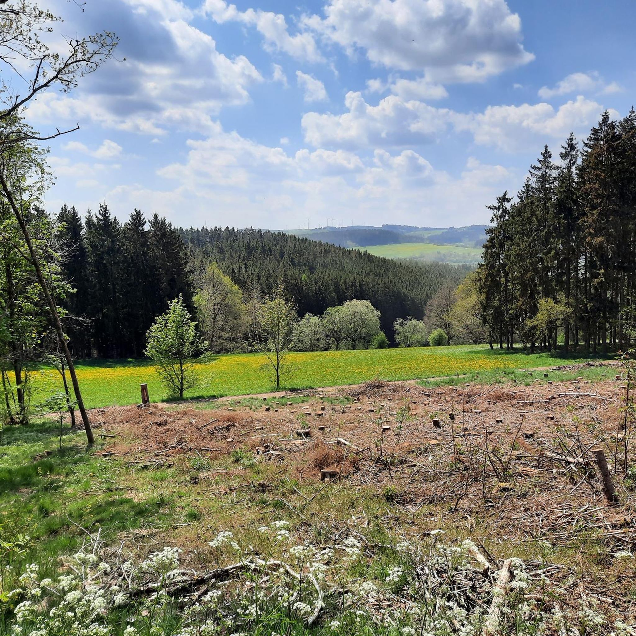
ヘレンタールでのの他の冒険


コミュニティからのヒント

各駅で少し立ち止まって、立ち止まって(または休憩して)みる価値のあるクロイツヴェクです。
0
0

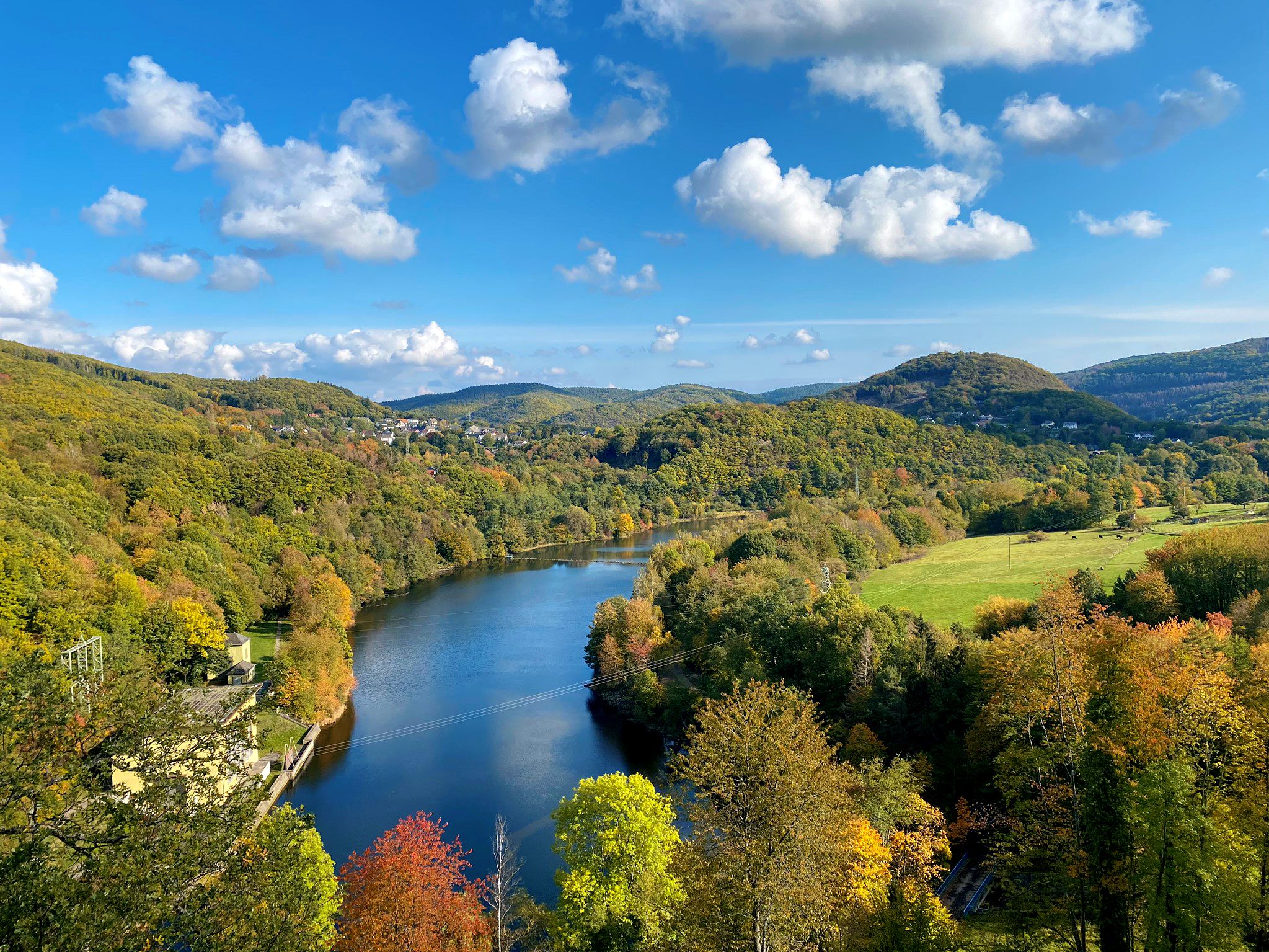
A paved path runs along the Olef Reservoir, popular with cyclists. The circuit is just under 14 km long, offering beautiful views of the reservoir along the way. Numerous benches invite you to take a break.
0
0
The dam wall of the Olef Reservoir rises majestically. It is almost 60 meters high. You can walk along the crest and look out over the lake.
0
0
A paved path runs along the Olef Reservoir, popular with cyclists. The circuit is just under 14 km long, offering beautiful views of the reservoir along the way. Numerous benches invite you to take a break.
0
0

Oleftalsperre dam. After a steep climb, a fixed circular path of approximately 14km lies ahead.
1
0

Dam construction period: 1954–1959 Height above valley floor: 54.6 m Crest length: 282 m Crest width: 5.7 m
0
0

The special wooden loungers are a great invention!
0
0
The unique dam structure of the Oleftalsperre is very impressive from this height! Top!
0
0

komootモバイルアプリでインスピレーションを得よう


さらに探索
他の地域の最高のハイキングを見てみましょう。
