マルトでののおすすめグラベルライド
4.7
(26)
245
ライダー
16
ライド
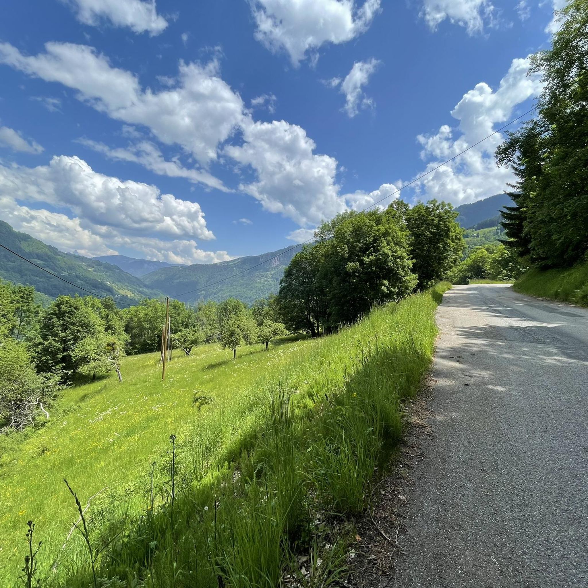
Marthod周辺のグラベルバイクルートは、かなりの標高差と多様な地形を特徴とするプレアルプスを巡ります。この地域には、山岳峠、森林に覆われた斜面、開けた谷を横切るトレイルネットワークがあります。Marthod近郊のこれらのグラベルサイクリングルートは、周囲の景観の広大な景色でしばしば報われる、挑戦的な登りや下りの機会を提供します。この地域の地形は、困難なライドを求める経験豊富なグラベルバイカーに適しています。
Marthod周辺の最高のグラベルバイクトレイル
- 最も人気のあるグラベルバイクトレイルは、17.9マイル(28.9 km)で、完了までに2時間18分かかるコル・デラルペタッツ – コル・デラルペタッツからのルート・デ・ラ・ソワフ・ループです。この難しいルートは、アルプスの風景を通るかなりの登り下りが特徴です。
- 地元のグラベルバイカーに人気のもう一つのトレイルは、32.7マイル(52.6 km)の困難なルートであるファヴェルジュからのシェレル峠ループです。このルートは、森林地帯やかなりの標高差のある開けた場所など、多様な地形を巡ります。
- 地元のグラベルバイカーはまた、山岳峠や谷を通り、約5時間34分で完了することが多い43.6マイル(70.2 km)のトレイルであるモンビザンヌからのコル・デラヴィス – コル・デ・セジエ・ループも気に入っています。
- Marthod周辺のグラベルバイクは、山岳峠、森林に覆われた斜面、開けた谷によって特徴づけられます。このネットワークはさまざまなスキルレベルのオプションを提供しますが、多くのルートは挑戦的なグラベルサイクリングMarthod体験を提供します。
- Marthodのルートは、15件以上のレビューから平均4.5つ星を獲得し、komootコミュニティから高く評価されています。130人以上のグラベルバイカーがkomootを使用してMarthodの多様な地形を探索しました。
最終更新日: 10月 19, 2026
5.0
(3)
32
ライダー
28.8km
02:18
870m
870m
難しいグラベルライド. 標準以上のフィットネスレベルが必要です。 全般的に舗装された状態です。あらゆるスキルレベルに適しています。
4.8
(4)
28
ライダー
50.2km
03:40
1,130m
1,130m
難しいグラベルライド. 標準以上のフィットネスレベルが必要です。 全般的に舗装された状態です。あらゆるスキルレベルに適しています。

20
ライダー
82.6km
06:50
2,680m
2,670m
難しいグラベルライド. 標準以上のフィットネスレベルが必要です。 全般的に舗装された状態です。あらゆるスキルレベルに適しています。
23
ライダー
難しいグラベルライド. 標準以上のフィットネスレベルが必要です。 全般的に舗装された状態です。あらゆるスキルレベルに適しています。
4
ライダー
18.8km
02:09
870m
870m
難しいグラベルライド. 標準以上のフィットネスレベルが必要です。 全般的に舗装された状態です。あらゆるスキルレベルに適しています。
さらに多くのルートや他のユーザーのおすすめ情報を確認できます。
すでにアカウントをお持ちですか?
おすすめのツアーは他のkomootユーザーが実際に経験した何千ものアクティビティに基づいています。
無料アカウントで今日から始めよう
次の冒険が待っています。
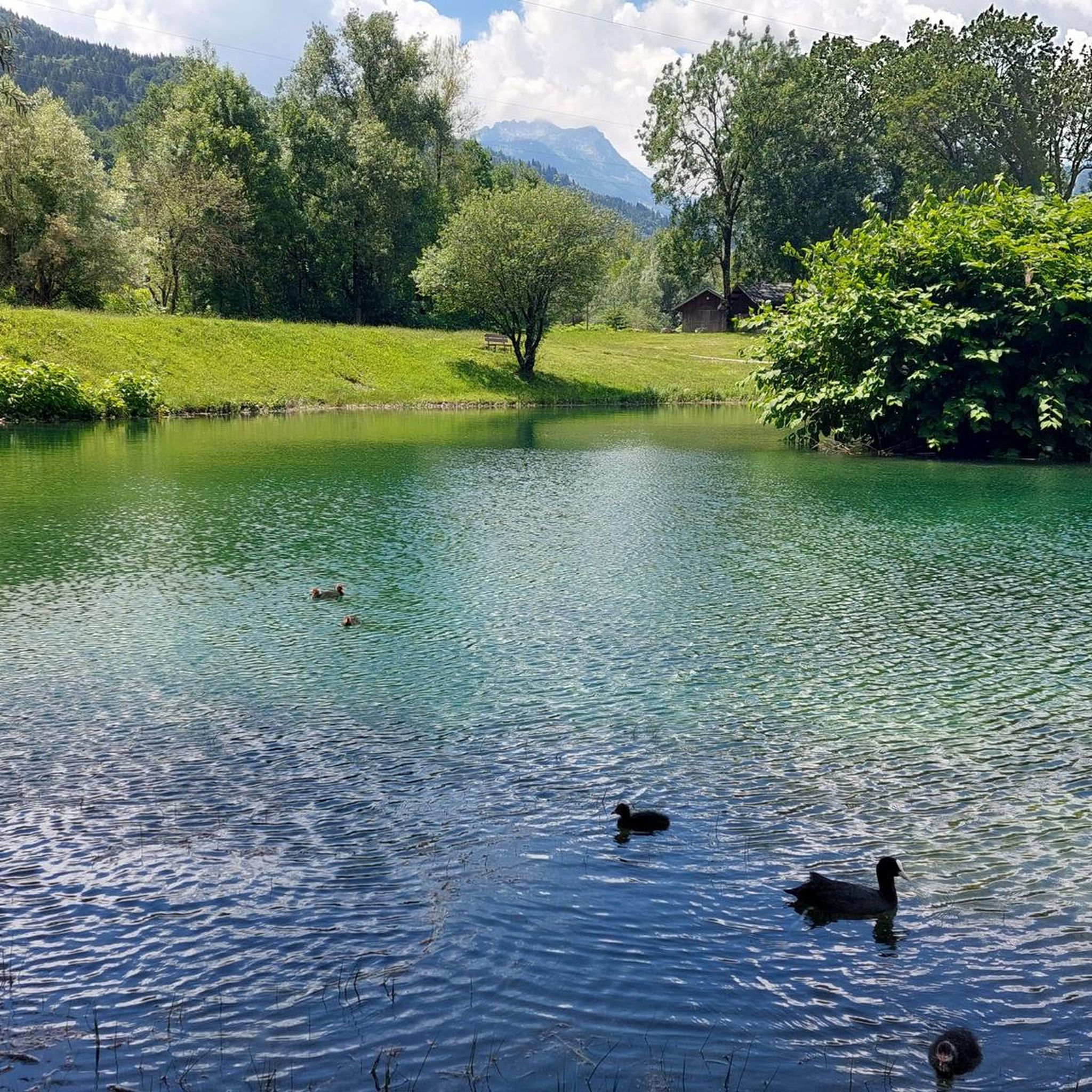
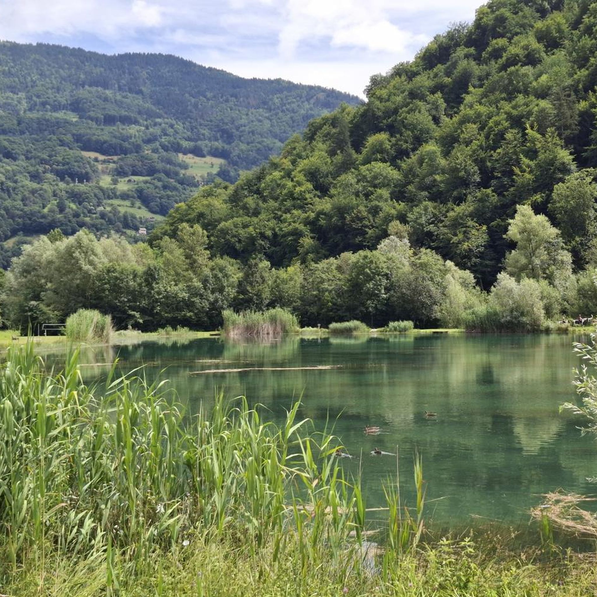
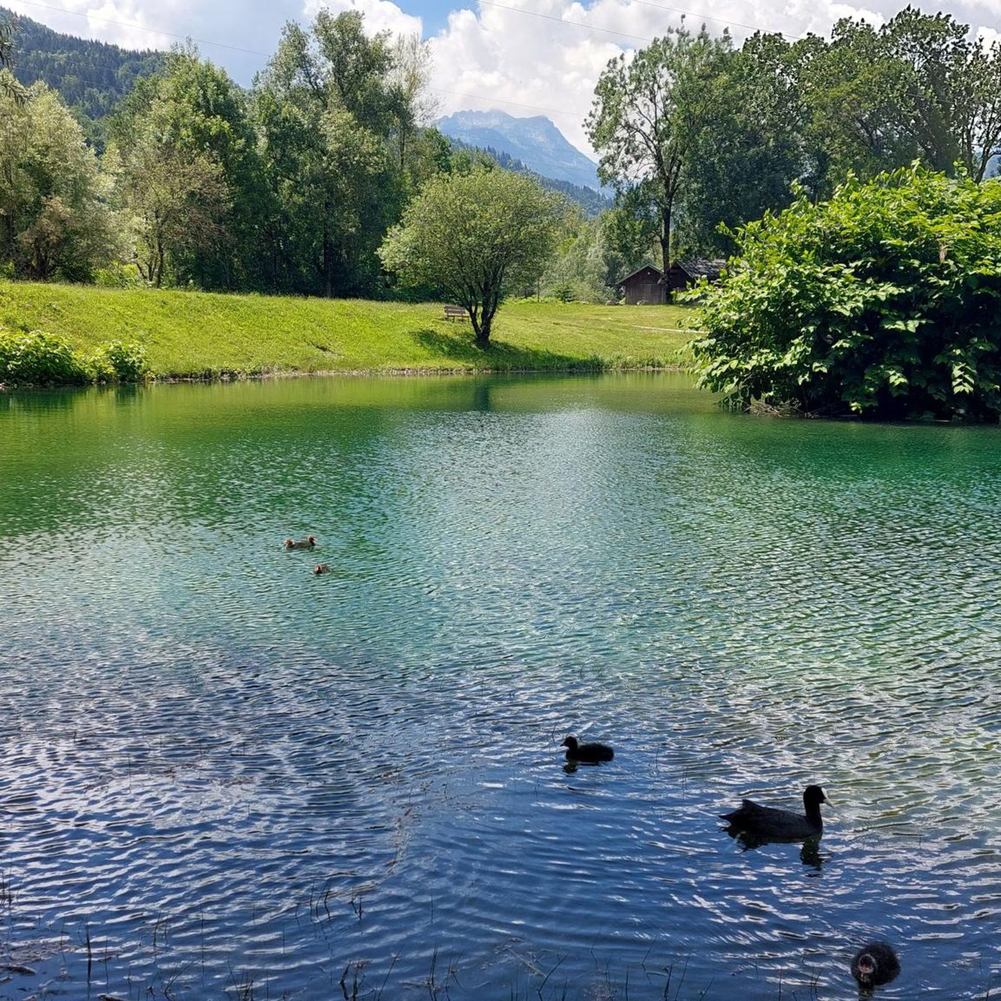
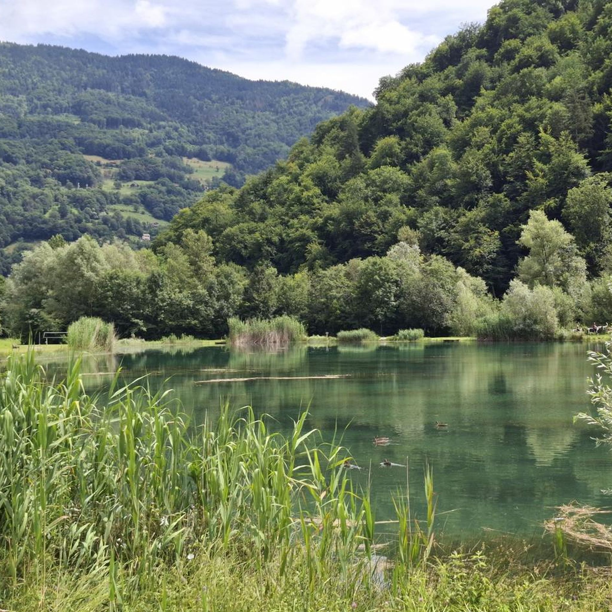

コミュニティからのヒント


この峠を登る場合は、道の脇にある車の残骸を心配しないでください。おそらく下りで事故を起こしたのでしょう。
0
0


素敵な小さな峠、まともだが均一な登り。素晴らしい景色と峠にある素敵なレストラン、Refuge Auberge du Col de l'Arpettaz
3
0
アヌシーとウジンの間の素晴らしい鉄道跡自転車道。素晴らしい景色。
2
0
アンヌシーまでの美しい鉄道跡サイクリングロード、東側沿いには初めは美しいサイクリングロード
3
0

平均9%超の区間が複数キロ続く、非常に厳しい登りです。登るにつれて、谷の景色は素晴らしいです。
1
0

komootモバイルアプリでインスピレーションを得よう


さらに探索
他の地域の最高のグラベルライドを見てみましょう。
