ヴィラール=シュル=ドロンでののおすすめグラベルライド
4.5
(38)
449
ライダー
38
ライド
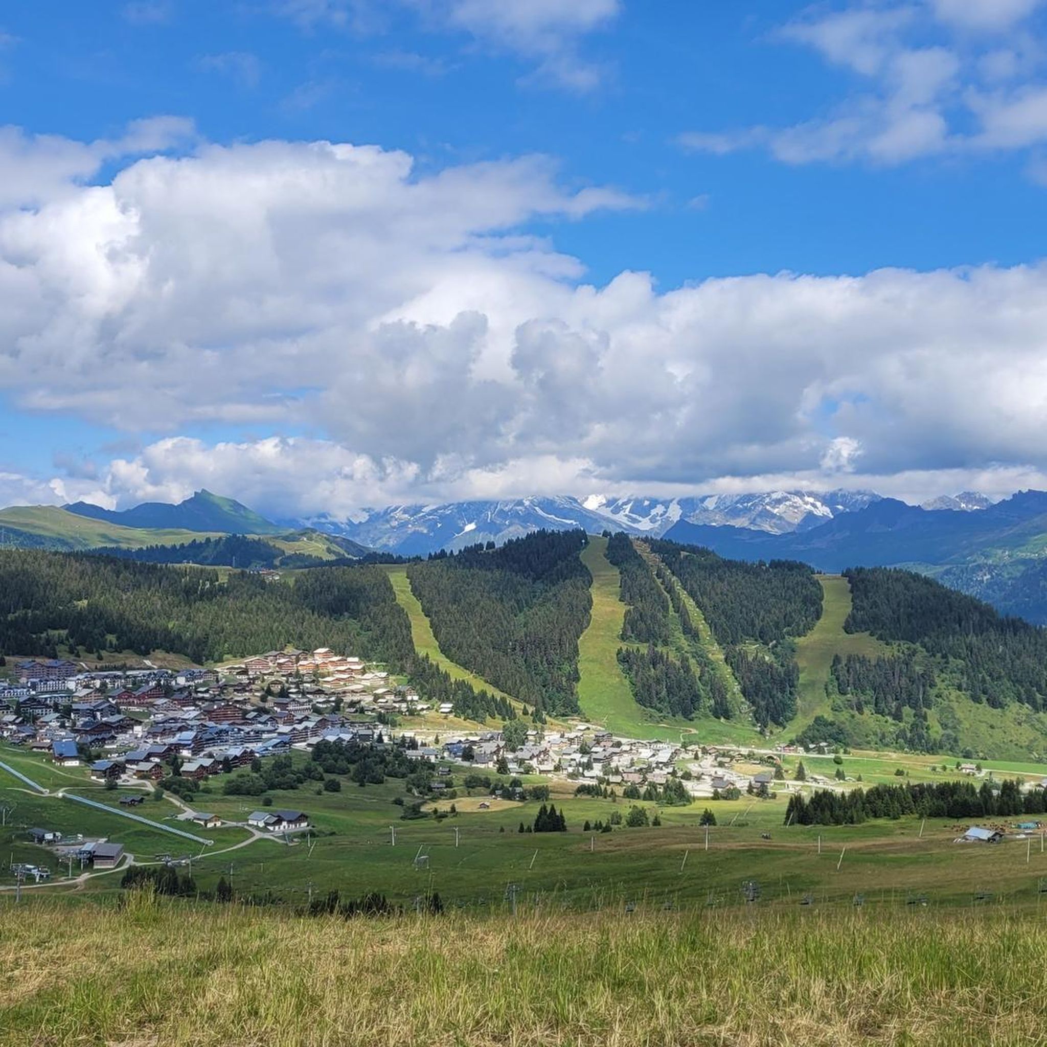
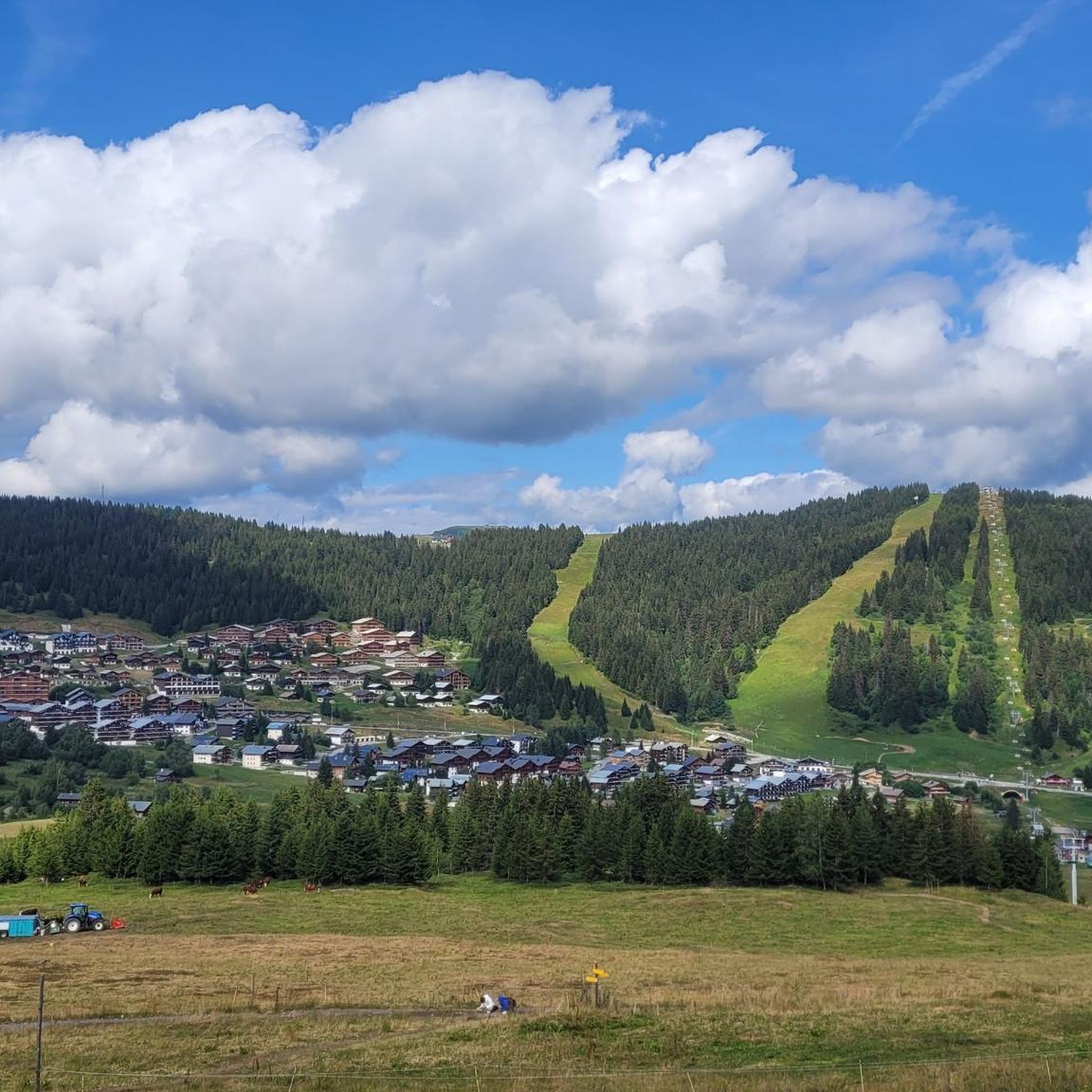
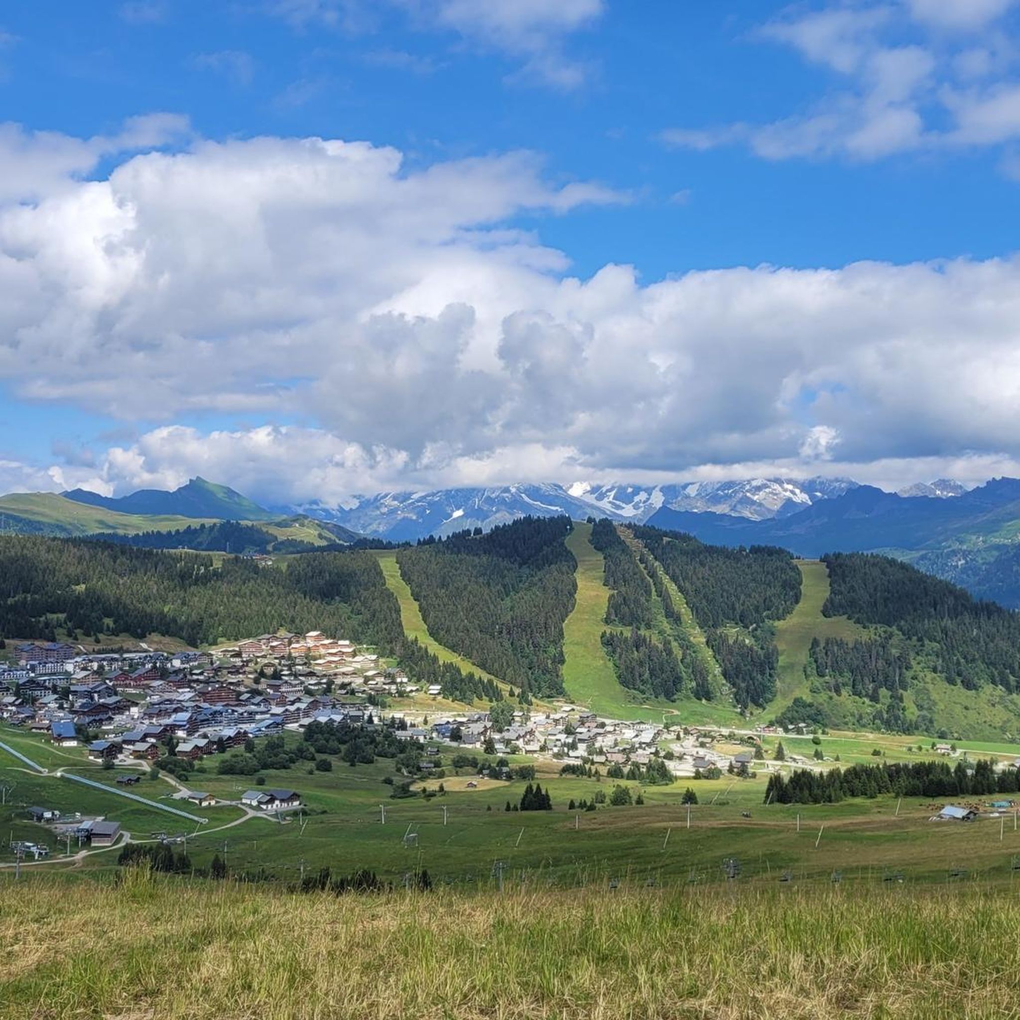
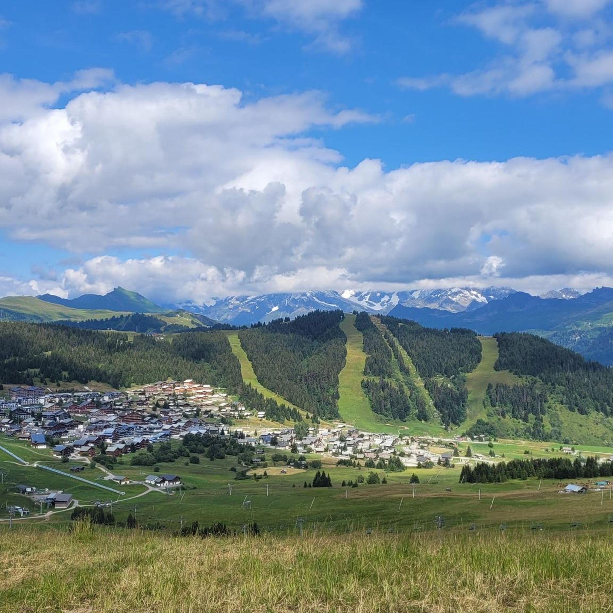
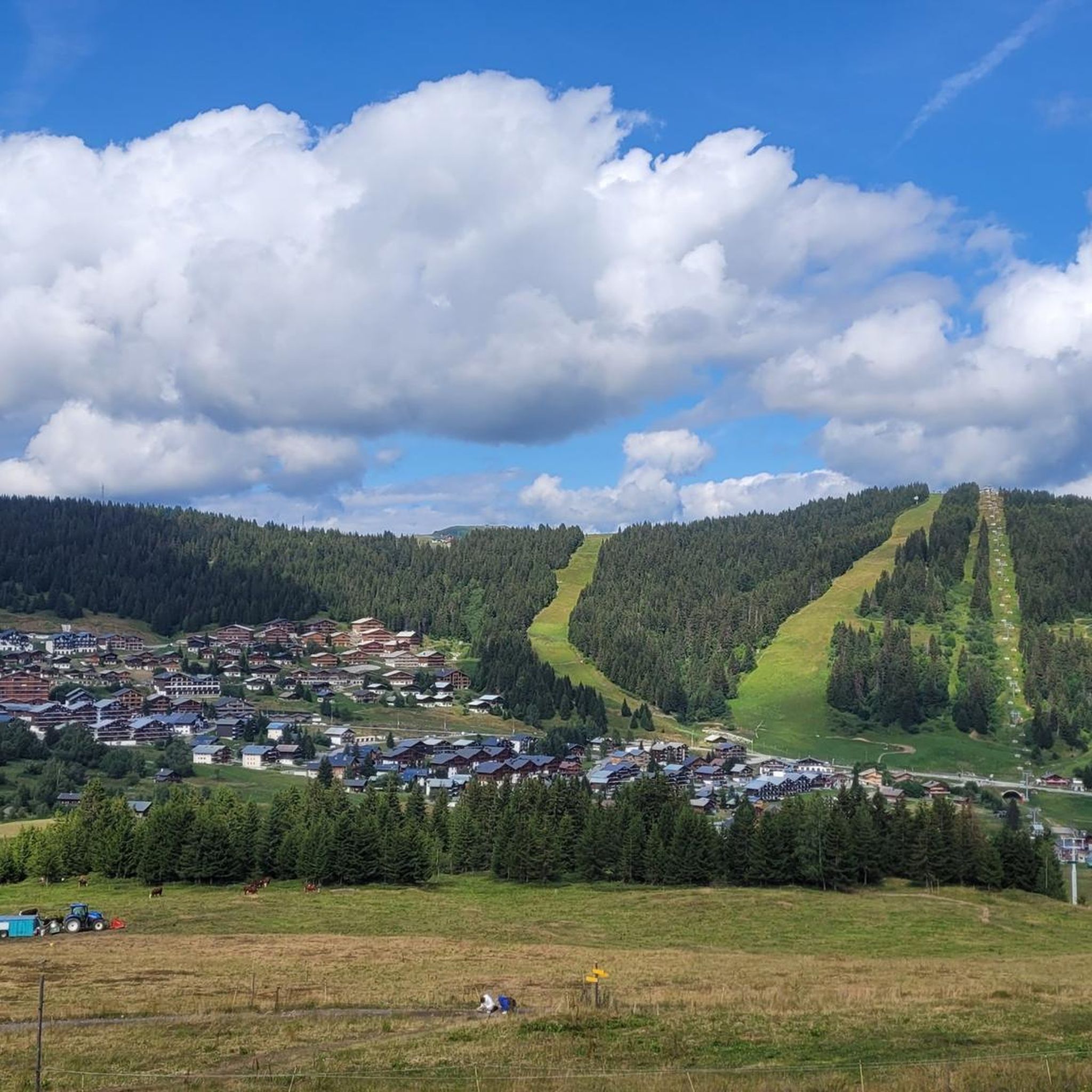
Villard-Sur-Doron周辺のグラベルサイクリングは、ボーフォール山塊内の多様な地形を提供し、挑戦的な峠、静かな谷、広大な高山の牧草地が特徴です。この地域には、舗装路、未舗装区間、森林の小道が混在しており、グラベルサイクリストに様々な路面を提供します。顕著な自然の特徴としては、コル・デ・ゼーゼイやコルマ・ド・ロズランといった高地の峠、氷河の谷、山の頂などが挙げられます。この景観は、様々なスキルレベルに適したルートを提供します。
Villard-Sur-Doron周辺の最高のグラベルバイクコース
- 最も人気のあるグラベルバイクコースは、モン・ビザンヌ発のコル・デ・アラヴィ – コル・デ・ゼーゼイ ループで、距離は70.2 km(43.6マイル)、所要時間は約6時間37分です。この難易度の高いルートは、アルプスの景観を抜ける大幅な標高上昇を伴います。
- 地元のグラベルバイカーに人気のもう一つのコースは、ル・プラネ発のモンブランビュー – コル・デ・アラヴィ ループで、距離は52.7 km(32.7マイル)の難易度の高いコースです。このルートは複数の峠を横切り、広大な景色と変化に富んだ地形を提供します。
- 地元のグラベルバイカーに愛されているのは、ボーフォール発のアレッシュ・スキーリゾート – プラン・ヴィラール ループで、距離は25.9 km(16.1マイル)のコースです。高山の牧草地を通り、ラック・ダムールへと向かい、所要時間は約4時間9分です。
- Villard-Sur-Doron周辺のグラベルサイクリングは、挑戦的な峠、静かな森林の小道、そして高山の牧草地を通るトラックによって特徴づけられます。このネットワークは、中程度から難しいルートまで、様々なレベルのサイクリストに対応するオプションを提供します。
- Villard-Sur-Doronのルートは、komootコミュニティから高く評価されており、20件以上のレビューで平均4.5つ星を獲得しています。200人以上のグラベルバイカーがkomootを利用して、Villard-Sur-Doronの多様な地形を探検しています。
最終更新日: 10月 6, 2026
4.0
(1)
6
ライダー
16.1km
01:36
550m
550m
難しいグラベルライド. 標準以上のフィットネスレベルが必要です。 全般的に舗装された状態です。あらゆるスキルレベルに適しています。
20
ライダー
82.6km
06:50
2,680m
2,670m
難しいグラベルライド. 標準以上のフィットネスレベルが必要です。 全般的に舗装された状態です。あらゆるスキルレベルに適しています。

23
ライダー
難しいグラベルライド. 標準以上のフィットネスレベルが必要です。 全般的に舗装された状態です。あらゆるスキルレベルに適しています。
4.8
(4)
25
ライダー
19.9km
01:31
520m
520m
難しいグラベルライド. 標準以上のフィットネスレベルが必要です。 全般的に舗装された状態です。あらゆるスキルレベルに適しています。
21
ライダー
31.4km
02:29
1,010m
1,000m
難しいグラベルライド. 標準以上のフィットネスレベルが必要です。 全般的に舗装された状態です。あらゆるスキルレベルに適しています。
さらに多くのルートや他のユーザーのおすすめ情報を確認できます。
すでにアカウントをお持ちですか?
おすすめのツアーは他のkomootユーザーが実際に経験した何千ものアクティビティに基づいています。
無料アカウントで今日から始めよう
次の冒険が待っています。

コミュニティからのヒント


平均9%超の区間が複数キロ続く、非常に厳しい登りです。登るにつれて、谷の景色は素晴らしいです。
1
0

Hauteluceにある見ごたえのある教会。
2
0
ヴィラール=シュル=ドロンでのの人気観光スポット

komootモバイルアプリでインスピレーションを得よう


さらに探索
他の地域の最高のグラベルライドを見てみましょう。
