カールストのおすすめウォーキング&ハイキングルート
4.3
(889)
4,166
ハイカー
152
ハイキング
カールスト 周辺でおすすめのハイキングやウォーキングを楽しんでいただけるように、このエリアの小径やルートを集めたkomootコレクション全体を見直しました。 以下で各ルートの詳細をご覧になり、カールスト周辺の大自然を満喫する際の参考にしてください。
最終更新日: 10月 8, 2026
4.6
(29)
205
ハイカー
3.96km
01:00
10m
10m
初級者向けハイキング. あらゆるフィットネスレベルに適しています。 進みやすいルートです。あらゆるスキルレベルに適しています。
4.6
(24)
118
ハイカー
5.09km
01:18
20m
20m
初級者向けハイキング. あらゆるフィットネスレベルに適しています。 進みやすいルートです。あらゆるスキルレベルに適しています。

4.4
(12)
57
ハイカー
3.31km
00:51
10m
10m
初級者向けハイキング. あらゆるフィットネスレベルに適しています。 進みやすいルートです。あらゆるスキルレベルに適しています。
4.3
(20)
82
ハイカー
10.1km
02:34
30m
30m
中程度のハイキング. ある程度のフィットネスレベルが必要です。 進みやすいルートです。あらゆるスキルレベルに適しています。
4.5
(41)
223
ハイカー
6.71km
01:42
20m
10m
初級者向けハイキング. あらゆるフィットネスレベルに適しています。 進みやすいルートです。あらゆるスキルレベルに適しています。
さらに多くのルートや他のユーザーのおすすめ情報を確認できます。
すでにアカウントをお持ちですか?
おすすめのツアーは他のkomootユーザーが実際に経験した何千ものアクティビティに基づいています。
無料アカウントで今日から始めよう
次の冒険が待っています。
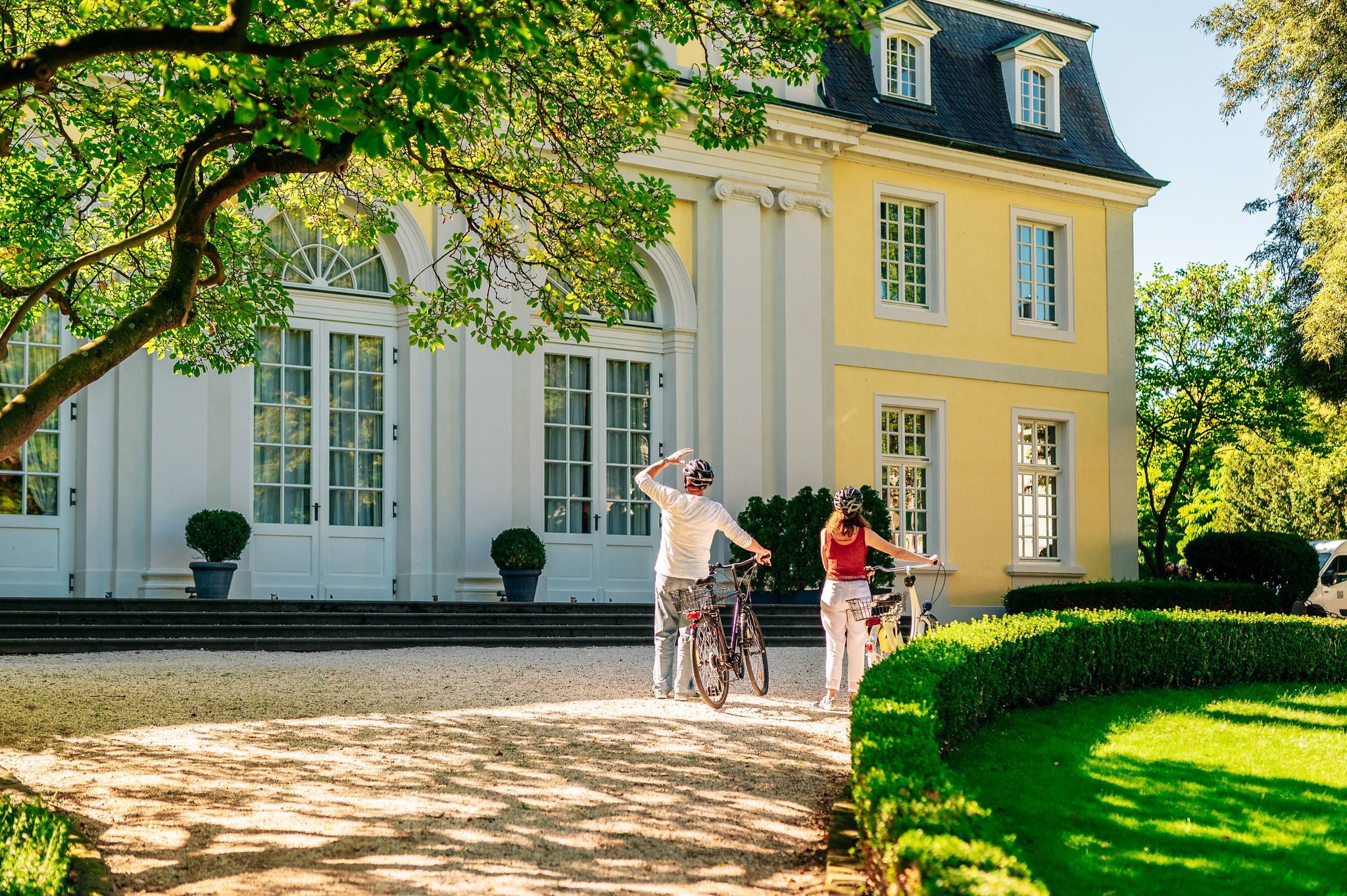
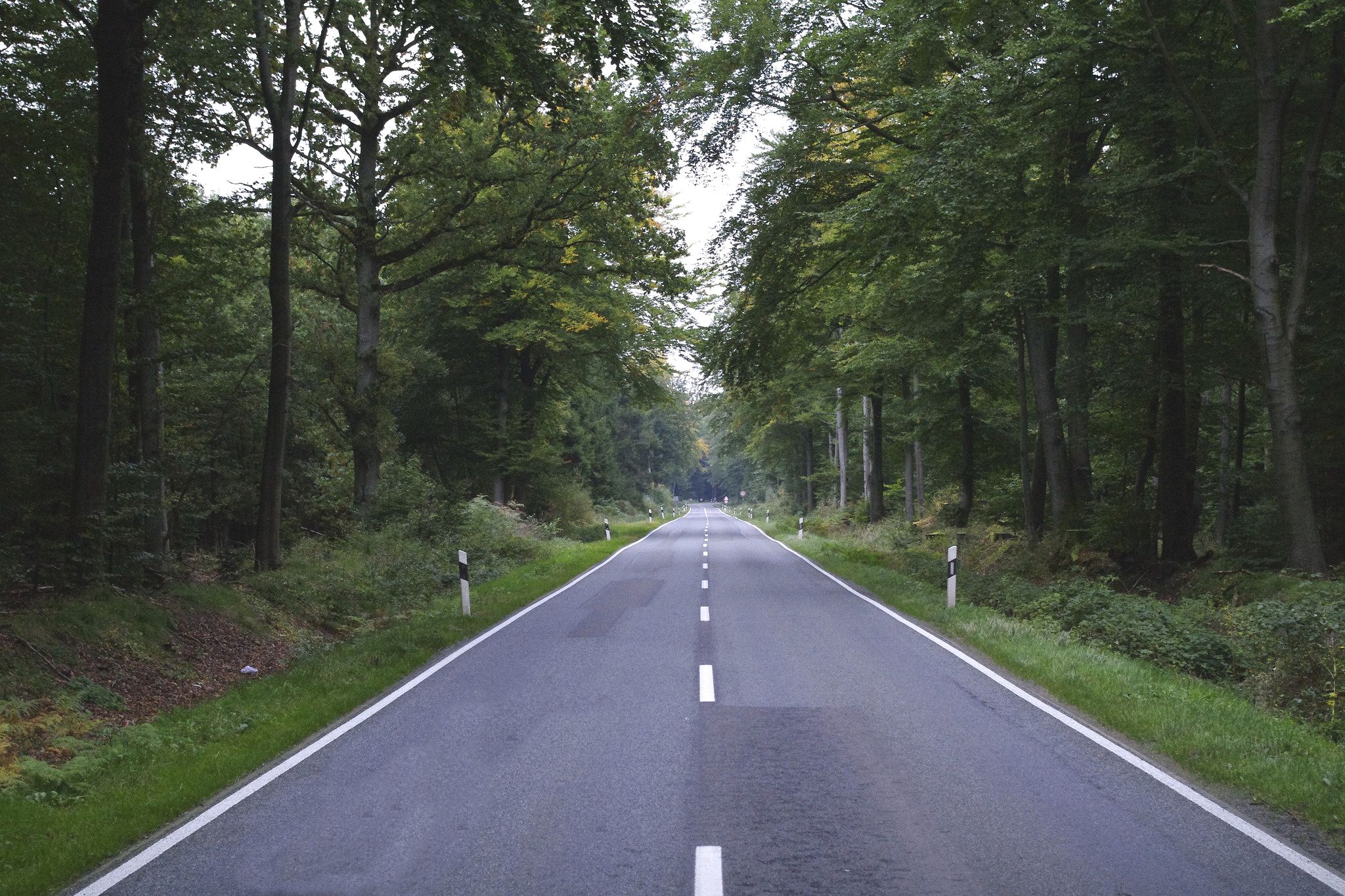
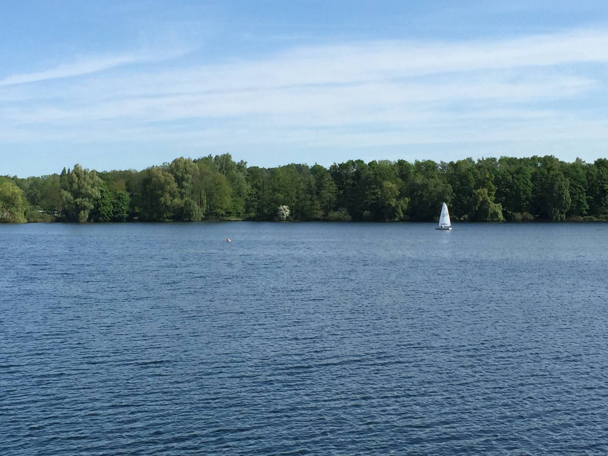
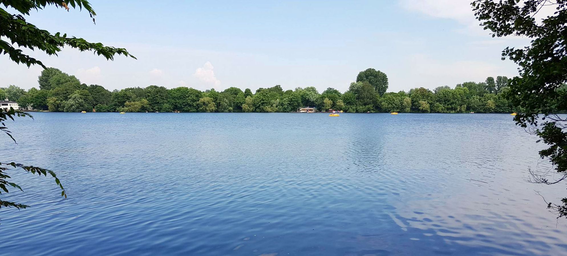
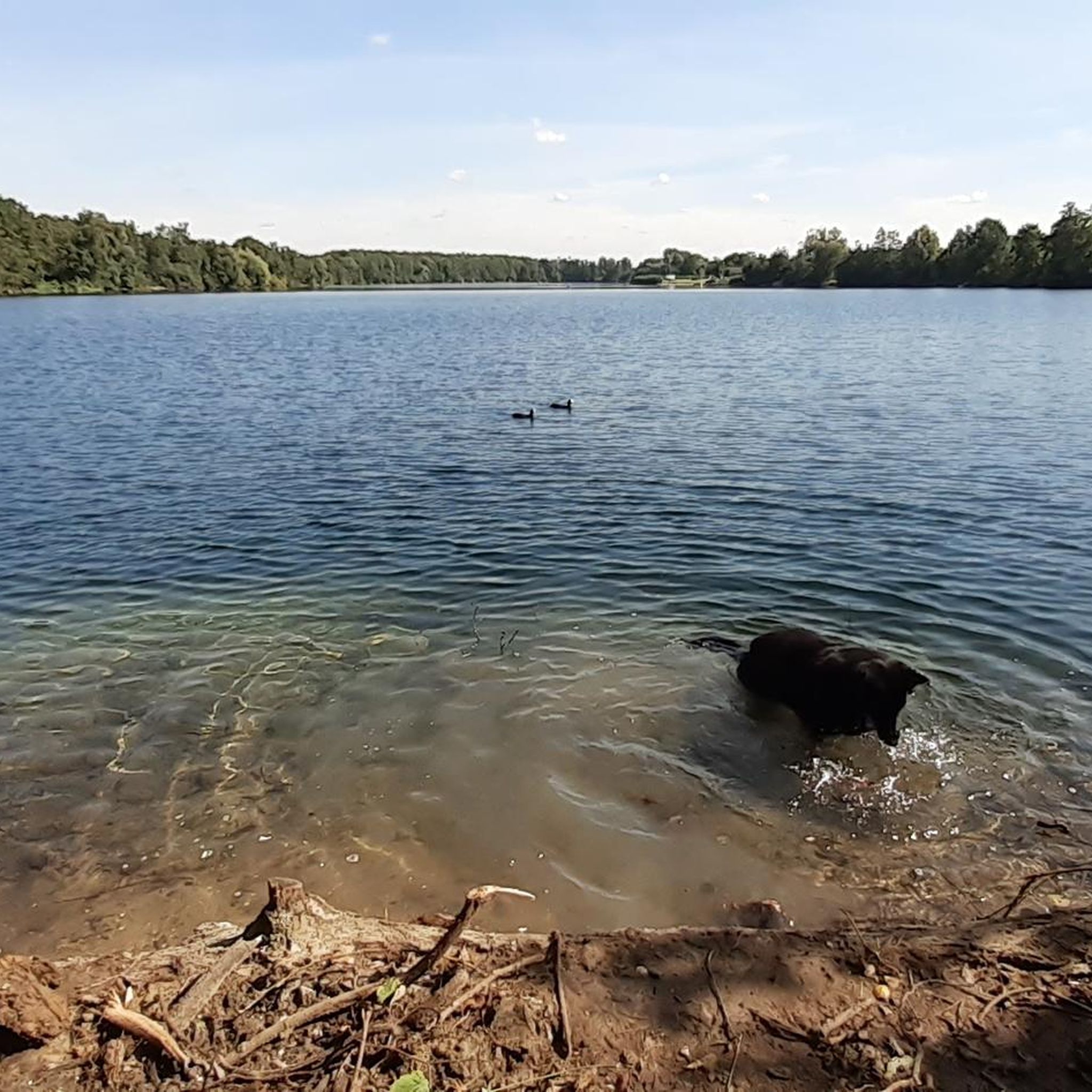
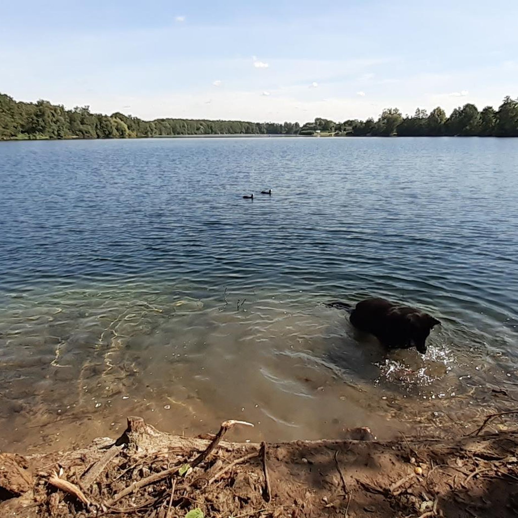
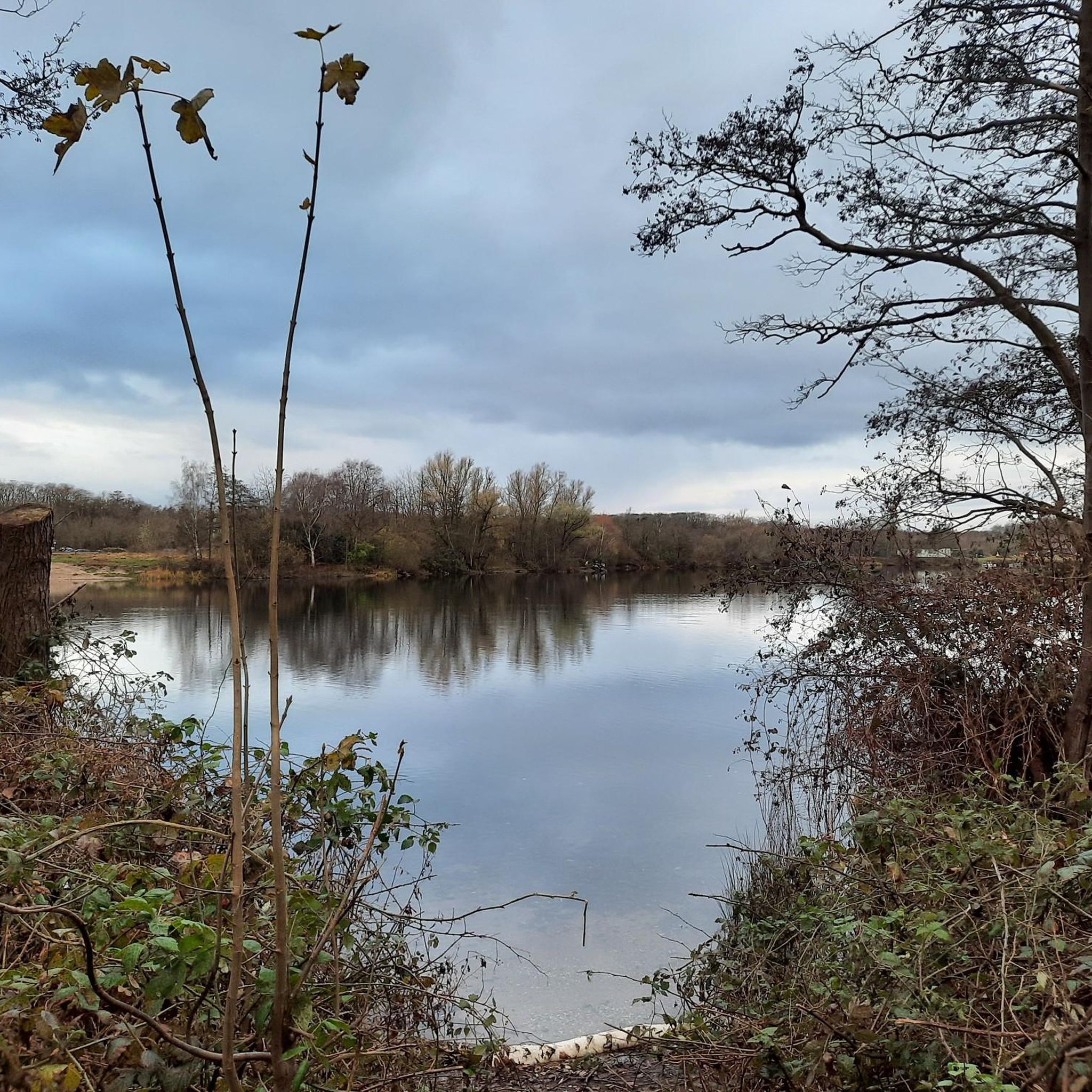
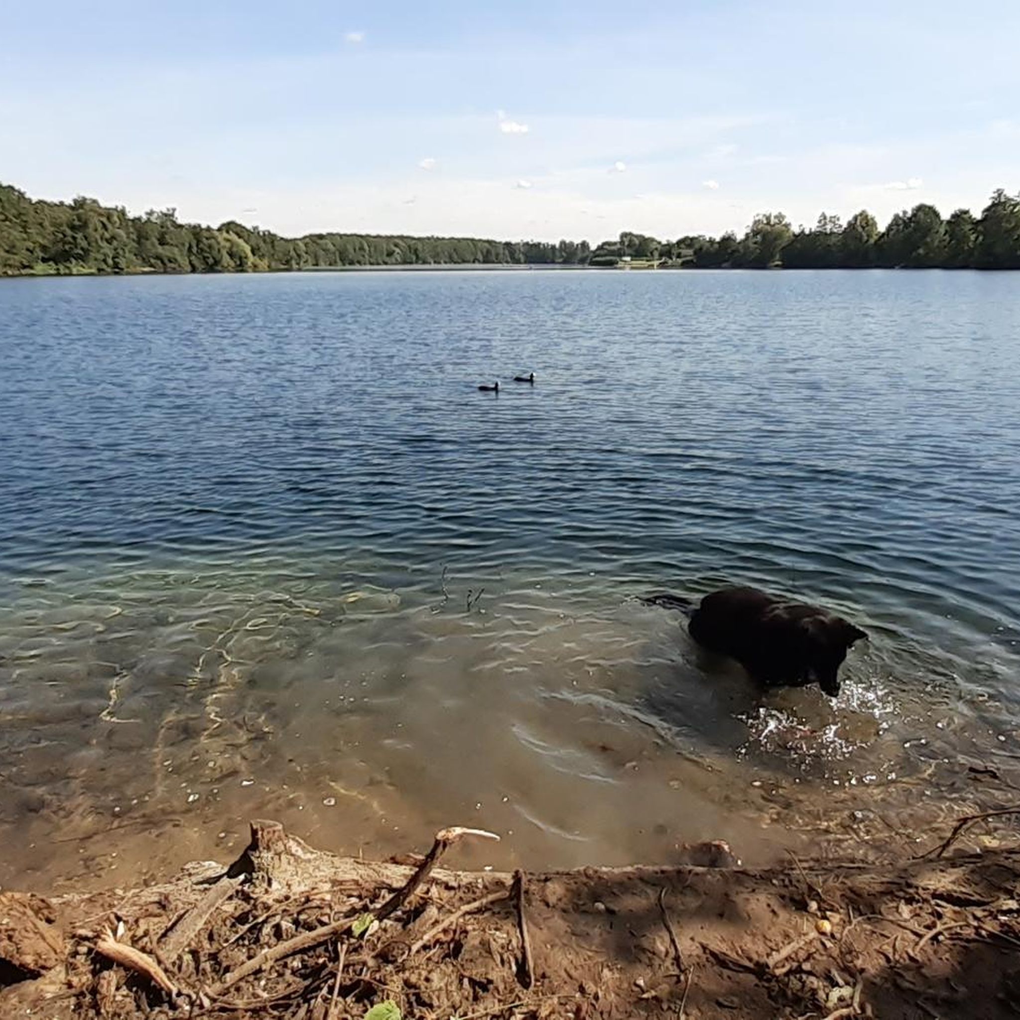
カールストでのの他の冒険


コミュニティからのヒント


Farmer Berrisch - a great farm shop and a good starting point for a beautiful hike through the Meerbusch forest
0
0

great area 👀Tipptop we recommend 👊 will come again no question
0
0

Kaarster See station is one of five rail stops in Kaarst and a stop on the Rhine-Ruhr S-Bahn. It is located on the Neuss-Viersen railway line and is the western terminus of line S 28. It is named after Lake Kaarster. The station was opened in 1999 on the Neuss-Viersen railway line to serve the western part of Kaarst. Since then it has served as the start/end point of the S 28, which was newly created in the same year. It is also the terminus at the western end of the part of the railway line that is in operation. Deutsche Bahn wanted to close the railway line completely in the 1990s, but sold it to Regiobahn GmbH, which took it over and renovated it in 1998. The station is located around 900 meters east of Lake Kaarster and at the westernmost point of the populated Kaarst urban area, as well as immediately south of the Nordkanal and Neersener Straße. The Kaarster See hiking car park is 1000 meters away and the Kaarster See sports center, which is not directly on the shore, is 750 meters from the S-Bahn station. (...) On the other side of Neersener Straße there is a bus stop, a P+R car park and bicycle parking spaces. Access to the platform is via ramps and is therefore barrier-free. The station is now the western starting point of line S 28 of the Rhine-Ruhr S-Bahn. It is operated by Regiobahn and runs every 20 minutes Monday to Friday from Kaarster See to Mettmann-Stadtwald via Neuss main station and Düsseldorf main station. Two out of three trips per hour run via Mettmann to Wuppertal main station. On weekends and public holidays, a 30-minute interval is offered along the entire route. The station is also the starting point for two regional bus lines from neighboring Willich and a regional bus line to Kaarst, Neuss-Neusserfurth and Düsseldorf-Oberkassel. Source and link to the full article: https://de.wikipedia.org/wiki/Bahnhof_Kaarster_See
0
0
Group of figures by WILHELM SCHIEFER In autumn 2021, the sculpture ensemble "Doorkeeper" by Wilhelm Schiefer was erected in the Vorster Wald and inaugurated in spring 2022. It is a group of four identical wooden figures that are of different heights (340 cm, 280 cm, 230 cm, 180 cm) and are aligned in a longitudinal axis, staggered from large to small. The group of figures was created in 1989 and exhibited in the same year at the Great International Music Fair in Moscow's Olympic Stadium. In the following years, the "Doorkeepers" were on display in the park of the Düsseldorf Malkasten and in Selikumer Park in Neuss. After that, the wooden sculptures were only erected as individual figures in different locations. The largest of the four figures was most recently at home in the Tuppenhof. (...) The title "Doorkeeper" is borrowed from the story "Before the Law" by Franz Kafka. In it, the author describes a man who asks to enter the "law". But a doorkeeper refuses him entry. The man keeps asking for entry, all his life. He is never granted entry, and he will never dare to walk through the entrance despite the ban, because the doorkeeper prophesies to him: "I am powerful. And I am only the lowest doorkeeper. But there are doorkeepers from room to room, each more powerful than the other." With Wilhelm Schiefer's "doorkeepers", which stand one behind the other in an axis, the viewer can decide for himself whether to pass the first "doorkeeper" to stand in front of the next one. The group of figures is a gift from the sculptor Wilhelm Schiefer to our art association. The association is responsible for the new production of the wooden figures, their installation and future maintenance with the help of private donors. The city also contributed generously to the financing. But significantly more than half of the financing volume was raised through donations from members and the association's assets. Source and link to the full article: https://kunstverein-nordkanal.de/tuerhueter/
0
0

a beautiful piece of nature where you can go hiking and relax
1
0
A beautiful piece of nature where you can take a walk and unwind.
1
0
カールストでのの人気観光スポット

komootモバイルアプリでインスピレーションを得よう


さらに探索
他の地域の最高のハイキングを見てみましょう。
