フランケンブリックでののおすすめグラベルライド
4.5
(10)
56
ライダー
19
ライド
komootがまとめたフランケンブリックでののおすすめグラベルライドを参考にして、グラベルライドの魅力を最大限に楽しみましょう。難易度の高い登り坂や絶景のトレイルなど、あらゆるルートの中から厳選したフランケンブリックでののグラベルライドをご覧ください。
最終更新日: 10月 19, 2026
5.0
(1)
10
ライダー
18.4km
01:08
180m
180m
中程度のグラベルライド. ある程度のフィットネスレベルが必要です。 ほとんどが舗装路です。
3.7
(3)
17
ライダー
37.3km
02:26
440m
440m
中程度のグラベルライド. ある程度のフィットネスレベルが必要です。 ほとんどが舗装路です。

5.0
(2)
11
ライダー
32.9km
02:07
530m
530m
難しいグラベルライド. 標準以上のフィットネスレベルが必要です。 ほとんどが舗装路です。
4.0
(3)
6
ライダー
37.7km
02:20
420m
420m
中程度のグラベルライド. ある程度のフィットネスレベルが必要です。 ほとんどが舗装路です。
4
ライダー
28.3km
01:51
470m
470m
難しいグラベルライド. 標準以上のフィットネスレベルが必要です。 ほとんどが舗装路です。
さらに多くのルートや他のユーザーのおすすめ情報を確認できます。
すでにアカウントをお持ちですか?
おすすめのツアーは他のkomootユーザーが実際に経験した何千ものアクティビティに基づいています。
無料アカウントで今日から始めよう
次の冒険が待っています。

コミュニティからのヒント


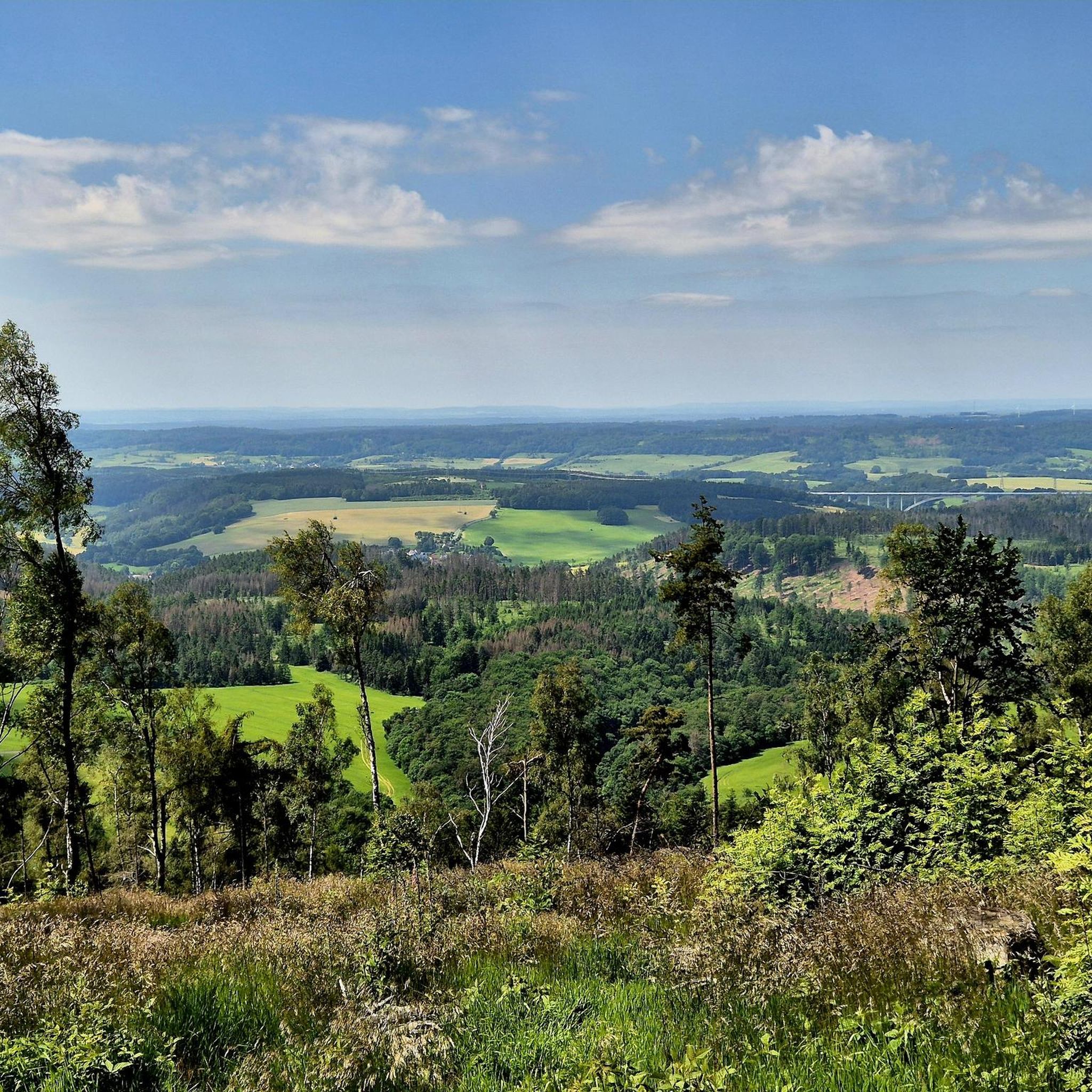
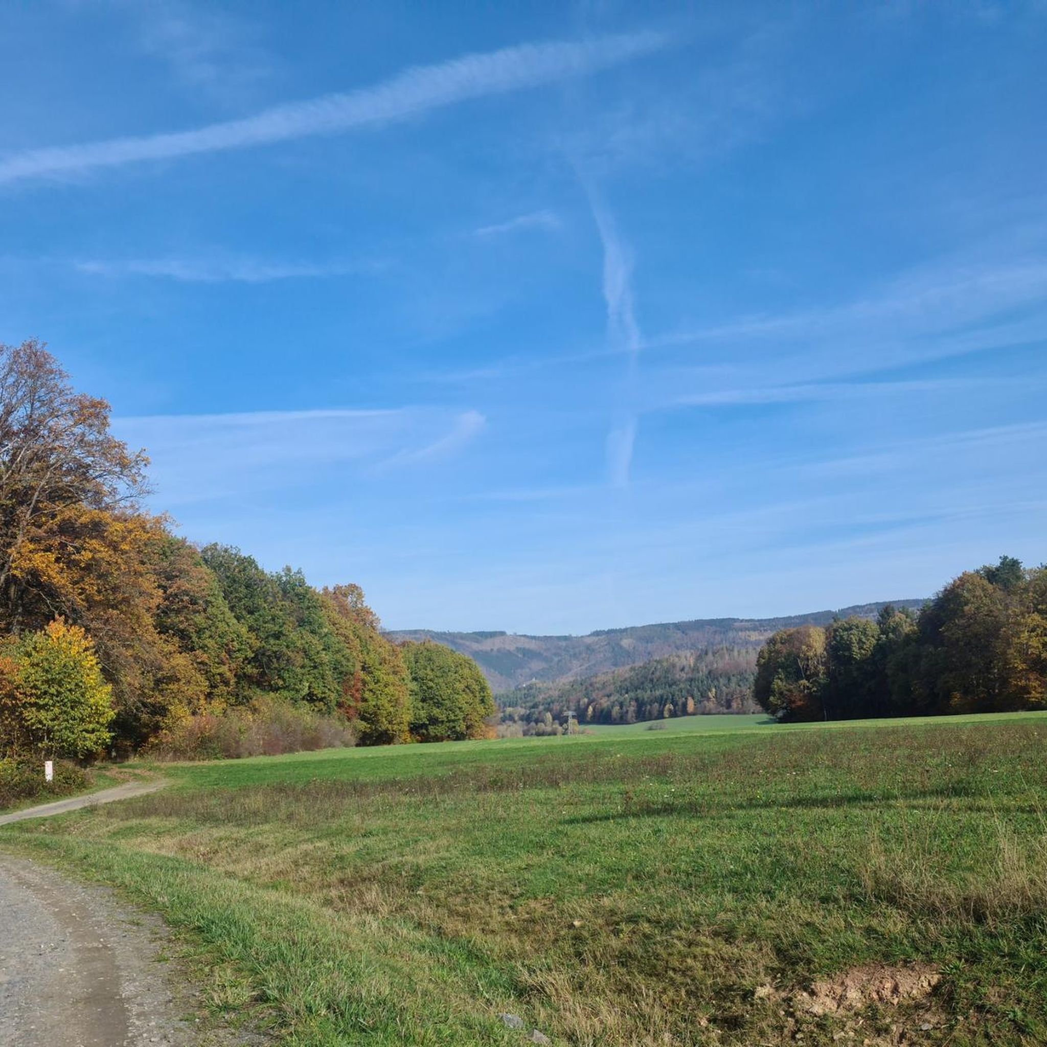
古いFellbergbaudeは、より良い時代を見てきました。目に見えて衰退しています。その前には軽食スタンドが営業しており、周囲は魅力的で整頓されており、電力供給のあるキャンプ場も同様です。今日ではこれ以上のものを期待できないでしょう。「Ösiland」(オーストリア)で、これほど歴史のある場所を見たことがありません。🤷♂️ Großhütte Fellberg - 海抜762メートル 1902年に工業用チョーク製造のための最初の大きな小屋として建てられました。チョークをシュタイナッハに運ぶために道が作られましたが、これらは現在、森林道やハイキングコース、冬にはスキーコースとして利用されています。チョーク製造が終了した後、建物はホリデーキャンプやレストランとして利用されました。
1
0

Friedrichshöhe is situated on a high plateau in the Thuringian Slate Mountains, north of Eisfeld and southeast of Masserberg on the Rennsteig hiking trail. The village lies amidst mountain meadows, surrounded by forests at an altitude of 800 meters above sea level. It is accessible via a road leading to the B281 federal highway.
11
0
Goldbergsee, a 145-hectare reservoir located between the districts of Neuses and Beiersdorf, is one of Coburg's most popular recreational areas. Originally conceived as a flood control basin, the lake has long since become a favorite destination for walks, hikes, bike rides, and relaxing breaks in nature. In the idyllic surroundings of Coburg, you'll enjoy beautiful views of the majestic Callenberg Castle, perched high on a hill overlooking the lake, and the Glender Wiesen bird sanctuary. Also worth a visit is the Rückerthaus, where the famous poet Friedrich Rückert once spent many happy hours. A highlight for hiking enthusiasts is the 14-kilometer "Coburg Sea" circular trail, which runs along Goldbergsee and offers breathtaking natural scenery. Source: https://www.coburg-rennsteig.de/poi/goldbergsee
16
0

For centuries, Callenberg Castle has been owned and used by the ducal family of Saxe-Coburg and Gotha. For the ducal family, it remains a link between the past and the present. The castle is open from April to October: Thursday to Sunday from 11 a.m. to 5 p.m.; in November and December: Thursday to Sunday from 1 p.m. to 4 p.m. Admission is €8.
14
1

From the Heidehütte on the Rennsteig, past the mountain hut to the Eisfelder Ausspanne, it's rolling. 🚵👍😉 Great!
3
0

The bridge over the Hallwasser drain is quite narrow and at handlebar height;
1
0

The town hall was built in 1928 and features a 40-meter-high clock tower. It is the seat of the city administration.
2
1

komootモバイルアプリでインスピレーションを得よう


さらに探索
他の地域の最高のグラベルライドを見てみましょう。
