ヴァルレル周辺のアトラクション&必見スポット - トップ20
ヴァルレルには必見のスポットがたくさんあります。ハイキング愛好家やサイクリング愛好家の方は、ぜひヴァルレルを探索してこのエリアにある20
の隠れたスポットを訪れてみてください。このエリアの必見スポットを確認し、次の冒険に出かける計画を立てましょう。
最終更新日: 10月 9, 2026
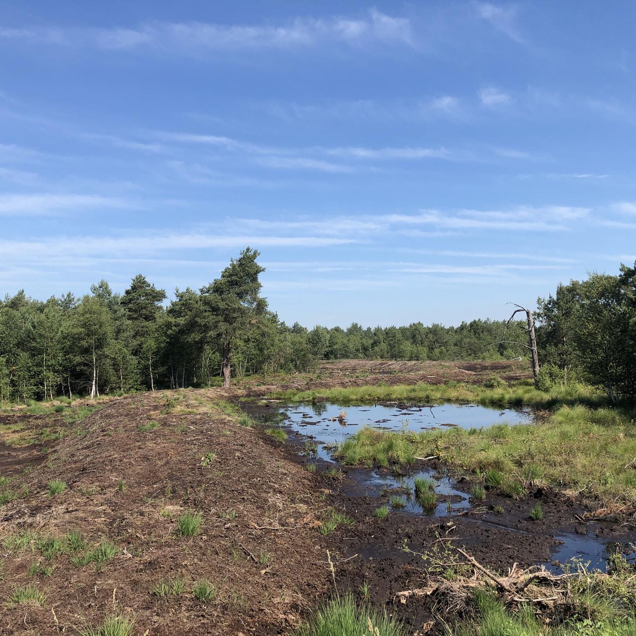
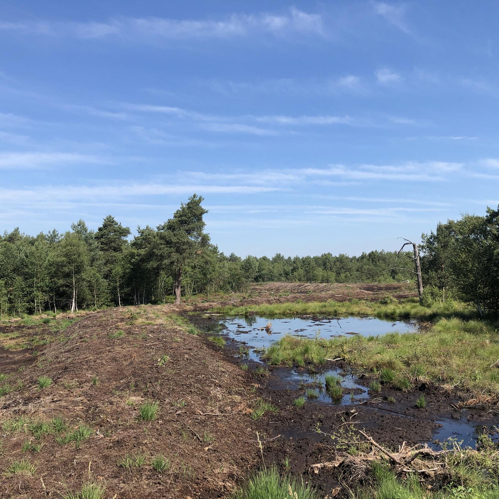
キルヒドルファー・ハイデ(クッペンドルファー・ハイデ)
ハイライト • 自然
翻訳者 Google •
役立つ情報 は

ノイシュテーダー・ムーアのMoorpadd木道
ハイライト (セグメント) • トレイル
翻訳者 Google •
役立つ情報 は

今すぐサインアップして、こんな場所を発見しよう
最高のシングルトラック、ピーク、その他のエキサイティングなアウトドアスポットのおすすめを受け取ろう。
ニックベルクのフランツォーゼンシュタイン
ハイライト • 自然記念物
翻訳者 Google •
役立つ情報 は

シュトレーン動物公園
ハイライト • 構造物
翻訳者 Google •
役立つ情報 は

Uchter Moor 観察塔
ハイライト • 展望台
翻訳者 Google •
役立つ情報 は

無料でサインアップして、さらに多くの観光スポットを発見しましょう ヴァルレルでの。
すでにアカウントをお持ちですか?
無料アカウントで今日から始めよう
次の冒険が待っています。
コミュニティからのヒント


Nice place to make a stopover 👍
1
0

A "highlight" of the Kirchdorfer-/Kuppendorfer Heide-Rund; you have to do it ;-).
1
0

The tower with its three viewing heights is a great highlight in itself. The view from the top floor is very impressive
2
0

Local recreation area with Franzosenstein – 86 m above sea level.
1
0
600 animal species from five continents in natural surroundings, catering, etc. Europe's largest private Arabian stud farm. Open daily.
1
0

Nice covered rest area on the heath. Ideal for a break, you can sometimes watch deer grazing. There is also a hiking trail that invites you to take a short walk.
1
0
Little info from the internet: The Frenchman's Stone Today it is still called “Franzosenstein”, the one meter high sandstone column on the highest point in the community of Kirchdorf. This relic from the past always puzzles visitors. The following is recorded in the Kirchdorf community archive: Kirchdorf, which belonged to the Uchte district under Hessian administration, came under French rule in 1803. Under the direction of Colonel Epailly, survey officers erected a twelve meter high tower. At this point a first order triangle network (“Canevas die Triangles du Ier ordere executes par M. Epailly”). From here the following main points were recorded: the church towers of Twistringen and Asendorf, the signal towers on the Mordkulenberg west of the Dümmer in the Dammer Mountains (141 m above sea level), on the Hüttenberg in Grinderwald (101 m above sea level), a mountain near Loccum and the Knickberg (86 m above sea level). At the same time, French observers were able to monitor events in all directions. In 1813, after the French era, Kirchdorf fell back to Hesse and the twelve meter high tower was destroyed. In 1814, Prince Regent George of Hanover and England elevated his electorate to a kingdom, including the Hessian territories. In 1816, King George IV ordered the extension of triangulation to the entire Kingdom of Hanover. Under the direction of C. F. Gauß, the survey work also began on the Knickberg, for which he had a stone built with a pedestal and a slab on top, which fell victim to deliberate destruction. As a replacement, a one meter high sandstone pillar was erected with the carved inscription “Königl. Hann. Country. Surveying.”. This stone still stands on the Knickberg today, which is incorrectly referred to as the “Franzosenstein”. Perhaps arbitrarily by the Prussians who annexed Hanover in 1866 after the Battle of Langensalza. In 1886/87, as part of the Prussian survey, Prussian surveying officers built a wooden tower on a stone foundation at this point, which was then called the French Tower. After about 25 years, this too disappeared. In 1919 the decree came that no more towers should be erected. Today's visitor is no longer able to look out from all sides of the Knickberg. He is in the middle of the forest, where a bench invites him to rest. Not far from the supposed “French stone” there has been an embedded square stone with a cross for years, the so-called “trigonometric point”, which serves as a survey point for our land registry office for the height of the Knickberg (86 m above sea level).
1
0
ヴァルレルでのの人気観光スポット

komootモバイルアプリでインスピレーションを得よう


さらに探索
まだ探しているハイライトが見つかりませんか?他の地域のトップアトラクションのガイドを見てみましょう:
