Περισυνάκη - Αγριοκεφάλα - Μανίκα Δήμου Σφακίωνのおすすめライド
5.0
(11)
217
ライダー
8
ライド
Περισυνάκη - Αγριοκεφάλα - Μανίκα Δήμου Σφακίωνでおすすめのロードバイクルートをお探しですか?ハニアが誇るこの美しい自然公園周辺で楽しめるライドを集めたkomootコレクションを参考にしてください。次のアドベンチャーでは、Περισυνάκη - Αγριοκεφάλα - Μανίκα Δήμου Σφακίωνの魅力をもっと発見しましょう。
最終更新日: 10月 7, 2026
5.0
(3)
50
ライダー
48.0km
03:02
1,380m
1,380m
難しいロードライド. 標準以上のフィットネスレベルが必要です。 全般的に舗装状態が良好で走行しやすい道です。
5.0
(2)
46
ライダー
54.9km
03:00
980m
980m
難しいロードライド. 標準以上のフィットネスレベルが必要です。 ツアーの一部に、未舗装のため走行が難しい箇所があるかもしれません。

7
ライダー
26.5km
01:46
830m
830m
中程度のロードライド. ある程度のフィットネスレベルが必要です。 全般的に舗装状態が良好で走行しやすい道です。
5.0
(1)
12
ライダー
21.5km
01:13
390m
390m
中程度のロードライド. ある程度のフィットネスレベルが必要です。 全般的に舗装状態が良好で走行しやすい道です。
34
ライダー
95.2km
05:30
2,220m
2,220m
難しいロードライド. 標準以上のフィットネスレベルが必要です。 全般的に舗装状態が良好で走行しやすい道です。
さらに多くのルートや他のユーザーのおすすめ情報を確認できます。
すでにアカウントをお持ちですか?
おすすめのツアーは他のkomootユーザーが実際に経験した何千ものアクティビティに基づいています。
無料アカウントで今日から始めよう
次の冒険が待っています。
コミュニティからのヒント


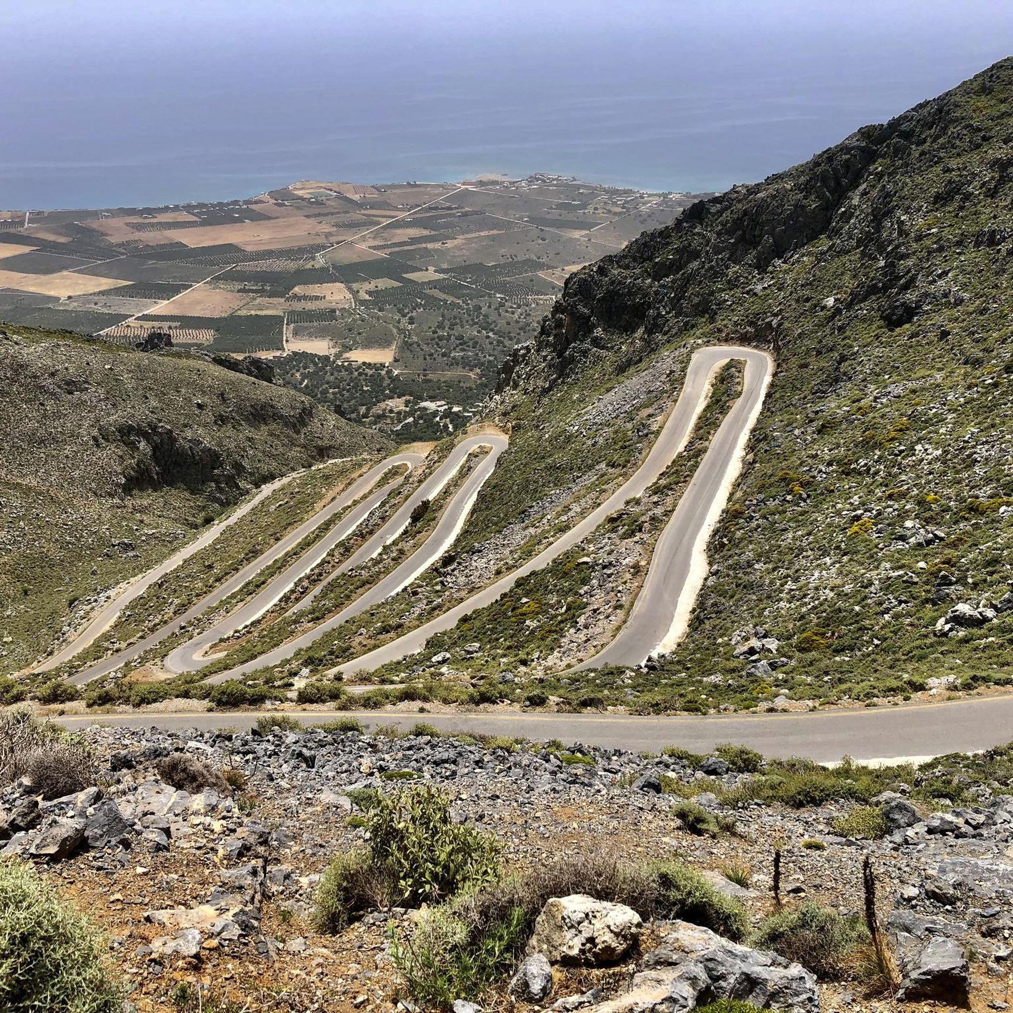
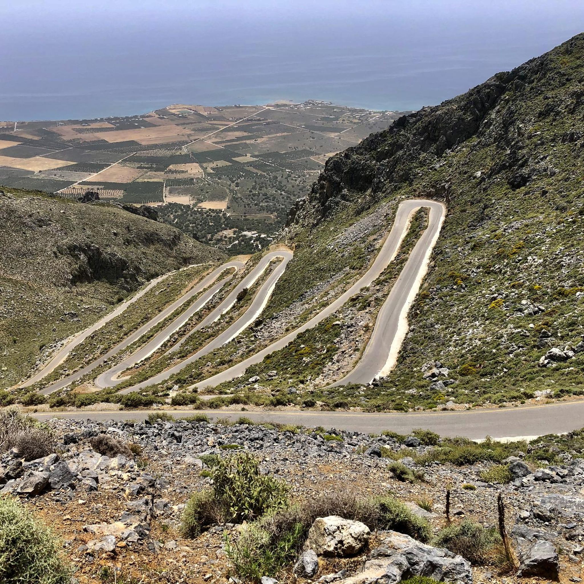
The road is beautifully laid out, has wonderful views, and is not very busy, but with gradients of up to 19%, it's not for everyone ;-)
1
0

Since the operator is no longer on site, both the opening hours and the range of services offered are now severely limited.
1
0

Quäldich Pass Description: Southern Ascent from Kapsodasos 6.7 km | 643 m elevation gain | 9.6% (~10.4%) The southern ascent begins in the village of Kapsodasos at an altitude of approximately 100 m. The turnoff to Kallikratis is signposted (as of 2018 on a very weathered sign). The route initially heads north for a little over half a kilometer before a veritable hairpin bend festival unfolds over the next five kilometers. The road winds its way up a barren rocky slope via a total of 27 hairpin bends. There is virtually no vegetation along the route, which has its own charm and offers consistently wonderful views, especially of the hairpin bends already conquered and the Libyan Sea shimmering in the distance. The gradient is inconsistent over these first 5.5 kilometers, averaging just over 10%, but quite steep. In addition to battling the steep incline, the author also encountered a rather strong headwind on the ascent, which swept down the slope and added to the effort. After completing the switchbacks, the worst is over, and the route continues relatively flat for half a kilometer northwards before the remaining 700 meters to the highest point of the route, where the final meters of elevation gain must be conquered at a manageable gradient. Once at the top, the route descends for about a kilometer, followed by a gentle climb of almost three kilometers towards Kallikrátis. From there, however, more elevation gain awaits, as one must either tackle the easy western ascent to the Bourolos Pass or the 560-meter climb of the eastern ascent to the Asfendos Pass. Northern Ascent 1 km | 64 m elevation gain | 6.4% (~8.8%)
1
0
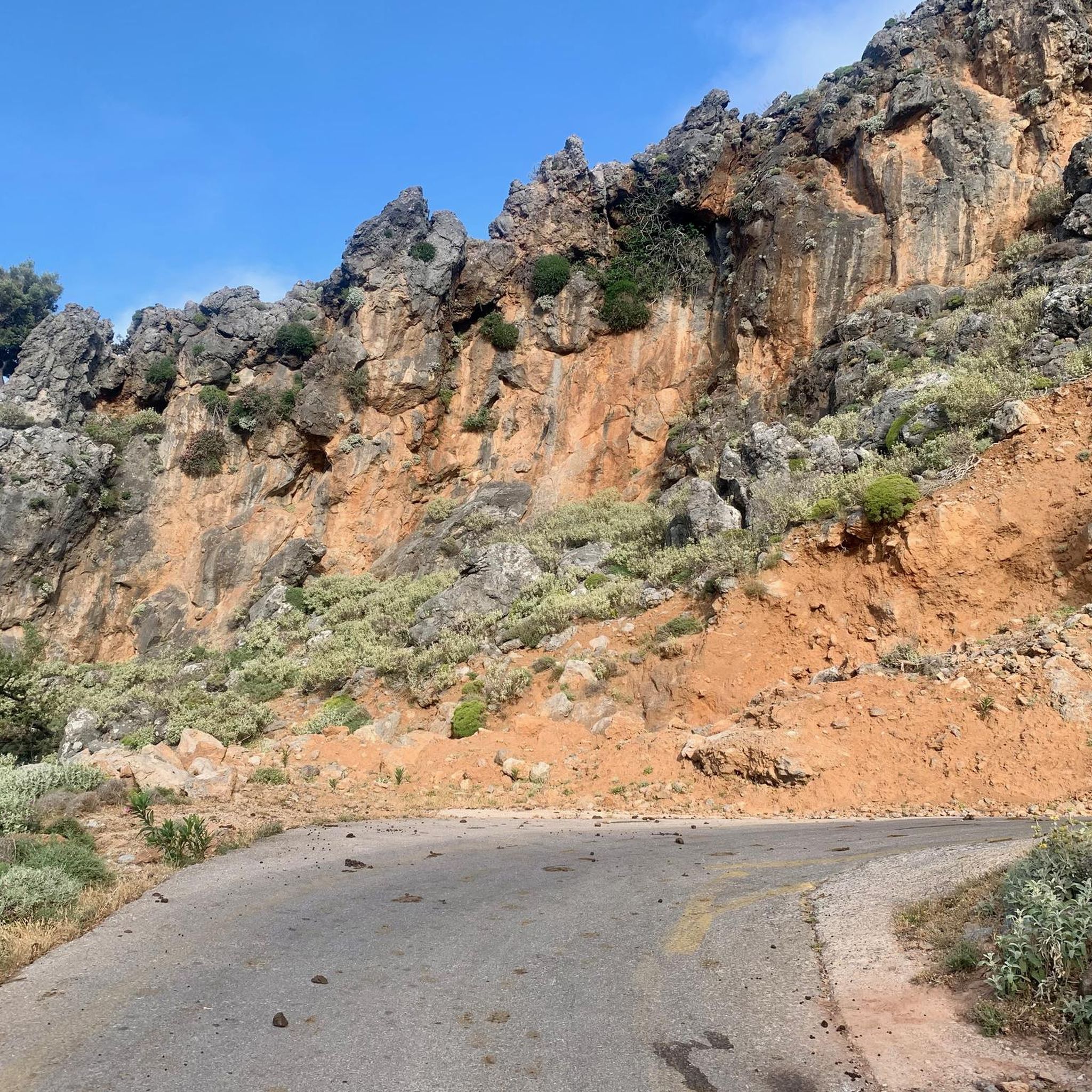
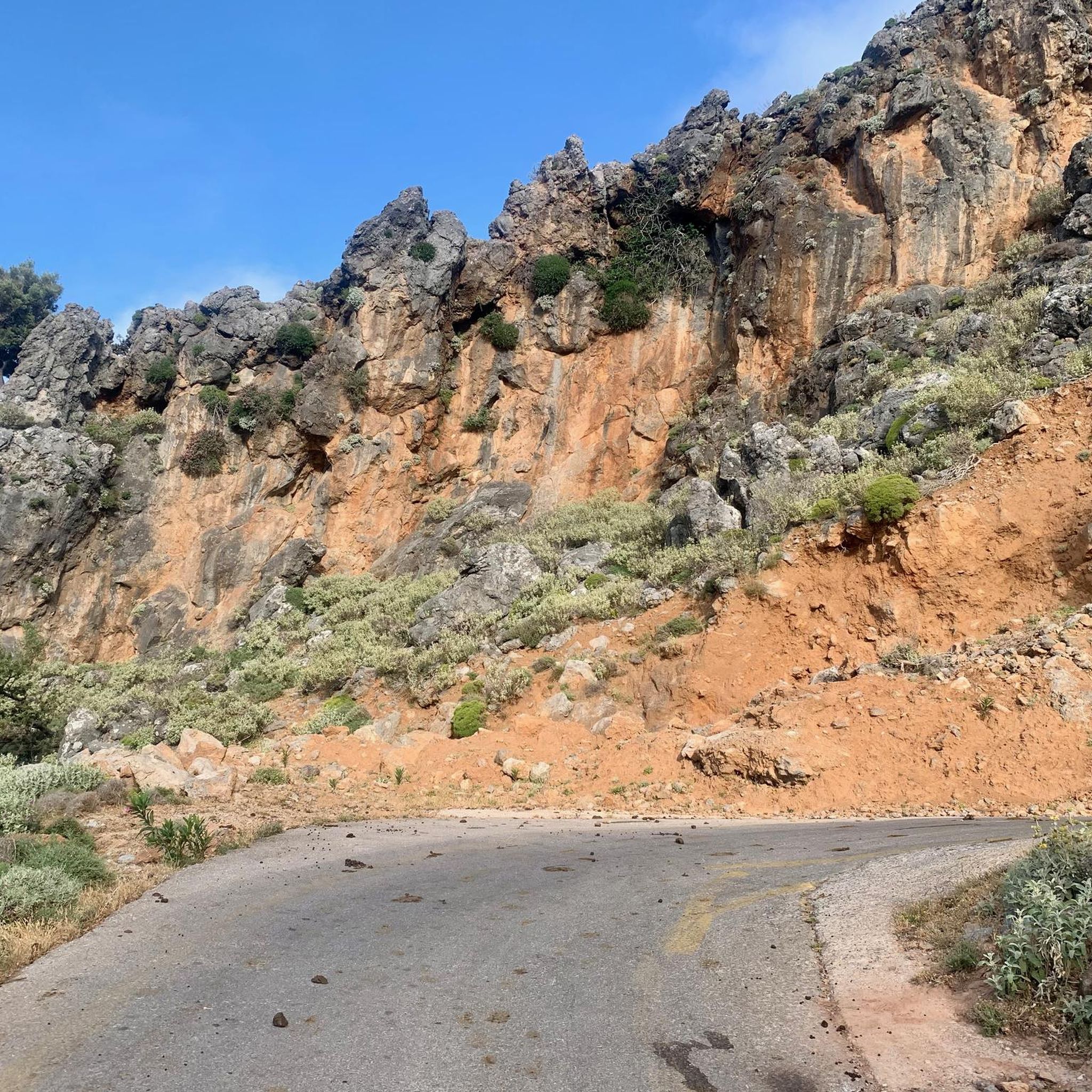
Quäldich Pass Description: The Kallikratis-Kapsodasos Pass lies not far from the south coast of Crete, between Kapsodasos and Kallikratis. As is often the case in Crete, there is unfortunately no pass sign and therefore no official name for the crossing. It is also not marked on local maps. The owner of Olympic Bike in Rethymnon informed the author that the crossing is known locally as the Kapsodasos Pass, or simply Kapsodasos Pass, based on the starting point of the southern ascent. Elsewhere, it is referred to as the Kallikratis Climb. We cannot and do not wish to commit to a definitive name. This is not a pass in the conventional sense, as the road does not connect two valleys, but rather leads from the south coast parallel to a gorge, climbing a slope into the island's interior. However, like a pass, it does cross a high point. Consequently, the southern ascent can involve a considerable amount of elevation gain, while the northern ascent involves only a slight difference in altitude. As of 2018, the entire route is in excellent condition and has a much better road surface than the surrounding roads. Only in the lower section of the southern approach were there occasionally some stones on the road, which only required extra caution on the descent. Furthermore, the road is mostly single-lane, hardly used, and therefore a real pleasure to drive.
1
0
Asfendos Pass Description: The Asfendos Pass lies slightly east of the Lefka Ori (White Mountains) and connects the summit of the Imbros Pass in the west with the village of Kallikratis in the east over a distance of 14.8 kilometers. Those starting on the south coast of Crete and then climbing the Asfendos Pass via the Imbros Pass can cover a total of 1100 meters of elevation gain in one go. The ascent from the east, however, is initially undulating and only begins with a longer climb after the village of Asfendos (municipality of Arkalokefali?). Since this pass, like the Imbros Pass, has no official name, a name is required, and here it is, in reference to the aforementioned village – ta-da! – Asfendos Pass. As of 2018, the road is in quite good condition. Apart from a little vegetation along the eastern approach, the landscape is extremely barren, which has its own unique charm. From the pass summit, there is a beautiful view of the Lefka Ori (White Mountains) massif. QD Editorial Note: From the pass, the road continues higher, a paved track leading to the 1220-meter summit of Akones.
0
0
The name Frangokastello comes from a Venetian castle built in 1371 on a low peninsula, the crenellated outer walls of which still stand today. Above the south gate of the fortress, the coat of arms of the Venetian builders, the Lion of Saint Mark, is still well preserved. Inside the structure, however, only the foundations of the complex are visible. The castle, which was restored again by the Venetians under their commander Nicolo Dona in 1593, was later abandoned. Subsequently, the local inhabitants of Sfakio removed the beams from the towers and rooms.
1
0

A beautiful little town, not overrun by tourists. 🚴🏻♀️
1
1
Περισυνάκη - Αγριοκεφάλα - Μανίκα Δήμου Σφακίωνの人気ルート
Περισυνάκη - Αγριοκεφάλα - Μανίκα Δήμου Σφακίωνの人気観光スポット

komootモバイルアプリでインスピレーションを得よう


さらに探索
他の地域の最高のロードサイクリングルートを見てみましょう。
