ハインフェルスのおすすめウォーキング&ハイキングルート
4.6
(14484)
77,622
ハイカー
20
ハイキング
ハインフェルス 周辺でおすすめのハイキングやウォーキングを楽しんでいただけるように、このエリアの小径やルートを集めたkomootコレクション全体を見直しました。 以下で各ルートの詳細をご覧になり、ハインフェルス周辺の大自然を満喫する際の参考にしてください。
最終更新日: 10月 11, 2026
4.5
(12)
87
ハイカー
8.22km
03:32
720m
720m
中程度のハイキング. ある程度のフィットネスレベルが必要です。 進みやすいルートです。あらゆるスキルレベルに適しています。
3.8
(4)
26
ハイカー
11.8km
04:30
810m
810m
中程度のハイキング. ある程度のフィットネスレベルが必要です。 進みやすいルートです。あらゆるスキルレベルに適しています。

4.8
(4)
18
ハイカー
6.02km
02:02
290m
290m
中程度のハイキング. ある程度のフィットネスレベルが必要です。 進みやすいルートです。あらゆるスキルレベルに適しています。
4.7
(6)
18
ハイカー
13.2km
04:44
810m
810m
中程度のハイキング. ある程度のフィットネスレベルが必要です。 全般的に進みやすいルートです。安定して歩行できる技術が必要です。
5.0
(1)
44
ハイカー
5.75km
01:27
10m
10m
初級者向けハイキング. あらゆるフィットネスレベルに適しています。 進みやすいルートです。あらゆるスキルレベルに適しています。
さらに多くのルートや他のユーザーのおすすめ情報を確認できます。
すでにアカウントをお持ちですか?
おすすめのツアーは他のkomootユーザーが実際に経験した何千ものアクティビティに基づいています。
無料アカウントで今日から始めよう
次の冒険が待っています。
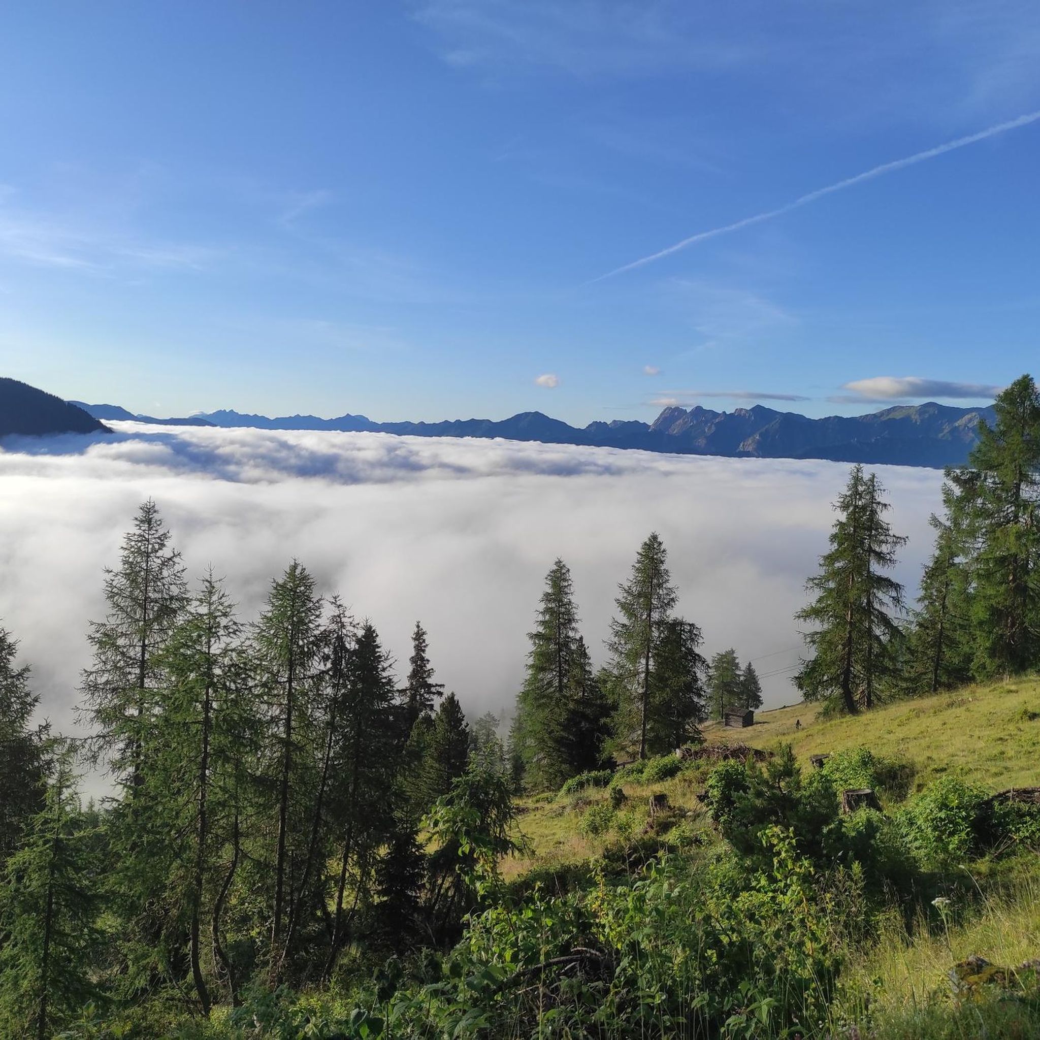
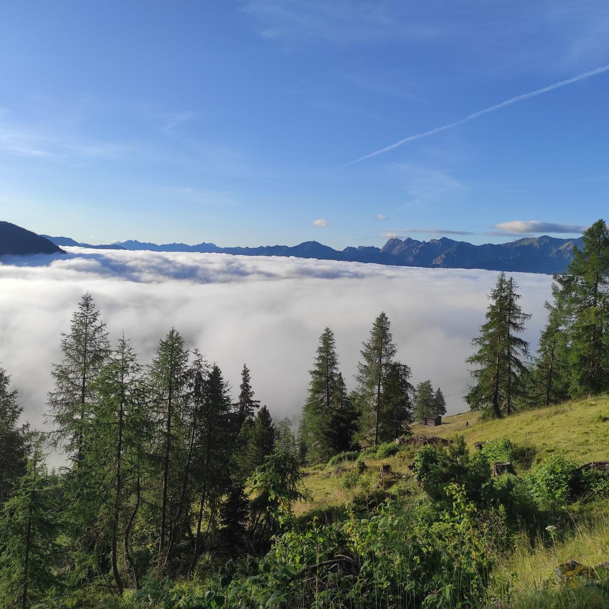

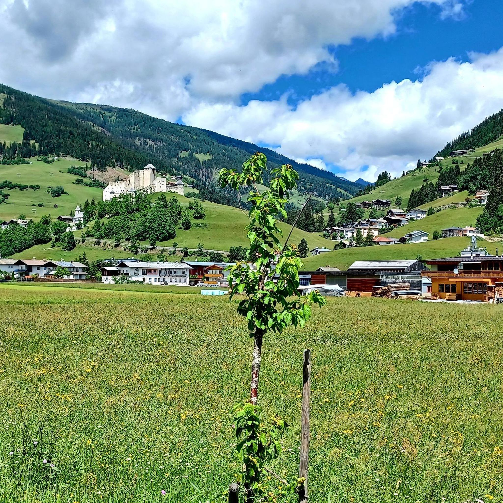
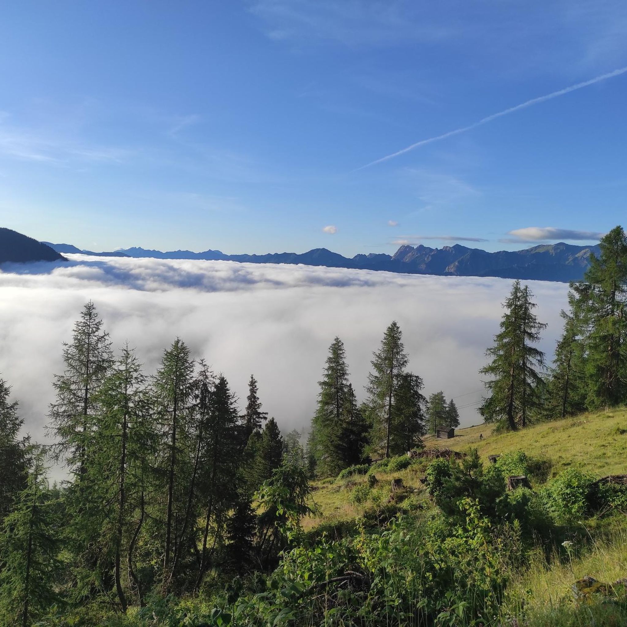

コミュニティからのヒント

Very nice cycle path with a great panorama of the mountains.
0
0

...a great region, not just for mountain biking! 🚵 There are many well-developed bike paths and trails!
3
0
...a great region, not just for mountain biking! 🚵 There are many well-developed bike paths and trails!
3
0
...a great region, not just for mountain biking! 🚵
3
0

The Drava (less commonly Drave; Italian, Slovenian, and Croatian Drava, Hungarian Dráva) is a tributary of the Danube that rises in South Tyrol, Italy, then flows through East Tyrol and Carinthia (Austria), as well as Lower Styria (Slovenia), Croatia, and Hungary. With a length of 749 km and an average discharge of 670 m³/s, it is the fourth-longest tributary of the Danube after the Tisza, Prut, and Sava. Source: https://de.wikipedia.org/wiki/Drau
3
0


Former snack bar, unfortunately closed
0
0

komootモバイルアプリでインスピレーションを得よう


さらに探索
他の地域の最高のハイキングを見てみましょう。
