ニーダートの洞窟・トップ12
ニーダート周辺の最高の城は、歴史的重要性のある自然景観を特徴とする地域にあります。この地域には、景色の良いハイキングルートに組み込まれた様々な史跡があります。中世の要塞の痕跡があり、谷や川の景色を眺めることができます。歴史と自然のこの融合は、文化探訪やアウトドアアクティビティの機会を提供します。
ニーダート周辺の最高の城
- 最も人気のある城は、ラウシェンブルク城跡の眺めを提供する展望スポットであるペータースライからのラウシェンブルク城跡の眺めです。この場所は地質学的形成で知られており、登頂後に休憩して景色を楽しむためのベンチが多数あります。
- もう一つの必見スポットは、展望スポットであるシェーネック城とエーアバッハタールの眺めです。エーアバッハクラムから登った後、休憩ベンチからシェーネック城の景色を楽しむことができます。
- 訪問者は、歴史的な城跡であるホルナー城(旧リングウォール)も気に入っています。この中世の城山は直径約40メートルで、幅9〜12メートルの堀に囲まれており、一部は深さ1.5メートルの水が残っています。
- ニーダートは、城跡、歴史的な展望スポット、中世のリングウォールで知られています。この地域には、ハイキングコースに組み込まれた様々な城があり、見たり探検したりできます。
- ニーダート周辺の城は、1200件以上の「いいね!」と訪問者から提供された390枚以上の写真で、komootコミュニティに高く評価されています。
最終更新日: 8月 29, 2026
ペータースライからのラウシェンブルク城跡の眺望
ハイライト • 展望台
翻訳者 Google •
役立つ情報 は

シューネック城とエアバッハ渓谷の眺め
ハイライト • 展望台
翻訳者 Google •
役立つ情報 は

今すぐサインアップして、こんな場所を発見しよう
最高のシングルトラック、ピーク、その他のエキサイティングなアウトドアスポットのおすすめを受け取ろう。
無料新規登録
ホルナー・ブルク(アルテ・リングヴァル)
ハイライト • 城
翻訳者 Google •
役立つ情報 は

「敵対する兄弟」城とバート・ザルツィヒの眺め
ハイライト • 展望台
翻訳者 Google •
役立つ情報 は


無料アカウントで今日から始めよう
次の冒険が待っています。
ログインまたは登録
コミュニティからのヒント

Places of longing and relaxation... and with luck you can find a bench to enjoy the view
5
0


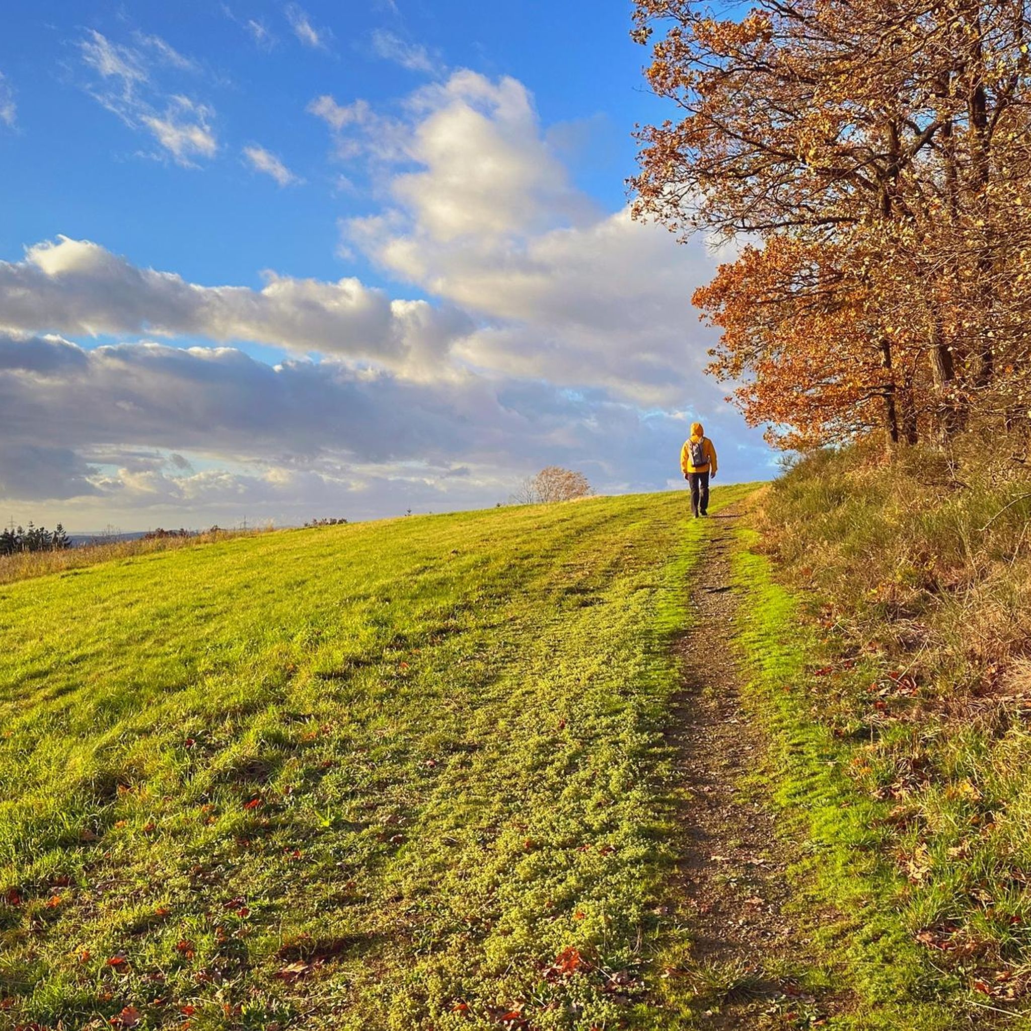
After a constant up and down through the Hunsrück forest, it is nice to enjoy a view like this every now and then. This section of the Saar-Hunsrück Dream Loop offers hikers several of them.
8
0

A really great and well-kept area with rest areas, panoramic loungers, swings, hammocks - a great local recreation area. Horn Castle is located about 600 m west of Horn in a marshy headwater area of the Klingelbach. The impressive 4-5 m high, round castle mound has a diameter of 40 m. A 9-12 m wide, in places 1.5 m deep moat surrounds the castle mound. A well is said to have been uncovered in the partly silted up, partly still swampy ditch. The round hill plateau with a diameter of approx. 20 m shows an approx. 2 m deep trough or a wall-like elevation that encloses the plateau. horn-hunsrueck.de/horner-burg
2
0
A really great and well-kept area with rest areas, panoramic loungers, swings, hammocks - a great local recreation area. Horn Castle is located about 600 m west of Horn in a marshy headwater area of the Klingelbach. The impressive 4-5 m high, round castle mound has a diameter of 40 m. A 9-12 m wide, in places 1.5 m deep moat surrounds the castle mound. A well is said to have been uncovered in the partly silted up, partly still swampy ditch. The round hill plateau with a diameter of approx. 20 m shows an approx. 2 m deep trough or a wall-like elevation that encloses the plateau. https://horn-hunsrueck.de/horner-burg/
2
0

beautiful stage section on the Saar-Hundsrück-Steig
2
0

The hiker also has the best view of the ruins of the Rauschenburg from the Peterslay. The Archbishop of Trier had the Rauschenburg built in 1332 as part of the Eltz feud. It served as a counter-castle to subdue his opponents at the castles of Waldeck, Schöneck and Ehrenburg.
4
0

The official route is currently blocked. After struggling over and under fallen logs, we knew why.
1
0

komootモバイルアプリでインスピレーションを得よう


さらに探索
他の場所で最高の城を探していますか?他のガイドを発見しましょうニーダートでの:
