ミステルガウの絶景の山頂・トップ13
絶景を目指して登るのであれ、達成感のために登るのであれ、山頂を訪れることで、ミステルガウの美しい自然をもっと満喫することができます。13
もの選択肢の中から、制覇する山頂を決めるのは簡単ではありません。スムーズに次の冒険で目指す山頂を選べるように、ミステルガウの素晴らしい山頂をこのガイドにまとめました。
最終更新日: 9月 5, 2026
🏛️ ジーゲシュトゥルム
ハイライト • 記念碑
翻訳者 Google •
役立つ情報 は

ノイビュルク高原と彫刻公園
ハイライト • 展望台
翻訳者 Google •
役立つ情報 は

今すぐサインアップして、こんな場所を発見しよう
最高のシングルトラック、ピーク、その他のエキサイティングなアウトドアスポットのおすすめを受け取ろう。
Hohe Leite
ハイライト • 展望台
翻訳を表示中
役立つ情報 は

ソフィエンベルク
ハイライト • 山頂
翻訳者 Google •
役立つ情報 は
ゾフィエンベルク(クルムベルク)
ハイライト • 山頂
翻訳者 Google •
役立つ情報 は
無料でサインアップして、さらに多くの山を発見しましょう ミステルガウでの。
すでにアカウントをお持ちですか?

コミュニティからのヒント

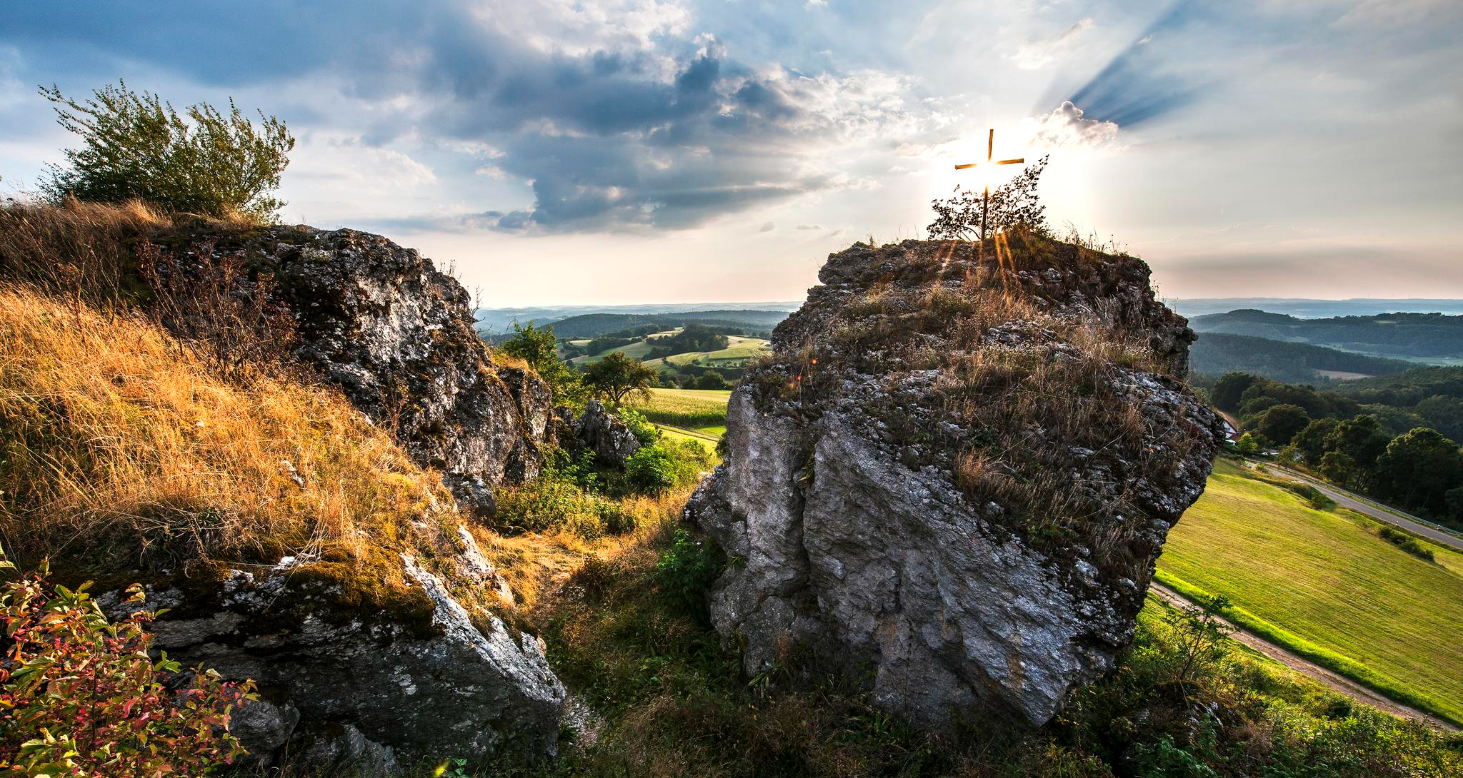
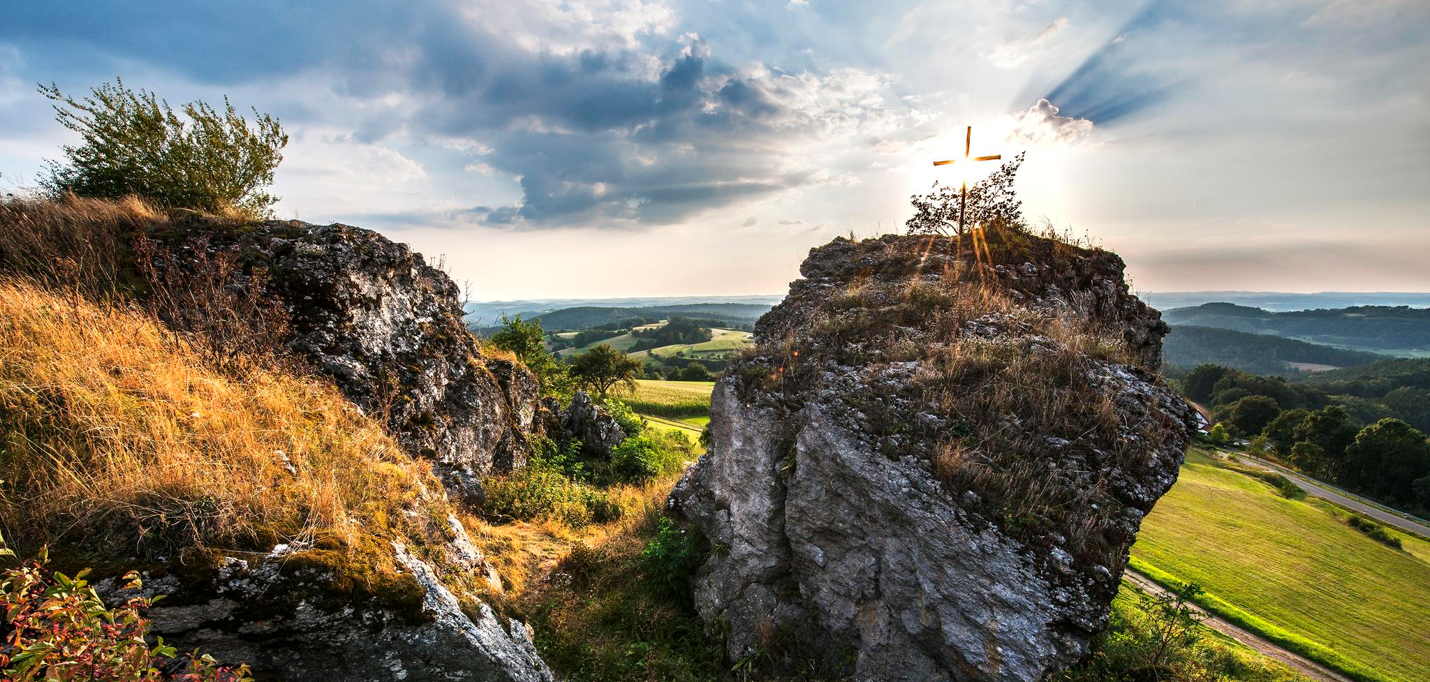
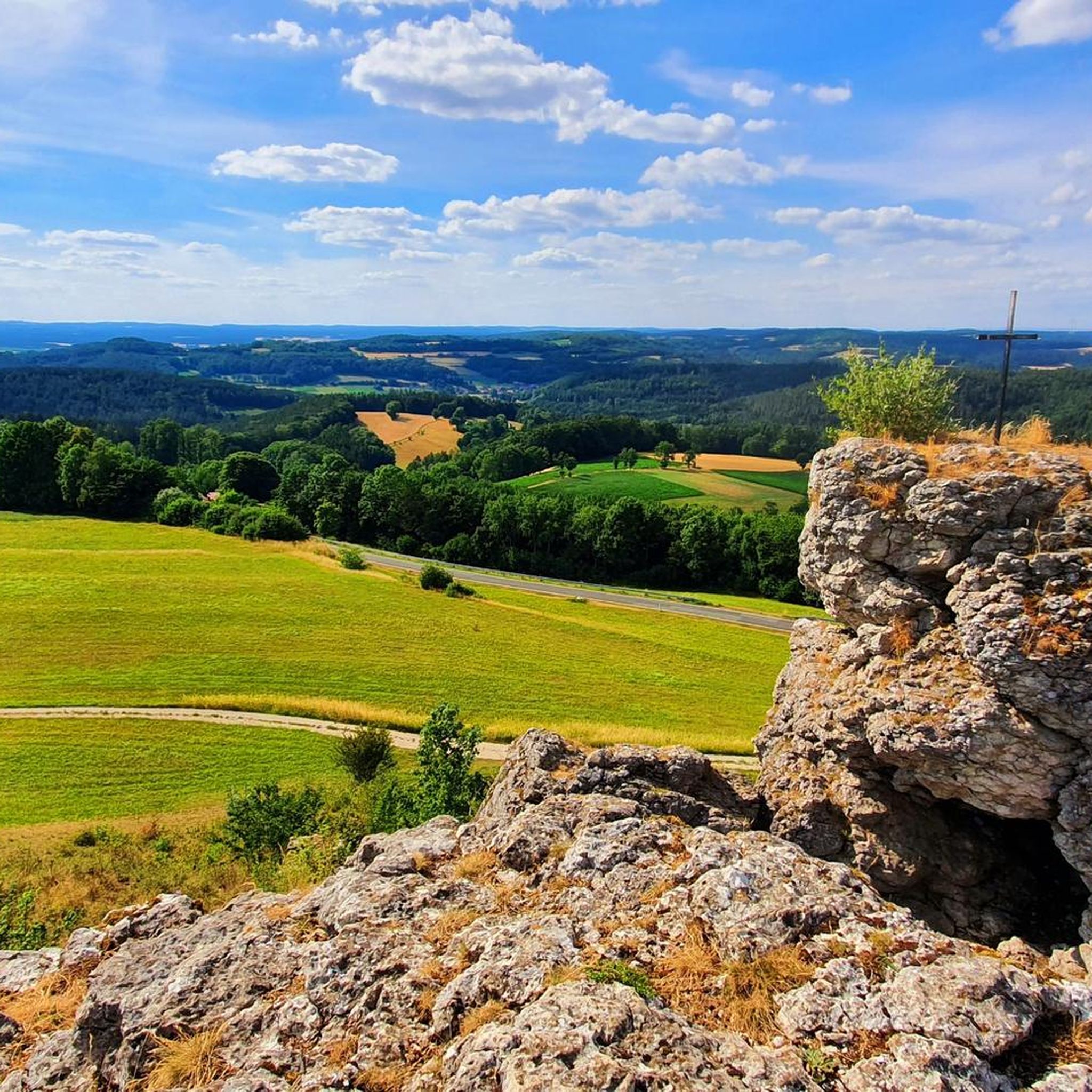
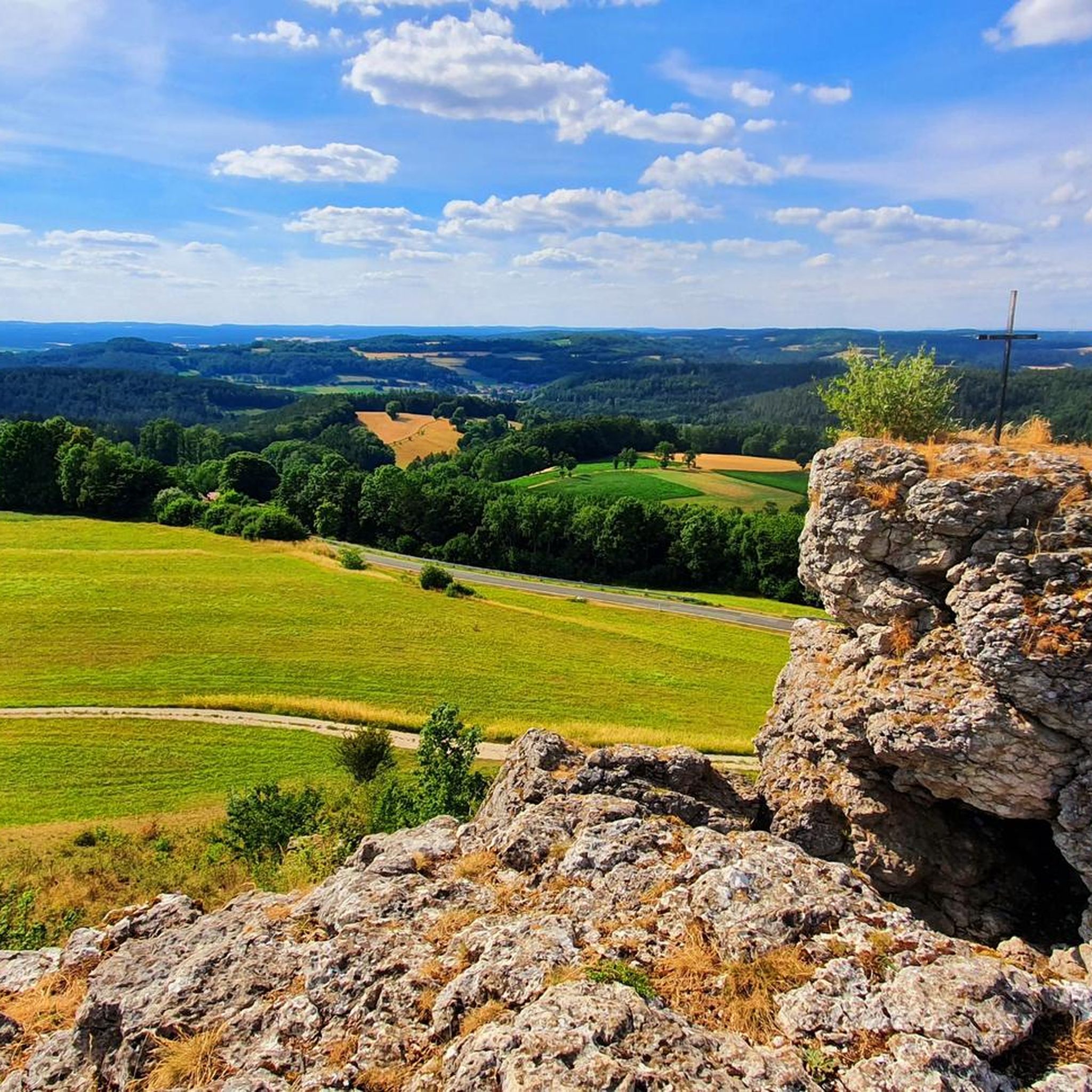
ホーエンライテの尾根は、ハスラッハの町の北に位置し、自然保護区となっています。最も高い場所には、自然愛好家のために息をのむほど美しい景色を望む座席エリアがあります。すぐ近くの北東には、ホーエンミルスベルガー・プラッテが景色を支配しています。その東には、ゲスヴァインシュタイン城が見えます。ホーエンライテの尾根は、一般に「七人の兄弟」とも呼ばれています。標高561メートルのホーエンライテは、古くから伝説に彩られた森林地帯であり、乾燥した草原地帯でもあります。この山稜は、その地質学的特性によって特徴づけられる多様な自然空間の一部です。ここでは、数千年にわたる浸食と地質学的プロセスによって形成された典型的な石灰岩の地層が見られます。これらの岩や崖は、息をのむような背景を提供するだけでなく、多くの珍しい動植物の生息地ともなっています。
4
0

At the summit, you'll enjoy a schnapps. Unfortunately, there's no view from the summit.
0
0

Since the community of Obernschreez suffered no casualties in the First World War, it planted an oak tree on the mountain in commemoration. The community of Schreez (formed in 1939 from the merger of Obernschreez and Unternschreez) erected a memorial on the mountain in 1952 for the fallen and missing soldiers of the Second World War.
11
2
A fortified Celtic hilltop settlement can be traced back to around 550 BC on Sophienberg. In the 12th century, Counts Ulrich and Poppo von Blassenberg built Culmberg Castle. In 1494, Frederick II, Margrave of Brandenburg-Kulmbach, had a watchtower erected there. Nikol von Heerdegen built a knight's castle on the hill in 1513. In 1614, Heerdegen sold the manor to Margrave Christian's first wife, Marie of Prussia, who had the castle restored. In 1662, Margrave Christian Ernst gave the estates on the hill to his young wife, Erdmuthe Sophie. Between 1663 and 1668, she had the already dilapidated castle converted into a new palace, Sophienburg. Tradition has it that the White Lady haunts this building. It was no longer inhabited by 1687, and from 1724 onward, it was no longer administered. It was left to decay, and only remnants of the foundations remain. The Sophienberg exerted a great attraction on Richard Wagner, who first visited it with his wife Cosima and Malwida von Meysenbug in 1872 during his time in Donndorf.
11
2
The Neubürg table mountain is the second highest elevation in the region at 587 meters, after the Sophienberg (593 meters). It is located in the Mistelgau municipality. The Neubürg was formed in the Jurassic period. The top layer consists of limestone, followed by Ornatenton and iron sandstone. The Neubürg is called a table mountain because it has a flat table surface instead of a dome. Due to the erosion-related formation, the Neubürg is also called an island or witness mountain. It stands like an island in the further eroded environment and "witnesses" the rock layers that previously covered the entire area.
13
3


Beautiful mountain, with both flat and steep climbs. However, there is no expansive view at the summit, but rather a kind of plateau.
4
2

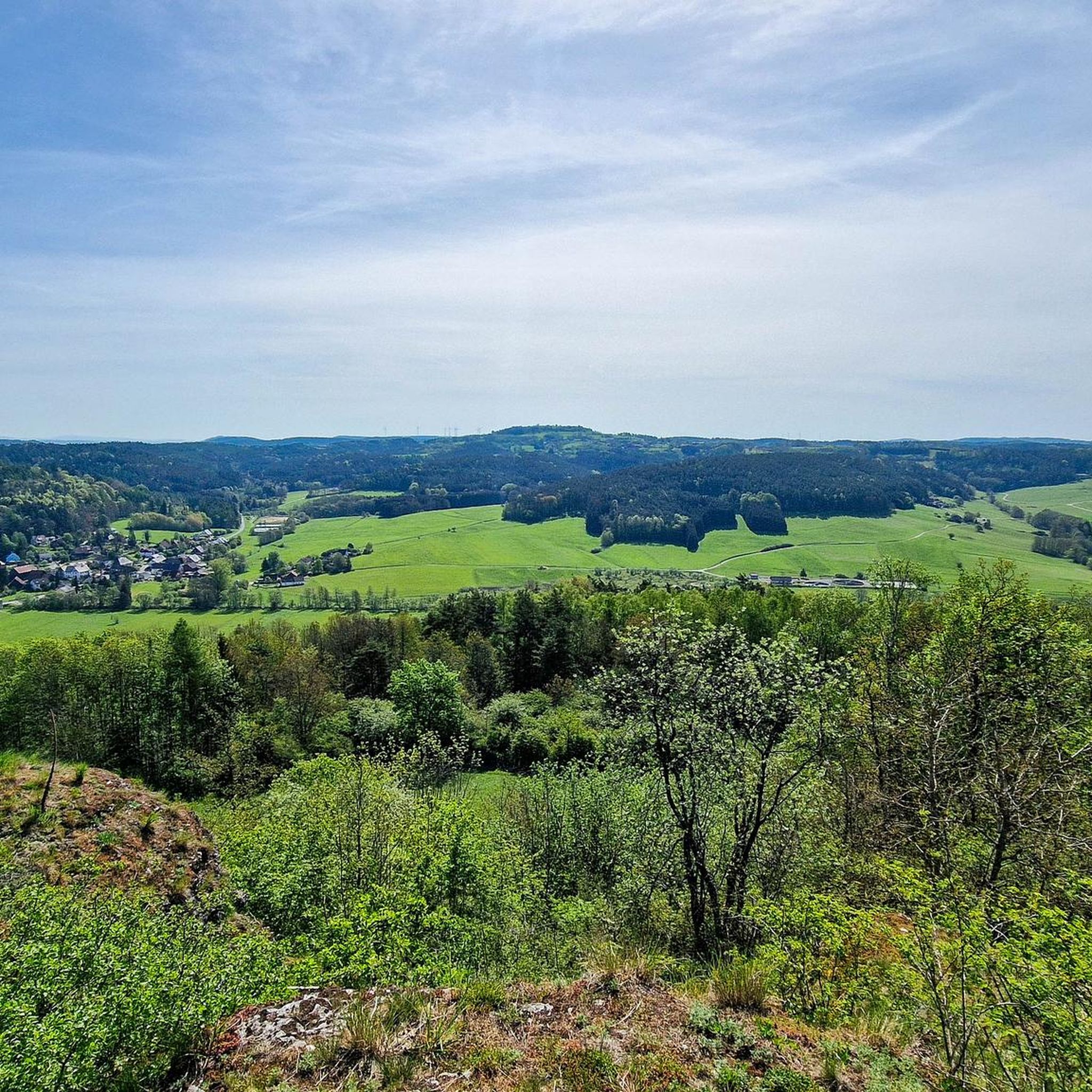
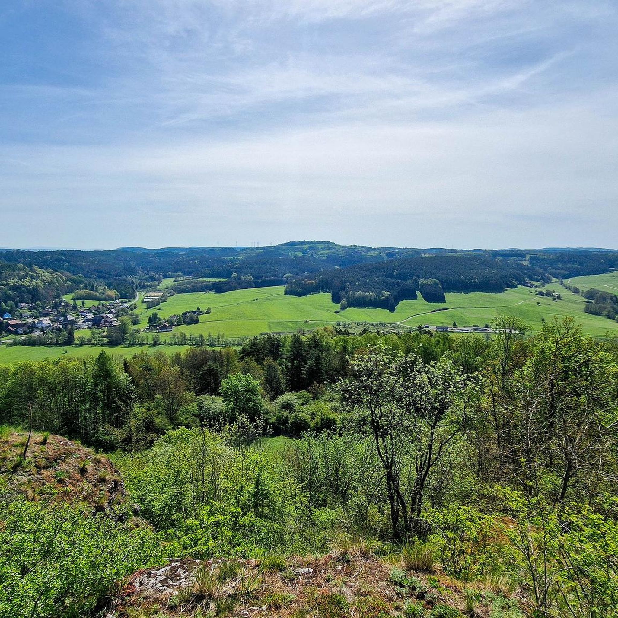
To the east of the summit runs the A9 motorway, which can be clearly heard at times. The lower northern circular route offers a magnificent view over Bayreuth, into the Franconian Forest, and into the Fichtel Mountains. If I'm not mistaken, the Sophienberg is the second-highest mountain in the area, following the Neubürg table mountain.
3
2

komootモバイルアプリでインスピレーションを得よう


さらに探索
これらのガイドでさらに素晴らしい頂上を見てみましょうミステルガウでの:
