プレセックの絶景の山頂・トップ17
絶景を目指して登るのであれ、達成感のために登るのであれ、山頂を訪れることで、プレセックの美しい自然をもっと満喫することができます。17
もの選択肢の中から、制覇する山頂を決めるのは簡単ではありません。スムーズに次の冒険で目指す山頂を選べるように、プレセックの素晴らしい山頂をこのガイドにまとめました。
最終更新日: 10月 11, 2026
ドーブラーベルクのプリンツ・ルイトポルト塔
ハイライト • 展望台
翻訳者 Google •
役立つ情報 は

ラートシュピッツ展望塔
ハイライト • 展望台
翻訳者 Google •
役立つ情報 は

今すぐサインアップして、こんな場所を発見しよう
最高のシングルトラック、ピーク、その他のエキサイティングなアウトドアスポットのおすすめを受け取ろう。
フランケンヴァルテ展望塔
ハイライト • 記念碑
翻訳者 Google •
役立つ情報 は

Döbraberg
ハイライト • 山頂
翻訳者 Google •
役立つ情報 は

レーダーステーション・デーブラーベルク
ハイライト • 記念碑
翻訳者 Google •
役立つ情報 は
無料でサインアップして、さらに多くの山を発見しましょう プレセックでの。
すでにアカウントをお持ちですか?
無料アカウントで今日から始めよう
次の冒険が待っています。
プレセック周辺で人気
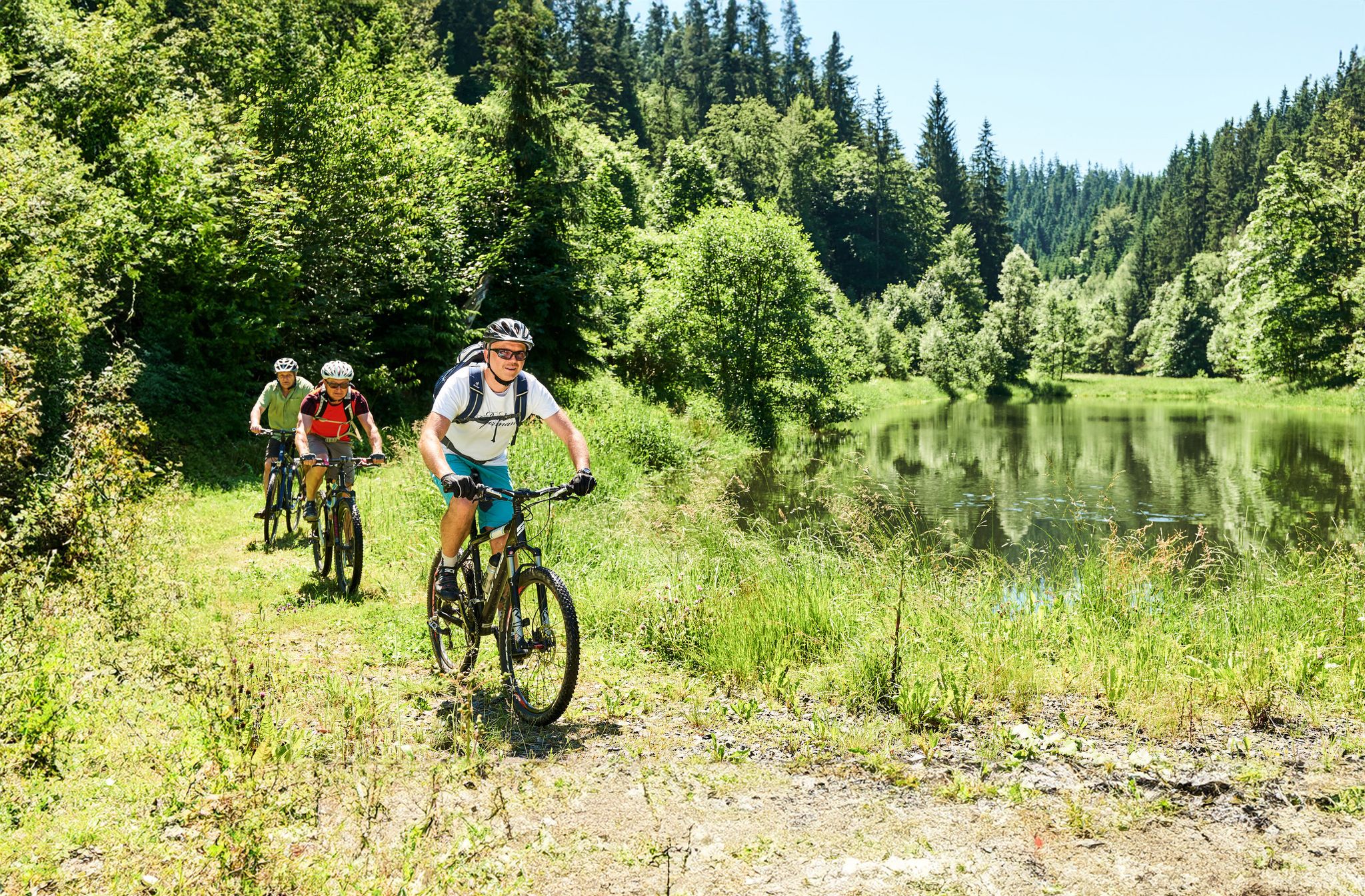
Magical woodland & trails – cycling in Germany’s Franconian Forest

フランコニアン・トレイル - 24のステージにまたがる多様なハイキングの夢
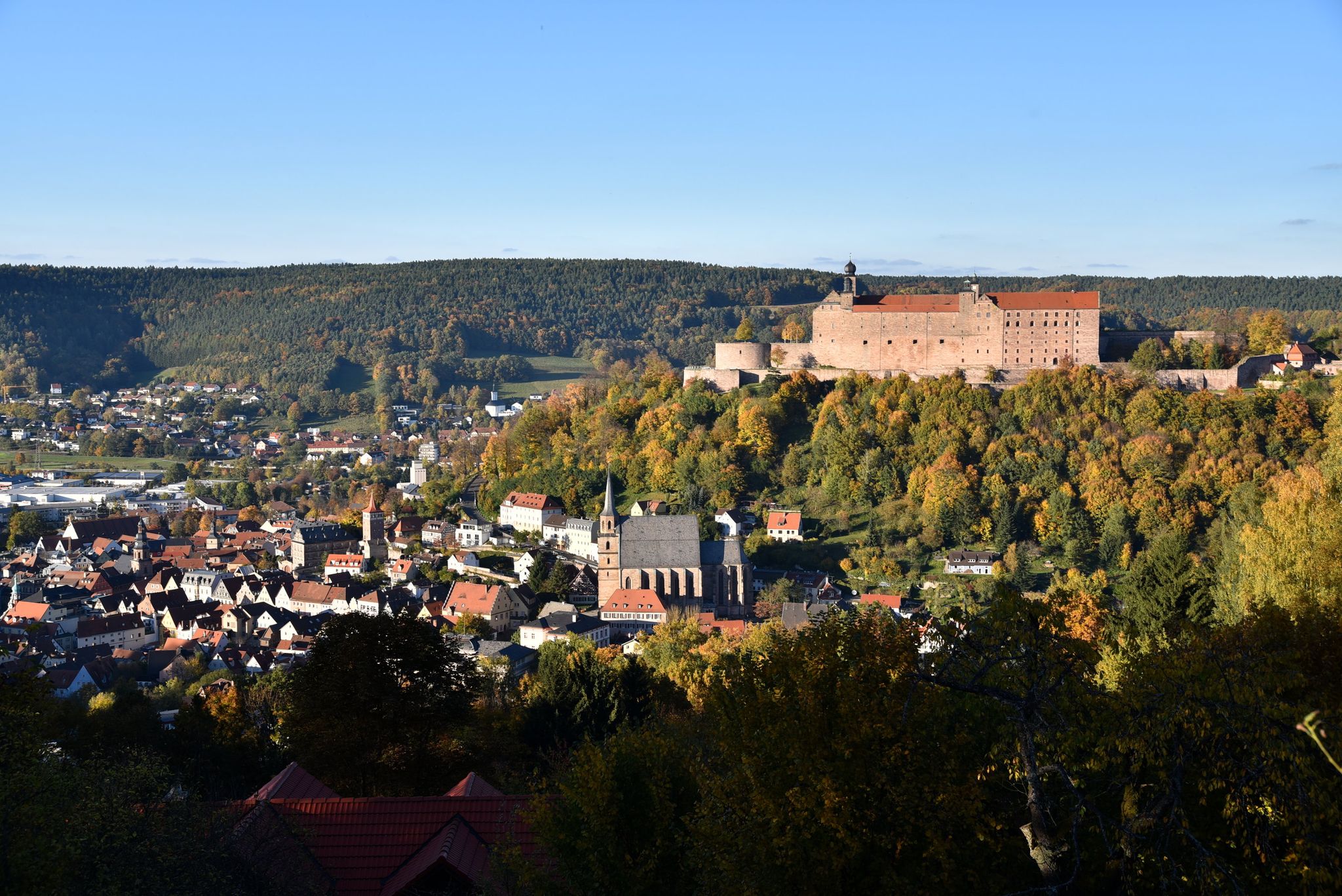
Stop by at the Margraves – hiking around Kulmbach in Bavaria
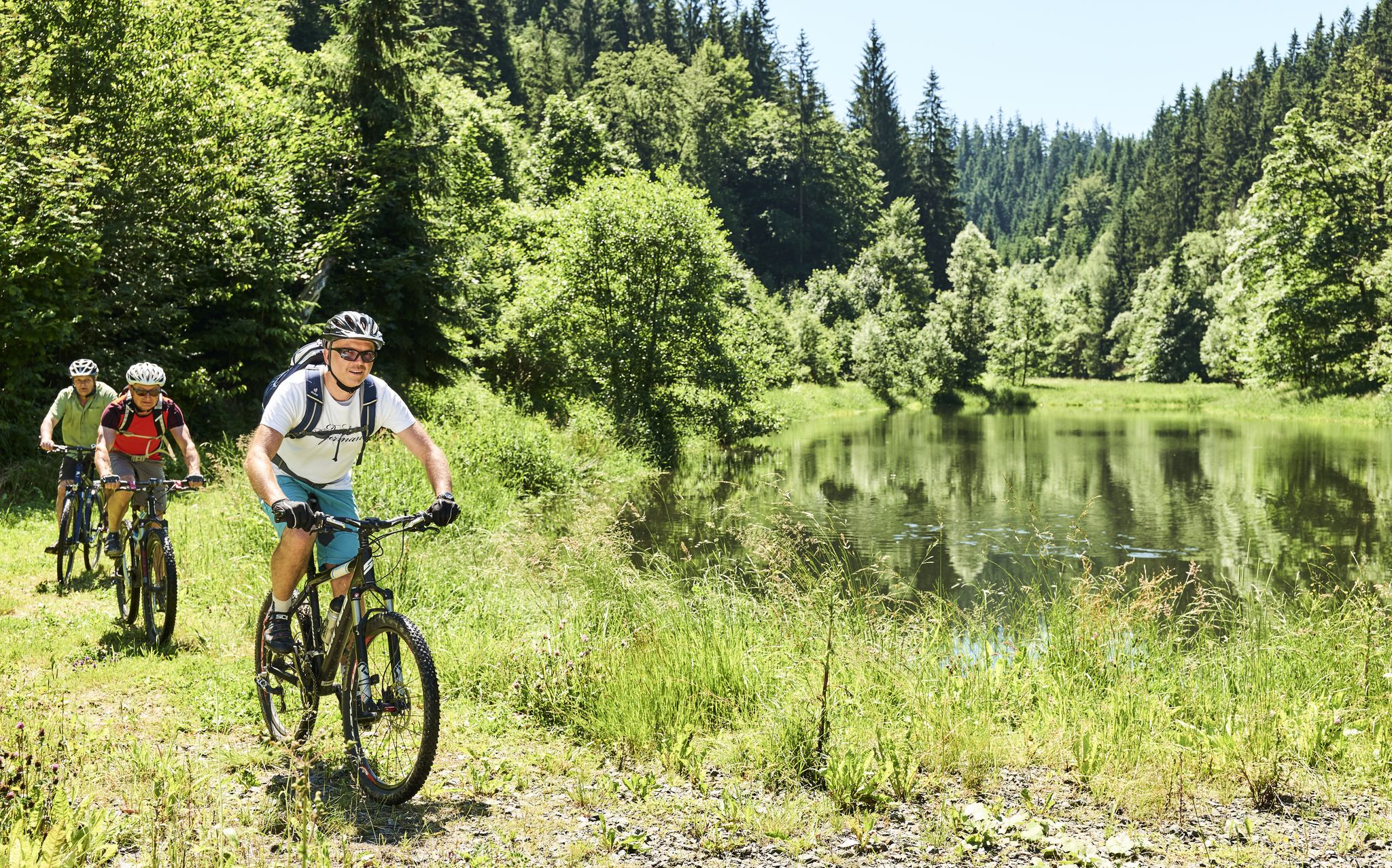
Mountainbiking im Frankenwald
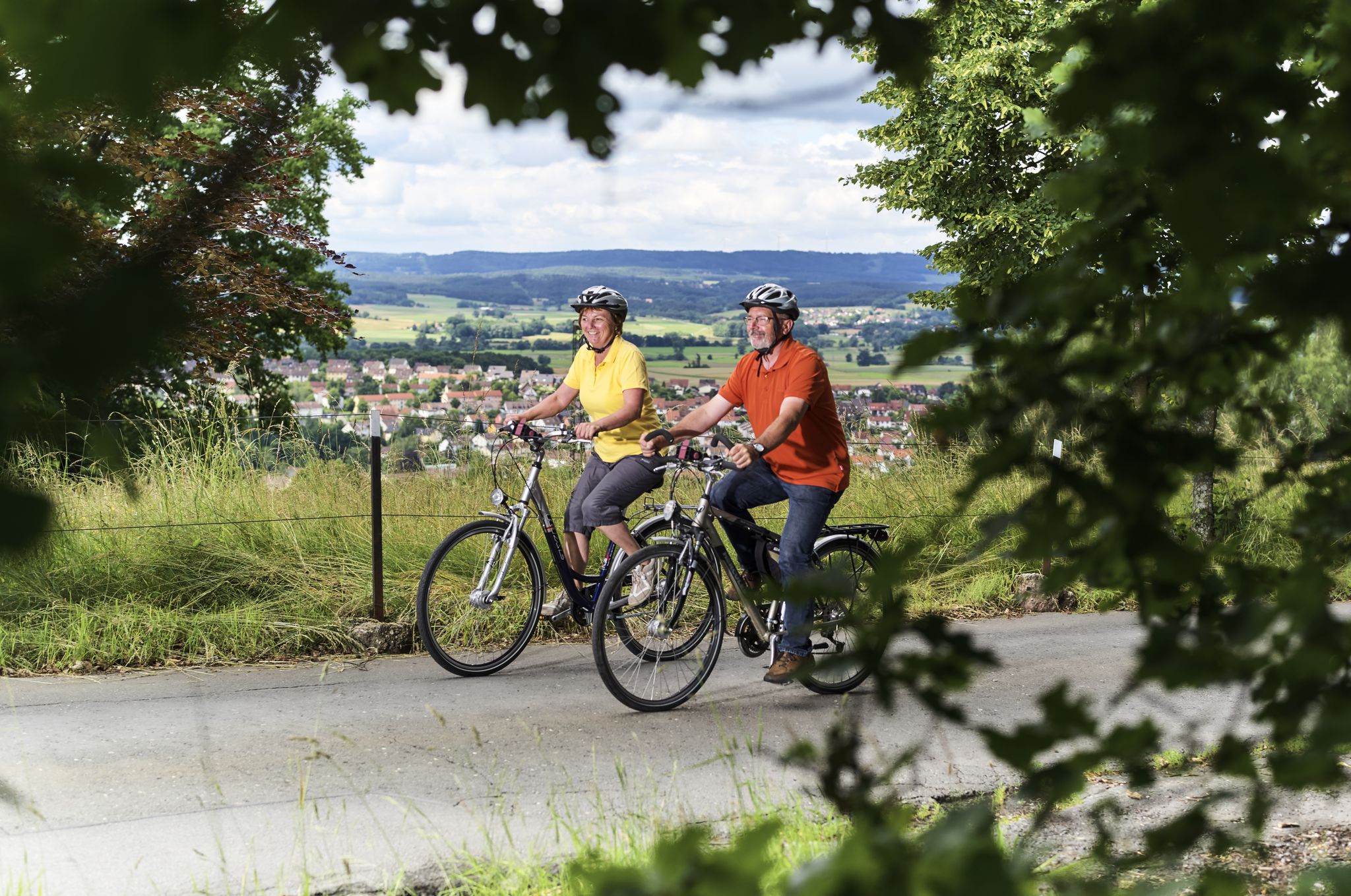
Unsere schönsten Radtouren im Frankenwald

Unsere FrankenwaldSteigla
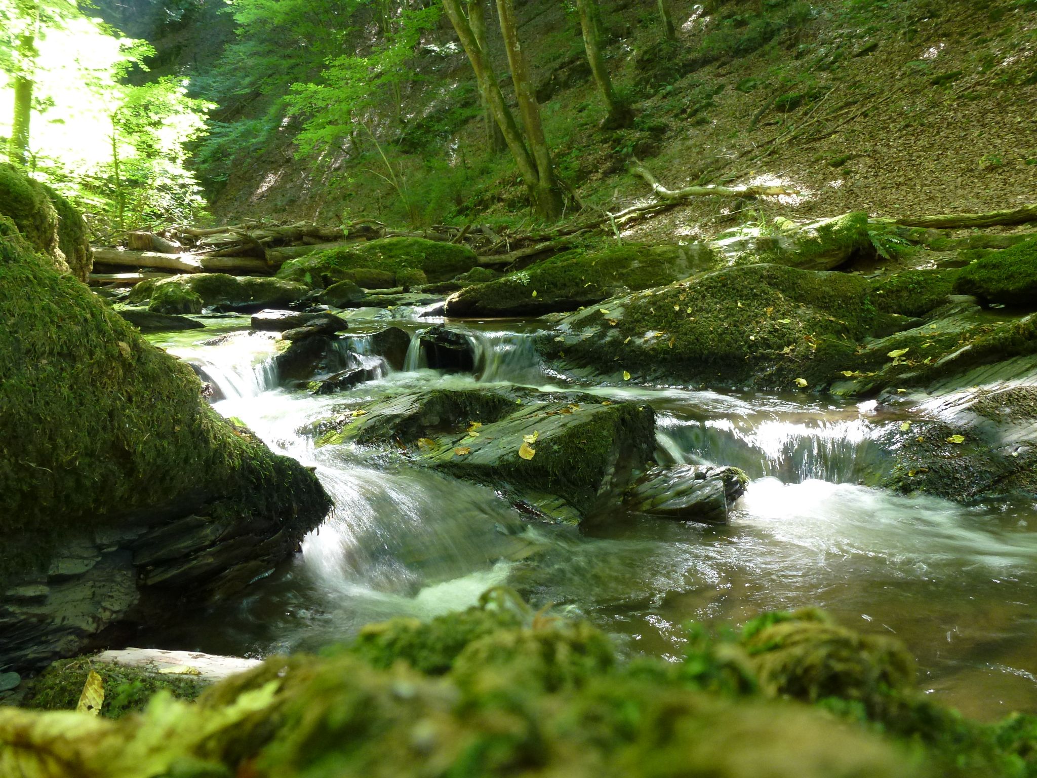
Die Magie von Klammen und Schluchten im Herzen Deutschlands
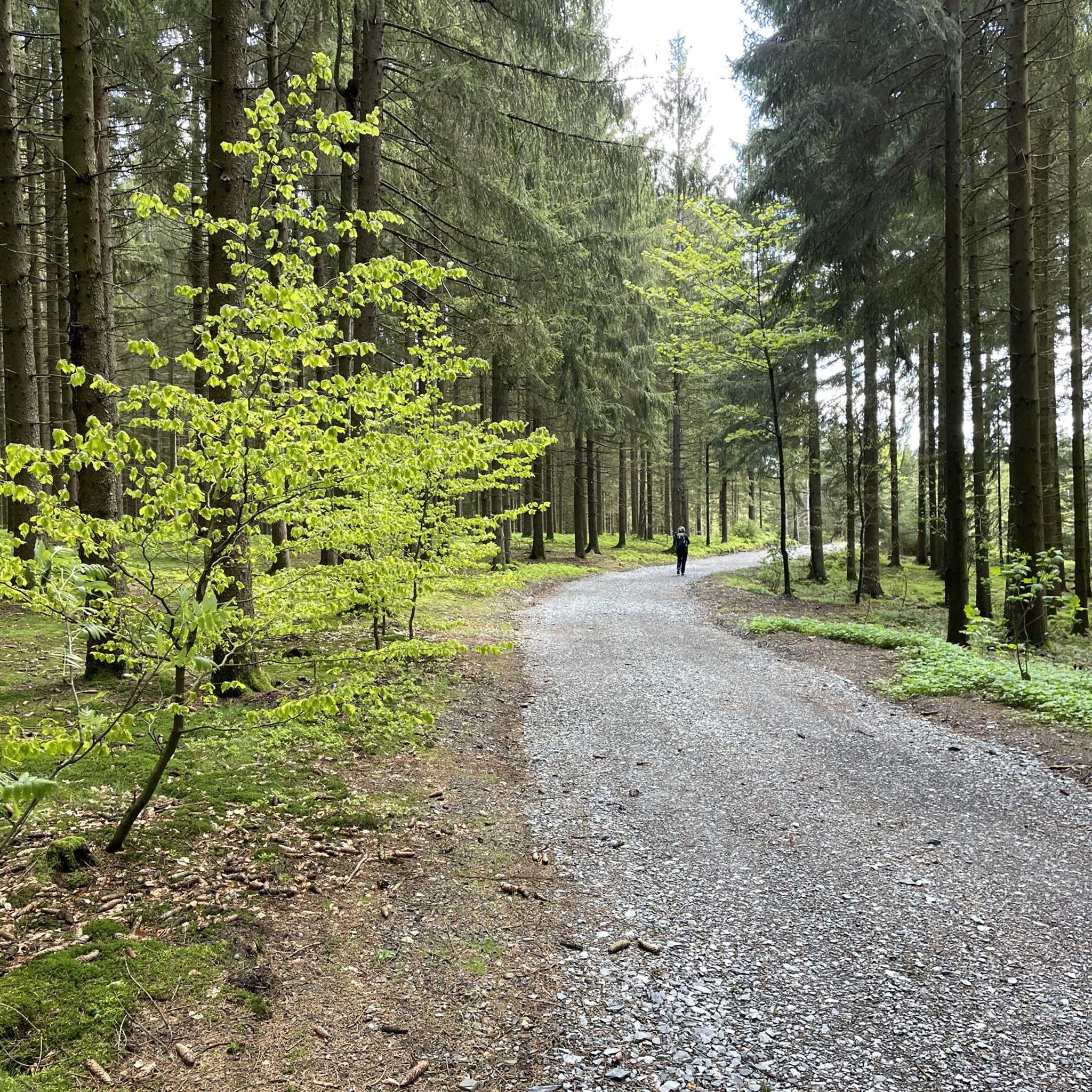
プレセックでのハイキング
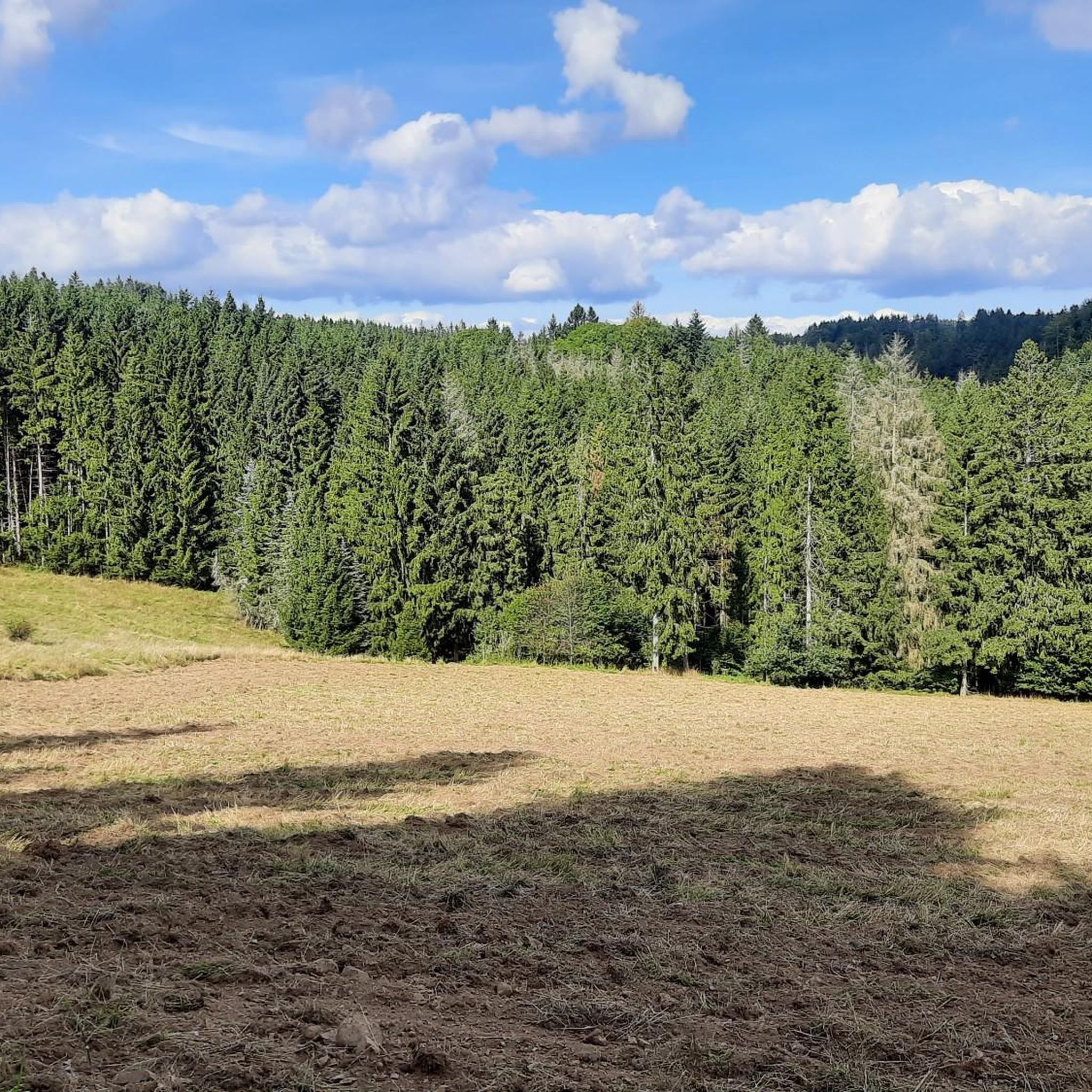
プレセックでのサイクリング
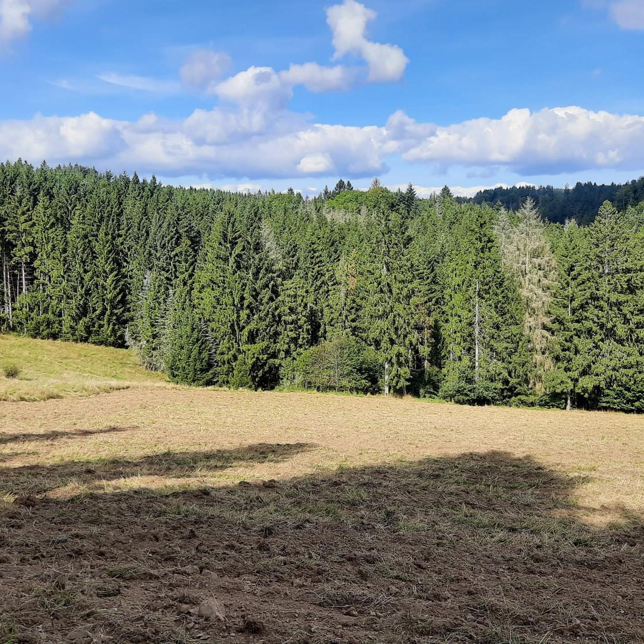
プレセックのMTBトレイル


コミュニティからのヒント

The Frankenwarte (Frankenwarte) stands atop the 679-meter-high Hirschhügel (Hirschhügel). The eight-and-a-half-meter-high, round stone tower offers a panoramic view to the northeast, to the edge of the Höllental valley, to Lichtenberg and Bad Steben, and to the west to the hills near Nordhalben. To the south, Geroldsgrün, the 729-meter-high Spitzberg, and the 758-meter-high Schneidberg can be seen, and hidden behind them, the highest peak in the Franconian Forest, the 794-meter-high Döbraberg. To the southeast, the view extends to the Fichtel Mountains. The Frankenwarte was built and is maintained by the Franconian Forest Association. Plans to build an observation tower on the hill existed as early as 1930. However, the Frankenwarte was not inaugurated until August 12, 1951. In 2020, panoramic panels were installed on the parapet of the viewing platform, illustrating the towns and landscape features visible from here.
13
0

Numerous hiking trails in the region lead past here. The Franconian Forest Association provides information in the entrance area about the special features of the tower and the region. There are plaques at the top to help you find your way around.
5
1
The dome makes the Döbraberg unmistakable and therefore visible from afar. You can see it, for example, from the A9 between Hof and Münchberg (to the right or west of the stated direction of travel). It can also be seen from many spots in the Fichtelgebirge.
2
2

A square stone tower stands on the 678 meter high Radspitze north of Seibelsdorf on the Franconian Forest range of hills. The upper floor is paneled with larch wood and has a roof. The viewing terrace is 12.5 meters high, and there is another platform at a height of 18 meters. A comprehensive overview is offered. In the south-east you can see the Fichtelgebirge, in the south the Franconian Jura plateau with Staffelberg, in the west the Steigerwald, Hassberge and Rhön, in the north-west the Thuringian Forest and the Franconian Forest. The tower was built in 1955 with a height of 16 meters. After the lease with Loewe Opta in Kronach expired, the tower was raised and renewed in 1969. After renovations in 1980 and a general renovation in 2000, on the occasion of the 75th anniversary of the Franconian Forest Association local group Seibelsdorf, the tower shines in its current form.
3
0
Currently completely open again. Edit: February '23 closed again!
3
0

my home territory. Around the Döbraberg you can cross-country ski in winter on a groomed trail. Otherwise there are many forest and trail paths for biking. The view from the mountain rescue hut is unique. Here you can also stay overnight on 4 pitches with a tent. You can register via the Franconian Forest Tourism Portal
5
0

The Frankenwarte is an observation tower of the Frankenwaldverein. It is located on the Hirschhügel hill near Hirschberglein, a district of Geroldsgrün in the Franconian Forest. Planning for the construction of the observation tower began in 1930 and was discontinued due to the war. The Franconian Forest Association acquired the site, the 8.5 m high tower was completed and inaugurated in 1951 as the Frankenwarte. Renovations were carried out in the 1980s. The hill is also of natural historical importance with its nutrient-poor grassland. Source: Wikipedia
5
1

The observation tower "Frankenwarte" rises on the almost 680 meter high deer hill. The round stone tower is more than eight meters high, from several viewing hatches you have a wonderful view of the entire area. With good visibility you can see as far as the Fichtelgebirge.
4
0

komootモバイルアプリでインスピレーションを得よう


さらに探索
これらのガイドでさらに素晴らしい頂上を見てみましょうプレセックでの:
